Skip to content
Plan & Tour
DestinationsItinerariesTravel BlogAboutContact
0Sign inPlan a trip
Plan & TourPlan & Tour

Travel guides, destination inspiration and curated itineraries for Canada, the USA and beyond, plus a free tool to plan your own day-by-day trip.

Get travel inspiration

Explore

  • All Destinations
  • Curated Itineraries
  • Travel Blog
  • Plan a Trip

Topics

  • Hiking & Nature
  • Food & Drink
  • City Breaks
  • Budget Travel

Company

  • About Us
  • Contact
  • Privacy Policy
  • Terms of Service

© 2026 Plan & Tour. Built for travellers.

Discover the world, one trip at a time.

Kobuk River: Rafting Alaska’s Remote Arctic Wilderness
  1. Home
  2. Destinations
  3. Alaska
  4. Kobuk River: Rafting Alaska’s Remote Arctic Wilderness
River

Kobuk River: Rafting Alaska’s Remote Arctic Wilderness

Float through caribou migration corridors and ancient sand dunes on one of North America's wildest northern rivers.

AlaskaUpdated 14 August 2026

Why the Kobuk River Stands Out

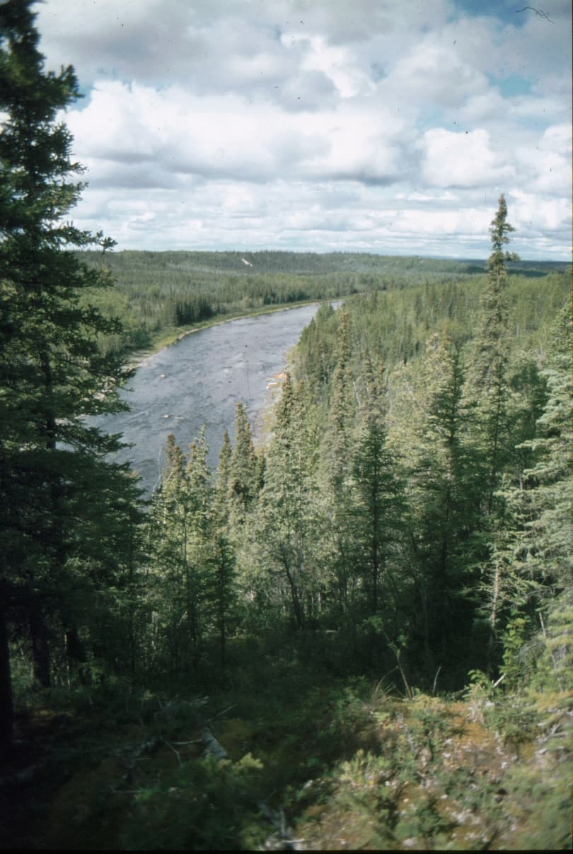
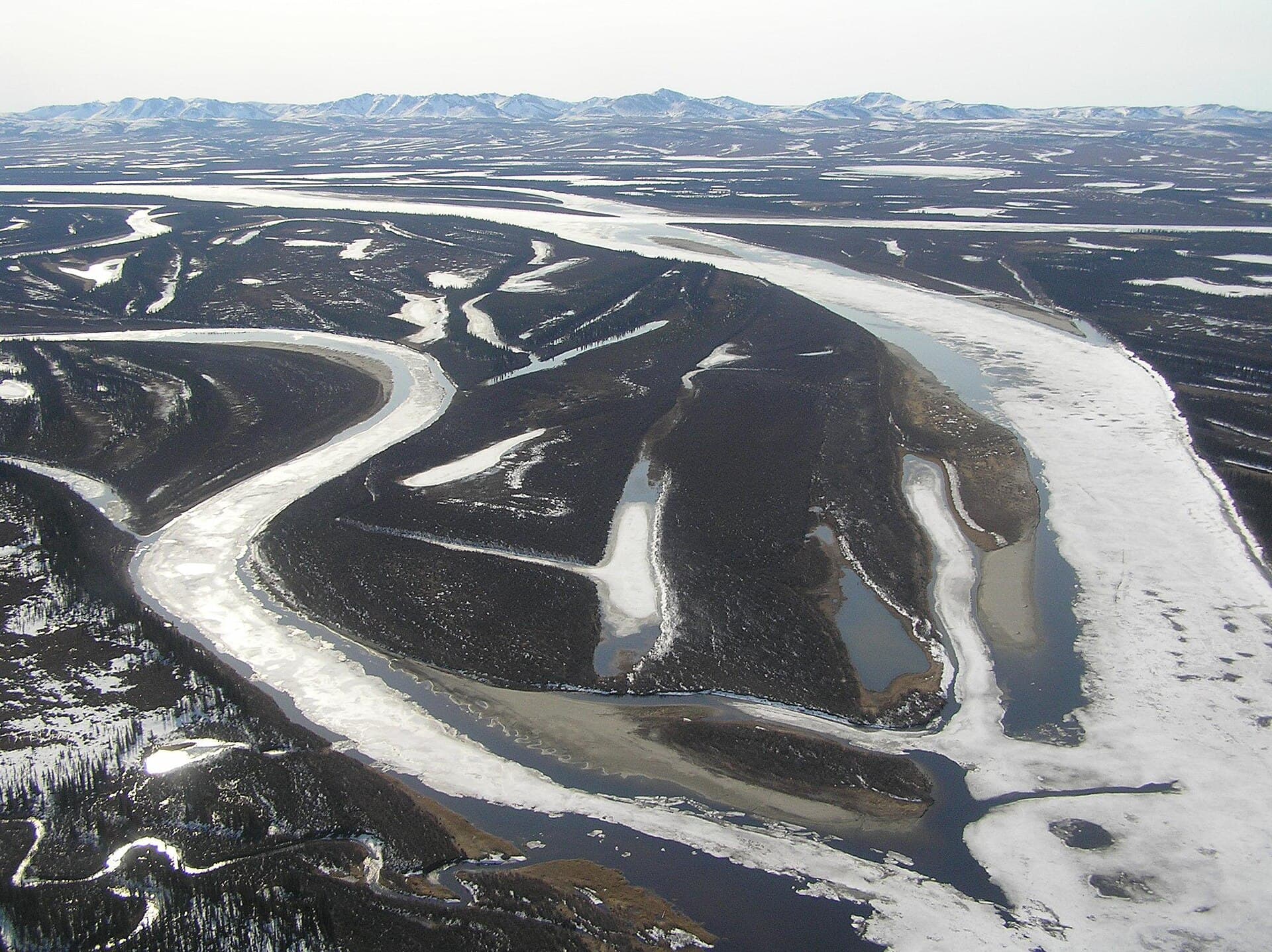
The Kobuk River drains a vast, roadless basin in northwest Alaska, flowing 347 miles from the western Brooks Range to Kotzebue Sound. Its clear, braided channels cut through boreal forest and tundra while skirting the Great Kobuk Sand Dunes, the largest active dune field above the Arctic Circle. Visitors experience true wilderness with no commercial development along most of the river.

Getting There

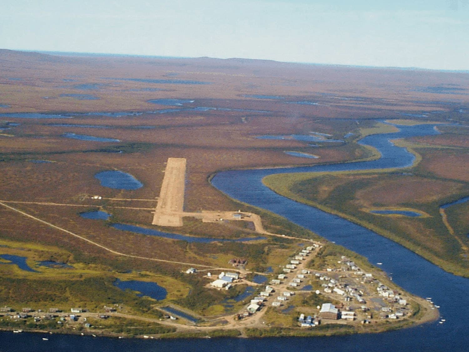
Commercial flights reach Kotzebue or Bettles. From either hub, travelers arrange float-plane charters or jet-boat shuttles to put-in points such as the village of Ambler or the river’s headwaters inside Gates of the Arctic National Park and Preserve. Most trips end at the village of Kiana, where scheduled air service returns paddlers to Kotzebue.

Best Time to Visit

June through early September offers ice-free water and 24-hour daylight. Peak caribou crossings occur in late August and early September. Earlier in the season, higher water levels speed travel; later, lower flows expose gravel bars ideal for camping and fishing.

Activities on the River

  • Multi-day raft or canoe floats from Ambler to Kiana, covering 150 miles in six to ten days.
  • Hiking the 25-square-mile Great Kobuk Sand Dunes, reached via short side channels near river mile 90.
  • Angling for sheefish, chum salmon, Arctic grayling, and northern pike in clear side sloughs.
  • Wildlife viewing of Western Arctic caribou herds, grizzly bears, moose, and migratory waterfowl.

Nearby Destinations

The Kobuk lies within or adjacent to Kobuk Valley National Park, Gates of the Arctic National Park and Preserve, and Noatak National Preserve. Travelers often combine a Kobuk float with a flight to the Noatak River or a visit to the onion-domed onion domes of the historic village of Shungnak.

Visitor tips

  • File a detailed float plan with the National Park Service ranger station in Kotzebue before departure; satellite messengers are strongly recommended.
  • Cache extra food and fuel at Kiana or Ambler for return flights, as weather delays are common.
  • Carry bear-resistant containers and practice Leave No Trace principles on gravel-bar campsites.

Frequently asked questions

Do I need a permit to float the Kobuk River?+

No permit is required for private recreational use, but commercial guides must obtain concessions from the National Park Service.

How long does a typical Kobuk River trip take?+

Most paddlers allow seven to ten days to cover the popular 150-mile section from Ambler to Kiana, including time for side hikes and fishing.

What kind of boat is best for the Kobuk?+

Inflatable rafts or folding canoes handle the shallow, braided sections best; hard-shell canoes work well during higher June flows.

Are there any villages or services along the river?+

Only the small communities of Ambler, Shungnak, and Kiana offer limited supplies; plan to be fully self-sufficient between these points.

Can I see the Great Kobuk Sand Dunes without a guide?+

Yes, the dunes are accessible by foot from several river campsites, but carry a map and compass as trails are unmarked.

Share
Google Maps Apple Maps Directions

Image: LCGS Russ · CC BY-SA 3.0 · via Wikimedia Commons

Keep reading

Nearby & related
All stories
Mount Amukta: Remote Volcanic Wilderness in Alaska’s Aleutian Islands
Aleutians West Census Area

Mount Amukta: Remote Volcanic Wilderness in Alaska’s Aleutian Islands

An isolated stratovolcano offering dramatic landscapes and true wilderness for experienced adventurers.

14 August 2026
Mount Cook, Alaska: Exploring the Remote Saint Elias Wilderness
Alaska

Mount Cook, Alaska: Exploring the Remote Saint Elias Wilderness

Discover the rugged beauty and solitude of Mount Cook in Wrangell-St. Elias National Park.

14 August 2026
Mount Douglas: Remote Wilderness Hiking on Alaska’s Kenai Peninsula
Kenai Peninsula Borough

Mount Douglas: Remote Wilderness Hiking on Alaska’s Kenai Peninsula

Experience the untouched volcanic slopes and sweeping coastal views of Mount Douglas in Alaska’s remote backcountry.

14 August 2026