Why the Sagavanirktok River Stands Out
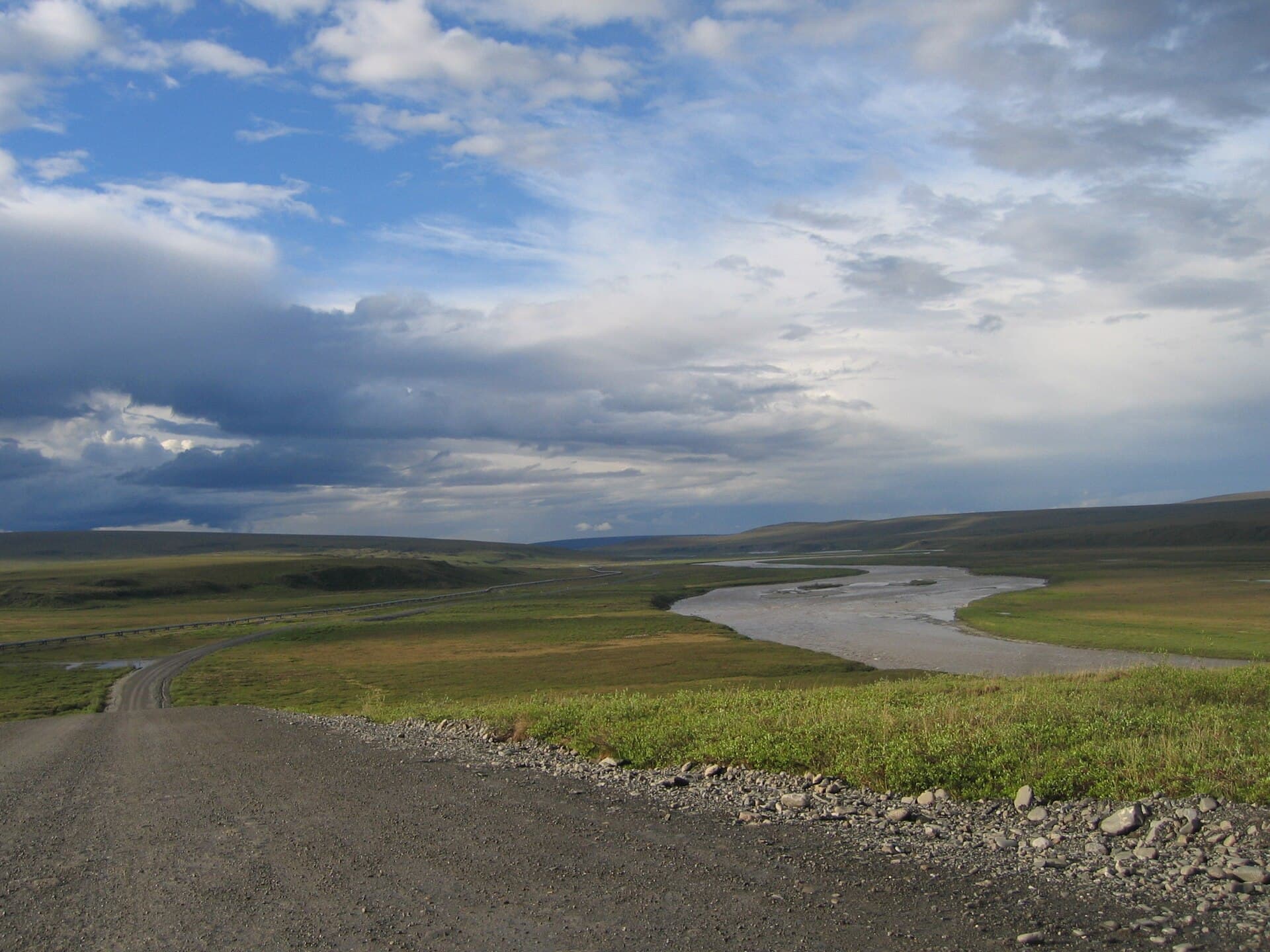
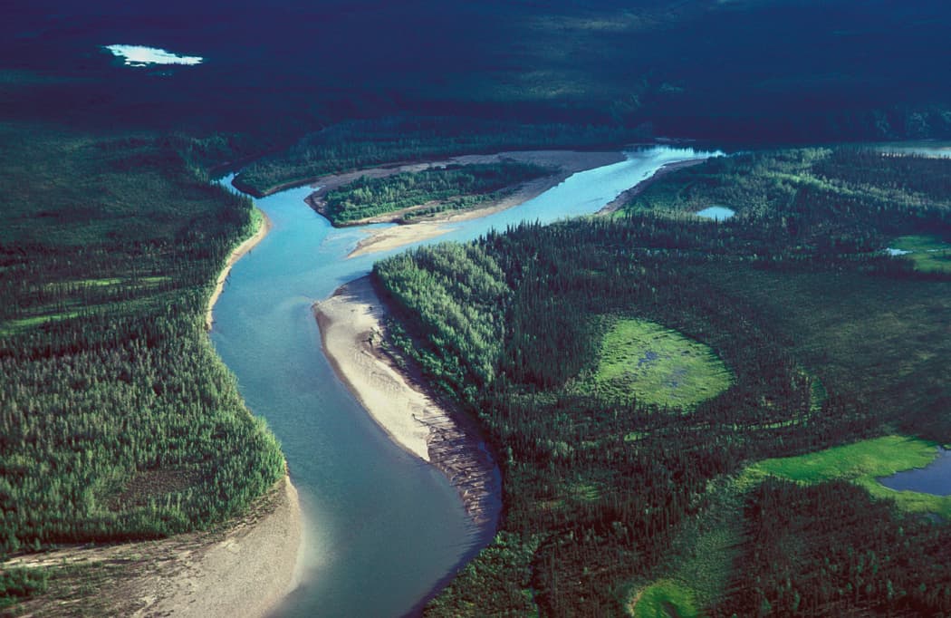
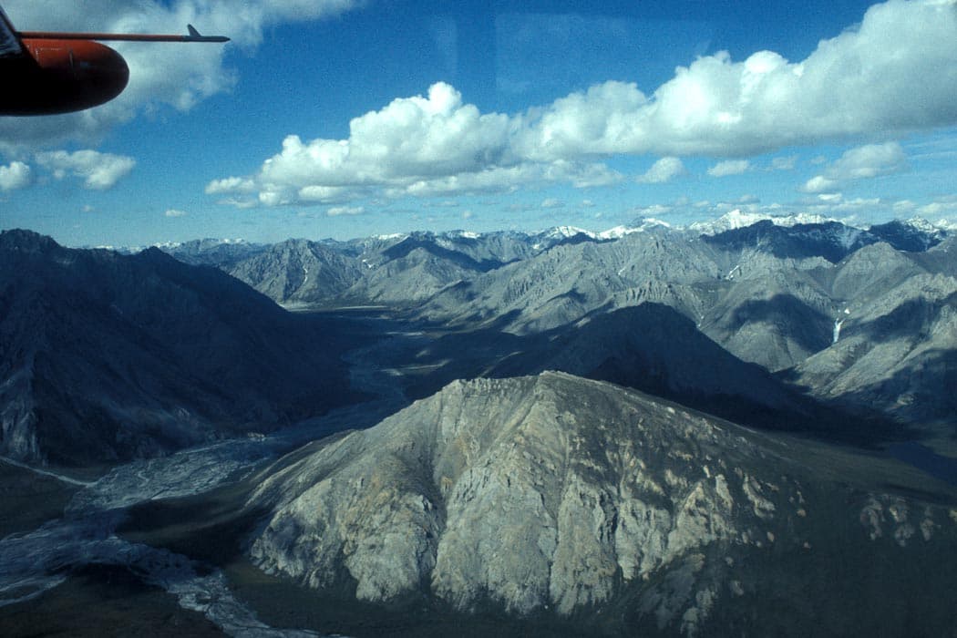
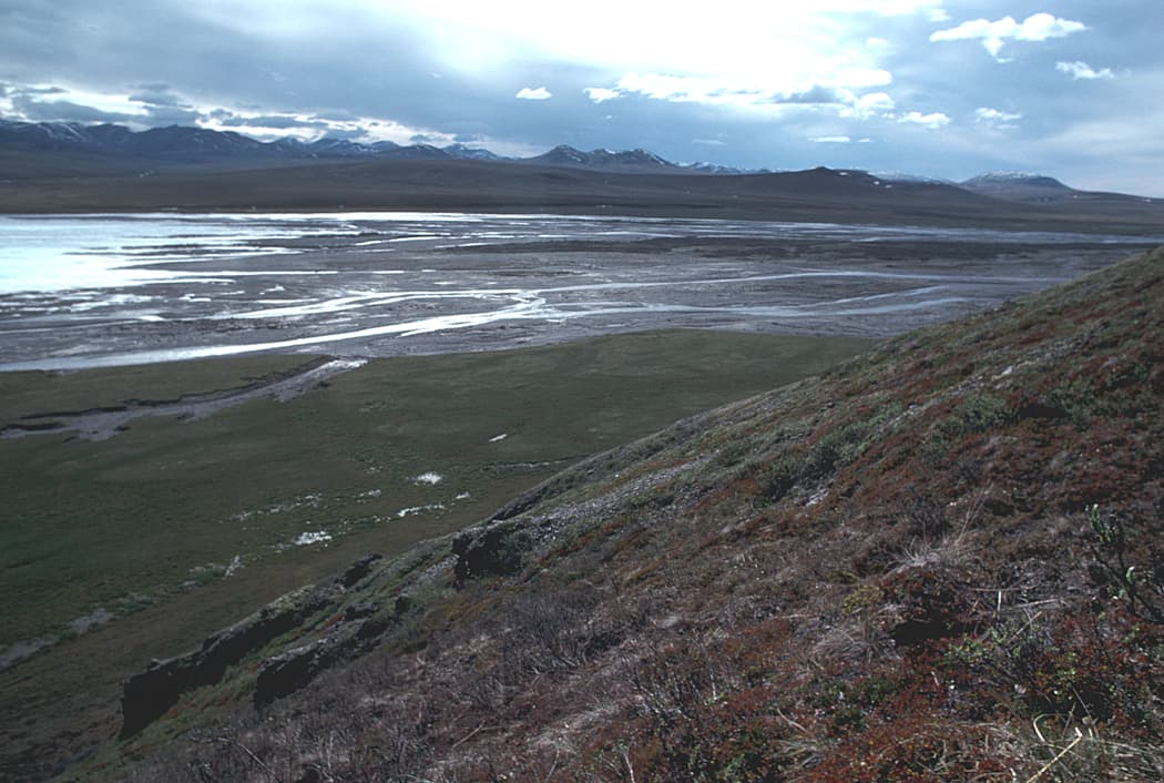
The Sagavanirktok River cuts through the tundra of Alaska’s North Slope Borough, flowing north from the Brooks Range foothills to the Beaufort Sea. Its braided channels, gravel bars, and surrounding wetlands offer a true Arctic wilderness experience far from any pavement or crowds. Visitors come for the sense of isolation, the chance to see caribou herds, and the dramatic light of the midnight sun.
Getting There
Access begins with a flight to Deadhorse Airport near Prudhoe Bay. From there, travelers typically join guided raft or boat trips that put in along the Dalton Highway corridor or at remote gravel bars. Independent access is extremely limited because the area lacks developed trails or public boat launches. Most visitors arrange transport with outfitters based in Fairbanks or Anchorage who coordinate logistics with local air services.
Best Time to Visit
The brief Arctic summer from mid-June through August provides the only practical window. River levels are highest in early summer from snowmelt, while late July and August bring milder temperatures and active wildlife. Outside these months the river is frozen and daylight is minimal or absent.
Activities on the Water and Tundra
Multi-day rafting trips reveal changing scenery from narrow canyons to wide coastal plain. Anglers target Arctic grayling and Dolly Varden char in clear side channels. Short hikes onto the tundra yield views of migratory birds, muskoxen, and caribou. Photographers prize the endless horizon and shifting ice floes near the river mouth. All activities require bear-aware practices and Leave No Trace principles because the ecosystem recovers slowly.
Nearby Destinations
The river lies close to the start of the Dalton Highway, allowing extensions north to the Arctic Ocean at Prudhoe Bay or south toward the Brooks Range passes. Some travelers combine a Sagavanirktok trip with visits to the Arctic National Wildlife Refuge to the east or the Gates of the Arctic National Park further south.