Skip to content
Plan & Tour
DestinationsItinerariesTravel BlogAboutContact
0Sign inPlan a trip
Plan & TourPlan & Tour

Travel guides, destination inspiration and curated itineraries for Canada, the USA and beyond, plus a free tool to plan your own day-by-day trip.

Get travel inspiration

Explore

  • All Destinations
  • Curated Itineraries
  • Travel Blog
  • Plan a Trip

Topics

  • Hiking & Nature
  • Food & Drink
  • City Breaks
  • Budget Travel

Company

  • About Us
  • Contact
  • Privacy Policy
  • Terms of Service

© 2026 Plan & Tour. Built for travellers.

Discover the world, one trip at a time.

Sirente-Velino Regional Park: Hiking the Rugged Heart of Abruzzo
  1. Home
  2. Destinations
  3. Province of L'Aquila
  4. Sirente-Velino Regional Park: Hiking the Rugged Heart of Abruzzo
Protected area

Sirente-Velino Regional Park: Hiking the Rugged Heart of Abruzzo

This protected expanse of limestone massifs, high plateaus and ancient beech woods offers serious walkers and wildlife watchers a quieter alternative to the Dolomites.

Province of L'AquilaUpdated 14 August 2026

Why Sirente-Velino Regional Park Rewards a Visit

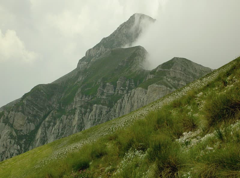
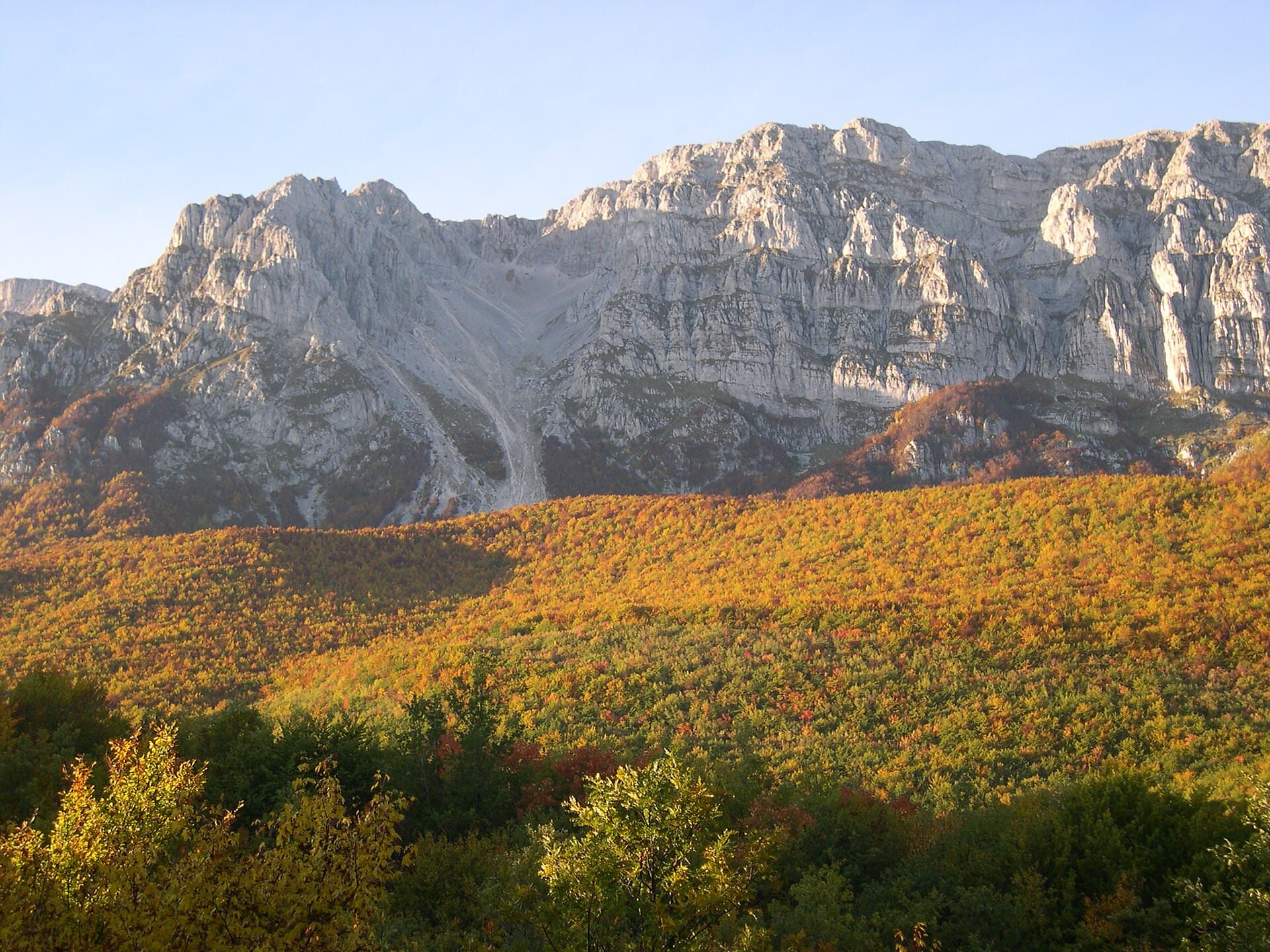
Straddling the Province of L’Aquila, Sirente-Velino Regional Park protects two parallel limestone ranges—the Velino and Sirente massifs—rising above 2,400 m. Between them lie karst plateaus, seasonal lakes and one of the largest intact beech forests in central Italy. The park is home to Marsican brown bears, Apennine wolves and golden eagles, yet it remains far less crowded than the Gran Sasso or Maiella parks.

Signature Landscapes and What to Do

High-Plateau Walks

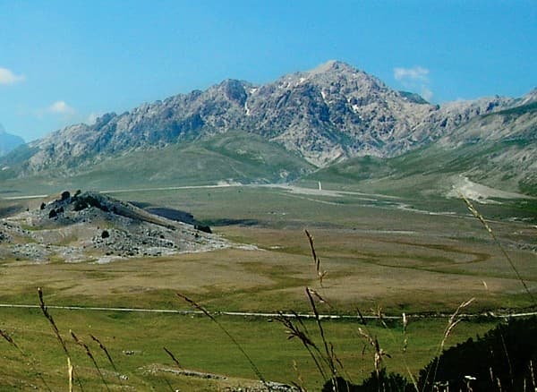
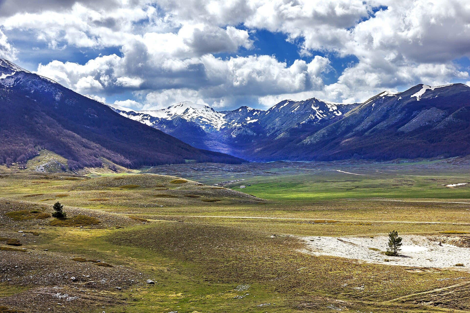
The Piani di Campo Felice and Piani di Pezza offer flat, high-altitude circuits on springy turf with 360-degree views of the Gran Sasso and the Fucino basin. These are ideal for half-day hikes or cross-country skiing in winter.

Waterfalls and Gorges

Trail 1B from Rocca di Cambio descends to the Cascata del Velino, a 30-metre drop that is most impressive after snowmelt. Further south, the Gole di Celano is a narrow limestone canyon reached by a short, signed path from the village of Celano.

Wildlife Viewing

Early-morning or dusk visits to the Valle del Tasso and the beech woods above Ovindoli increase chances of seeing bears or wolves; carry binoculars and remain on marked tracks.

Getting There and Getting Around

The nearest major rail station is L’Aquila. From there, regional buses serve Rocca di Cambio, Ovindoli and Celano on the park’s western edge. A car is essential for reaching trailheads; the SS5 and SS696 roads provide access. Parking areas at Piani di Campo Felice and Passo del Velino are free and usually have space outside peak summer weekends.

Best Time to Visit

Late May to mid-October brings reliable weather and open rifugi. Snow lingers on north faces into June, so check conditions before attempting the Sirente summit (2,348 m). Autumn (September–October) offers fewer visitors and vivid beech colour. Winter is excellent for snowshoeing but requires avalanche awareness.

Nearby Places Worth Combining

The Roman ruins at Alba Fucens lie 15 minutes south. The hill town of Santo Stefano di Sessanio, with its restored tower houses, sits just outside the eastern boundary and makes a good base for two-centre trips.

Visitor tips

  • Carry at least 1.5 litres of water per person; reliable springs are few above 1,800 m.
  • Download offline maps (Komoot or OsmAnd) because mobile coverage drops in the gorges.
  • Respect seasonal closures of certain trails between November and April to protect denning bears.

Frequently asked questions

Are there marked hiking trails suitable for beginners?+

Yes. The Piani di Pezza loop and the path around Lago di Scanno are mostly flat and under 8 km, with clear signage and no technical sections.

Can I see bears without a guide?+

Sightings are possible from public roads and marked trails at dawn or dusk, but a licensed local guide greatly improves chances and ensures you do not disturb the animals.

Where should I stay inside or near the park?+

Rocca di Cambio and Ovindoli have small hotels and agriturismi; Celano offers more budget options and is 10 minutes from the southern entrances.

Is the park accessible by public transport only?+

Buses reach the main villages, but trailheads are 5u201310 km from bus stops, so most visitors rent a car or arrange a taxi from Lu2019Aquila.

What should I pack for a day hike?+

Sturdy boots, sun protection, a windproof layer, and the parku2019s free trail map available at the visitor centre in Rocca di Cambio.

Share
Google Maps Apple Maps Directions

Visitor info

Official website

Contact info via Wikidata

Image: Alessandro Mangione · CC BY-SA 4.0 · via Wikimedia Commons

Keep reading

Nearby & related

All stories
Pizzo Cefalone: Hiking the Gran Sasso Summit in Abruzzo
Province of L'Aquila

Pizzo Cefalone: Hiking the Gran Sasso Summit in Abruzzo

Explore the rugged trails, sweeping Apennine views, and quiet alpine meadows of this peak in Italy’s Gran Sasso National…

14 August 2026
Monte Prena: Hiking the Limestone Ridges of Abruzzo’s Gran Sasso
Province of L'Aquila

Monte Prena: Hiking the Limestone Ridges of Abruzzo’s Gran Sasso

Explore the stark limestone slopes and sweeping Apennine vistas of Monte Prena in Italy’s Gran Sasso National Park.

14 August 2026
Monte Sirente: Hiking Abruzzo’s Wild Sirente-Velino Peaks
Province of L'Aquila

Monte Sirente: Hiking Abruzzo’s Wild Sirente-Velino Peaks

Experience the dramatic limestone ridges, alpine meadows, and rare wildlife of this central Italian mountain in the…

13 August 2026