Why Monte Sirente Rewards Visitors
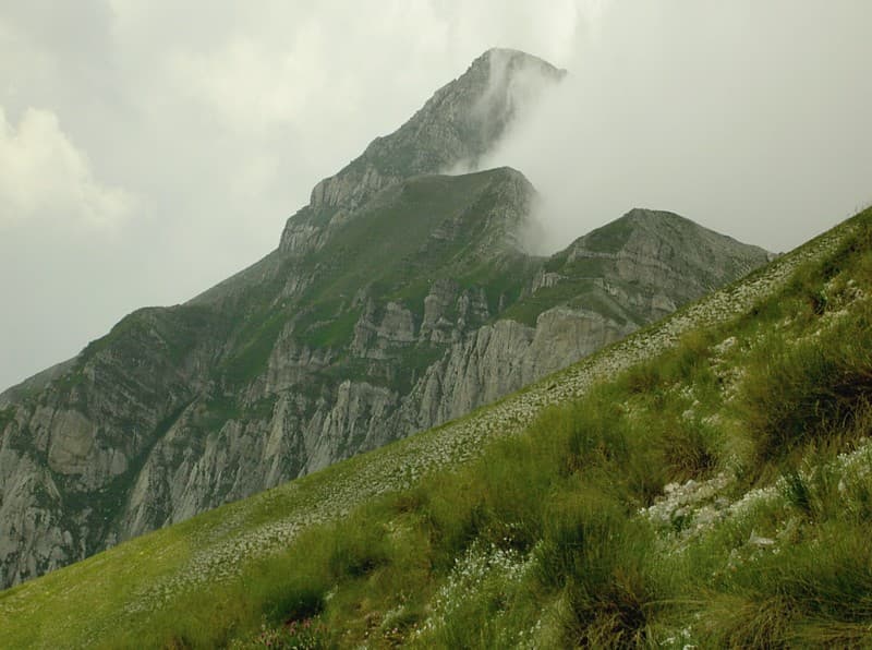
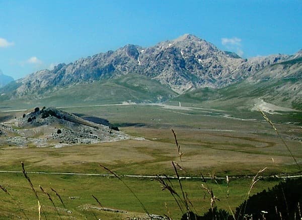
Monte Sirente rises to 2,349 meters as the centerpiece of the Sirente-Velino Regional Park, offering hikers and nature lovers a quieter alternative to the more famous Gran Sasso. Its broad summit plateau and steep southern escarpments create varied terrain that changes dramatically with the seasons. The mountain’s isolation has preserved extensive beech forests on lower slopes and high-altitude grasslands that support chamois, Apennine wolves, and golden eagles.
The Landscape and Wildlife
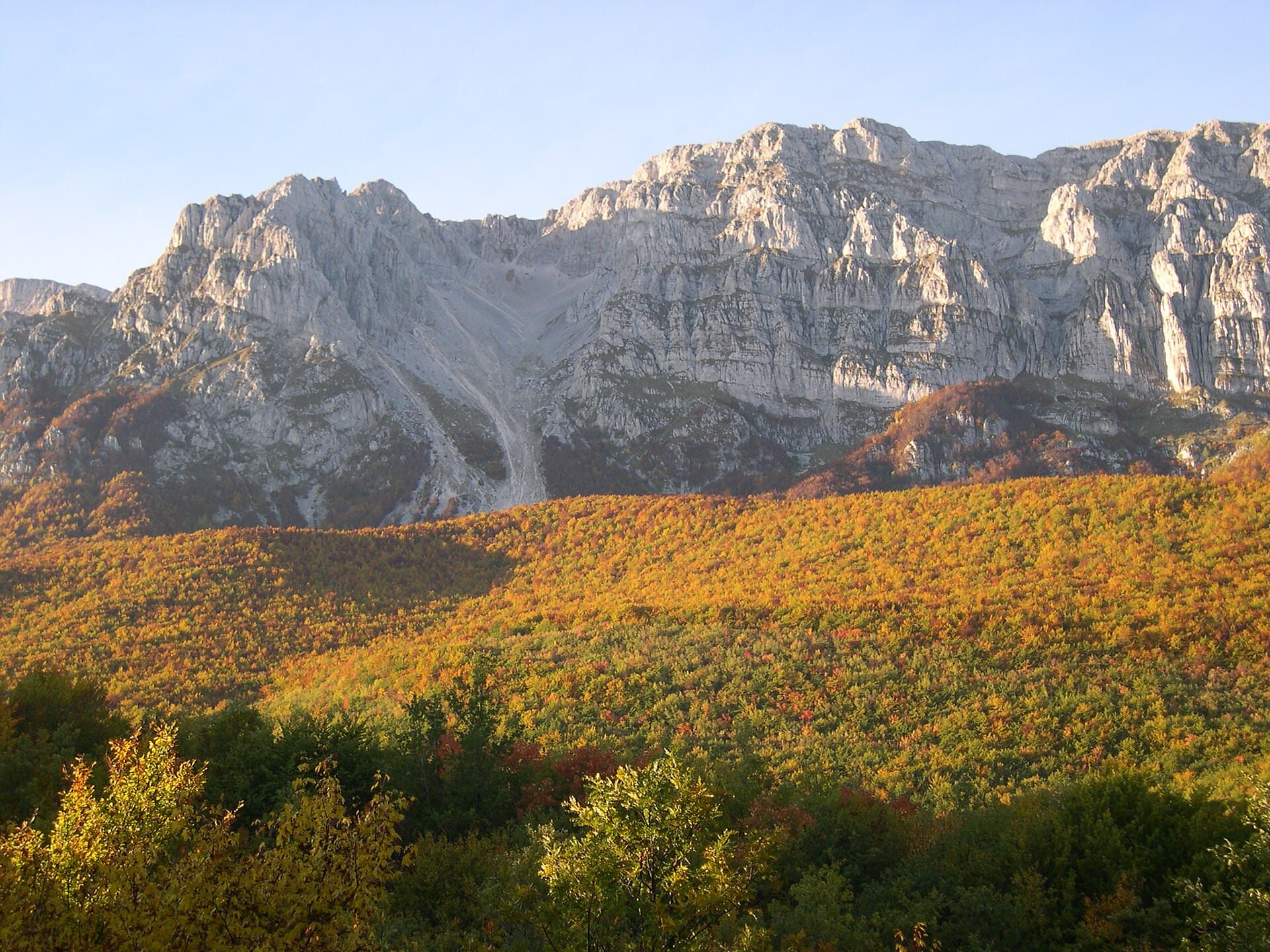
Unlike the jagged Dolomites, Sirente presents rounded ridges and deep karst basins. In spring, gentians and orchids carpet the plateaus; in autumn, the beech woods turn copper. The Sirente crater, a roughly circular depression on the eastern flank, adds geological interest and marks the site of a possible ancient meteorite impact. Clear days reveal sweeping views across the Aterno valley toward the Gran Sasso massif and, on exceptional afternoons, the Adriatic coast.
Getting There and Trail Access
The most practical approach is by car from L’Aquila, roughly 30 kilometers southeast via the SS5 and local roads to the villages of Rocca di Cambio or Ovindoli. From these trailheads, marked paths climb through beech forest to the ridge. Public transport reaches L’Aquila, after which a local bus or taxi covers the final stretch; many hikers arrange a drop-off and walk a linear route back down another valley. Parking areas at the main trailheads serve as starting points for both day hikes and multi-day traverses of the Sirente-Velino ridge.
Best Time to Visit and What to Expect
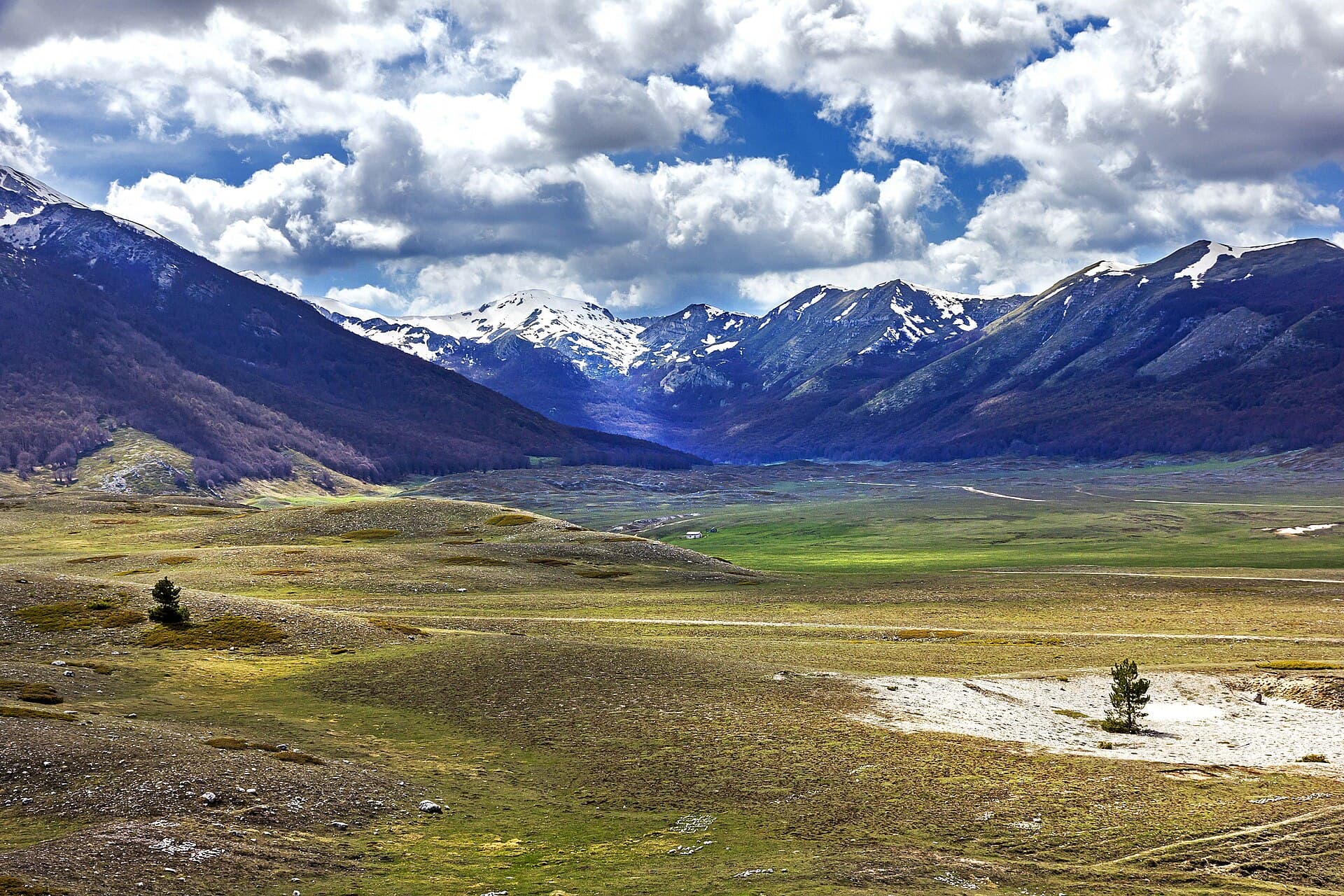
Late spring through early autumn offers the most reliable conditions for walking. Snow lingers on north-facing slopes into June, while July and August bring warm days but occasional thunderstorms. September often provides the clearest visibility and fewer visitors. Winter transforms the mountain into a destination for ski touring and snowshoeing, though only experienced parties should attempt the summit in snow.
Nearby Attractions Worth Combining
Many visitors base themselves in the medieval hill towns of Santo Stefano di Sessanio or Castel del Monte, both short drives from the mountain. The Campo Felice plain to the north offers additional easy walks, while the ancient site of Amiternum near L’Aquila provides cultural contrast. The nearby Velino massif allows a natural extension for those seeking longer ridge walks across the park.