
Skip to content
Plan & Tour
DestinationsItinerariesTravel BlogAboutContact
0Sign inPlan a trip
Plan & TourPlan & Tour

Travel guides, destination inspiration and curated itineraries for Canada, the USA and beyond, plus a free tool to plan your own day-by-day trip.

Get travel inspiration

Explore

  • All Destinations
  • Curated Itineraries
  • Travel Blog
  • Plan a Trip

Topics

  • Hiking & Nature
  • Food & Drink
  • City Breaks
  • Budget Travel

Company

  • About Us
  • Contact
  • Privacy Policy
  • Terms of Service

© 2026 Plan & Tour. Built for travellers.

Discover the world, one trip at a time.

Thingdawl Te Tlang: Hiking the Remote Peaks of Belaichhari Upazila
  1. Home
  2. Destinations
  3. Belaichhari Upazila
  4. Thingdawl Te Tlang: Hiking the Remote Peaks of Belaichhari Upazila
Mountain

Thingdawl Te Tlang: Hiking the Remote Peaks of Belaichhari Upazila

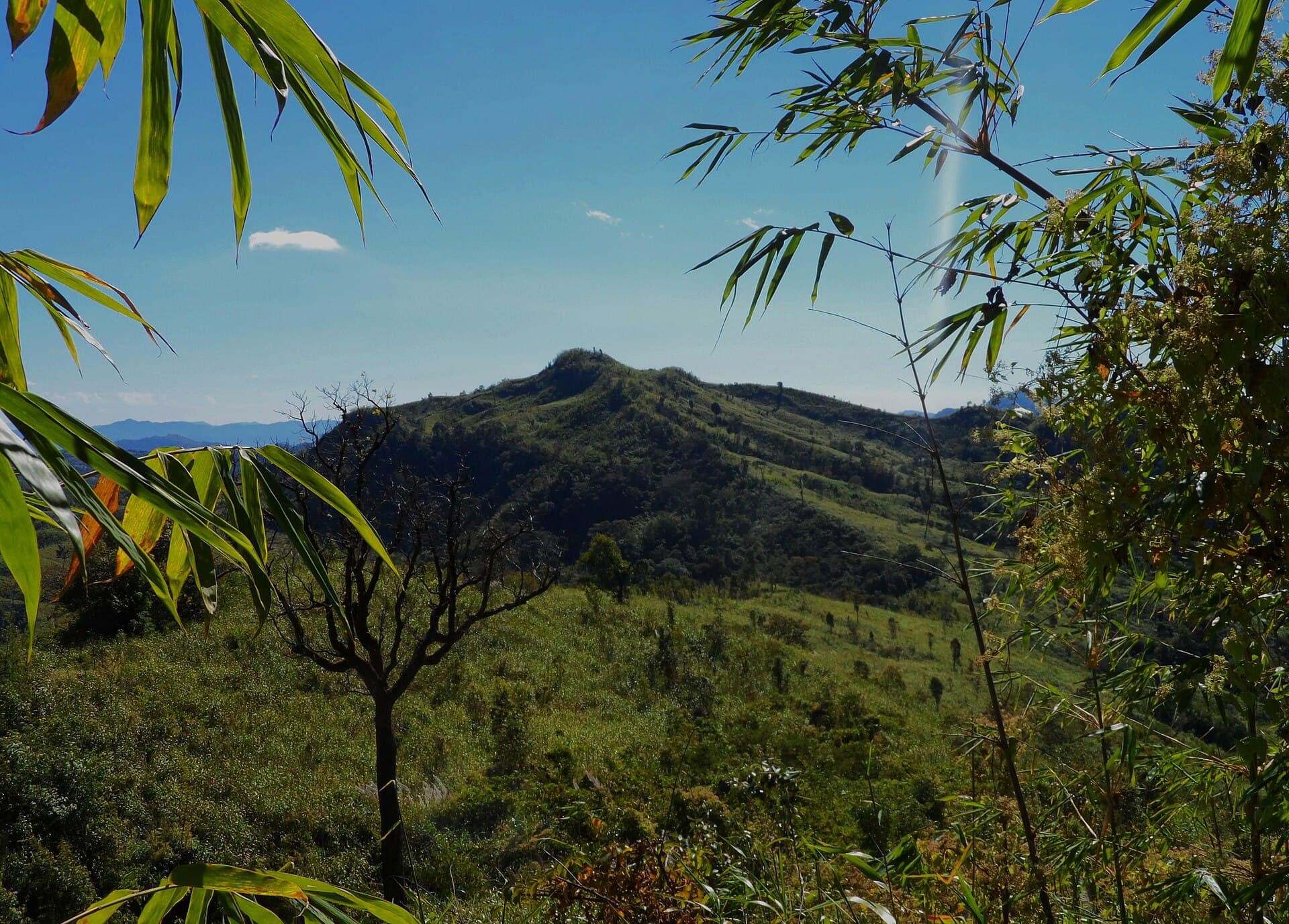
Discover panoramic hill views, indigenous communities, and quiet trails in this corner of Bangladesh’s Chittagong Hill Tracts.

Belaichhari UpazilaUpdated 24 September 2026

Why Visit Thingdawl Te Tlang

Thingdawl Te Tlang rises above the forested ridges of Belaichhari Upazila, offering visitors a chance to experience the quieter side of the Chittagong Hill Tracts. The mountain rewards hikers with sweeping views across layered green hills that stretch toward the horizon, especially clear after the monsoon season. Its slopes support dense stands of bamboo and mixed broadleaf forest that shelter birds and small mammals rarely seen in more developed tourist areas.

Getting There

Most travelers begin in Dhaka or Chattogram and travel by road to Rangamati, then continue by local bus or hired vehicle to Belaichhari Upazila headquarters. From there, arrange a four-wheel-drive jeep or motorcycle with a local driver for the final stretch of unpaved road that climbs toward the mountain’s lower slopes. The journey involves several river crossings by ferry or small boat, so allow a full day from Rangamati. Foreign visitors should obtain the required travel permit for the Hill Tracts before leaving Rangamati.

Best Time to Visit

The dry months from November through March bring the clearest skies and safest trail conditions. April and May can be hot and hazy, while the June-to-October monsoon turns paths muddy and increases landslide risk. Early winter offers comfortable daytime temperatures and the chance to see local orange harvests in the valleys below.

What to See and Do

Moderate hiking trails lead through bamboo groves and past small hamlets of the Chakma and Marma communities. Carry binoculars for hornbills and other forest birds. At the summit area, clearings provide unobstructed vistas of the surrounding ridges and distant water bodies. Many visitors combine the hike with a stop at nearby village markets to learn about traditional weaving and bamboo crafts. Respect local customs by asking permission before photographing people or entering homes.

Nearby Attractions

  • Belaichhari Lake offers calm boat rides and fishing villages a short drive from the mountain base.
  • Kaptai Lake’s northern arms lie within a day’s travel and feature dramatic cliffs at dawn.
  • Small Buddhist temples and pagodas dot the ridges, reflecting the region’s cultural heritage.

Stay in simple guesthouses or homestays in Belaichhari and hire local guides who know the safest routes and can share stories of the landscape.

Visitor tips

  • Hire a local guide from Belaichhari rather than attempting unmarked trails alone; paths can be faint and weather changes quickly.
  • Pack layers, rain protection, and enough water and snacks, as there are no facilities on the upper slopes.
  • Carry a printed copy of your Hill Tracts permit and passport, and inform your accommodation of your planned return time.

Frequently asked questions

Do I need a permit to visit Thingdawl Te Tlang?+

Foreign travelers require a special permit for the Chittagong Hill Tracts; obtain it in Rangamati before heading to Belaichhari.

How difficult is the hike up Thingdawl Te Tlang?+

The route is moderately strenuous with some steep sections; most fit hikers complete the main trail in four to six hours round-trip.

Are there places to stay near the mountain?+

Basic guesthouses and homestays operate in Belaichhari Upazila; advance booking is recommended during the dry season.

What should I wear for the hike?+

Lightweight long sleeves and trousers protect against sun and insects; sturdy walking shoes with good grip are essential on rocky and muddy sections.

Is mobile phone coverage available on the mountain?+

Signal is intermittent or absent on the upper slopes; arrange check-in times with your guide or guesthouse before departing.

Share
Google Maps Apple Maps Directions

Image: Fahimhasan · CC BY-SA 3.0 · via Wikimedia Commons

Keep reading

Nearby & related
All stories
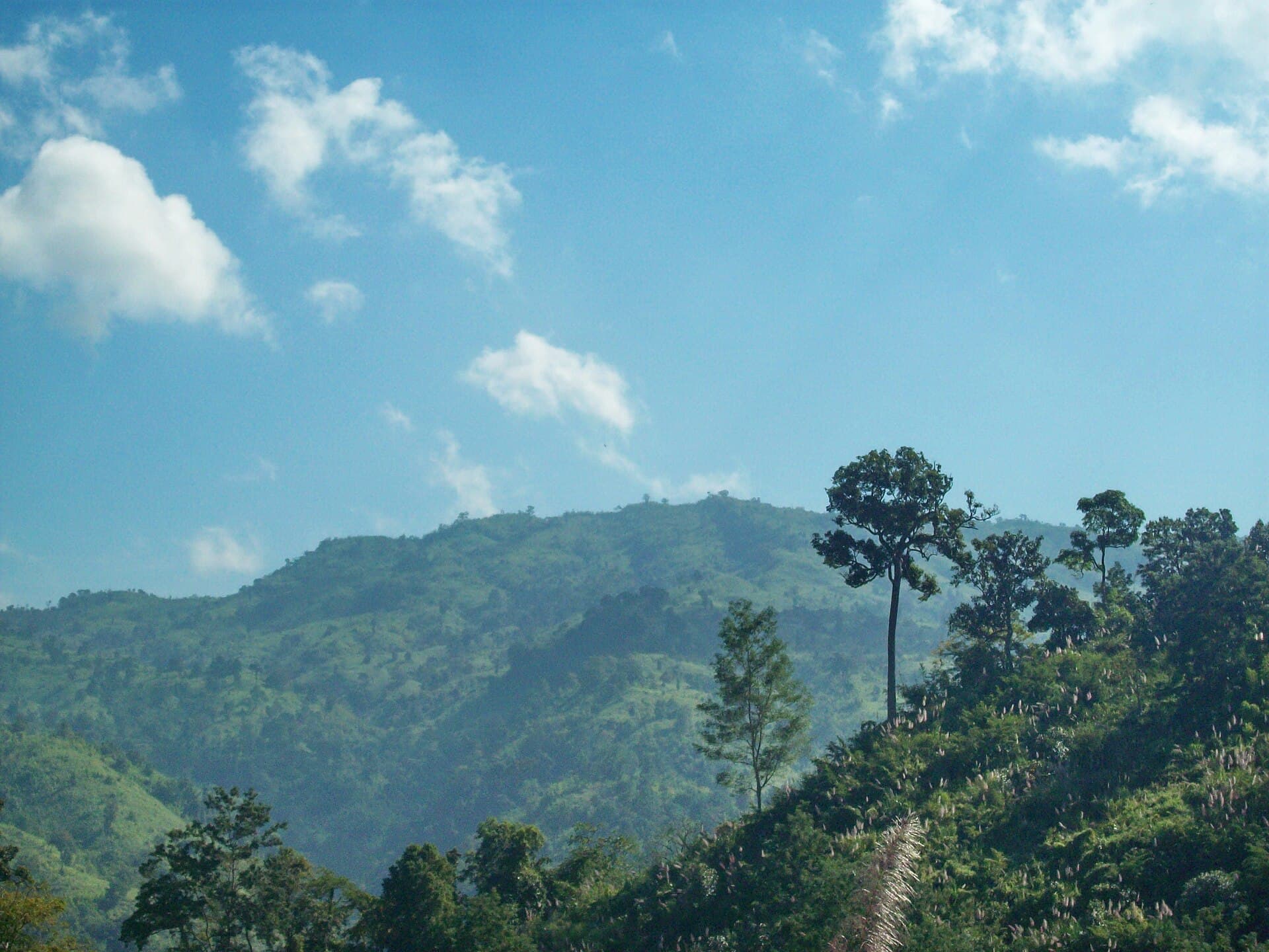
Maithai Jama Haphong: Trekking Bangladesh’s Remote Mountain Summit
Belaichhari Upazila

Maithai Jama Haphong: Trekking Bangladesh’s Remote Mountain Summit

A practical guide to reaching and exploring the quiet trails of Maithai Jama Haphong in the Chittagong Hill Tracts.

24 September 2026
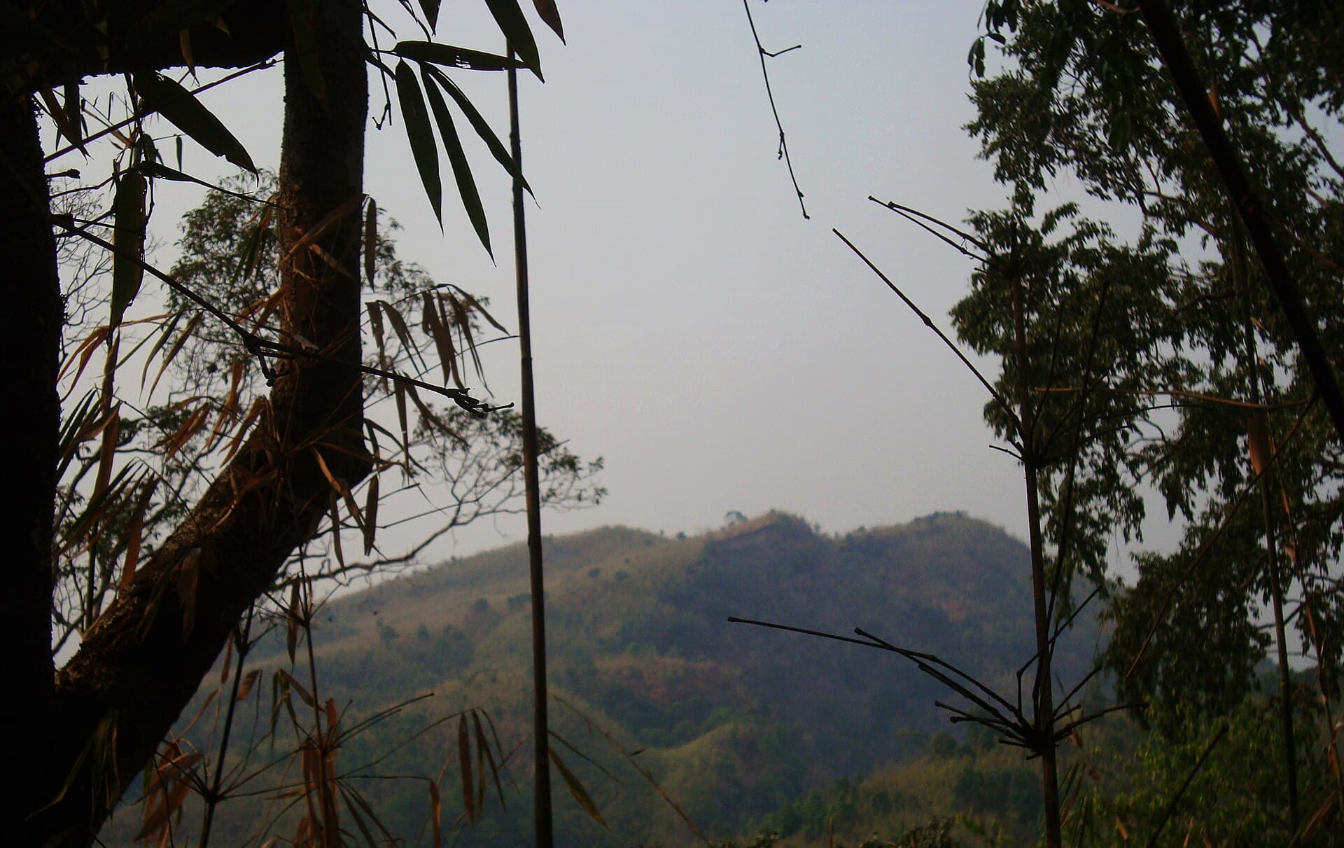
Mukhra Thuthai Haphong: Trekking Remote Peaks in Bangladesh’s Chittagong Hill Tracts
Belaichhari Upazila

Mukhra Thuthai Haphong: Trekking Remote Peaks in Bangladesh’s Chittagong Hill Tracts

A guide to reaching and exploring this striking mountain summit in Belaichhari Upazila for hikers seeking untouched…

24 September 2026
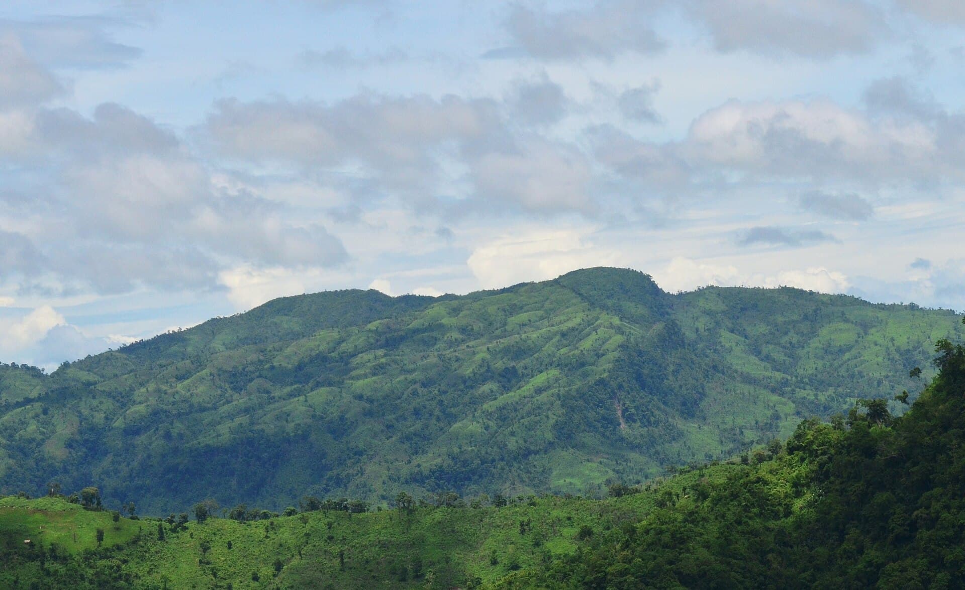
Dumlong Mountain: Trekking Bangladesh’s Remote Peak in the Chittagong Hill Tracts
Belaichhari Upazila

Dumlong Mountain: Trekking Bangladesh’s Remote Peak in the Chittagong Hill Tracts

Ascend Dumlong for sweeping hill views, quiet forests, and encounters with indigenous communities in Belaichhari…

24 September 2026