Skip to content
Plan & Tour
DestinationsItinerariesTravel BlogAboutContact
0Sign inPlan a trip
Plan & TourPlan & Tour

Travel guides, destination inspiration and curated itineraries for Canada, the USA and beyond, plus a free tool to plan your own day-by-day trip.

Get travel inspiration

Explore

  • All Destinations
  • Curated Itineraries
  • Travel Blog
  • Plan a Trip

Topics

  • Hiking & Nature
  • Food & Drink
  • City Breaks
  • Budget Travel

Company

  • About Us
  • Contact
  • Privacy Policy
  • Terms of Service

© 2026 Plan & Tour. Built for travellers.

Discover the world, one trip at a time.

Mukhra Thuthai Haphong: Trekking Remote Peaks in Bangladesh’s Chittagong Hill Tracts
  1. Home
  2. Destinations
  3. Belaichhari Upazila
  4. Mukhra Thuthai Haphong: Trekking Remote Peaks in Bangladesh’s Chittagong Hill Tracts
Mountain

Mukhra Thuthai Haphong: Trekking Remote Peaks in Bangladesh’s Chittagong Hill Tracts

A guide to reaching and exploring this striking mountain summit in Belaichhari Upazila for hikers seeking untouched landscapes and indigenous culture.

Belaichhari UpazilaUpdated 24 September 2026

Why Mukhra Thuthai Haphong Stands Out

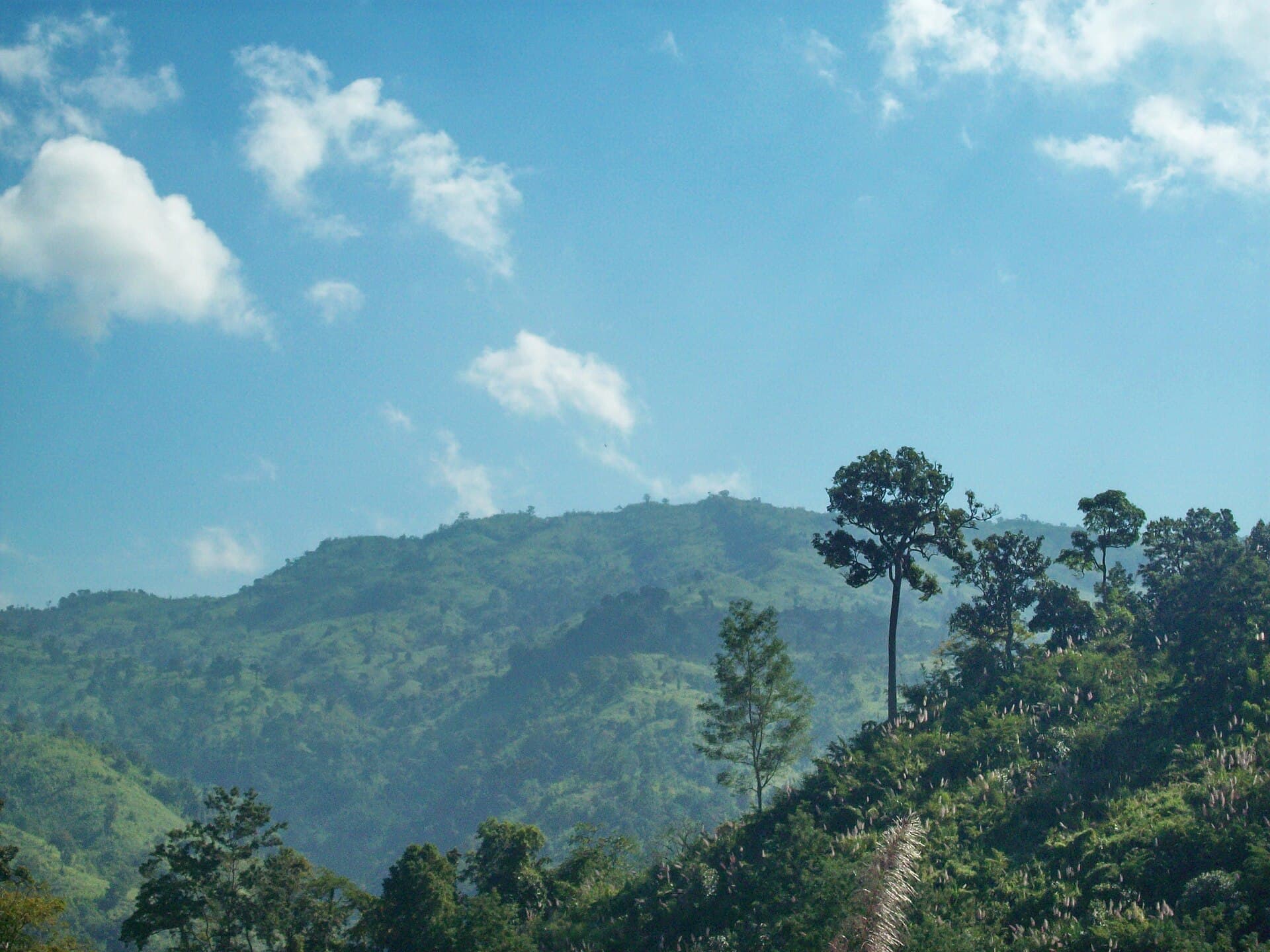
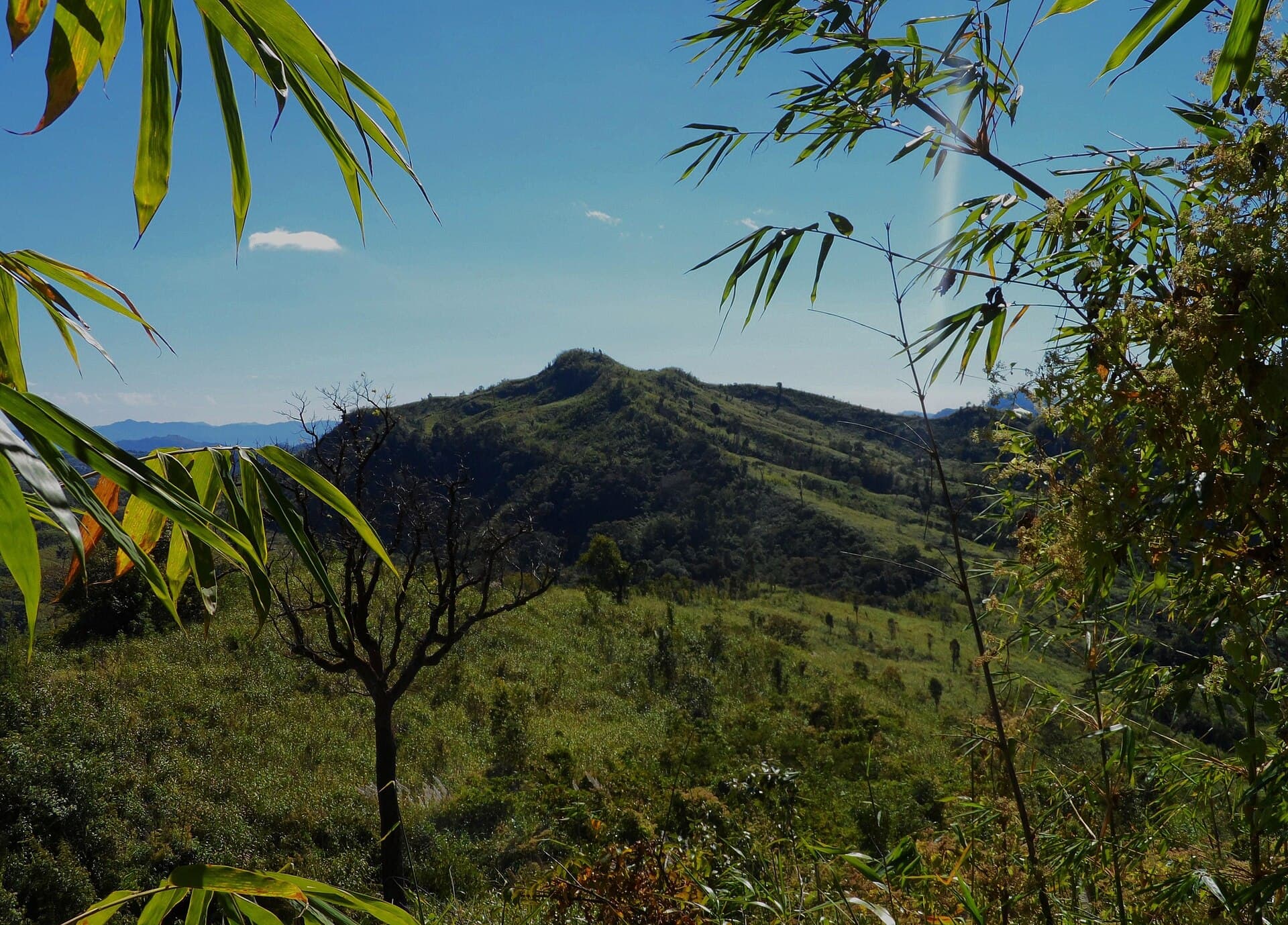
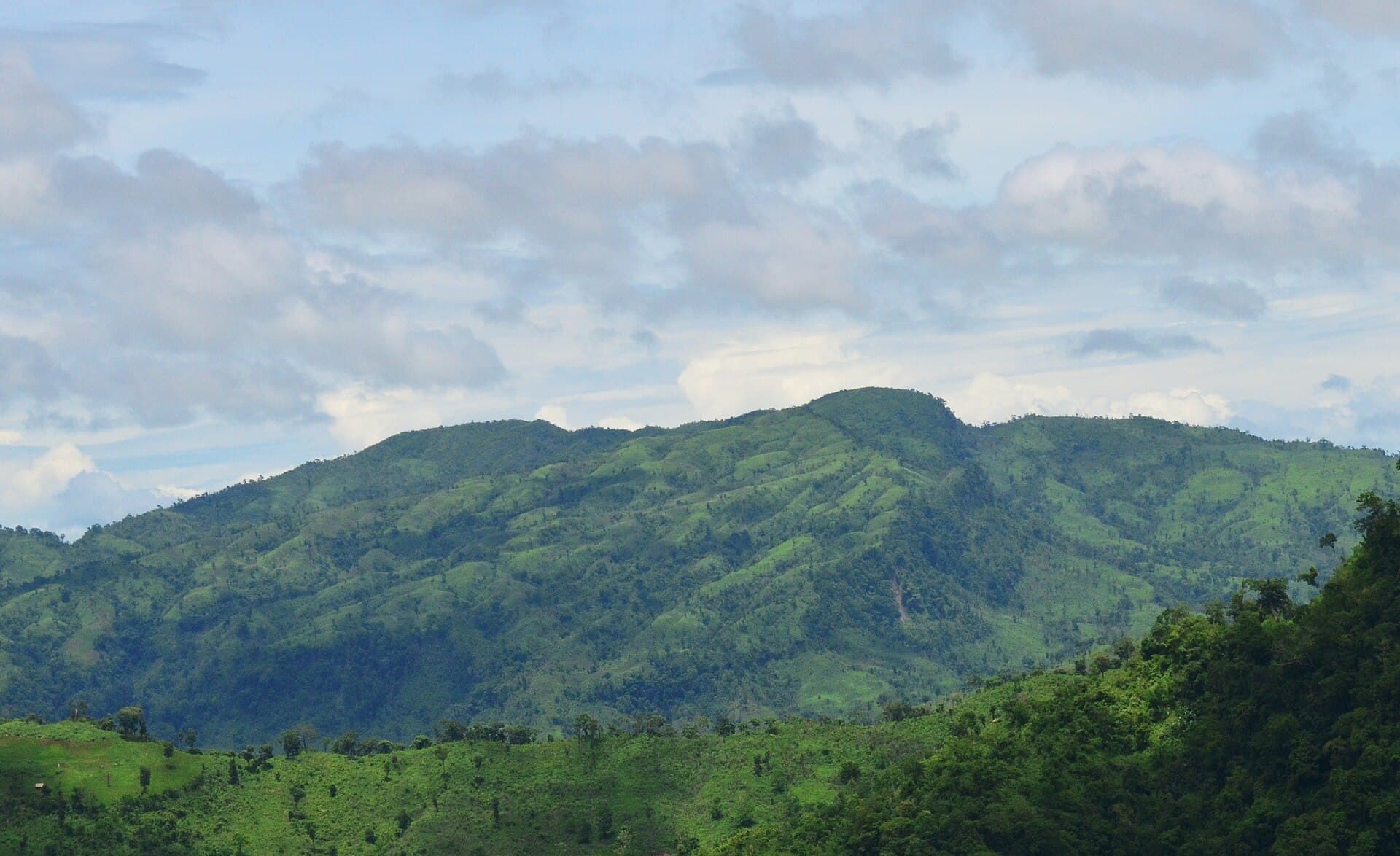
At roughly 900 meters, Mukhra Thuthai Haphong rises above the forested ridges of Belaichhari Upazila in the Chittagong Hill Tracts. Its slopes support dense bamboo groves, orchids, and wildlife including barking deer and hornbills, while the summit offers sweeping views across the Karnafuli river valley. The mountain remains lightly visited, preserving a sense of wilderness rare in more developed parts of Bangladesh.

How to Reach the Trailhead

Most visitors start from Rangamati town. Public launches or rented speedboats travel up the Karnafuli to Belaichhari Bazar, a journey of three to five hours depending on water level. From the bazar, local jeeps or motorbikes cover the remaining 12 km of unpaved road to the village of Thuthai Para. Trekkers then follow a marked footpath that climbs steadily through shifting cultivation plots and secondary forest; the ascent to the summit usually takes four to six hours with a local guide.

Best Time to Visit

November through February offers the clearest skies and firmest trails. March and April bring pre-monsoon heat and occasional haze, while June to September sees heavy rain that turns paths into slippery mud and raises river levels, complicating boat access.

Activities on and Around the Mountain

  • Day hikes to the summit for sunrise or sunset views.
  • Short village walks to observe traditional Jum cultivation and meet Chakma and Marma families.
  • Birdwatching along the lower slopes where mixed flocks of minivets, drongos, and woodpeckers are common.
  • Photography of terraced hillsides and distant blue ridges.

Nearby Places Worth Combining

After descending, travelers often continue by boat to Kaptai Lake for a half-day on the water or to the smaller but equally scenic hills around Bilaichhari. Some extend the trip northward to Sajek Valley for multi-day ridge walking.

Practical Considerations

Carry sufficient water and food, as no facilities exist above the last village. Mobile coverage fades quickly once the trail leaves Thuthai Para, so inform someone of your route. Hiring a guide from the local community not only improves safety but also supports village economies.

Visitor tips

  • Hire a local guide from Thuthai Para for both navigation and cultural insight; trails are faint and unmarked above the village.
  • Pack lightweight rain protection and sturdy footwear even in the dry season, as sudden showers occur on the ridges.
  • Respect local customs by asking permission before photographing people or entering homesteads, and avoid disturbing shifting-cultivation fields.

Frequently asked questions

How difficult is the hike to the summit of Mukhra Thuthai Haphong?+

The route is strenuous due to elevation gain and uneven terrain but does not require technical climbing; fit hikers with a guide complete it in a long day.

Are permits required to visit Belaichhari Upazila?+

Foreign visitors need a permit from the Rangamati district administration; domestic travelers should carry identification and check current access rules before departure.

Where can I stay near Mukhra Thuthai Haphong?+

Basic guesthouses and homestays exist in Belaichhari Bazar and a few larger villages; camping on the mountain is possible with a guide but requires self-sufficiency.

What wildlife might I see on the mountain?+

Barking deer, squirrels, and a variety of forest birds are regularly spotted; larger mammals such as wild boar or monkeys are possible but less common during daylight hours.

Is mobile phone coverage available on the trail?+

Signals drop out shortly after leaving Thuthai Para; plan accordingly and inform a contact of your expected return time.

Share
Google Maps Apple Maps Directions

Image: Fahimhasan · CC BY-SA 3.0 · via Wikimedia Commons

Keep reading

Nearby & related

All stories
Maithai Jama Haphong: Trekking Bangladesh’s Remote Mountain Summit
Belaichhari Upazila

Maithai Jama Haphong: Trekking Bangladesh’s Remote Mountain Summit

A practical guide to reaching and exploring the quiet trails of Maithai Jama Haphong in the Chittagong Hill Tracts.

24 September 2026
Thingdawl Te Tlang: Hiking the Remote Peaks of Belaichhari Upazila
Belaichhari Upazila

Thingdawl Te Tlang: Hiking the Remote Peaks of Belaichhari Upazila

Discover panoramic hill views, indigenous communities, and quiet trails in this corner of Bangladesh’s Chittagong Hill…

24 September 2026
Dumlong Mountain: Trekking Bangladesh’s Remote Peak in the Chittagong Hill Tracts
Belaichhari Upazila

Dumlong Mountain: Trekking Bangladesh’s Remote Peak in the Chittagong Hill Tracts

Ascend Dumlong for sweeping hill views, quiet forests, and encounters with indigenous communities in Belaichhari…

24 September 2026