Skip to content
Plan & Tour
DestinationsItinerariesTravel BlogAboutContact
0Sign inPlan a trip
Plan & TourPlan & Tour

Travel guides, destination inspiration and curated itineraries for Canada, the USA and beyond, plus a free tool to plan your own day-by-day trip.

Get travel inspiration

Explore

  • All Destinations
  • Curated Itineraries
  • Travel Blog
  • Plan a Trip

Topics

  • Hiking & Nature
  • Food & Drink
  • City Breaks
  • Budget Travel

Company

  • About Us
  • Contact
  • Privacy Policy
  • Terms of Service

© 2026 Plan & Tour. Built for travellers.

Discover the world, one trip at a time.

Maithai Jama Haphong: Trekking Bangladesh’s Remote Mountain Summit
  1. Home
  2. Destinations
  3. Belaichhari Upazila
  4. Maithai Jama Haphong: Trekking Bangladesh’s Remote Mountain Summit
Mountain

Maithai Jama Haphong: Trekking Bangladesh’s Remote Mountain Summit

A practical guide to reaching and exploring the quiet trails of Maithai Jama Haphong in the Chittagong Hill Tracts.

Belaichhari UpazilaUpdated 24 September 2026

Why Visit Maithai Jama Haphong

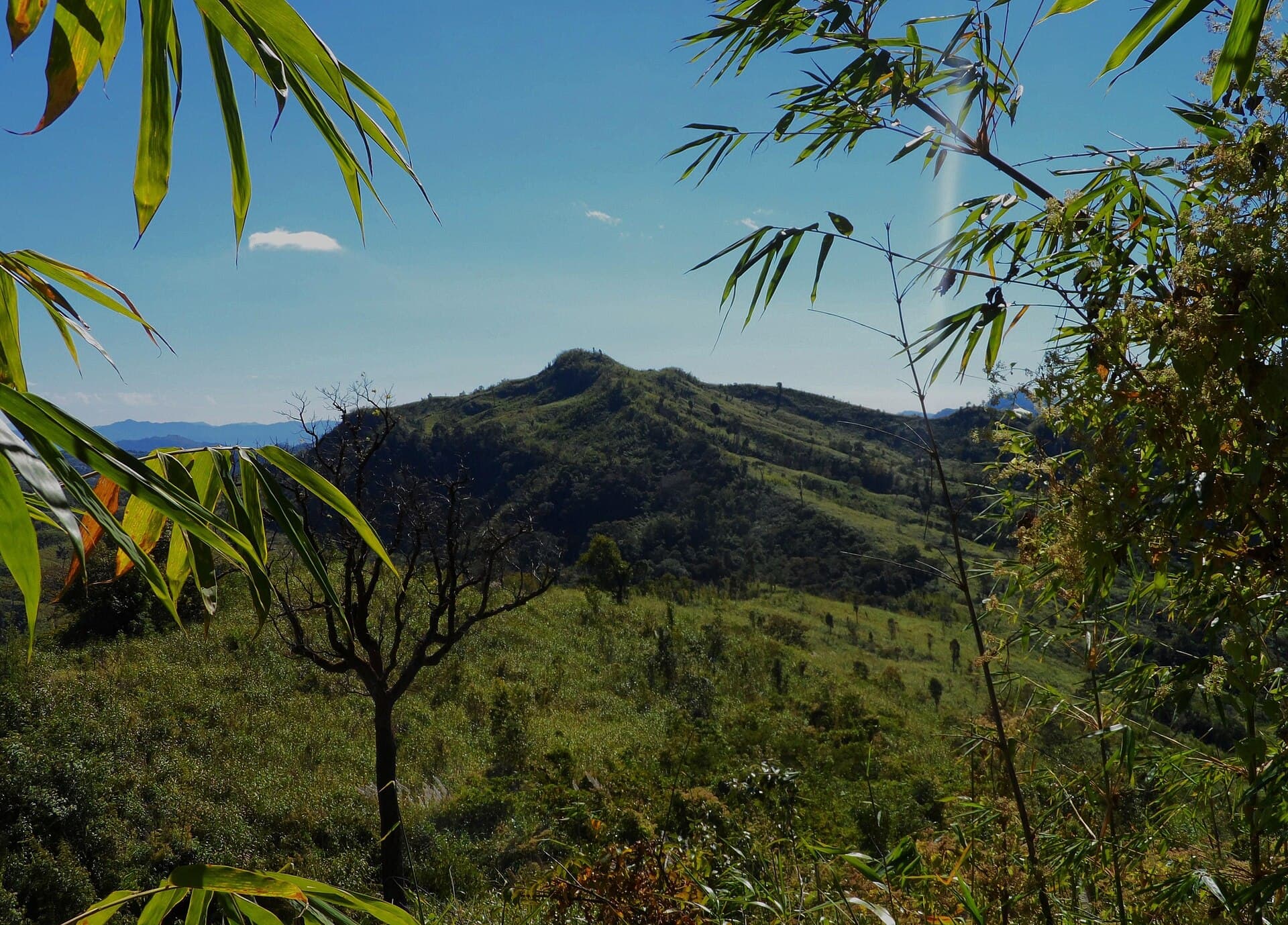
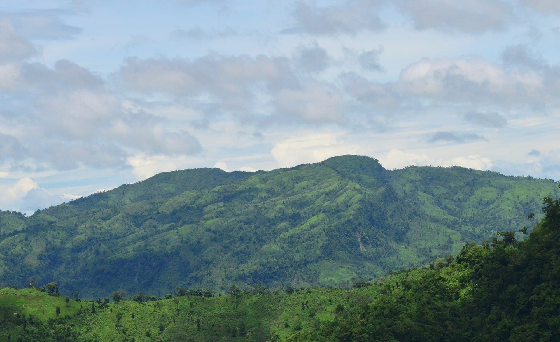
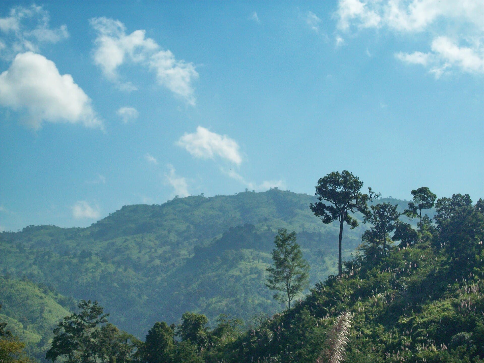
Maithai Jama Haphong rises above the forests of Belaichhari Upazila as one of the quieter high points in Bangladesh’s Chittagong Hill Tracts. Trekkers come for the sense of isolation, the changing light on distant ridges, and the chance to walk through mixed evergreen and bamboo forest without crowds. The summit offers sweeping views across the Karnaphuli catchment and neighboring hills, especially clear after the monsoon.

How to Get There

Most visitors begin in Rangamati town. From there, travel by boat or road to Belaichhari Upazila headquarters, then continue by local transport or arranged jeep to the trailhead villages. The final approach is on foot; the route follows established paths used by local communities. Because the area lies within a restricted zone, travelers must arrange the required travel permit in advance through the district administration or a licensed tour operator.

Best Time to Visit

The most comfortable window runs from November to February, when temperatures are moderate and rainfall is lowest. March and April bring hotter days and the risk of early thunderstorms. The June-to-September monsoon turns paths muddy and increases the chance of landslides, so only experienced hikers with local support should attempt the mountain then.

Trails and What to Expect

The main route climbs steadily through bamboo groves and secondary forest before reaching more open slopes near the top. The walk is moderate to strenuous depending on starting elevation and fitness; allow a full day for the round trip from the usual trailhead. Carry plenty of water, as natural sources are seasonal. Birdlife includes hornbills and barbets; butterflies are abundant on sunny stretches. Overnight camping is possible only with permission from the nearest village head.

Nearby Places Worth Combining

After descending, many travelers continue to the Karnaphuli Lake shoreline or visit smaller villages along the Kaptai reservoir for a broader look at life in the hill tracts. These stops require the same permit but add cultural context to the mountain trek.

Visitor tips

  • Arrange the mandatory travel permit before leaving Rangamati; do not rely on last-minute approvals at checkpoints.
  • Hire a local guide from the nearest village; paths are faint in places and navigation improves safety.
  • Pack layered clothing and rain protection even in the dry season; weather changes quickly at elevation.

Frequently asked questions

How difficult is the trek to Maithai Jama Haphong?+

The route is a steady climb on forest paths with some steep sections. Most fit walkers complete the round trip in one long day; beginners should allow extra time or split the journey.

Do I need a guide?+

A local guide is strongly recommended for navigation, cultural etiquette, and emergency support in this remote area.

Is camping allowed on the mountain?+

Overnight stays are possible only with prior consent from the nearest village; wild camping without permission is discouraged.

What should I bring for a day hike?+

Carry more water than you think you need, a basic first-aid kit, a headlamp, and a rain shell. Mobile coverage is unreliable above the tree line.

Are there any restrictions for foreign visitors?+

Foreigners must obtain a travel permit for the Chittagong Hill Tracts in advance and travel with approved accompaniment; check current rules with the district office before departure.

Share
Google Maps Apple Maps Directions

Image: Fahimhasan · CC BY-SA 4.0 · via Wikimedia Commons

Keep reading

Nearby & related

All stories
Mukhra Thuthai Haphong: Trekking Remote Peaks in Bangladesh’s Chittagong Hill Tracts
Belaichhari Upazila

Mukhra Thuthai Haphong: Trekking Remote Peaks in Bangladesh’s Chittagong Hill Tracts

A guide to reaching and exploring this striking mountain summit in Belaichhari Upazila for hikers seeking untouched…

24 September 2026
Thingdawl Te Tlang: Hiking the Remote Peaks of Belaichhari Upazila
Belaichhari Upazila

Thingdawl Te Tlang: Hiking the Remote Peaks of Belaichhari Upazila

Discover panoramic hill views, indigenous communities, and quiet trails in this corner of Bangladesh’s Chittagong Hill…

24 September 2026
Dumlong Mountain: Trekking Bangladesh’s Remote Peak in the Chittagong Hill Tracts
Belaichhari Upazila

Dumlong Mountain: Trekking Bangladesh’s Remote Peak in the Chittagong Hill Tracts

Ascend Dumlong for sweeping hill views, quiet forests, and encounters with indigenous communities in Belaichhari…

24 September 2026