Skip to content
Plan & Tour
DestinationsItinerariesTravel BlogAboutContact
0Sign inPlan a trip
Plan & TourPlan & Tour

Travel guides, destination inspiration and curated itineraries for Canada, the USA and beyond, plus a free tool to plan your own day-by-day trip.

Get travel inspiration

Explore

  • All Destinations
  • Curated Itineraries
  • Travel Blog
  • Plan a Trip

Topics

  • Hiking & Nature
  • Food & Drink
  • City Breaks
  • Budget Travel

Company

  • About Us
  • Contact
  • Privacy Policy
  • Terms of Service

© 2026 Plan & Tour. Built for travellers.

Discover the world, one trip at a time.

Dumlong Mountain: Trekking Bangladesh’s Remote Peak in the Chittagong Hill Tracts
  1. Home
  2. Destinations
  3. Belaichhari Upazila
  4. Dumlong Mountain: Trekking Bangladesh’s Remote Peak in the Chittagong Hill Tracts
Mountain

Dumlong Mountain: Trekking Bangladesh’s Remote Peak in the Chittagong Hill Tracts

Ascend Dumlong for sweeping hill views, quiet forests, and encounters with indigenous communities in Belaichhari Upazila.

Belaichhari UpazilaUpdated 24 September 2026

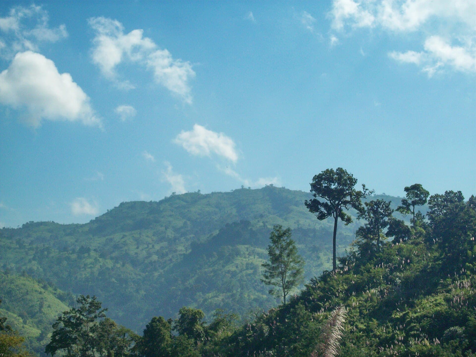
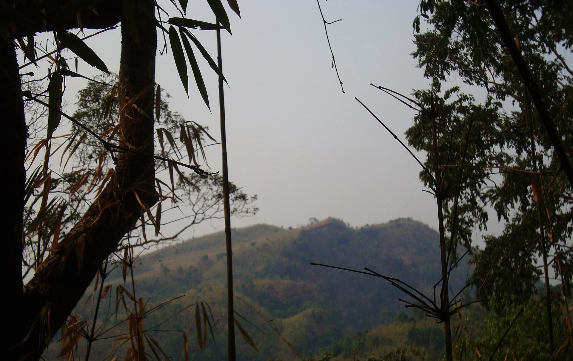
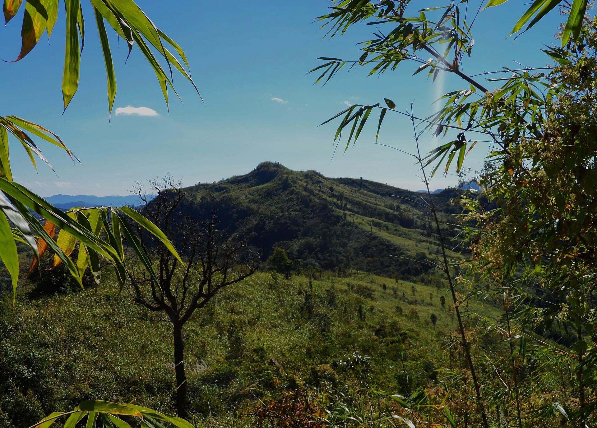
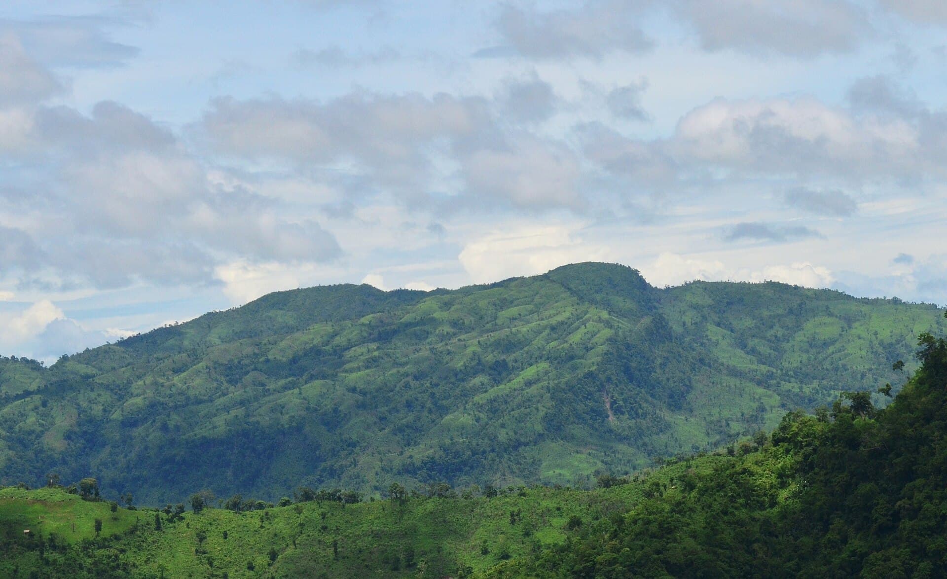
Dumlong rises as a standout summit within the forested ridges of Belaichhari Upazila, offering visitors a chance to experience the quieter side of Bangladesh’s Chittagong Hill Tracts. The mountain’s slopes support dense bamboo groves and mixed deciduous forest that shelter hornbills, monkeys, and countless smaller birds, while its summit delivers clear sightlines across layered green valleys on clear days.

Why Visit Dumlong

Unlike more developed tourist spots, Dumlong rewards travelers who seek genuine immersion rather than facilities. The climb passes through Chakma and other indigenous hamlets where traditional houses sit on stilts and shifting cultivation patches dot the hillsides. The route itself reveals terraced fields, small streams, and occasional rock outcrops that frame the surrounding ridges.

How to Reach Dumlong

Most visitors begin in Rangamati town, reachable by bus or private car from Chittagong or Dhaka. From Rangamati, local jeeps or boats travel to Belaichhari Upazila headquarters. Beyond that point, the final approach requires a multi-hour trek on footpaths; hiring a local guide at Belaichhari ensures safe passage and respectful entry into village areas.

Best Time to Visit

The dry season from November through February brings the most reliable weather for trekking. Trails remain firm, streams are crossable, and daytime temperatures stay comfortable. The monsoon months bring heavy rain that turns paths slippery and raises the risk of landslides, so those periods are best avoided.

What to Do on the Mountain

  • Start early for the full-day hike to the summit and back, allowing time to rest at viewpoints.
  • Observe village life respectfully, asking permission before photographing people or homes.
  • Listen for gibbons and birds at dawn and dusk along the lower slopes.
  • Carry binoculars for distant ridge views that stretch toward the border hills.

Nearby Places Worth Exploring

After descending, travelers often continue to Kaptai Lake for boat rides or visit other upazila trails that link smaller peaks. These extensions let visitors compare the vegetation and settlement patterns across the wider hill tract region without returning to Rangamati each night.

Visitor tips

  • Hire a local guide from Belaichhari to navigate trails and introduce village etiquette.
  • Pack lightweight rain gear and extra water even in the dry season, as sources are limited on the upper slopes.
  • Dress modestly and learn basic greetings in the local language to show respect when passing through hamlets.

Frequently asked questions

How difficult is the trek to Dumlong summit?+

The route is a steady uphill walk on earthen paths with some steep sections; most fit hikers complete it in a full day with a guide.

Do I need special permits to visit Dumlong?+

Foreign visitors should carry their passport and check current military zone requirements at the Rangamati district office before traveling onward to Belaichhari.

Are there places to stay near Dumlong?+

Basic guesthouses and homestays exist in Belaichhari; most trekkers return to Rangamati for more established lodging after the hike.

What wildlife might I see around Dumlong?+

Expect to hear gibbons and see hornbills, monkeys, and diverse forest birds, especially early in the morning along the lower slopes.

Is mobile phone coverage available on the mountain?+

Signal is patchy above the tree line; inform someone of your planned route and expected return time before setting out.

Share
Google Maps Apple Maps Directions

Image: Fahimhasan · CC BY-SA 3.0 · via Wikimedia Commons

Keep reading

Nearby & related

All stories
Maithai Jama Haphong: Trekking Bangladesh’s Remote Mountain Summit
Belaichhari Upazila

Maithai Jama Haphong: Trekking Bangladesh’s Remote Mountain Summit

A practical guide to reaching and exploring the quiet trails of Maithai Jama Haphong in the Chittagong Hill Tracts.

24 September 2026
Mukhra Thuthai Haphong: Trekking Remote Peaks in Bangladesh’s Chittagong Hill Tracts
Belaichhari Upazila

Mukhra Thuthai Haphong: Trekking Remote Peaks in Bangladesh’s Chittagong Hill Tracts

A guide to reaching and exploring this striking mountain summit in Belaichhari Upazila for hikers seeking untouched…

24 September 2026
Thingdawl Te Tlang: Hiking the Remote Peaks of Belaichhari Upazila
Belaichhari Upazila

Thingdawl Te Tlang: Hiking the Remote Peaks of Belaichhari Upazila

Discover panoramic hill views, indigenous communities, and quiet trails in this corner of Bangladesh’s Chittagong Hill…

24 September 2026