Discovering the Silala River
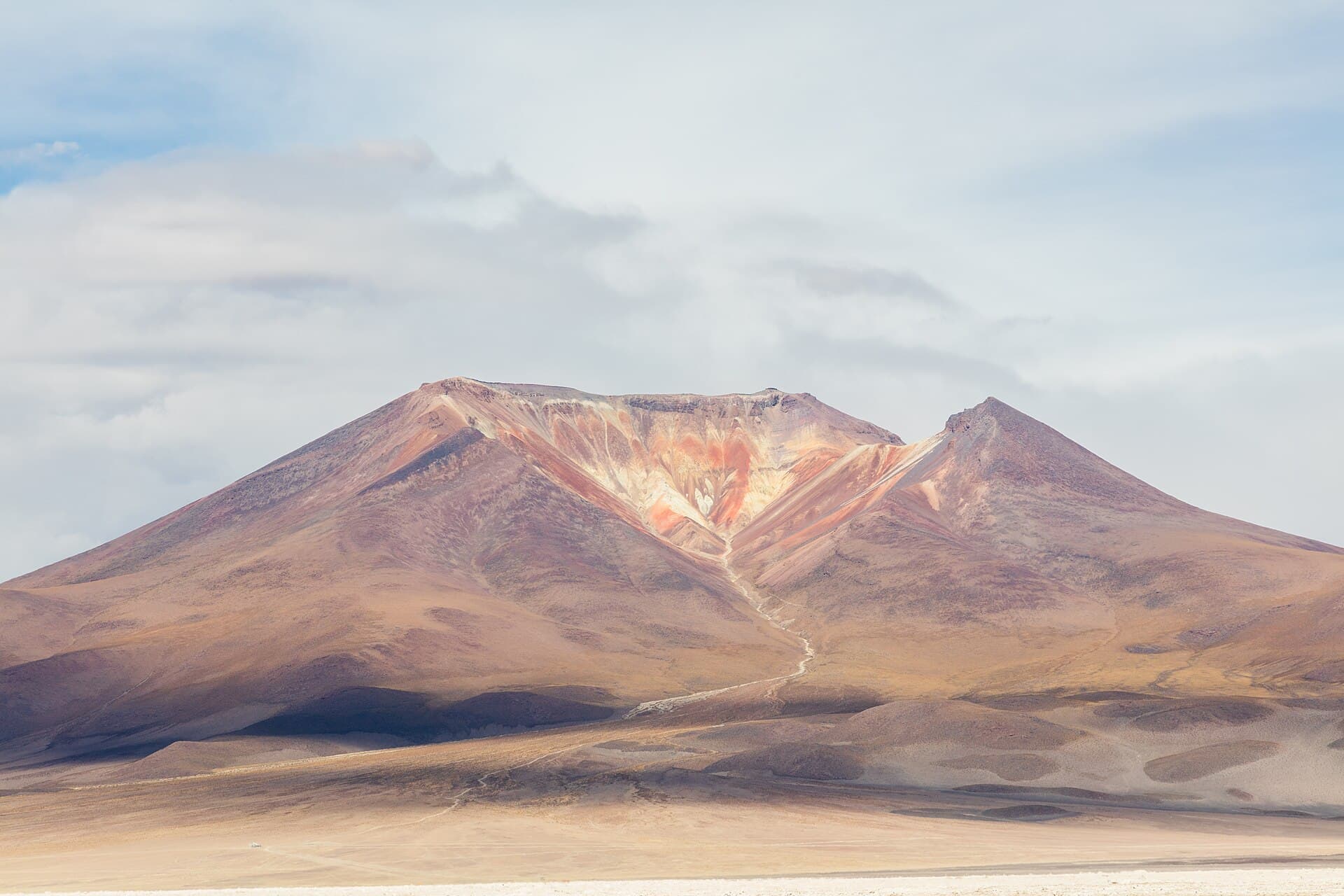
The Silala River begins as a collection of clear springs in Bolivia’s Potosí Department at roughly 4,000 meters elevation. These headwaters emerge from volcanic slopes and form narrow channels that wind through arid altiplano terrain before crossing into Chile. The surrounding landscape features dramatic volcanic peaks, sparse ichu grass, and seasonal bofedales wetlands that support hardy wildlife including flamingos, vicuñas, and Andean foxes.
What to See and Do
Visitors hike short trails along the river’s upper course to view the main spring outlets and the contrast between the green riparian strip and surrounding desert. Photographers capture the river’s turquoise pools against red volcanic rock, while birdwatchers scan for highland species. The area offers quiet camping spots with expansive night skies, though strong winds require sturdy tents.
Getting There
Access starts from Uyuni or the village of San Antonio de Lípez. A 4×4 vehicle with local driver is essential; the final 30 kilometers follow rough tracks across salt flats and gravel plains. No public transport reaches the river directly, and permits from local communities are often required.
Best Time to Visit
The dry season from May to October brings stable weather and passable roads. Summer rains from December to March can flood tracks and obscure springs, making travel hazardous. Early morning visits provide the clearest views before afternoon winds pick up.
Nearby Attractions
Combine a Silala trip with the Uyuni Salt Flats to the north or the colorful Laguna Colorada to the east. The Eduardo Avaroa Andean Fauna National Reserve lies within a day’s drive and offers geysers and hot springs.