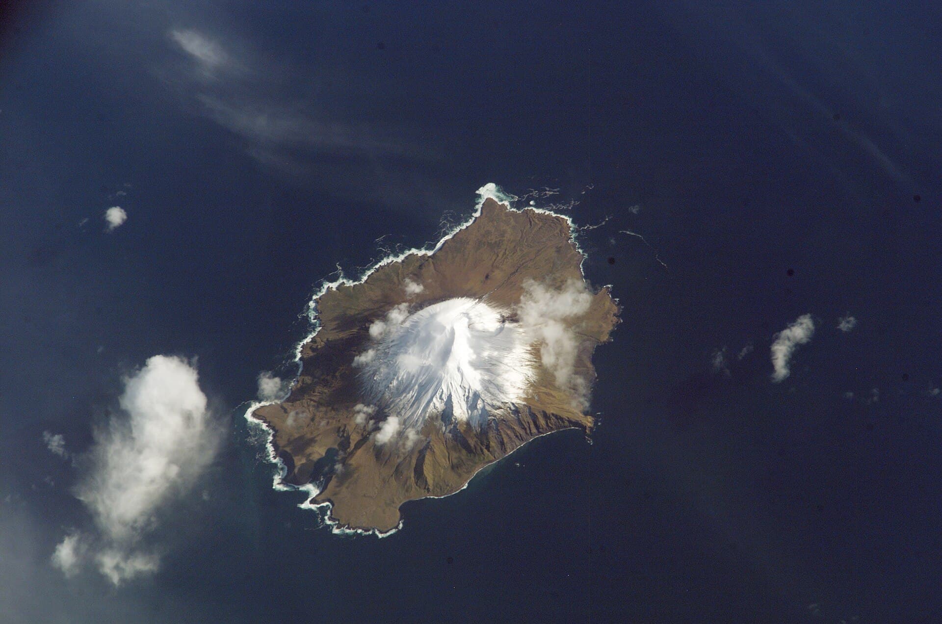
Why Segula Island Stands Apart
Segula Island rises as a steep stratovolcano in the Rat Islands group, its cone-shaped profile and sheer cliffs shaped by repeated eruptions and relentless North Pacific storms. The island’s isolation within the Alaska Maritime National Wildlife Refuge protects dense colonies of seabirds, sea otters, and harbor seals that thrive on its rocky shores and tundra slopes.
Getting There
Access begins with a flight to Adak, the nearest community with scheduled air service. From Adak, visitors arrange boat charters or floatplane flights across roughly 200 miles of open water. Landings occur only on sheltered beaches when weather permits; no docks or maintained trails exist.
Essential Preparation
- Travel only with experienced Aleutian guides who monitor marine forecasts and maintain emergency communication.
- Pack self-sufficient camping gear, including bear-resistant food storage and layers for sudden wind and rain.
- Confirm current refuge access rules with the U.S. Fish and Wildlife Service before departure.
What to See and Do
Hiking routes follow game trails to the crater rim and along coastal benches where puffins, murres, and kittiwakes nest in summer. Kayakers can circumnavigate the island on calm days, observing otters rafting near kelp beds. Photographers find dramatic compositions of volcanic rock against the endless horizon. Fishing for halibut and rockfish is possible from shore or small boats, subject to state regulations.
Best Time to Visit
July and August offer the longest daylight, mildest temperatures, and peak seabird activity. June and September remain viable but bring higher chances of fog and early snow on higher slopes. Winter travel is impractical due to storms and limited daylight.
Nearby Islands and Context
Segula lies west of Kiska Island and east of the larger Rat Island, all part of the same volcanic arc. Multi-island boat itineraries allow comparison of differing eruption histories and wildlife concentrations across the central Aleutians.