Skip to content
Plan & Tour
DestinationsItinerariesTravel BlogAboutContact
0Sign inPlan a trip
Plan & TourPlan & Tour

Travel guides, destination inspiration and curated itineraries for Canada, the USA and beyond, plus a free tool to plan your own day-by-day trip.

Get travel inspiration

Explore

  • All Destinations
  • Curated Itineraries
  • Travel Blog
  • Plan a Trip

Topics

  • Hiking & Nature
  • Food & Drink
  • City Breaks
  • Budget Travel

Company

  • About Us
  • Contact
  • Privacy Policy
  • Terms of Service

© 2026 Plan & Tour. Built for travellers.

Discover the world, one trip at a time.

Sairecabur: Climbing Bolivia’s Remote High-Andean Volcano
  1. Home
  2. Destinations
  3. Sur Lípez Province
  4. Sairecabur: Climbing Bolivia’s Remote High-Andean Volcano
Mountain

Sairecabur: Climbing Bolivia’s Remote High-Andean Volcano

Trek one of the Central Andes’ most accessible 5,900-meter peaks amid the stark altiplano of Sur Lípez.

Sur Lípez ProvinceUpdated 11 October 2026

Why Sairecabur Stands Out

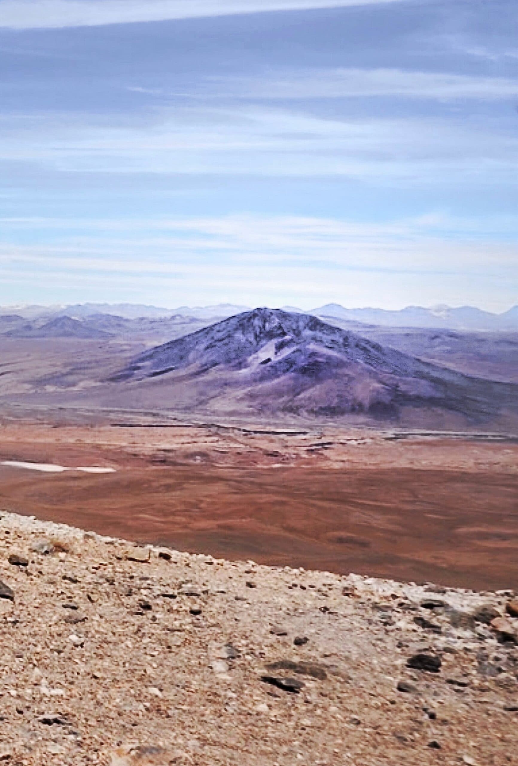
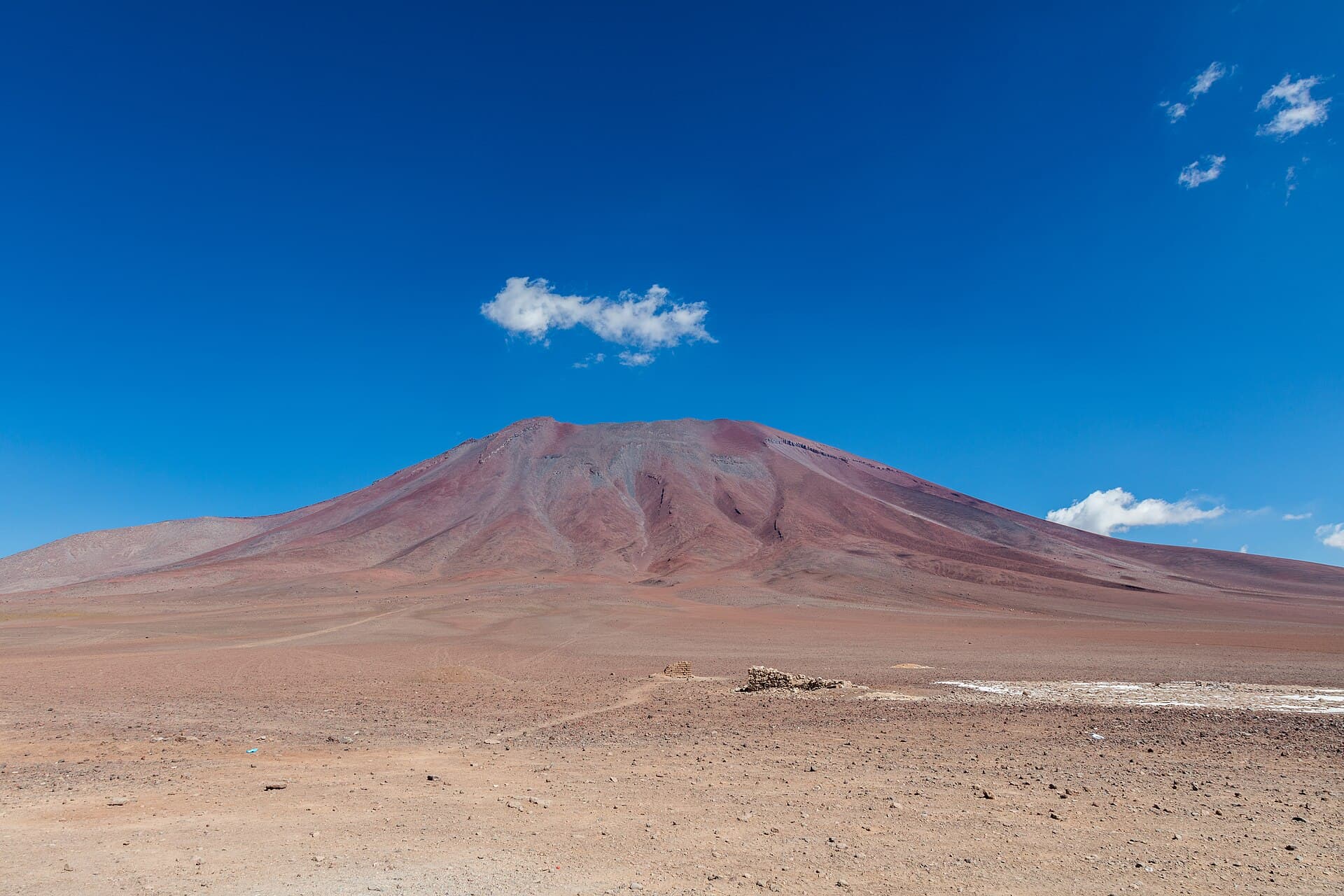
Sairecabur rises to 5,971 meters on the Bolivia-Chile border, offering a rare combination of technical simplicity and sweeping high-desert scenery. Its symmetrical cone dominates the horizon above the Eduardo Avaroa Reserve, where rust-colored volcanic slopes meet turquoise lagoons and herds of vicuña. The mountain’s relatively gentle western flank makes it one of the few 6,000-meter summits in Bolivia that experienced trekkers can reach in a long day from a high camp, without ropes or ice axes in most seasons.

How to Reach the Mountain

Most visitors start from Uyuni, Bolivia, or San Pedro de Atacama, Chile. From Uyuni, a 4×4 journey of roughly six hours crosses the Salar de Uyuni then climbs the altiplano to the village of Quetena Chico. From the Chilean side, a shorter but rougher track leaves San Pedro and crosses the border at Hito Cajones. Both routes require a sturdy vehicle and a licensed local driver; self-driving is discouraged because of unmarked tracks and sudden weather changes.

Best Time to Visit

The dry season from May through October brings stable weather and firm snow on the upper slopes. Daytime temperatures hover around 5 °C at 4,500 meters, while nights drop well below freezing. November to April brings afternoon thunderstorms and deeper snow, making route-finding more difficult and increasing rock-fall risk.

What to See and Do

Most parties establish a high camp at 5,200–5,400 meters on the west flank, then start the summit push before dawn. The route follows a broad ridge of loose volcanic scree that steepens near the crater rim; the final 200 meters involve easy scrambling on stable rock. Clear days reveal the entire Lipez volcanic chain and, on exceptional mornings, the distant snows of Licancabur. After descending, spend an afternoon exploring nearby Laguna Colorada and its flamingo colonies or soaking in the Termas de Polques hot springs.

Altitude and Safety

At these elevations, even fit travelers can suffer acute mountain sickness. Plan at least two nights above 4,000 meters before attempting the summit, drink three liters of water daily, and carry diamox or consult a physician about preventive medication. A local guide familiar with the current snow conditions is strongly recommended.

Visitor tips

  • Acclimatize for at least 48 hours in Uyuni or at Laguna Hedionda before sleeping above 5,000 meters.
  • Hire a licensed driver and guide through an agency in Uyuni; the unmarked tracks and border zone require local knowledge.
  • Pack layers for temperature swings of 20 u00b0C between midday and midnight, plus windproof shell and sun protection at extreme UV levels.

Frequently asked questions

How high is Sairecabur and how difficult is the climb?+

The summit reaches 5,971 meters. The standard western route is a strenuous hike with some scrambling; no technical ice or rock skills are required in dry season, but excellent physical condition and prior altitude experience are essential.

Do I need a permit to climb Sairecabur?+

No special climbing permit is required, but you must enter the Eduardo Avaroa Andean Fauna National Reserve, which charges a modest entry fee collected at park gates.

Can I combine Sairecabur with Salar de Uyuni?+

Yes. Most multi-day 4u00d74 tours from Uyuni finish at the volcano after crossing the salt flat, allowing a seamless itinerary that includes both highlights.

What wildlife might I see around the mountain?+

Vicuu00f1as graze the lower slopes, while Andean flamingos, vizcachas, and occasional Andean foxes frequent the surrounding lagoons and rocky outcrops.

Is it possible to cross into Chile after climbing?+

Yes. Many travelers continue from the mountain to San Pedro de Atacama via the Hito Cajones border post; coordinate vehicle and visa formalities in advance.

Share
Google Maps Apple Maps Directions

Image: Dirkgeo · CC BY-SA 3.0 · via Wikimedia Commons

Keep reading

Nearby & related

All stories
Guayaques: Bolivia’s Remote Andean Volcano in Sur Lípez
Sur Lípez Province

Guayaques: Bolivia’s Remote Andean Volcano in Sur Lípez

Experience the stark volcanic landscapes and high-altitude solitude of Guayaques in Bolivia’s southernmost province.

12 October 2026
Quetena Volcano: Trekking Bolivia’s Remote Andean Peak
Sur Lípez Province

Quetena Volcano: Trekking Bolivia’s Remote Andean Peak

A practical guide to visiting the striking Quetena Volcano in Bolivia’s Sur Lípez Province and the surrounding Altiplano…

12 October 2026
Juriques: Climbing Bolivia’s Remote Andean Volcano in Sur Lípez
Sur Lípez Province

Juriques: Climbing Bolivia’s Remote Andean Volcano in Sur Lípez

A guide to hiking Juriques, the striking 5,704-meter volcano offering sweeping views across Bolivia’s high-altitude…

12 October 2026