Skip to content
Plan & Tour
DestinationsItinerariesTravel BlogAboutContact
0Sign inPlan a trip
Plan & TourPlan & Tour

Travel guides, destination inspiration and curated itineraries for Canada, the USA and beyond, plus a free tool to plan your own day-by-day trip.

Get travel inspiration

Explore

  • All Destinations
  • Curated Itineraries
  • Travel Blog
  • Plan a Trip

Topics

  • Hiking & Nature
  • Food & Drink
  • City Breaks
  • Budget Travel

Company

  • About Us
  • Contact
  • Privacy Policy
  • Terms of Service

© 2026 Plan & Tour. Built for travellers.

Discover the world, one trip at a time.

Guayaques: Bolivia’s Remote Andean Volcano in Sur Lípez
  1. Home
  2. Destinations
  3. Sur Lípez Province
  4. Guayaques: Bolivia’s Remote Andean Volcano in Sur Lípez
Mountain

Guayaques: Bolivia’s Remote Andean Volcano in Sur Lípez

Experience the stark volcanic landscapes and high-altitude solitude of Guayaques in Bolivia’s southernmost province.

Sur Lípez ProvinceUpdated 12 October 2026

Why Guayaques Stands Out

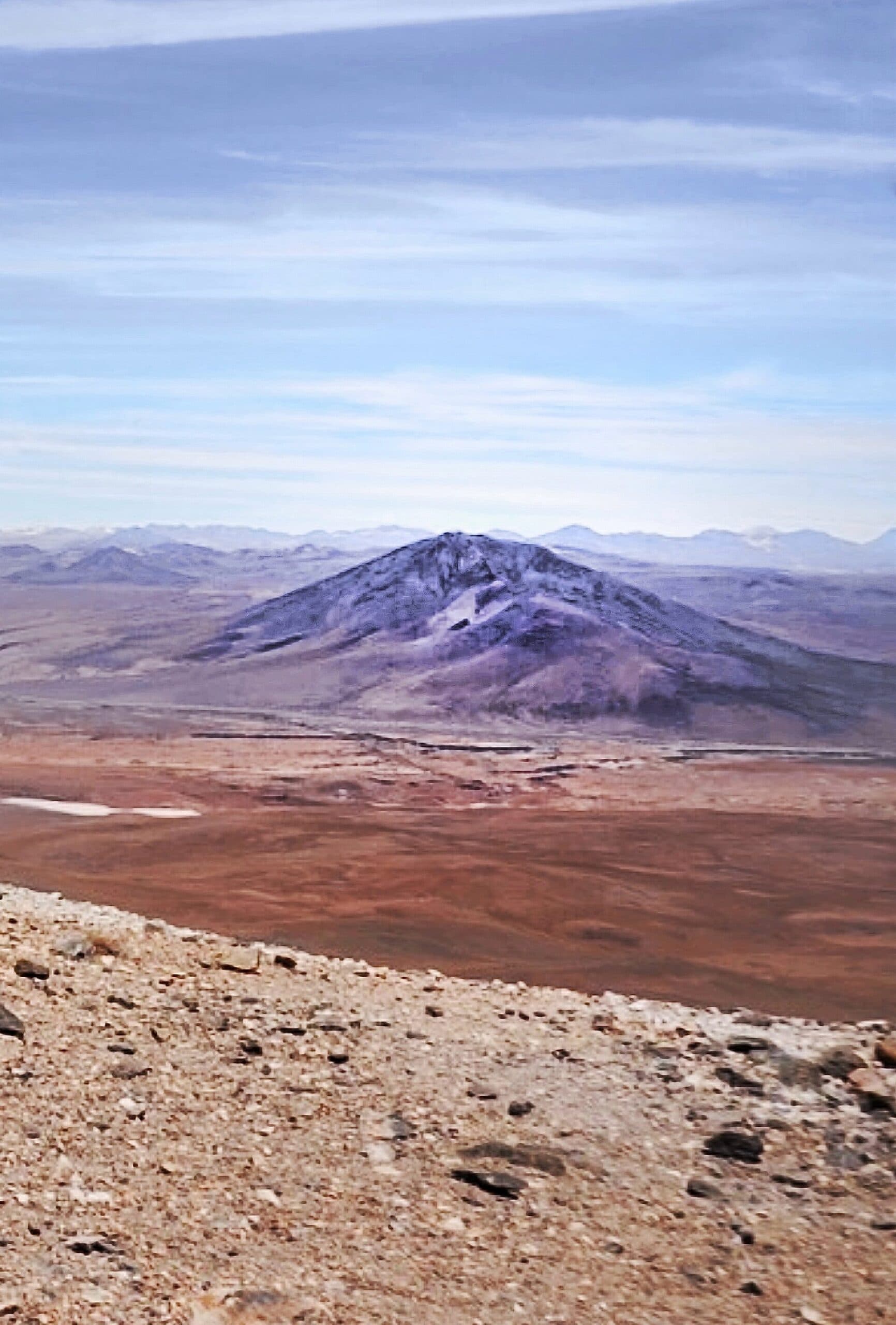
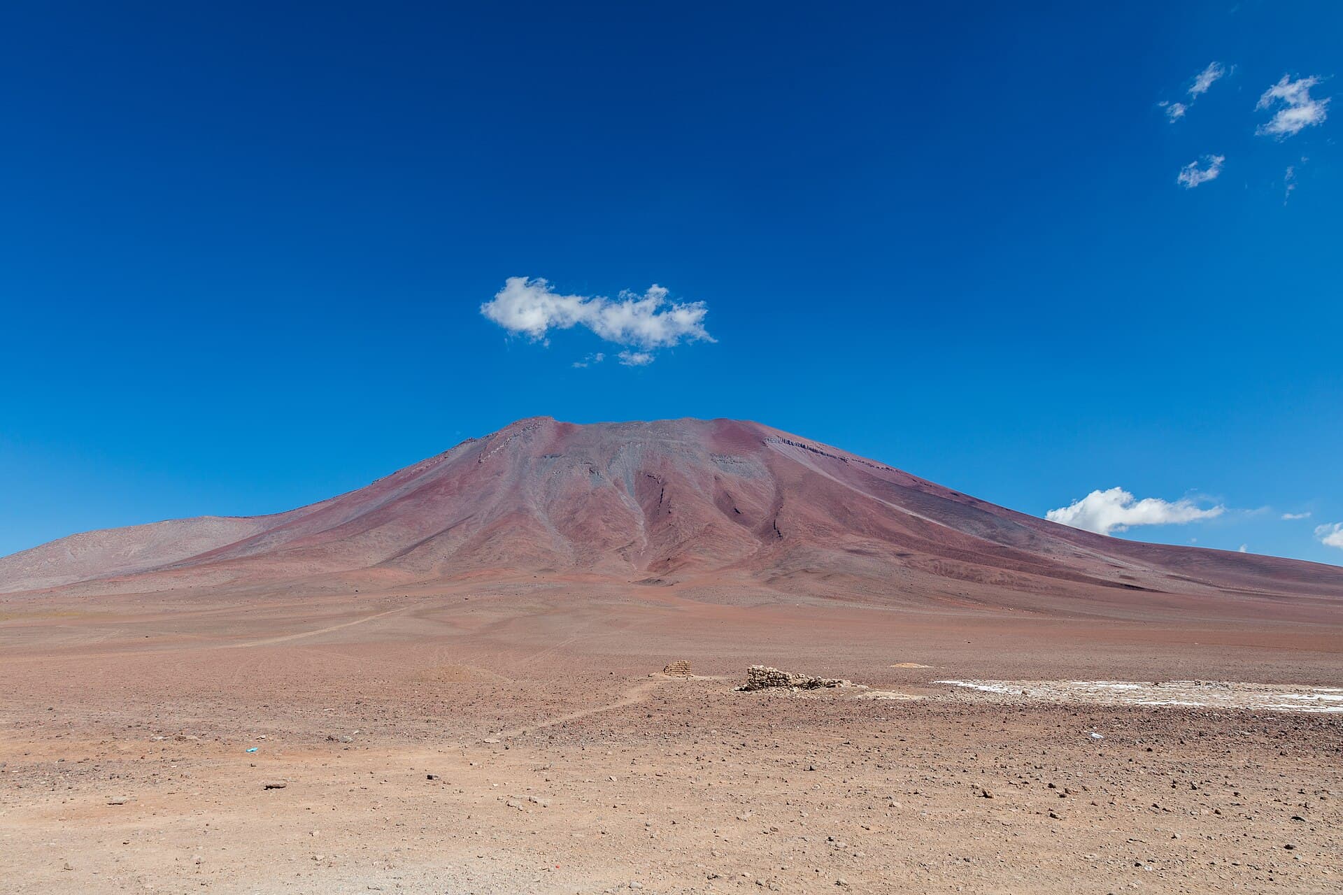
Guayaques rises as a prominent volcanic peak in the remote Sur Lípez Province of Bolivia, part of the Central Volcanic Zone of the Andes. At over 5,700 meters, its dark lava flows and jagged summit contrast sharply with the surrounding altiplano plains and distant salt flats. The mountain offers visitors a raw, uncrowded alternative to more famous Bolivian sites, with sweeping views across the border into Chile and toward neighboring volcanoes such as Licancabur and Putana.

Getting There

Most travelers reach Guayaques from Uyuni, roughly 200 kilometers to the north, via a full-day drive on unpaved roads that pass through the Eduardo Avaroa Andean Fauna National Reserve. Four-wheel-drive vehicles with experienced drivers are essential; many visitors combine the journey with multi-day tours that also visit the Sol de Mañana geysers and Laguna Colorada. Access from the Chilean side via San Pedro de Atacama requires border formalities and local transport arranged in advance.

Best Time to Visit

The dry season from May through October brings clearer skies and more stable weather, ideal for photography and high-altitude trekking. Afternoon winds can still be strong, and nighttime temperatures drop well below freezing year-round. Rainy-season visits from December to March are possible but often involve muddy tracks and limited visibility.

What to See and Do

Hiking around the lower slopes reveals colorful mineral deposits and ancient lava fields. The summit requires technical mountaineering experience and acclimatization; most visitors instead explore the surrounding volcanic plateau on foot or by vehicle. Wildlife sightings may include vicuñas, Andean foxes, and flamingos at nearby highland lakes. Stargazing is exceptional due to minimal light pollution and high elevation.

Nearby Attractions

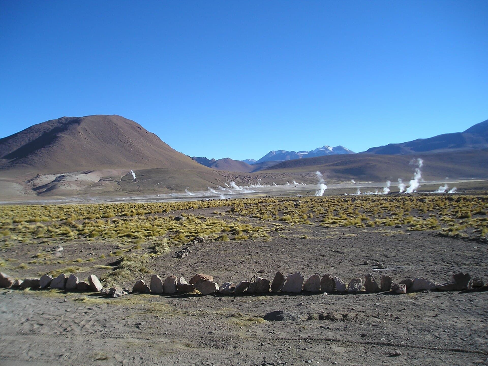
  • Eduardo Avaroa Reserve: home to colorful lagoons and thermal areas.
  • Uyuni Salt Flat: accessible on the return journey north.
  • Chalviri hot springs: natural pools for relaxing after a day at altitude.

Allow at least three days for a meaningful visit, including travel time and acclimatization.

Visitor tips

  • Spend at least two nights at altitude before attempting any strenuous activity around Guayaques to reduce the risk of altitude sickness.
  • Hire a licensed local driver and guide; the unmarked tracks and sudden weather changes make independent travel hazardous.
  • Pack layered clothing, high-SPF sunscreen, and at least three liters of water per person daily, as services are nonexistent on site.

Frequently asked questions

How high is Guayaques?+

The main summit reaches approximately 5,780 meters above sea level, making it one of the higher accessible volcanic peaks in the Sur Lu00edpez region.

Do I need a permit to visit Guayaques?+

No special climbing permit is required for the lower slopes, but entry into the adjacent Eduardo Avaroa Reserve requires a park fee paid at the gate.

Is Guayaques suitable for beginners?+

The summit demands mountaineering skills and prior acclimatization; most first-time visitors enjoy the dramatic scenery from the surrounding plateau instead.

What should I bring for a day trip?+

Warm layers, windproof jacket, sun protection, plenty of water, and snacks; there are no facilities or water sources on the mountain itself.

Can I combine Guayaques with the Uyuni Salt Flat?+

Yes, most organized tours include Guayaques as part of a southern circuit that ends or begins at the salt flat, allowing efficient multi-day itineraries.

Share
Google Maps Apple Maps Directions

Image: Gerard Prins · CC BY-SA 3.0 · via Wikimedia Commons

Keep reading

Nearby & related

All stories
Quetena Volcano: Trekking Bolivia’s Remote Andean Peak
Sur Lípez Province

Quetena Volcano: Trekking Bolivia’s Remote Andean Peak

A practical guide to visiting the striking Quetena Volcano in Bolivia’s Sur Lípez Province and the surrounding Altiplano…

12 October 2026
Juriques: Climbing Bolivia’s Remote Andean Volcano in Sur Lípez
Sur Lípez Province

Juriques: Climbing Bolivia’s Remote Andean Volcano in Sur Lípez

A guide to hiking Juriques, the striking 5,704-meter volcano offering sweeping views across Bolivia’s high-altitude…

12 October 2026
Linzor: Scaling Bolivia’s Remote Andean Volcano in Sur Lípez
Sur Lípez Province

Linzor: Scaling Bolivia’s Remote Andean Volcano in Sur Lípez

A guide to reaching and exploring the high-altitude Linzor volcano amid the stark landscapes of Bolivia’s southwestern…

12 October 2026