Why Visit Juriques
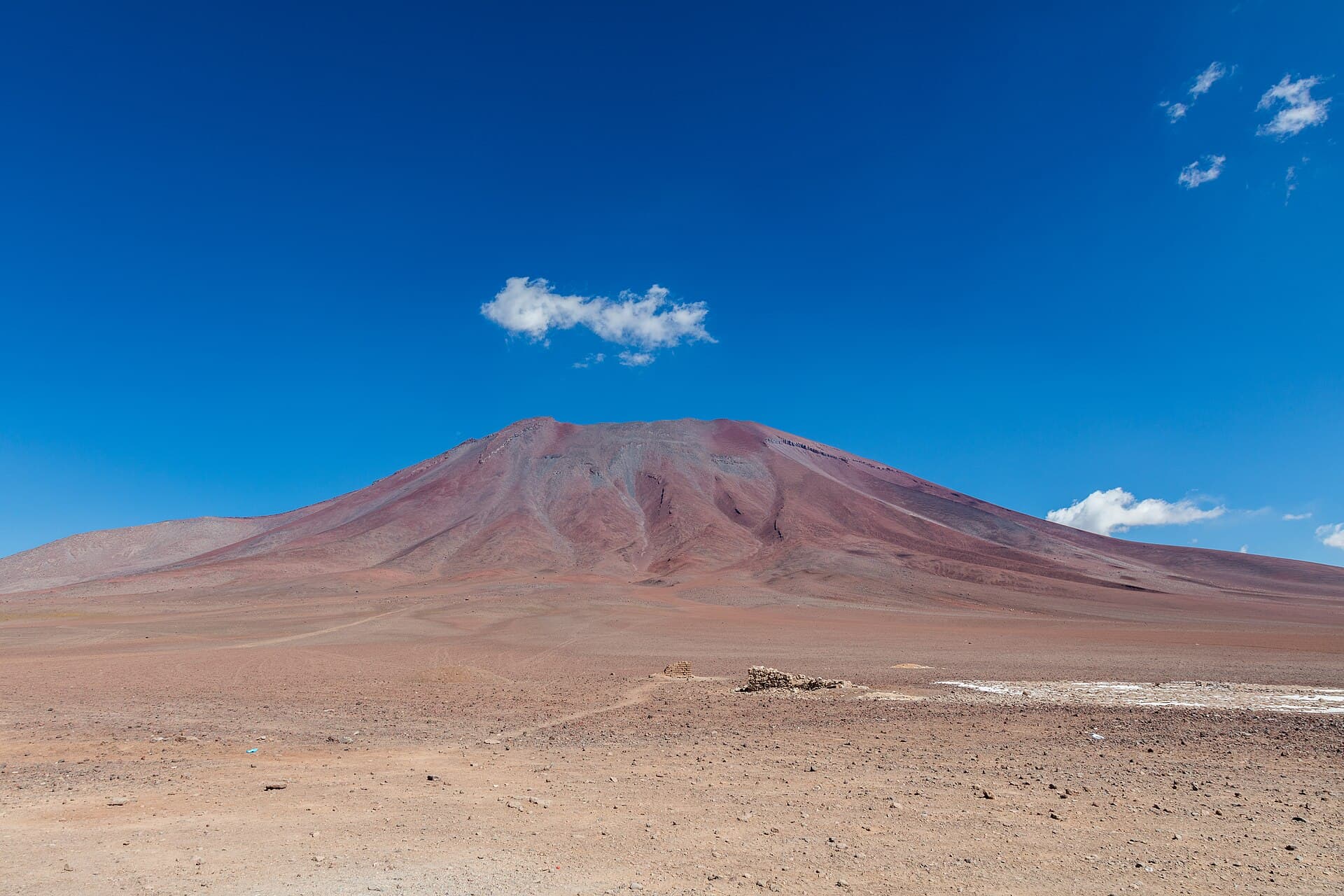
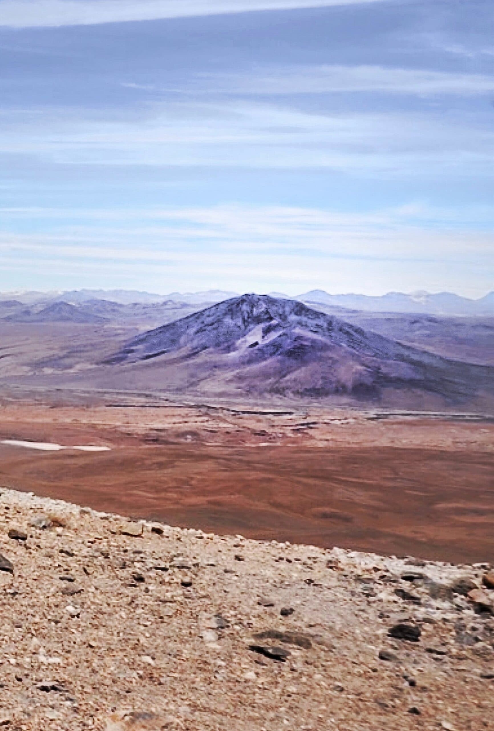
Juriques rises as a symmetrical stratovolcano in Bolivia’s far southwestern corner, within the Eduardo Avaroa Andean Fauna National Reserve. Its position near the Chilean border places it amid other prominent peaks such as Licancabur and the colorful Laguna Colorada, creating one of the most dramatic high-Andean vistas in South America. The mountain’s isolation and altitude make it a rewarding objective for travelers already exploring the Uyuni salt-flat region who want to extend their journey into true wilderness.
Hiking and Climbing Juriques
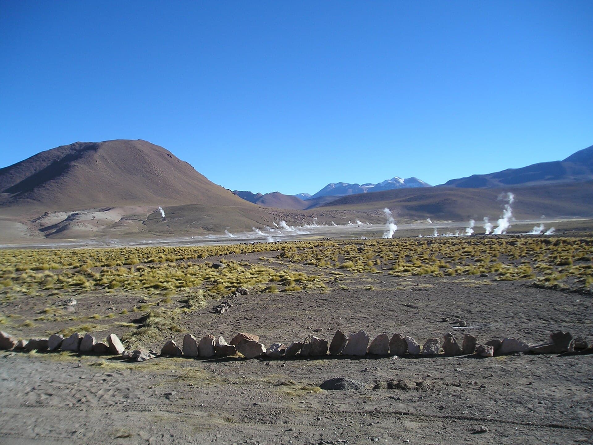
Most visitors approach from the southwest flank via a long, steady slope of loose volcanic scree. No technical climbing gear is required for the standard route, yet the 1,200-meter elevation gain from the usual trailhead demands strong acclimatization. Clear days reveal the vast altiplano stretching toward Chile and Argentina, with steaming fumaroles sometimes visible on neighboring volcanoes. Early morning starts are essential to avoid afternoon winds that can reach gale force at this elevation.
Preparation and Safety
Altitude above 5,000 meters is the primary hazard. Travelers should spend at least two nights at 4,000 meters or higher before attempting the summit. Carry plenty of water, as there are no sources on the mountain itself, and expect temperatures that can drop below freezing even in summer. A local guide familiar with the reserve’s unmarked tracks is strongly recommended because sudden weather changes can obscure the return route.
How to Get There
Juriques lies roughly 200 kilometers south of Uyuni. Most visitors join organized tours that depart from Uyuni or Tupiza and continue through the reserve’s circuit of lagoons and geysers. Independent drivers need high-clearance 4×4 vehicles and must register at the park entrance near Quetena Chico. The final approach to the mountain requires navigating faint tracks across open pampa; GPS coordinates help but do not replace local knowledge of seasonal river crossings.
Best Time to Visit
The dry season from May to October offers the most stable weather and clearest views. June through August brings cold nights but virtually no precipitation. November to March sees occasional afternoon thunderstorms and snow flurries that can make the upper slopes treacherous. Regardless of season, sunrise and sunset temperatures at the summit regularly fall below -10 °C, so layered clothing and windproof shells are mandatory year-round.
Nearby Attractions
After descending, most travelers continue to Laguna Colorada to watch flamingos feed against the red water, then to the Sol de Mañana geyser field. The Chilean border crossing at Hito Cajones lies only 30 kilometers west, allowing a loop into San Pedro de Atacama for those holding the necessary visas. The entire circuit rewards visitors who allocate at least three full days within the reserve.