Skip to content
Plan & Tour
DestinationsItinerariesTravel BlogAboutContact
0Sign inPlan a trip
Plan & TourPlan & Tour

Travel guides, destination inspiration and curated itineraries for Canada, the USA and beyond, plus a free tool to plan your own day-by-day trip.

Get travel inspiration

Explore

  • All Destinations
  • Curated Itineraries
  • Travel Blog
  • Plan a Trip

Topics

  • Hiking & Nature
  • Food & Drink
  • City Breaks
  • Budget Travel

Company

  • About Us
  • Contact
  • Privacy Policy
  • Terms of Service

© 2026 Plan & Tour. Built for travellers.

Discover the world, one trip at a time.

Porcupine River: Wilderness Paddling in Remote Alaska and Yukon
  1. Home
  2. Destinations
  3. Alaska
  4. Porcupine River: Wilderness Paddling in Remote Alaska and Yukon
River

Porcupine River: Wilderness Paddling in Remote Alaska and Yukon

A remote northern river offering multi-day canoe trips through untouched boreal forest, abundant wildlife, and historic Indigenous travel routes.

AlaskaUpdated 13 August 2026

Why the Porcupine River Draws Adventurers

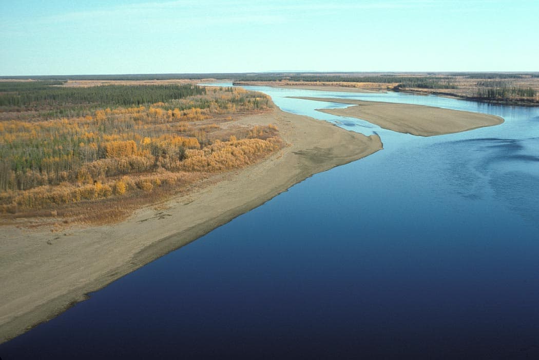
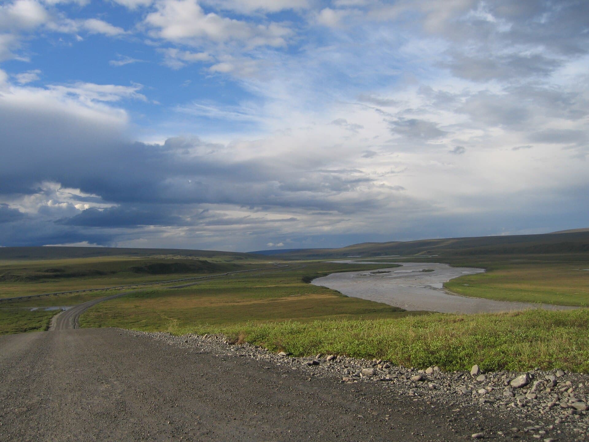
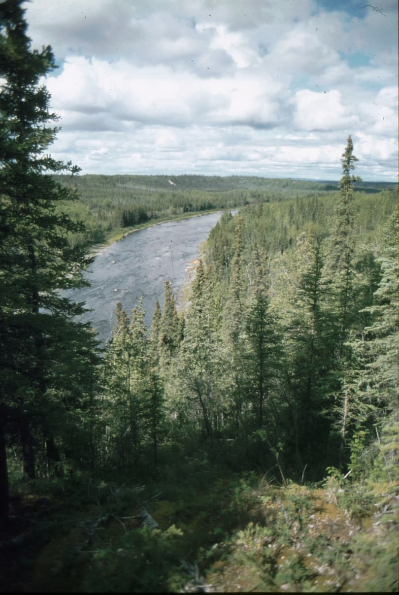
The Porcupine River carves a 600-mile path from the Ogilvie Mountains in Yukon across the Alaska border, joining the Yukon River near Fort Yukon. Its upper reaches remain one of North America’s least-developed river corridors, where travelers encounter intact spruce forests, braided channels, and frequent wildlife sightings without roads or crowds.

What to See and Do

Multi-Day Canoe and Kayak Trips

Most visitors paddle the 200-mile section from Old Crow, Yukon, to Fort Yukon, Alaska. The river moves at a steady pace with manageable Class I-II rapids, allowing 10–14 days for the full journey with time for side hikes and fishing. Gravel bars provide natural campsites.

Wildlife Viewing

Caribou from the Porcupine herd cross the river in spring and fall. Moose, grizzly bears, and wolves frequent the banks. Birders spot gyrfalcons, peregrine falcons, and migratory waterfowl along the wetlands.

Fishing

Chinook and chum salmon run in late summer. Arctic grayling, northern pike, and burbot are available year-round. Catch-and-release is encouraged in the upper river.

How to Get There

Access begins with commercial flights to Dawson City or Whitehorse, Yukon, followed by scheduled air service to Old Crow. From Fort Yukon, Alaska, small planes connect to Fairbanks. River travelers must arrange return flights or continue down the Yukon River to Circle or Eagle.

Best Time to Visit

June through early September offers ice-free water and long daylight. July and August bring peak insect activity and the best fishing; September offers fewer bugs and possible northern lights but cooler temperatures and shorter days.

Nearby Destinations

  • Yukon-Charley Rivers National Preserve lies just downstream.
  • The Arctic National Wildlife Refuge is reachable by floatplane from Fort Yukon.
  • Old Crow Flats, a Ramsar wetland, lies north of the river and supports exceptional birdlife.

Visitor tips

  • Hire a local guide or outfitter in Old Crow for the first trip; the river has few markers and weather changes quickly.

Keep reading

Nearby & related

All stories
Mount Okmok: Hiking the Caldera of Alaska’s Remote Aleutian Volcano
Alaska

Mount Okmok: Hiking the Caldera of Alaska’s Remote Aleutian Volcano

Explore the vast caldera, lava fields, and wildlife of this active shield volcano on Umnak Island.

13 August 2026
Pack bear-resistant food containers and practice proper storage; grizzlies are active along the entire corridor.
  • File a detailed float plan with authorities and carry a satellite communicator; cell service is nonexistent.
  • Frequently asked questions

    Do I need a permit to paddle the Porcupine River?+

    No permit is required for recreational paddling, but visitors crossing the U.S.-Canada border must carry valid passports and complete customs declarations.

    How remote is the river and what supplies should I bring?+

    The corridor has no services for hundreds of miles. Bring all food, fuel, repair kits, and emergency gear; plan for at least one extra day of supplies.

    What is the typical water level like in summer?+

    Levels are usually sufficient for canoe travel from mid-June onward, though high water in early season can create strong currents and floating debris.

    Can I fish without a license?+

    Both Yukon and Alaska require fishing licenses. Non-residents must purchase the appropriate territorial or state license before entering the water.

    Are there any communities along the route?+

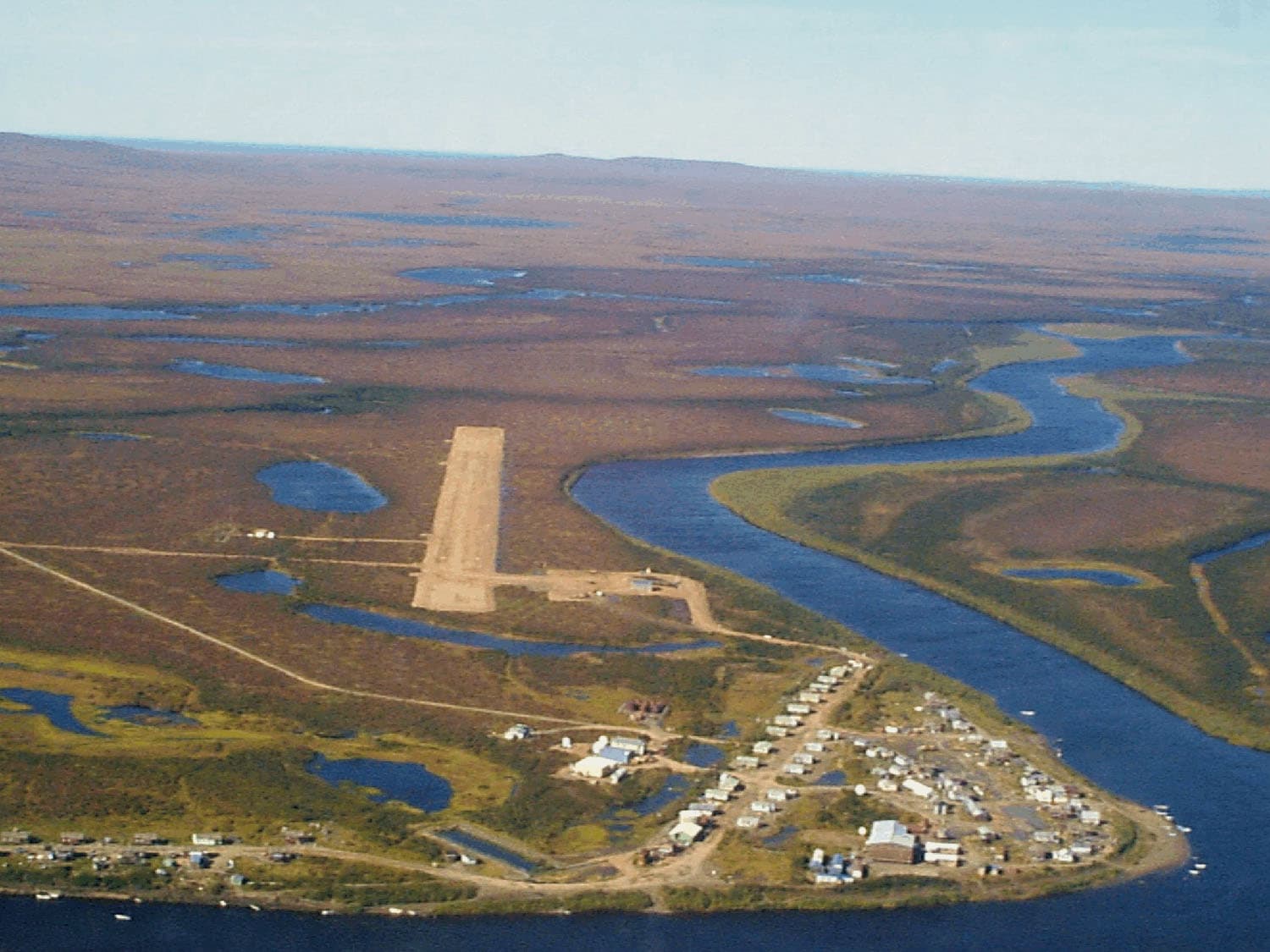
    Old Crow at the start and Fort Yukon at the end are the only settlements. Both have small stores and air service but limited lodging.

    Share
    Google Maps Apple Maps Directions

    Image: Spencer, David · Public domain · via Wikimedia Commons

    Atka Island: Remote Wilderness and Aleutian History in Alaska
    Aleutians West Census Area

    Atka Island: Remote Wilderness and Aleutian History in Alaska

    Experience the rugged isolation, seabird colonies, and World War II remnants of this far-flung Aleutian island.

    13 August 2026
    Revillagigedo Island: Alaska’s Misty Rainforest Gateway
    Alaska

    Revillagigedo Island: Alaska’s Misty Rainforest Gateway

    Ketchikan’s home island offers totem poles, salmon streams, and easy access to the wild fjords of Southeast Alaska.

    13 August 2026