Why the Yukon River Belongs on Your Alaska Itinerary
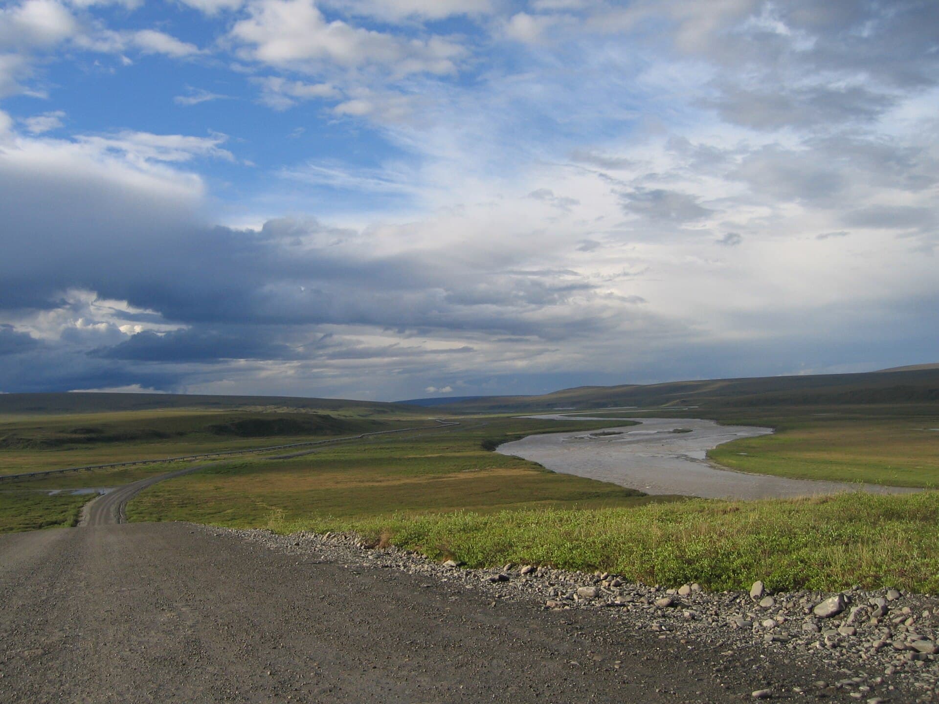
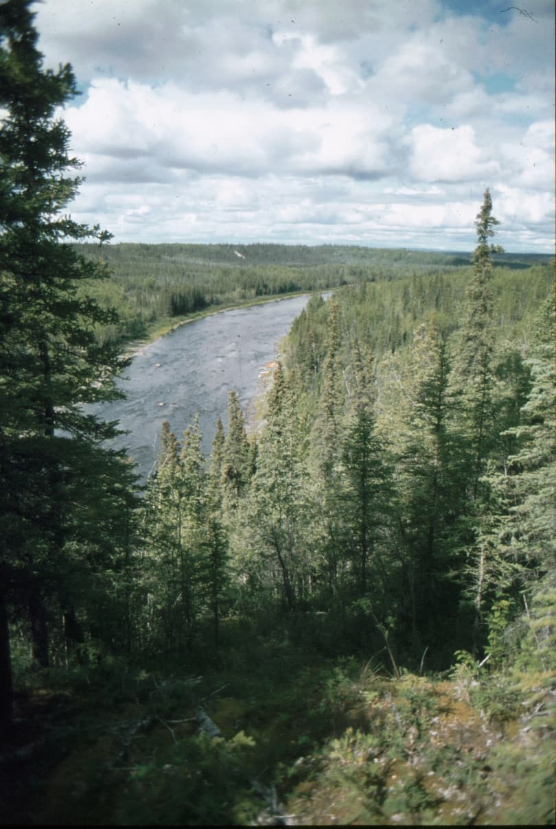
The Yukon River carves through 1,980 miles of boreal forest, tundra, and wetlands before emptying into the Bering Sea. In Alaska it remains largely undeveloped, offering paddlers, anglers, and wildlife watchers a rare chance to travel days without seeing another person. Its braided channels, shifting sandbars, and powerful currents create constantly changing scenery while supporting salmon runs that sustain bears, eagles, and rural communities.
What to See and Do
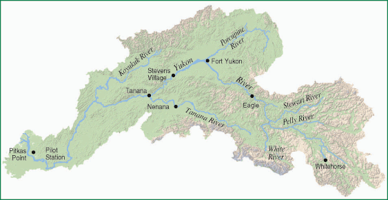
Multi-day canoe or raft trips between Eagle and Circle or Circle and Fort Yukon showcase the river’s classic character. Expect gravel bars for camping, clear side streams for side hikes, and frequent sightings of moose, caribou, and grizzlies. Fishing for king, chum, and coho salmon plus northern pike and sheefish is excellent from boat or shore. History buffs visit the old sternwheeler landing at Eagle, the abandoned gold dredges near Circle, and the Athabascan fish camps still active along the banks. Birders find migratory waterfowl and raptors concentrated along the river corridor.
Guided versus Independent Travel
Most visitors hire local outfitters for logistics because the river is remote and weather can strand travelers for days. Guided trips include equipment, meals, and interpretation; independent paddlers must arrange vehicle shuttles via small-plane bush pilots or riverboat captains.
Getting There
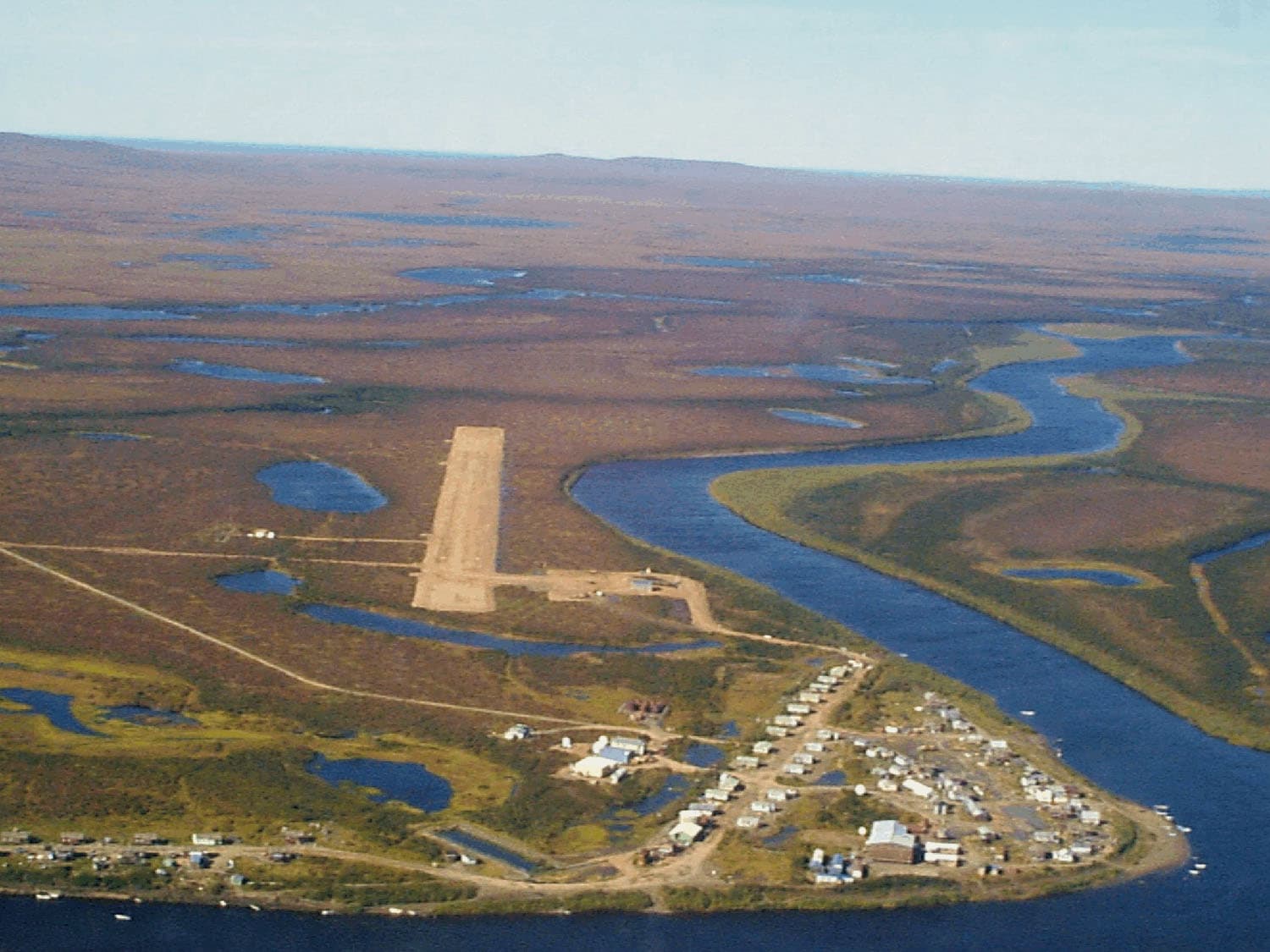
Access points lie at the end of the Taylor Highway (Eagle), the Steese Highway (Circle), or via scheduled flights to villages such as Fort Yukon, Beaver, or Galena. From Fairbanks, the drive to Circle takes roughly three hours on mostly paved roads; reaching Eagle requires an additional 160 miles of gravel. Floatplanes and riverboats provide the only practical links to communities farther downstream.
Best Time to Visit
June through early September offers the longest daylight, ice-free channels, and active salmon runs. Early June brings high water and cooler temperatures; late August and September deliver fewer insects, autumn color, and the start of the northern lights season. Winter travel is possible by snowmobile or dogsled but requires expert local knowledge and extreme cold preparedness.
Nearby Attractions
Combine a river trip with visits to Denali National Park (accessible via the Parks Highway from Fairbanks), the Arctic National Wildlife Refuge (flights from Fort Yukon), or the historic Klondike gold fields just across the Canadian border in Dawson City, Yukon Territory.