Mount Edziza Volcanic Complex: Remote Wilderness Hiking in Northern British Columbia
Hike through lava fields, cinder cones, and glacial terrain in one of Canada’s most isolated volcanic parks.
Why Visit Mount Edziza Volcanic Complex
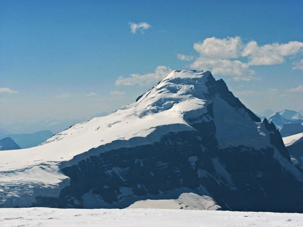
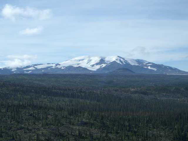
The Mount Edziza volcanic complex forms a vast shield volcano and surrounding plateau in the Tahltan Highland of northern British Columbia. Its dramatic landscape of black basalt flows, red cinder cones, and ice-scoured valleys offers hikers a rare chance to walk across recent volcanic terrain far from roads or crowds.
What to See and Do
Experienced backpackers tackle multi-day routes across the plateau, visiting landmarks such as the summit crater of Mount Edziza, the striking cone of Coffee Crater, and the colorful mineral springs at Kakiddi Creek. The area also contains several alpine lakes ideal for fishing and wildlife viewing, including caribou, mountain goats, and grizzly bears. Photography of lava tubes and obsidian deposits provides another draw for visitors who reach the more remote sections.
Recommended Activities
- Backcountry hiking on unmarked volcanic terrain
- Wildlife observation from safe distances
- Photography of cinder cones and lava flows
- Camping beside high-elevation tarns
How to Get There
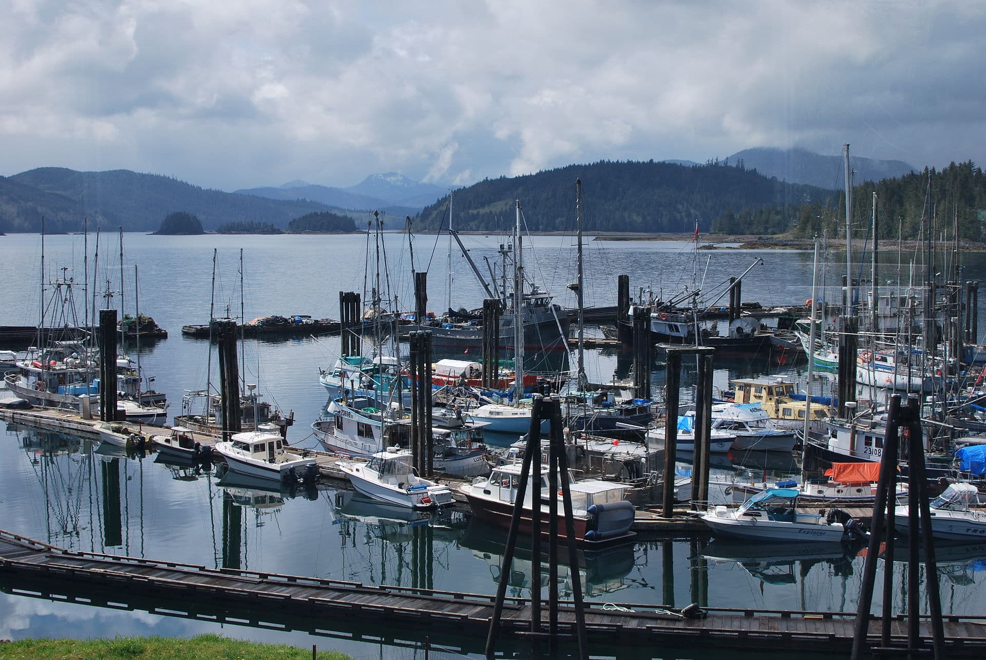
Access begins with travel to the small community of Telegraph Creek or Dease Lake. From these points, visitors arrange floatplane charters to landing sites on Buckley Lake or Mowdade Lake inside the park boundary. Some hardy travelers reach trailheads via rough mining roads, though these require high-clearance vehicles and local knowledge of current conditions.
Best Time to Visit
July through early September offers the longest snow-free window and most stable weather for extended trips. Earlier or later visits are possible but demand winter camping skills and awareness of rapidly changing conditions on the open plateau.
Nearby Places Worth Exploring
The Stikine River canyon lies to the west, while the community of Telegraph Creek provides a historic gateway with hot springs and river access. Further south, the Spatsizi Plateau offers additional wilderness hiking opportunities for those extending their northern British Columbia journey.
Visitor tips
- Carry a satellite communicator and file a detailed trip plan, as there is no cell service and rescue response times are long.
- Pack extra food and fuel; weather delays frequently extend planned itineraries by several days.
- Treat all water sources and practice strict bear-aware camping, especially near berry patches and game trails.
Frequently asked questions
Do I need a permit to visit Mount Edziza Provincial Park?
Backcountry camping requires registration with BC Parks; check current requirements before travel as rules can change.
What level of experience is needed for hiking at Mount Edziza?
The area suits only experienced backpackers comfortable with route-finding, river crossings, and multi-day self-sufficiency.
Can I see the volcanic features without flying in?
Limited views are possible from the edges via long road approaches, but the best lava flows and cones lie deep inside the park and usually require air access.
Are there established trails or campsites?
There are no maintained trails or facilities; visitors navigate using maps, GPS, and visible landforms while camping at large, previously used sites.
What wildlife should I watch for?
Grizzly bears, black bears, caribou, and wolves are common; store food properly and maintain safe distances at all times.