Mount Edziza: Hiking British Columbia’s Remote Volcanic Plateau
Venture into northern British Columbia’s vast volcanic wilderness for dramatic lava fields, alpine lakes, and pristine subarctic terrain.
Why Mount Edziza Stands Out
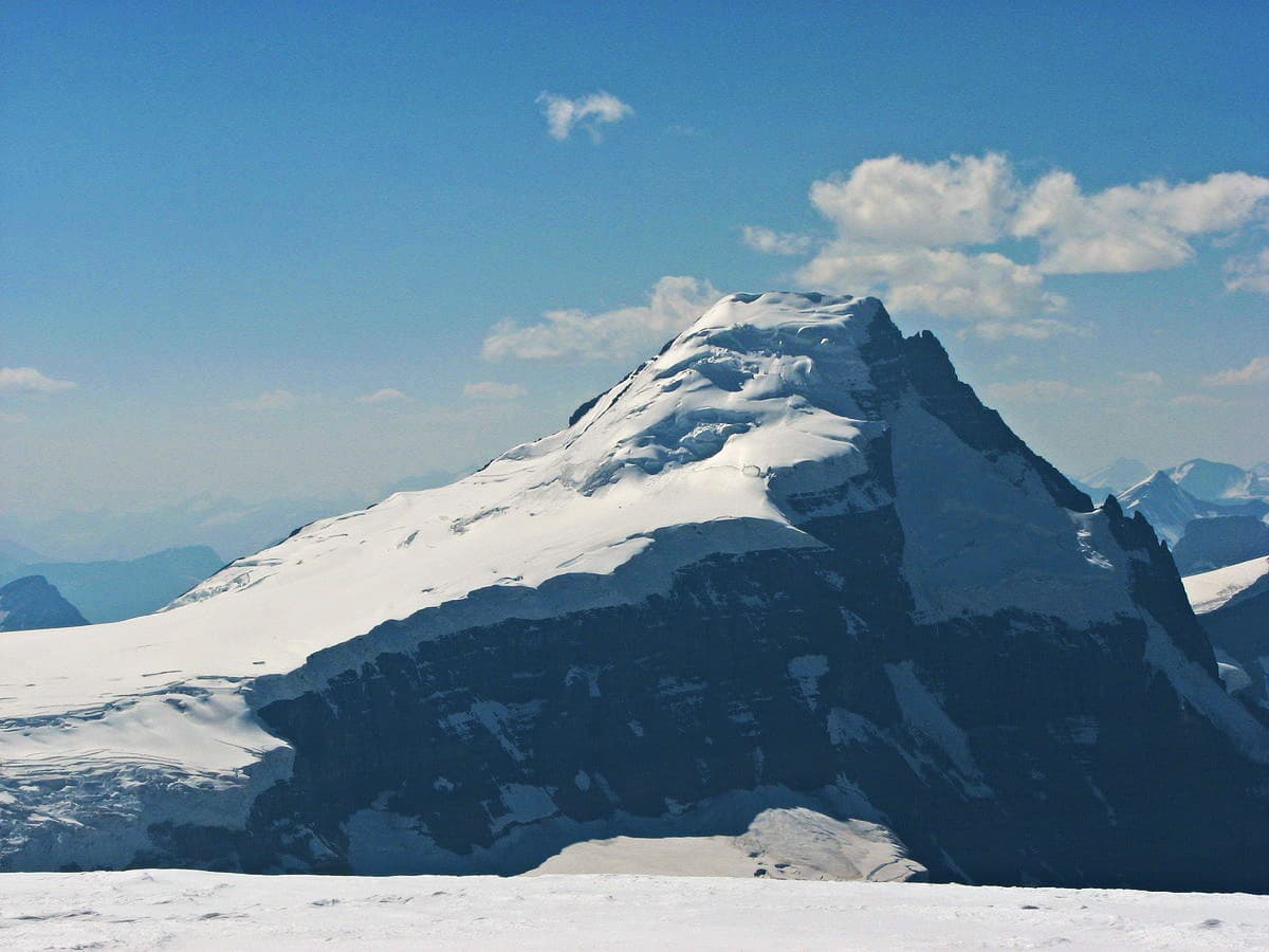
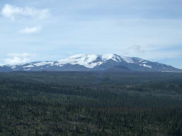
Mount Edziza rises as the centerpiece of a massive Pleistocene-to-Holocene volcanic complex in the Tahltan Highland. Its broad summit plateau, flanked by cinder cones, obsidian flows, and colorful mineral springs, offers visitors an unusually intact record of repeated eruptions set within one of Canada’s largest protected volcanic landscapes.
Getting There
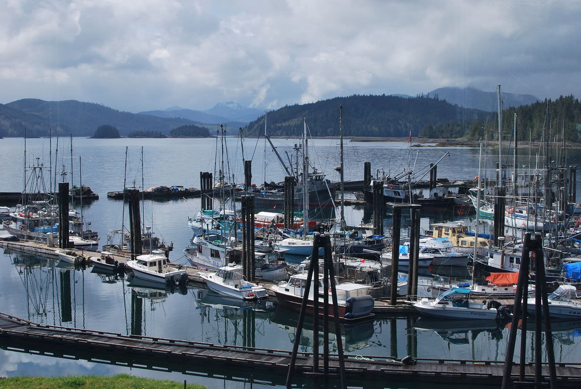
Access begins in the community of Dease Lake or the historic settlement of Telegraph Creek. From either point, travelers arrange floatplane flights or multi-day horseback or hiking approaches across the gently rolling plateau. No maintained roads reach the mountain; every route demands self-sufficient wilderness travel and advance coordination with local Tahltan outfitters.
Best Time to Visit
The short northern summer window from mid-July through early September provides the only reliable snow-free period for extended travel. Daytime temperatures are mild, wildflowers carpet the tundra, and daylight lasts nearly twenty hours, yet sudden storms and cold nights remain common even in August.
What to See and Do
Popular objectives include traversing the Edziza Plateau to examine fresh-looking lava flows and the striking black obsidian outcrops that gave the mountain its Tahltan name. Hikers can circumnavigate the summit crater rim for panoramic views of neighboring volcanic peaks and the deep canyon of the Stikine River. Side trips lead to tiny turquoise tarns and mineral springs whose vivid turquoise and orange hues contrast sharply with surrounding black basalt. Wildlife viewing is excellent: woodland caribou, grizzly bears, and Stone’s sheep frequent the open ridges.
Nearby Attractions
Within the same provincial park lie the striking Hoodoo formations of the Mount Edziza–Spectrum Range complex and the historic obsidian trade routes once used by First Nations. Southward, the Stikine River offers multi-day paddling through basalt canyons, while the community of Telegraph Creek provides a window into early 20th-century gold-rush history and living Tahltan culture.
Visitor tips
- Carry a satellite communicator and file a detailed trip plan; cell coverage is nonexistent beyond the first few kilometres from Telegraph Creek.
- Pack for rapid weather changes with layered wool or synthetic clothing, a four-season tent, and extra fuel for extended foul-weather days.
- Respect Tahltan cultural sites; do not disturb obsidian scatters or camp on traditional gathering grounds without local guidance.
Frequently asked questions
Do I need a permit to visit Mount Edziza Provincial Park?
Backcountry camping is allowed without a permit, but commercial operators and large groups must register with BC Parks and obtain Tahltan Nation consent for certain routes.
How difficult is the hike to the summit plateau?
The approach is long and remote rather than technically steep; expect 3u20137 days of off-trail travel across tussock tundra and loose volcanic rubble depending on your starting point.
What wildlife precautions are necessary?
Grizzly bears are common; carry bear spray, cook away from camp, and use proper food storage. Caribou and Stoneu2019s sheep are frequently seen but keep a respectful distance.
Can I fly in and out the same day?
Weather and logistics rarely allow same-day return; most visitors plan a minimum three-night stay to account for possible flight delays.
Are there established trails or only route-finding?
There are no marked trails; navigation relies on topographic maps, GPS, and visual landmarks across the open plateau.