Why Mount Augusta Stands Out
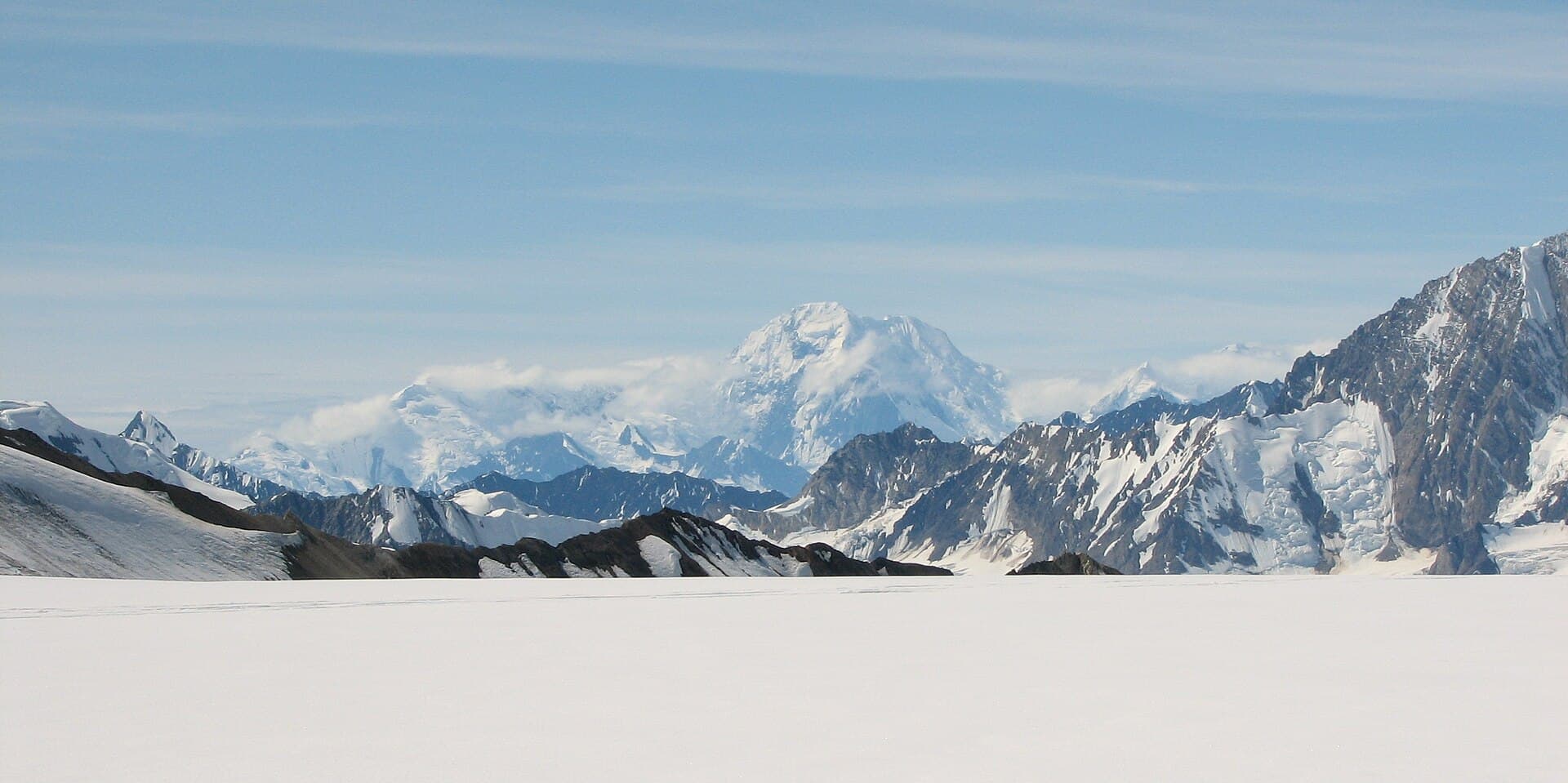
Mount Augusta rises to 14,070 feet in the heart of Alaska’s Saint Elias Mountains, ranking among the highest and most isolated peaks in the United States. Its steep granite faces, extensive glaciers, and frequent high winds create a serious mountaineering objective that rewards careful preparation with sweeping views of the ice-bound borderlands between Alaska and Canada.
Climbing Routes and Terrain
Most ascents follow the long Southeast Ridge or the more technical South Face, both demanding glacier travel, crevasse navigation, and mixed rock-and-ice climbing. The mountain’s remote location means parties must be fully self-sufficient for 10–20 days, carrying all supplies or arranging airdrops. Avalanche hazard, whiteout conditions, and extreme cold are constant factors even in summer.
Getting There
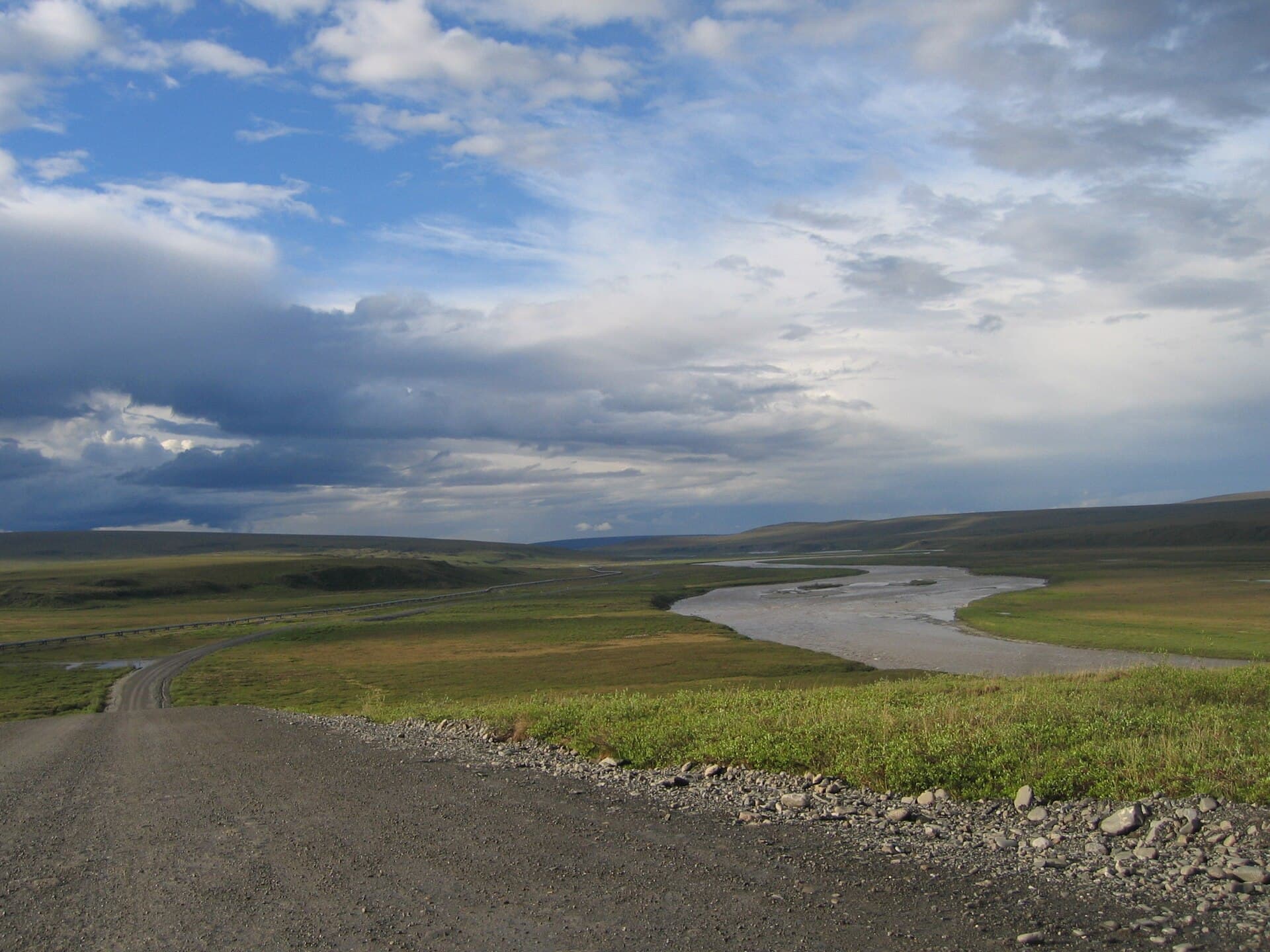
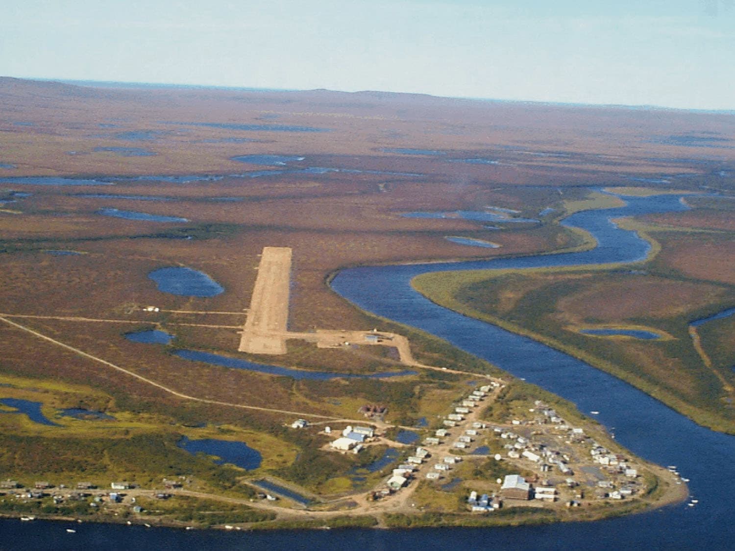
Access begins with a flight from Yakutat or Haines Junction to a glacier landing strip near the base. Fixed-wing bush planes equipped with skis are the standard method; helicopter support is limited by park regulations. From the landing zone, teams ski or trek several miles across ice to reach high camp. No roads or trails reach the mountain.
Best Time to Visit
June through early August offers the longest daylight and relatively stable weather windows, though storms can arrive any day. Earlier season snow bridges may ease glacier crossings, while late-season conditions often expose more ice and rock. Winter ascents are extremely rare due to darkness and temperatures well below zero.
Nearby Destinations
After an Augusta attempt, many climbers turn to Mount Saint Elias or the peaks surrounding Mount Logan. The vast park also contains historic mining sites at Kennecott and the dramatic Malaspina Glacier, both reachable by road or short flight from the same gateway towns.
- Allow extra days for weather delays on both arrival and departure flights.
- Coordinate with the National Park Service for current glacier landing restrictions.