Why Monte Velino Stands Out
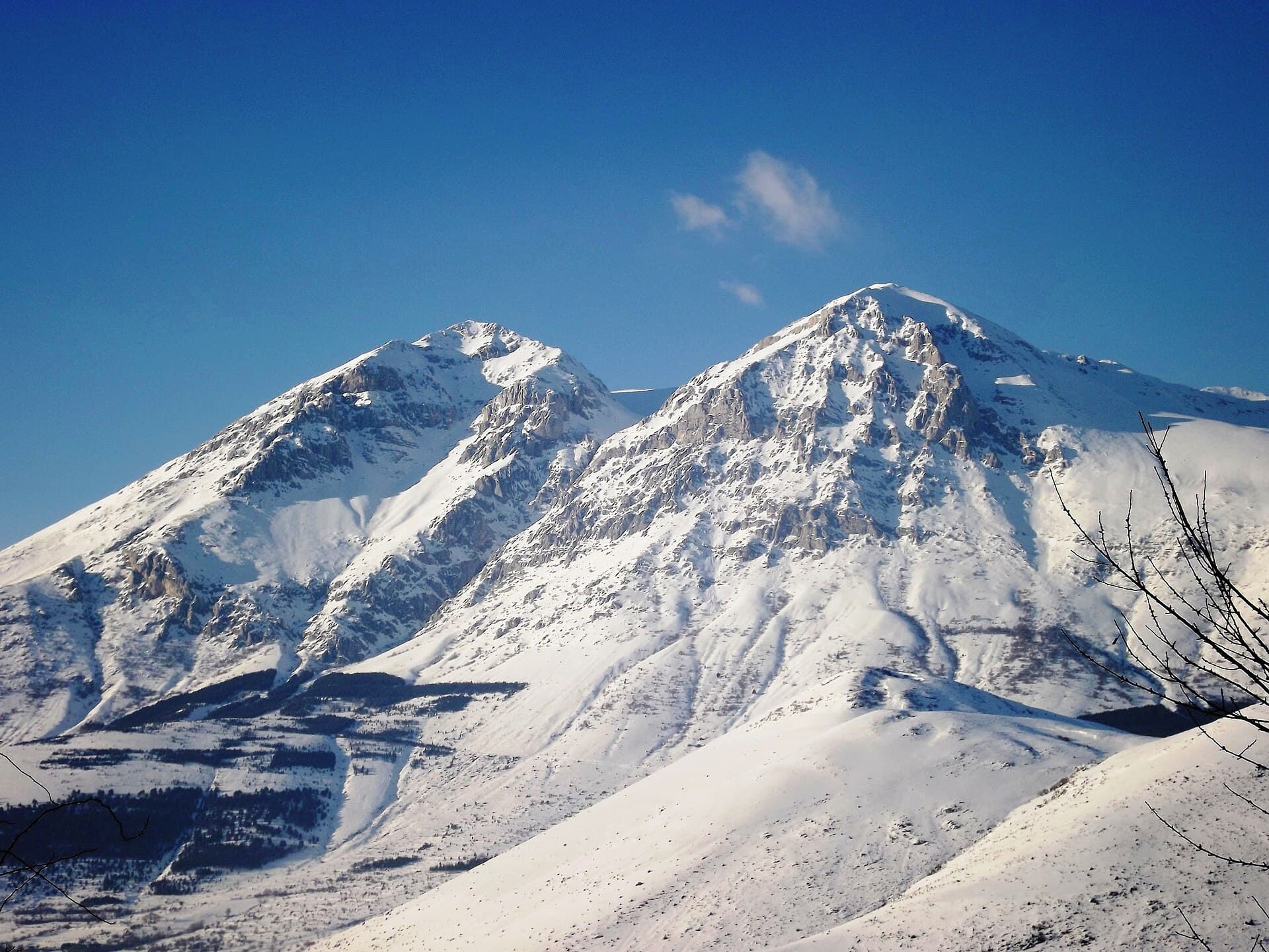
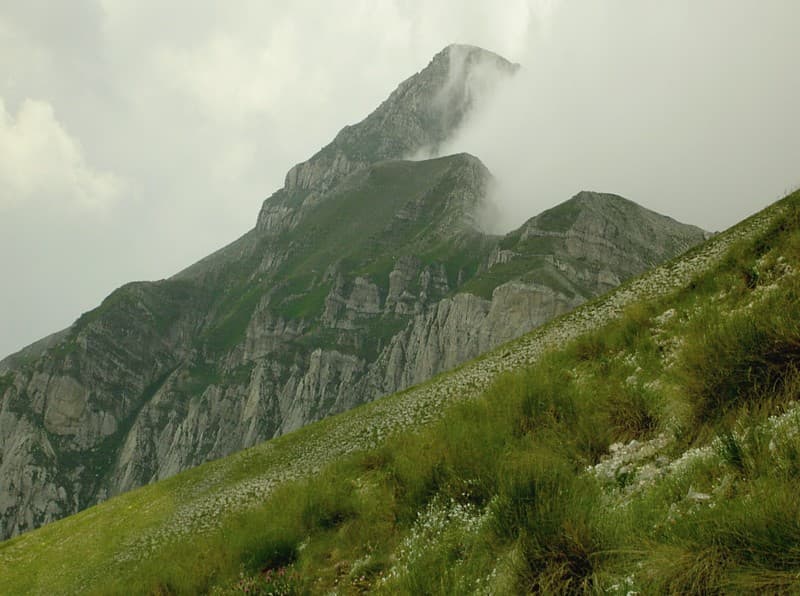
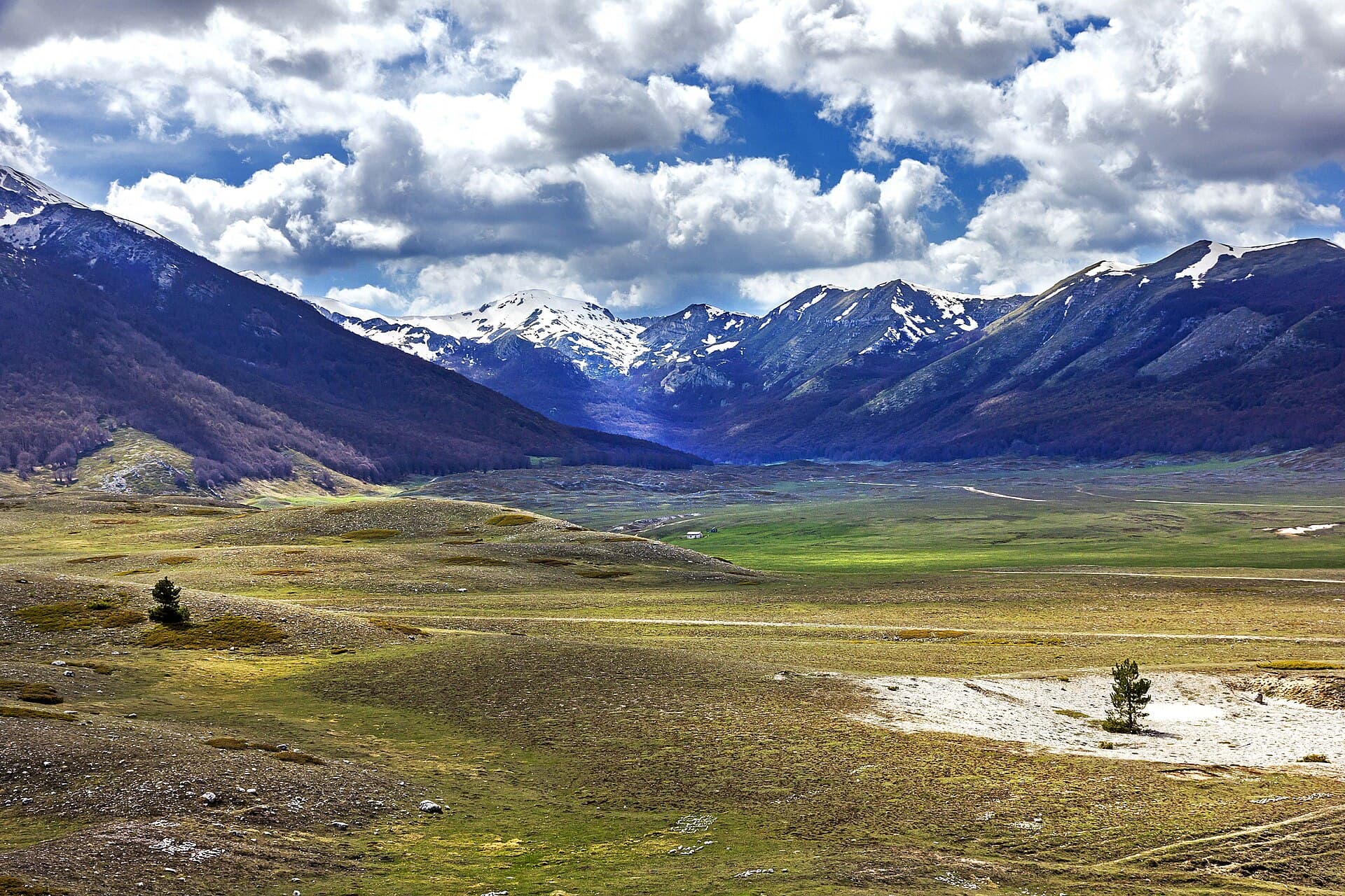
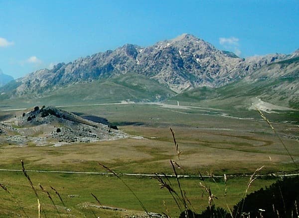
Monte Velino rises to 2,486 metres as the second-highest summit in the Abruzzo Apennines. Its broad limestone ridge dominates the Sirente-Velino Regional Park, offering hikers a genuine high-mountain experience without the crowds of the Gran Sasso. The mountain’s north face drops steeply into the Aterno valley while gentler southern slopes lead to wide karst plateaus dotted with seasonal wildflowers and grazing chamois.
Best Hiking Routes
The classic ascent begins near the village of Ovindoli and follows the ridge via the Val d’Arno trail. This route gains roughly 1,200 metres and takes five to six hours round-trip for fit walkers. A longer traverse from Campo Felice ski area crosses the Velino-Magnola saddle before reaching the summit cross; allow seven to eight hours. Both paths cross open meadows then steep scree slopes where sure-footedness is essential. In winter, snowshoe or ski-touring routes open from the same trailheads when avalanche conditions permit.
Wildlife and Scenery
Golden eagles patrol the cliffs, while Apennine chamois and wolves inhabit the higher valleys. On clear days the view stretches from the Maiella massif in the east to the Tyrrhenian Sea on the western horizon. The summit plateau itself is a broad, windswept limestone pavement that feels remote even in summer.
Getting There
Monte Velino lies 30 kilometres south-east of L’Aquila. Drivers reach trailheads via the SS5 or A25 motorway exits at Celano or Avezzano, then local roads to Ovindoli or Campo Felice. Regional trains stop at Celano; from there taxis or infrequent buses serve the mountain villages. No cable cars reach the summit, so all visitors hike or ski the final kilometres.
Best Time to Visit
Late June through September offers the most reliable weather for hiking. July and August bring long daylight but occasional afternoon thunderstorms; start early. Spring and autumn provide quieter trails but require checking snow cover above 2,000 metres. Winter visits suit experienced mountaineers equipped for ice and cold.
Nearby Attractions
Combine a Velino hike with the medieval hill town of Rocca di Cambio, the ancient Roman site at Alba Fucens, or the ski slopes of Campo Felice. The park’s visitor centre in Celano explains local geology and wildlife. Further afield, L’Aquila’s historic centre and the Gran Sasso National Park offer contrasting cultural and alpine experiences.