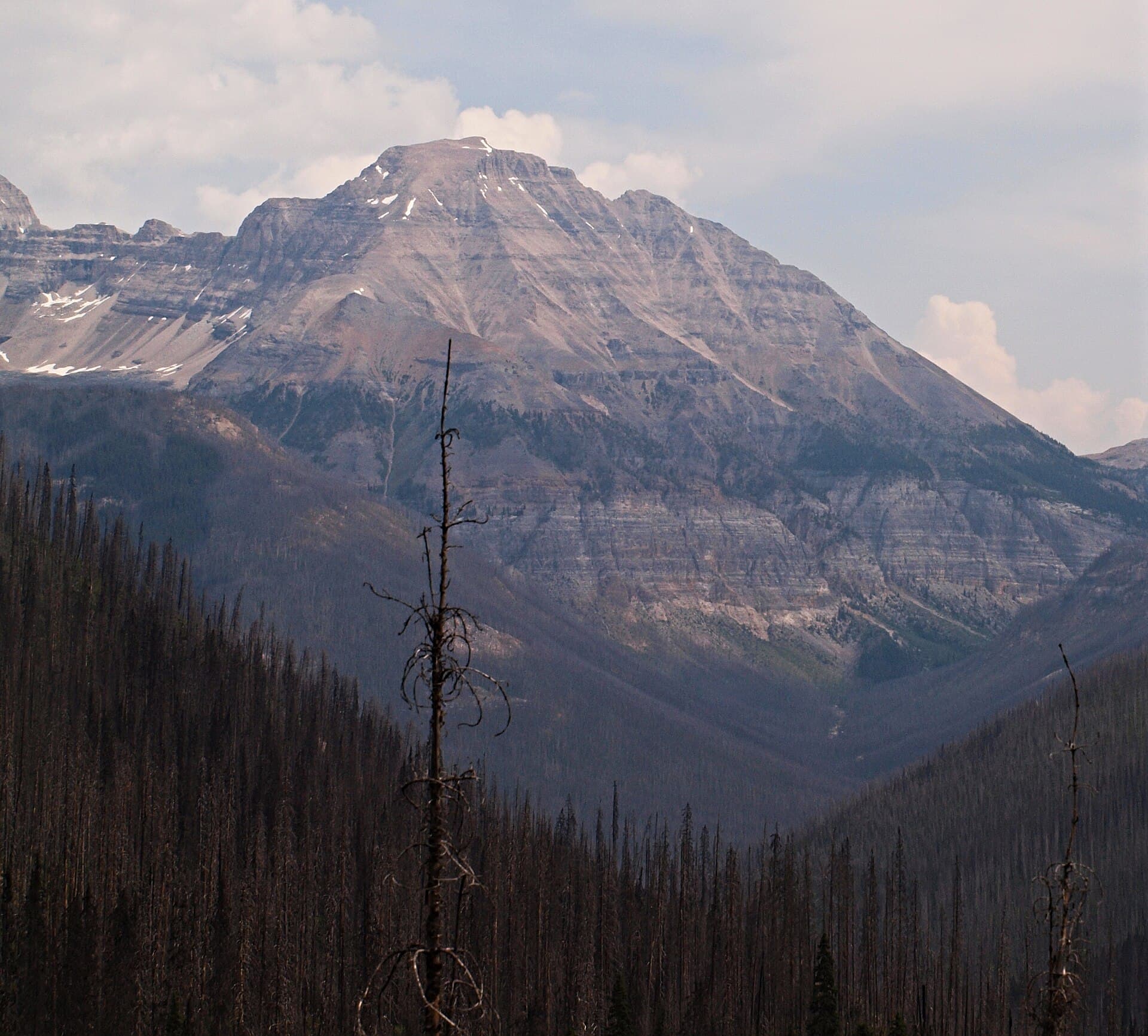
Why Isabelle Peak Stands Out
Isabelle Peak rises to 2,827 metres in the rugged core of Kootenay National Park, offering hikers a relatively uncrowded alternative to the busier summits near Banff. Its position above the Simpson River valley provides 360-degree panoramas that include the sharp profile of Mount Assiniboine on clear days and the layered limestone ridges of the Vermilion Range. The mountain’s isolation and steep approach create a genuine sense of wilderness even though the trailhead sits only minutes from the Trans-Canada Highway.
Getting There
Access begins at the Simpson River trailhead on Highway 93, roughly 26 kilometres north of the park’s southern gate. From the parking area, hikers follow the Simpson River trail for several kilometres before branching onto an unmaintained climber’s path that ascends through forest and open meadows toward the peak’s south ridge. A high-clearance vehicle is useful for the final approach road, though most standard cars can reach the official trailhead. No shuttle services operate here, so visitors should plan on driving themselves or arranging a return pickup.
Best Time to Visit
The optimal window runs from early July through mid-September, when snow has cleared from the upper slopes and daytime temperatures remain comfortable for exertion. Early-season attempts often encounter lingering cornices on the final ridge, while October brings the first heavy snows that close the route until the following summer. Afternoon thunderstorms are common in July and August, so starting before dawn helps avoid lightning exposure on the exposed summit.
Routes and What to Expect
The standard route follows the south ridge after leaving the Simpson River valley. The trail is faint in places and requires route-finding skills across boulder fields and steep scree. Most parties take six to eight hours round-trip, with the final 200 vertical metres demanding hands-on scrambling. No technical climbing gear is required in summer, but a helmet is recommended because of loose rock. The summit itself is broad enough for a relaxed lunch with views stretching from the Kootenay River to the distant Purcells.
Nearby Attractions
After descending, many visitors continue north on Highway 93 to the Paint Pots or Marble Canyon for shorter interpretive walks. Those with extra time can drive to Radium Hot Springs for a soak or explore the quieter western shore of Lake Minnewanka on the Alberta side of the divide. The entire corridor forms part of the larger Kootenay–Banff ecosystem, so wildlife sightings of elk, bighorn sheep, and grizzly bears are possible throughout the day.