Discovering the Fortymile River
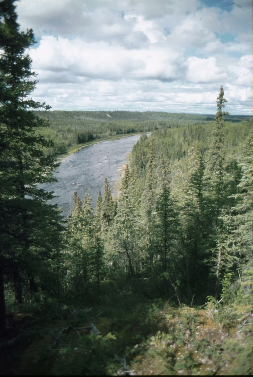
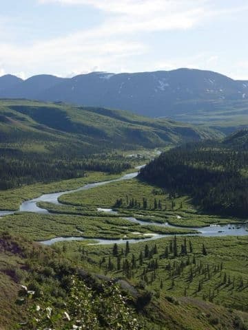
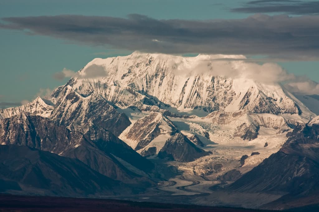
The Fortymile River drains a vast, roadless corner of Alaska’s Interior, offering paddlers and anglers a rare chance to experience the same remote waterways that sparked the Klondike Gold Rush. Its clear waters tumble from the rugged mountains near the Canadian border before joining the Yukon River near the historic outpost of Eagle. The river’s name comes from its distance—forty miles—from an early trading post on the Yukon.
Gold Rush History Along the Banks
Prospectors first struck gold on the Fortymile in 1886, drawing thousands of miners years before the famous Klondike rush. Remnants of their camps, including old cabins and mining equipment, still dot the riverbanks. Visitors floating the upper sections can stop at preserved sites that illustrate the harsh life of early gold seekers. The river corridor forms part of the larger Yukon-Charley Rivers National Preserve, protecting both cultural heritage and pristine habitat.
Activities on the Water and Shore
Rafting and canoeing dominate summer visits. The river offers Class I to III rapids suitable for intermediate paddlers, with longer sections requiring multi-day trips and careful planning for remote conditions. Anglers target Chinook and chum salmon in season, as well as Arctic grayling and northern pike. Shore hikes lead to alpine ridges with sweeping views, while careful observers may spot moose, caribou, or grizzly bears. Birders watch for raptors and migratory waterfowl along the wetlands.
Access and Logistics
Most travelers reach the river via the Taylor Highway to the town of Chicken, then continue to put-ins near the river’s upper reaches. Some charter flights from Fairbanks or Eagle provide access to more distant trailheads. Float trips typically end at Eagle, where the river meets the Yukon. Because the area is remote, visitors must be self-sufficient with all supplies, navigation tools, and emergency communication.
Best Time to Visit
June through early September offers the most reliable conditions for floating and fishing, with long daylight hours and ice-free water. Early season brings higher water and cooler temperatures, while late summer offers calmer flows and abundant berries. Winter travel is possible only for experienced backcountry users on snowmachines or skis.
Nearby Destinations
After a Fortymile trip, many continue to the historic village of Eagle for its preserved buildings and riverfront views. The Taylor Highway also connects to the Top of the World Highway, offering dramatic alpine scenery into Canada. The broader preserve protects additional rivers and mountains worth exploring on extended journeys.