Skip to content
Plan & Tour
DestinationsItinerariesTravel BlogAboutContact
0Sign inPlan a trip
Plan & TourPlan & Tour

Travel guides, destination inspiration and curated itineraries for Canada, the USA and beyond, plus a free tool to plan your own day-by-day trip.

Get travel inspiration

Explore

  • All Destinations
  • Curated Itineraries
  • Travel Blog
  • Plan a Trip

Topics

  • Hiking & Nature
  • Food & Drink
  • City Breaks
  • Budget Travel

Company

  • About Us
  • Contact
  • Privacy Policy
  • Terms of Service

© 2026 Plan & Tour. Built for travellers.

Discover the world, one trip at a time.

Tata Sabaya: Hiking Bolivia’s Remote Andean Volcano in Oruro
  1. Home
  2. Destinations
  3. Oruro Department
  4. Tata Sabaya: Hiking Bolivia’s Remote Andean Volcano in Oruro
Mountain

Tata Sabaya: Hiking Bolivia’s Remote Andean Volcano in Oruro

A dormant stratovolcano rising from the Altiplano offers stark high-altitude scenery and solitude few travelers reach.

Oruro DepartmentUpdated 11 October 2026

Why Tata Sabaya Stands Out

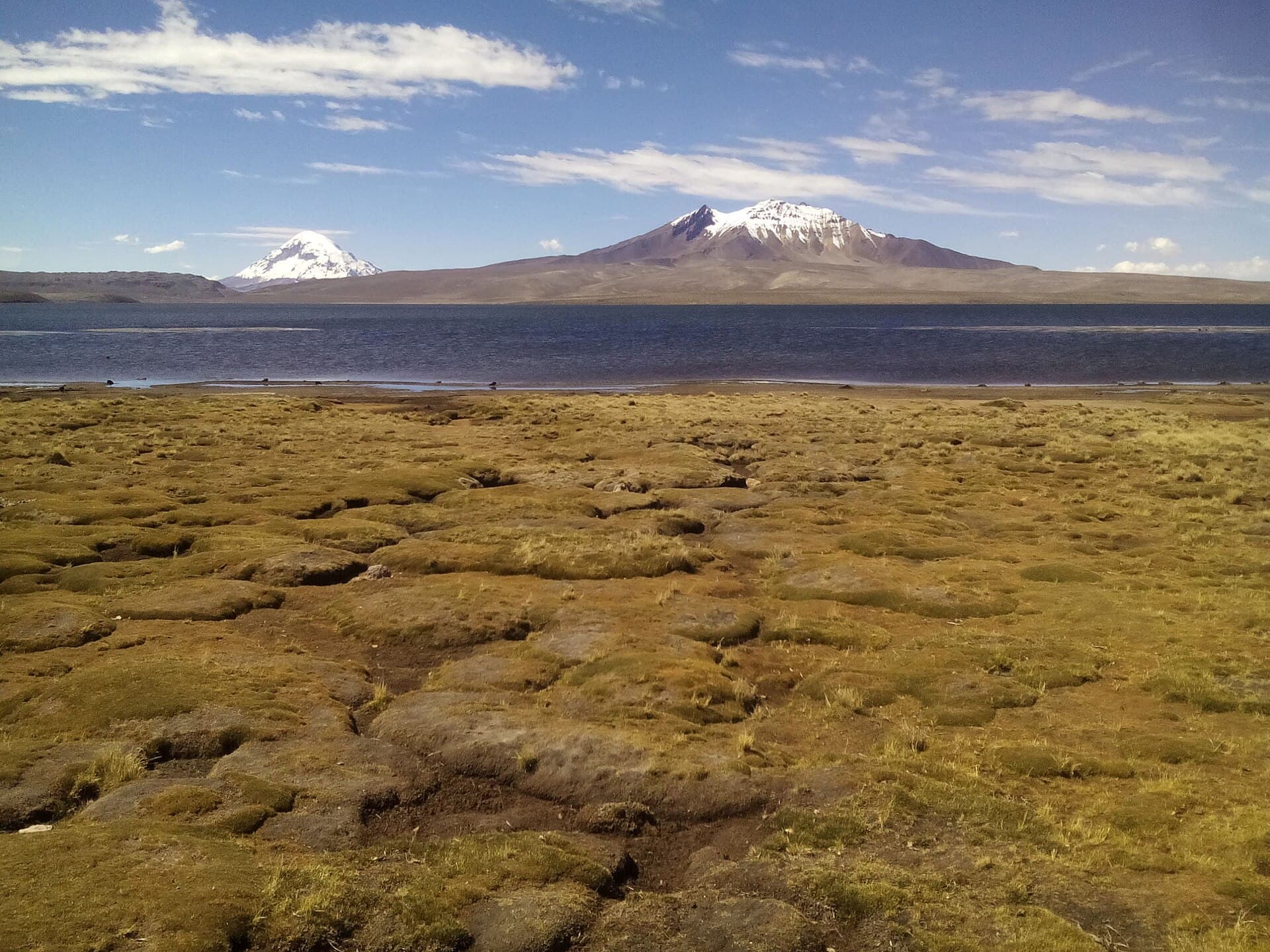
Tata Sabaya rises as an isolated stratovolcano on the Bolivian Altiplano, its dark slopes contrasting with the pale salt flats and distant snow peaks of the western Andes. At roughly 5,400 meters, the mountain rewards visitors with sweeping views across the Sajama region and the shimmering surface of Salar de Coipasa. Its remote location keeps crowds away, making it ideal for travelers seeking genuine wilderness rather than developed trails.

Getting There

Most journeys begin in the city of Oruro. Travelers continue by shared 4×4 or private transfer southwest along the road toward the Chilean border, passing through small Aymara communities. The final approach requires a high-clearance vehicle to reach the base near the village of Sabaya. From there, hikers follow faint paths or open slopes toward the crater rim; no marked trails exist, so local guidance or GPS is essential. Allow a full day for the drive and another for the ascent and return.

Best Time to Visit

The dry season from May through October brings stable weather and clearer skies for long-distance views. Afternoon winds can still be strong, so start hikes at dawn. November to April brings occasional rain and snow at elevation, making roads muddy and the upper slopes slippery.

What to See and Do

The primary activity is the non-technical hike to the summit crater. Along the way, hikers pass ancient lava flows and can spot vicuñas grazing on the lower slopes. At the rim, the panorama includes the white expanse of Salar de Coipasa to the east and the twin cones of Parinacota and Pomerape on the horizon. Photographers favor the golden light at sunrise and sunset when the volcano’s shadow stretches dramatically across the plain. Birders may glimpse Andean flamingos at nearby highland lakes during the approach drive.

Practical Considerations for the Ascent

  • Altitude acclimatization in Oruro or Sajama village for at least two nights is strongly recommended.
  • Carry plenty of water; no reliable sources exist above the base.
  • Wear layers for rapid temperature swings and strong UV exposure.

Nearby Attractions

Combine the visit with Sajama National Park to the north, where hot springs and the world’s highest forest of queñua trees provide contrast to the barren volcanic landscape. Southward, the vast Salar de Coipasa offers salt-flat walks and flamingo sightings. The colonial town of Sabaya itself features a small church and market where travelers can meet local herders.

Visitor tips

  • Acclimatize gradually in Oruro before attempting the summit to reduce altitude sickness risk.
  • Hire a local driver with a 4x4; standard vehicles cannot reliably reach the trailhead.
  • Pack extra fuel, food, and a satellite communicatoru2014cell coverage is nonexistent beyond Sabaya village.

Frequently asked questions

How difficult is the hike up Tata Sabaya?+

The route is a steep but non-technical walk on loose volcanic scree; most fit hikers complete the round trip in 6u20138 hours from the base.

Do I need a guide or permit to climb Tata Sabaya?+

No formal permit is required, but hiring a local guide from Sabaya is advisable for navigation and safety on the unmarked slopes.

What wildlife might I see around the mountain?+

Vicuu00f1as, vizcachas, and Andean foxes are commonly spotted on the lower slopes; flamingos frequent saline lakes nearby during the approach.

Is camping possible near Tata Sabaya?+

Basic wild camping is feasible at the base; bring all supplies as no facilities exist and temperatures drop sharply at night.

Can Tata Sabaya be combined with Sajama National Park?+

Yes, the two sites lie within a dayu2019s drive; many visitors spend several days exploring both the volcano and the parku2019s hot springs and trails.

Share
Google Maps Apple Maps Directions

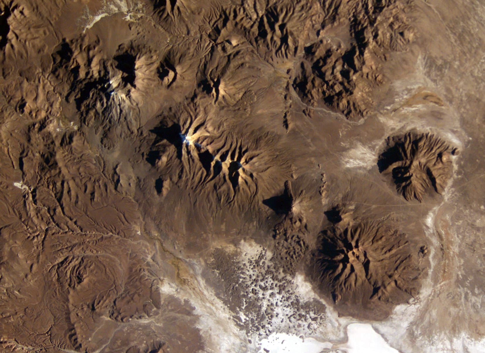
Image: Image Science and Analysis Laboratory, NASA-Johnson Space Center · Public domain · via Wikimedia Commons

Keep reading

Nearby & related

All stories
C
Oruro Department

Cosapilla River: Bolivia’s Remote Andean Highland Stream

A high-altitude river valley in Oruro Department offering stark volcanic scenery and quiet access to Bolivia’s western…

12 October 2026
J
Oruro Department

Jach’a Ch’ankha: Trekking Bolivia’s Remote Andean Summit in Oruro

Experience solitude, sweeping Altiplano views, and high-altitude adventure on this lesser-known peak in Bolivia’s Oruro…

12 October 2026
K’isi K’isini: Bolivia’s Remote Andean Volcano for Adventurous Hikers
Oruro Department

K’isi K’isini: Bolivia’s Remote Andean Volcano for Adventurous Hikers

Explore the stark volcanic landscapes and high-altitude trails of this striking peak in Oruro Department.

12 October 2026