
Skip to content
Plan & Tour
DestinationsItinerariesTravel BlogAboutContact
0Sign inPlan a trip
Plan & TourPlan & Tour

Travel guides, destination inspiration and curated itineraries for Canada, the USA and beyond, plus a free tool to plan your own day-by-day trip.

Get travel inspiration

Explore

  • All Destinations
  • Curated Itineraries
  • Travel Blog
  • Plan a Trip

Topics

  • Hiking & Nature
  • Food & Drink
  • City Breaks
  • Budget Travel

Company

  • About Us
  • Contact
  • Privacy Policy
  • Terms of Service

© 2026 Plan & Tour. Built for travellers.

Discover the world, one trip at a time.

T
  1. Home
  2. Destinations
  3. Chattogram Division
  4. Tailang Taung: Trekking Bangladesh’s Remote Chittagong Hill Peaks
Mountain

Tailang Taung: Trekking Bangladesh’s Remote Chittagong Hill Peaks

Discover hiking trails, sweeping views, and quiet indigenous villages on this lesser-known mountain in Chattogram Division.

Chattogram DivisionUpdated 26 September 2026

Why Tailang Taung Stands Out

Tailang Taung rises in the southern reaches of Chattogram Division, offering trekkers a quieter alternative to the busier spots around Bandarban and Rangamati. Its slopes carry dense forest cover and occasional clearings that frame long views toward the Myanmar border hills. The mountain rewards steady climbers with layered ridges and the chance to observe local flora and birdlife without crowds.

Getting There

Most visitors start from Cox’s Bazar or the Bandarban district town. Shared jeeps or local buses reach the foothills along the main road that skirts the Naf River valley. From the drop-off point, travelers arrange a local guide and begin the ascent on foot; the route passes through mixed bamboo and hardwood forest before opening onto higher ridges. Four-wheel-drive vehicles can handle the lower sections in dry months, but the final approach is always on trail.

Best Time to Visit

The cooler, drier months from November through February bring the clearest skies and firm trails. March and April remain workable but grow warmer. The June-to-October monsoon period turns paths slippery and raises the risk of landslides, so most trekkers avoid those months entirely.

Trails and Activities

A full-day round trip from the trailhead reaches the main summit area. Along the way hikers pass small settlements of the local Marma and Chakma communities, where simple tea stalls offer basic refreshment. Birdwatchers scan for hornbills and hill mynas; photographers focus on the layered ridge lines at sunrise. Overnight camping is possible on cleared terraces near the upper slopes, though visitors must carry all supplies and follow leave-no-trace practices.

Nearby Places Worth Adding

  • The Naf River estuary for boat excursions and mangrove edges.
  • Smaller hill viewpoints along the same road corridor toward Teknaf.
  • Coastal stretches of Inani Beach if returning via Cox’s Bazar.

Combining a dawn start at Tailang Taung with an afternoon return to the coast creates a balanced two-day itinerary for most travelers.

Visitor tips

  • Hire a local guide from the nearest village; trails are unmarked and cell coverage is limited.
  • Carry at least three liters of water per person and simple snacks, as there are no facilities above the lower slopes.
  • Pack a lightweight rain jacket even in the dry season; sudden hill showers can occur.
  • Respect village customs by asking permission before photographing people or entering private land.

Frequently asked questions

How difficult is the hike to the summit of Tailang Taung?+

The route is moderate for fit walkers, with steady elevation gain but no technical climbing. Allow six to eight hours for a round trip from the trailhead.

Do I need a permit to visit Tailang Taung?+

Foreign visitors usually require a permit for the Chittagong Hill Tracts; arrange this through a registered tour operator in Coxu2019s Bazar or Bandarban before departure.

Is camping allowed on the mountain?+

Simple overnight camping is possible on cleared terraces with a guideu2019s approval, but visitors must bring all gear and water and practice strict leave-no-trace rules.

What should I wear and pack for a day hike?+

Sturdy trail shoes, long sleeves for sun and insects, a hat, sunscreen, and at least three liters of water per person are essential; add a light jacket for wind on the ridges.

Are there any villages or facilities along the way?+

Small Marma and Chakma settlements lie on the lower slopes where basic tea is sometimes available, but there are no shops or lodgings higher up the mountain.

Share
Google Maps Apple Maps Directions

Keep reading

Nearby & related

All stories
T
Chattogram Division

Tangiodaung: Trekking Bangladesh’s Remote Chattogram Mountain

A quiet summit in the Chittagong Hill Tracts offering sweeping views, forest trails, and a glimpse of indigenous hill…

26 September 2026
K
Chattogram Division

Kongkoni Taung: Trekking the Remote Peaks of Bangladesh’s Chittagong Hill Tracts

Discover the rugged trails, sweeping views, and indigenous cultures that define this lesser-known mountain in Chattogram…

26 September 2026
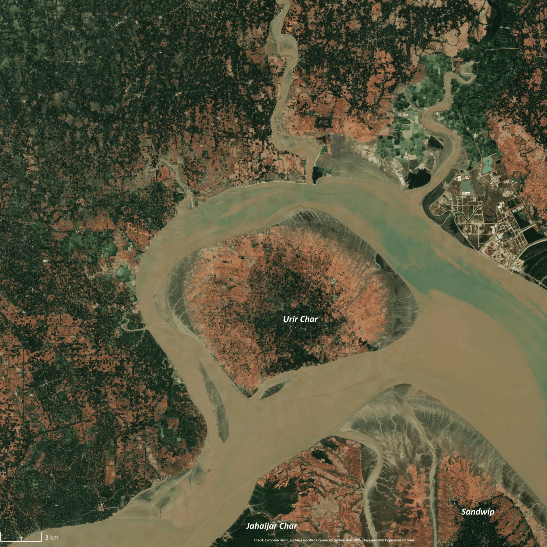
Urir Char: Bangladesh’s Remote Island Escape in Chattogram
Chattogram Division

Urir Char: Bangladesh’s Remote Island Escape in Chattogram

Experience the quiet beaches, fishing villages, and natural landscapes of Urir Char, a silt-formed island in the Bay of…

24 September 2026