Skip to content
Plan & Tour
DestinationsItinerariesTravel BlogAboutContact
0Sign inPlan a trip
Plan & TourPlan & Tour

Travel guides, destination inspiration and curated itineraries for Canada, the USA and beyond, plus a free tool to plan your own day-by-day trip.

Get travel inspiration

Explore

  • All Destinations
  • Curated Itineraries
  • Travel Blog
  • Plan a Trip

Topics

  • Hiking & Nature
  • Food & Drink
  • City Breaks
  • Budget Travel

Company

  • About Us
  • Contact
  • Privacy Policy
  • Terms of Service

© 2026 Plan & Tour. Built for travellers.

Discover the world, one trip at a time.

K
  1. Home
  2. Destinations
  3. Chattogram Division
  4. Kongkoni Taung: Trekking the Remote Peaks of Bangladesh’s Chittagong Hill Tracts
Mountain

Kongkoni Taung: Trekking the Remote Peaks of Bangladesh’s Chittagong Hill Tracts

Discover the rugged trails, sweeping views, and indigenous cultures that define this lesser-known mountain in Chattogram Division.

Chattogram DivisionUpdated 26 September 2026

Why Kongkoni Taung Stands Out

Kongkoni Taung rises in the southern reaches of the Chittagong Hill Tracts, offering trekkers a quieter alternative to more crowded peaks. Its slopes support dense mixed forest, seasonal wildflowers, and clear streams that feed into the nearby Sangu River watershed. The mountain’s isolation has helped preserve both biodiversity and the traditional practices of the Marma and Mru communities who live on its lower flanks.

Reaching the Trailhead

Most visitors begin in Bandarban town, then continue by local jeep or hired pickup along the winding road toward Thanchi. From the last road-accessible village, a footpath leads upward through bamboo groves and small hamlets. The approach requires at least one overnight stop in a village guesthouse or homestay, as the final ascent is best started at first light.

Best Season for the Climb

November through February brings the clearest skies and firmest trails. Monsoon months turn paths slippery and increase the risk of landslides, while April and May can be uncomfortably hot even at elevation. Winter nights at higher camps are cool, so layered clothing is essential.

Routes and Highlights

The standard route follows a ridgeline that opens onto several natural viewpoints. On clear days the distant Bay of Bengal is visible to the west, while to the east the Myanmar border hills form a hazy horizon. Side trails lead to small waterfalls and terraced fields where farmers grow rice, ginger, and turmeric. Photographers often pause at a granite outcrop roughly two-thirds of the way up for sunrise shots across the valley.

Respecting Local Communities

Many villages along the approach maintain customary governance. Visitors are expected to ask permission before photographing people or entering sacred groves. Purchasing produce directly from farmers and hiring local porters supports the economy without disrupting traditional livelihoods.

Preparation Essentials

  • Carry sufficient water and a water filter; streams are reliable but should be treated.
  • Pack a lightweight tent or arrange village homestays in advance through Bandarban tour operators.
  • Strong footwear with good grip is necessary on steep, rocky sections.

Visitor tips

  • Hire a local guide from the nearest Marma or Mru village to navigate unmarked sections and explain cultural protocols.
  • Carry extra cash in small denominations; ATMs are unavailable beyond Bandarban town.
  • Check current access restrictions with the Bandarban district administration before departure, as occasional security measures affect the hill tracts.

Frequently asked questions

How difficult is the trek to Kongkoni Taung?+

The route is strenuous due to elevation gain and uneven terrain, but it does not require technical climbing skills. Fit walkers usually complete the round trip in two to three days.

Do I need a permit to visit Kongkoni Taung?+

Foreign visitors require a travel permit for the Chittagong Hill Tracts; these are issued in Dhaka or at the Bandarban district office and must be carried at all times.

Are there places to stay near the mountain?+

Basic village homestays and a few simple guesthouses exist along the lower trails. Most trekkers carry camping gear for the upper slopes.

What wildlife might I encounter?+

Birds such as hornbills and barbets are common; small mammals including civets and barking deer are occasionally sighted at dawn or dusk.

Can I combine a visit with other nearby sites?+

Yes. Many travelers continue to Nafakhum waterfall or the Sangu River rapids after descending, both reachable from the same road corridor.

Share
Google Maps Apple Maps Directions

Keep reading

Nearby & related

All stories
T
Chattogram Division

Tangiodaung: Trekking Bangladesh’s Remote Chattogram Mountain

A quiet summit in the Chittagong Hill Tracts offering sweeping views, forest trails, and a glimpse of indigenous hill…

26 September 2026
T
Chattogram Division

Tailang Taung: Trekking Bangladesh’s Remote Chittagong Hill Peaks

Discover hiking trails, sweeping views, and quiet indigenous villages on this lesser-known mountain in Chattogram…

26 September 2026
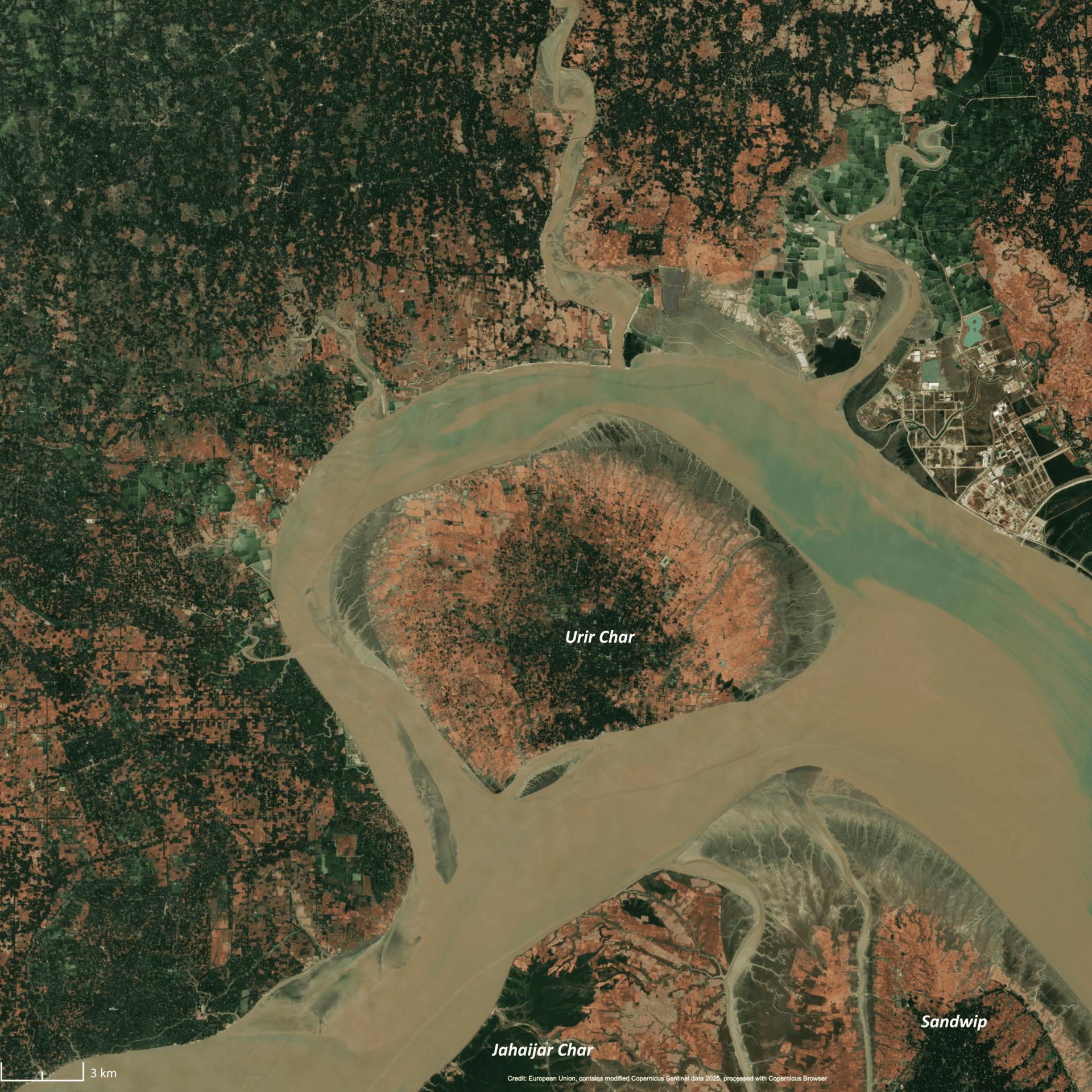
Urir Char: Bangladesh’s Remote Island Escape in Chattogram
Chattogram Division

Urir Char: Bangladesh’s Remote Island Escape in Chattogram

Experience the quiet beaches, fishing villages, and natural landscapes of Urir Char, a silt-formed island in the Bay of…

24 September 2026