
Skip to content
Plan & Tour
DestinationsItinerariesTravel BlogAboutContact
0Sign inPlan a trip
Plan & TourPlan & Tour

Travel guides, destination inspiration and curated itineraries for Canada, the USA and beyond, plus a free tool to plan your own day-by-day trip.

Get travel inspiration

Explore

  • All Destinations
  • Curated Itineraries
  • Travel Blog
  • Plan a Trip

Topics

  • Hiking & Nature
  • Food & Drink
  • City Breaks
  • Budget Travel

Company

  • About Us
  • Contact
  • Privacy Policy
  • Terms of Service

© 2026 Plan & Tour. Built for travellers.

Discover the world, one trip at a time.

Pico de las Nieves: Hiking Gran Canaria’s Highest Peak
  1. Home
  2. Destinations
  3. Las Palmas
  4. Pico de las Nieves: Hiking Gran Canaria’s Highest Peak
Mountain

Pico de las Nieves: Hiking Gran Canaria’s Highest Peak

Reach the 1,949-meter summit of Gran Canaria for sweeping island views and a rewarding climb through volcanic terrain.

Las PalmasUpdated 9 November 2026

Why Pico de las Nieves Stands Out

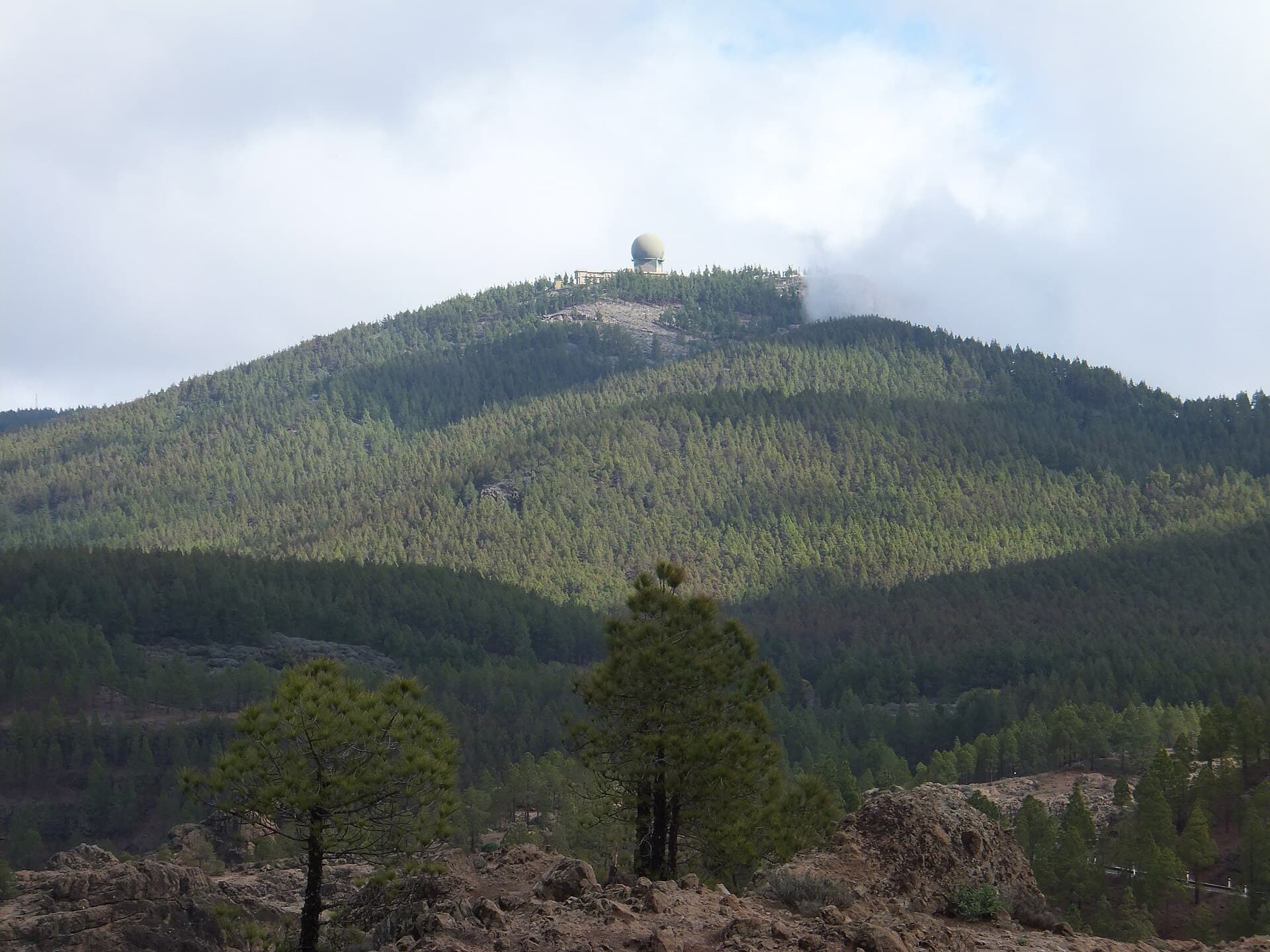
At 1,949 meters, Pico de las Nieves is the highest point on Gran Canaria and one of the tallest peaks in the Canary Islands. The mountain delivers 360-degree panoramas that stretch from the rugged interior to the distant Atlantic and neighboring islands on clear days. Its location within the protected landscape of the island’s central highlands means visitors encounter endemic plants, dramatic rock formations, and a sense of isolation rarely found near the coast.

How to Reach the Summit

Most travelers drive from Las Palmas de Gran Canaria, following the GC-15 road through the village of Tejeda before turning onto narrower mountain roads that lead to the upper slopes. The final approach involves a short, well-marked trail from a parking area near the summit. Public buses reach Tejeda, after which a taxi or organized tour can complete the journey. The route is paved until the last stretch, making it accessible for standard vehicles when weather permits.

Best Time to Visit

Spring and autumn offer the most stable conditions, with mild temperatures and lower wind. Summer brings longer daylight for extended hikes but can be hazy. Winter occasionally brings light snow or frost at the summit, transforming the landscape briefly while requiring extra caution on trails. Early morning visits reduce the chance of clouds obscuring views.

Things to See and Do

The short but steep final trail rewards hikers with a stone marker at the top and unobstructed sightlines. Photographers often linger for golden-hour light over the Caldera de Tejeda. Birdwatchers may spot laurel forest species and raptors. Nearby viewpoints along the access road provide easier alternatives for those who prefer not to hike. The mountain also serves as a gateway to longer routes connecting with Roque Nublo and other highland paths.

Nearby Attractions

  • Roque Nublo, a striking basalt monolith reachable by a moderate trail from the same highland area.
  • The village of Tejeda, known for almond groves and traditional Canarian architecture.
  • Mirador del Roque Bentayga, offering further insights into the island’s volcanic geology.
  • The central highlands’ hiking network, which links multiple peaks and valleys for multi-day exploration.

Visitor tips

  • Wear layered clothing and windproof outerwear, as temperatures drop quickly at elevation even in summer.
  • Carry plenty of water and sun protection; shade is limited above the tree line.
  • Check local weather forecasts and road conditions before driving the final mountain roads, which can close temporarily after heavy rain or snow.

Frequently asked questions

How high is Pico de las Nieves?+

The summit reaches 1,949 meters, making it the tallest point on Gran Canaria.

Is Pico de las Nieves suitable for beginners?+

The final trail is short but steep; fit walkers manage it easily, while less confident hikers can enjoy viewpoints along the access road.

Can you drive all the way to the top?+

Vehicles reach a parking area near the summit, after which a brief trail leads to the highest point.

What wildlife might I see?+

Look for endemic birds such as the blue chaffinch and various raptors soaring over the ridges.

Are there facilities at the summit?+

No services exist at the top; plan to bring all supplies and descend for refreshments.

Share
Google Maps Apple Maps Directions

Image: atu60 · CC BY-SA 3.0 · via Wikimedia Commons

Keep reading

Nearby & related
All stories
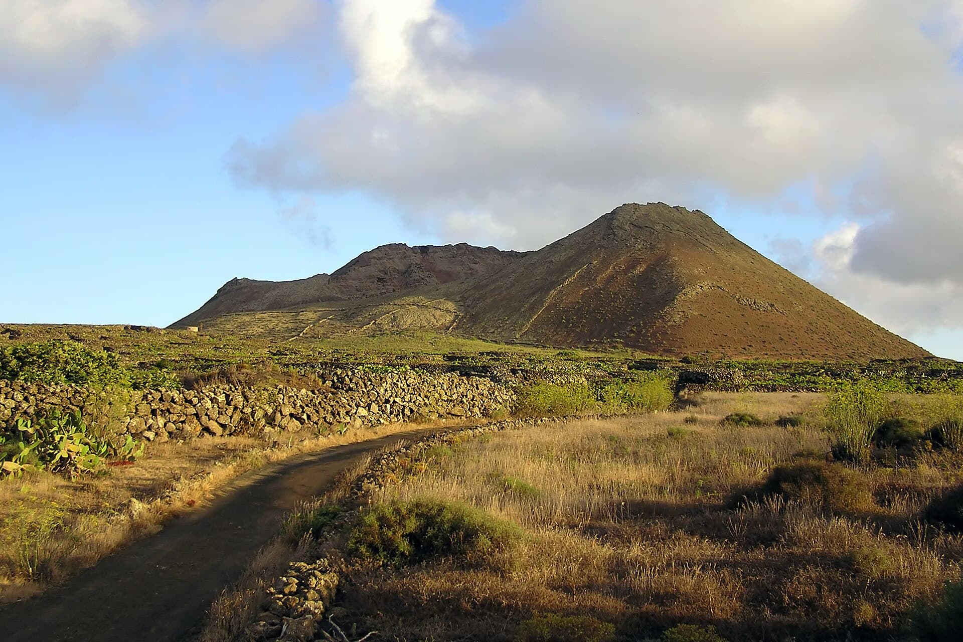
Monte Corona: Hiking Lanzarote’s Highest Volcanic Summit
Las Palmas

Monte Corona: Hiking Lanzarote’s Highest Volcanic Summit

Climb the island’s iconic 609-metre peak for sweeping Atlantic views, dramatic lava fields and a true sense of…

9 November 2026
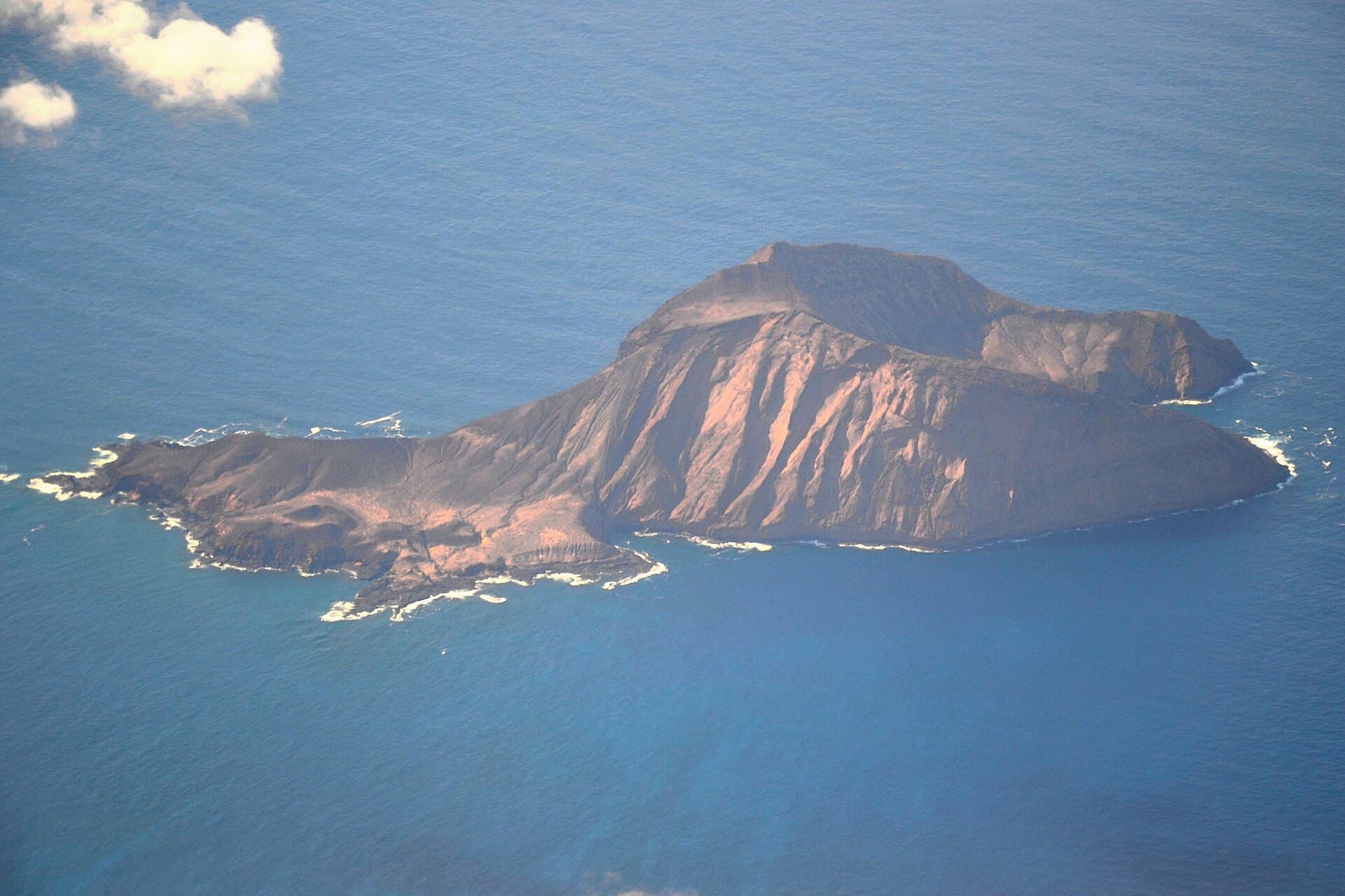
Montaña Clara: A Remote Volcanic Outpost in the Chinijo Archipelago
Las Palmas

Montaña Clara: A Remote Volcanic Outpost in the Chinijo Archipelago

Experience the stark volcanic beauty and seabird colonies of Montaña Clara, a protected uninhabited island near…

9 November 2026
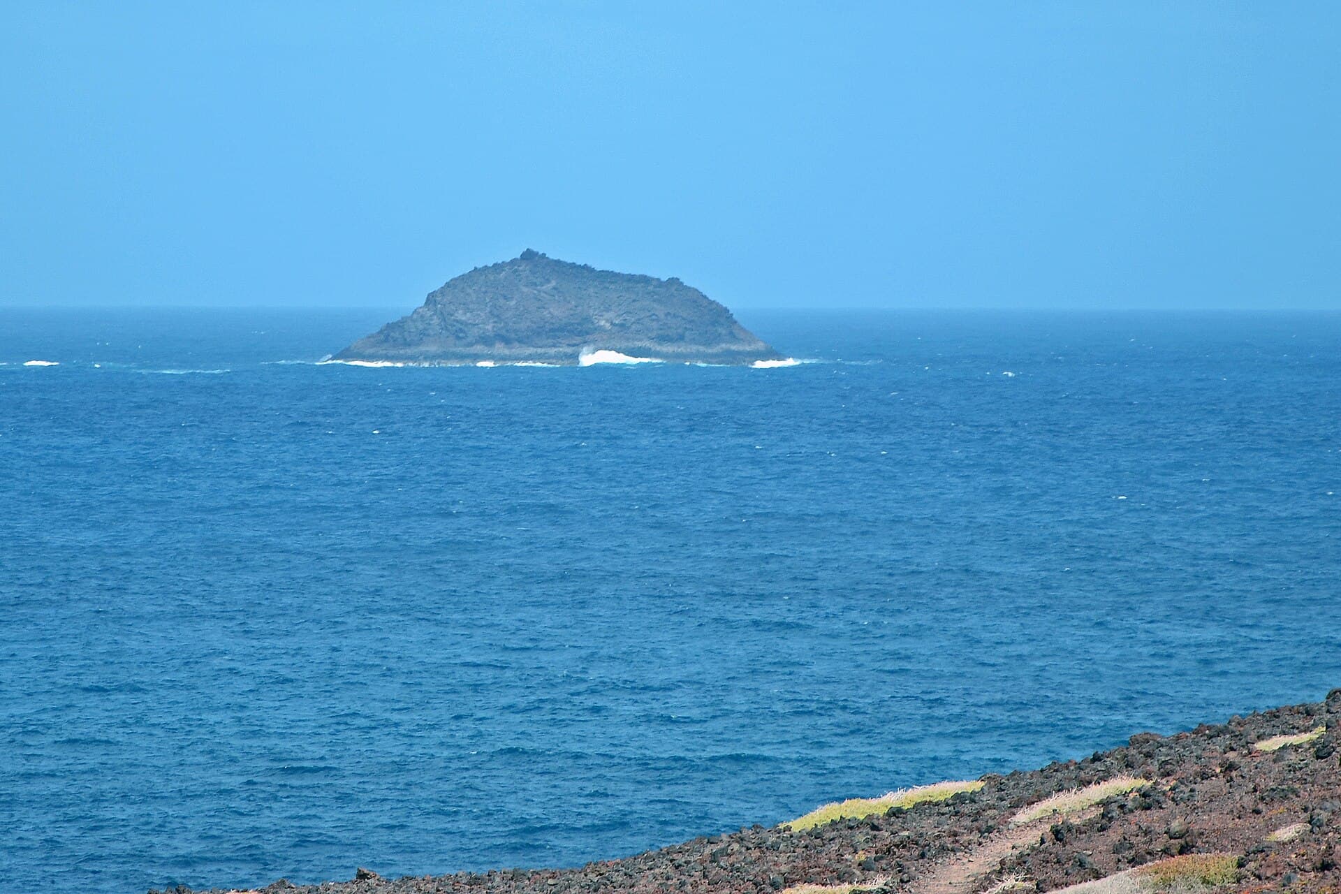
Roque del Oeste: The Remote Volcanic Islet of Lanzarote’s Chinijo Archipelago
Las Palmas

Roque del Oeste: The Remote Volcanic Islet of Lanzarote’s Chinijo Archipelago

Experience the protected marine sanctuary of Roque del Oeste from the sea on boat tours departing from Lanzarote.

8 November 2026