
Skip to content
Plan & Tour
DestinationsItinerariesTravel BlogAboutContact
0Sign inPlan a trip
Plan & TourPlan & Tour

Travel guides, destination inspiration and curated itineraries for Canada, the USA and beyond, plus a free tool to plan your own day-by-day trip.

Get travel inspiration

Explore

  • All Destinations
  • Curated Itineraries
  • Travel Blog
  • Plan a Trip

Topics

  • Hiking & Nature
  • Food & Drink
  • City Breaks
  • Budget Travel

Company

  • About Us
  • Contact
  • Privacy Policy
  • Terms of Service

© 2026 Plan & Tour. Built for travellers.

Discover the world, one trip at a time.

Monte Corona: Hiking Lanzarote’s Highest Volcanic Summit
  1. Home
  2. Destinations
  3. Las Palmas
  4. Monte Corona: Hiking Lanzarote’s Highest Volcanic Summit
Mountain

Monte Corona: Hiking Lanzarote’s Highest Volcanic Summit

Climb the island’s iconic 609-metre peak for sweeping Atlantic views, dramatic lava fields and a true sense of Lanzarote’s volcanic origins.

Las PalmasUpdated 9 November 2026

Why Monte Corona Belongs on Your Lanzarote Itinerary

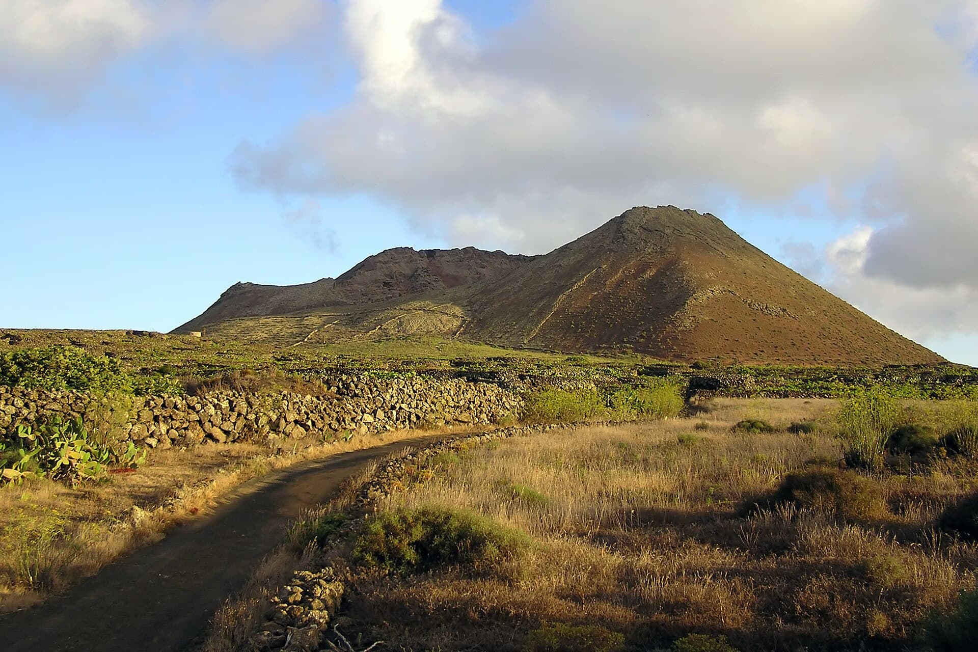
At 609 metres, Monte Corona is the highest point on Lanzarote and the centrepiece of the island’s northern volcanic landscape. Its broad, gently sloping cone rises above the Malpaís de la Corona, offering hikers unobstructed 360-degree vistas that stretch from the Atlantic to the distant silhouettes of Fuerteventura and La Graciosa. The mountain itself is an extinct volcano whose last eruption shaped the surrounding lava tubes and jameos still visited today.

Getting to the Trailhead

Most visitors drive to the small hamlet of Haría or the viewpoint parking area just south of the village of Guinate. From Arrecife the journey takes about 35 minutes via the LZ-10. Public buses reach Haría, after which a signed path leads uphill; allow an extra hour each way if relying on transport. A well-marked PR-LZ trail begins at roughly 300 metres elevation and climbs steadily through black aa lava and low scrub.

The Hike Itself

The round-trip from the main trailhead is approximately 8 km with 300 metres of elevation gain and takes two-and-a-half to four hours depending on fitness and photo stops. The path is clear but rocky; sturdy boots and trekking poles help on loose cinder. Near the summit a small stone windbreak offers shelter from the trade winds that often buffet the ridge.

Best Time to Visit

Winter and spring (November–April) bring cooler temperatures and clearer air for long-distance views. Summer hikes are possible but start at dawn to avoid midday heat and strong sun on the exposed slopes. After rain the volcanic soil can become slippery, so check the forecast and avoid the mountain on stormy days.

What to See and Do Nearby

  • Descend into the lava tube system at Cueva de los Verdes, formed by the same eruptive phase that built Monte Corona.
  • Visit the dramatic Jameos del Agua, where seawater fills a collapsed section of the tube.
  • Explore the artisan village of Haría with its palm groves and weekly market.
  • Continue north to the Mirador del Río for sweeping views across the strait to La Graciosa.

Combining the hike with these sites creates a full-day northern Lanzarote circuit without retracing roads.

Visitor tips

  • Carry at least two litres of water per person; there are no refill points on the trail.
  • Wear layers and a windproof jacketu2014the summit is often 5u20138 u00b0C cooler and windier than the coast.
  • Park only in designated areas near Guinate or Haru00eda to avoid blocking narrow local roads.

Frequently asked questions

How difficult is the hike to the summit of Monte Corona?+

The trail is moderate for most walkers with good fitness; the main challenge is loose volcanic rock rather than steepness.

Can I drive to the top of Monte Corona?+

No vehicle access exists beyond the lower trailheads; the final section must be completed on foot.

Is Monte Corona suitable for children?+

Older children accustomed to hiking can manage the route, but the rocky terrain and exposure make it less ideal for very young kids.

Are there facilities at the summit?+

There is only a small windbreak; plan to carry all supplies including snacks and sufficient water.

What should I wear for a Monte Corona hike?+

Sturdy hiking boots, sun protection, and windproof clothing are essential; trekking poles are helpful on loose scree.

Share
Google Maps Apple Maps Directions

Image: Yummifruitbat · CC BY-SA 2.5 · via Wikimedia Commons

Keep reading

Nearby & related
All stories
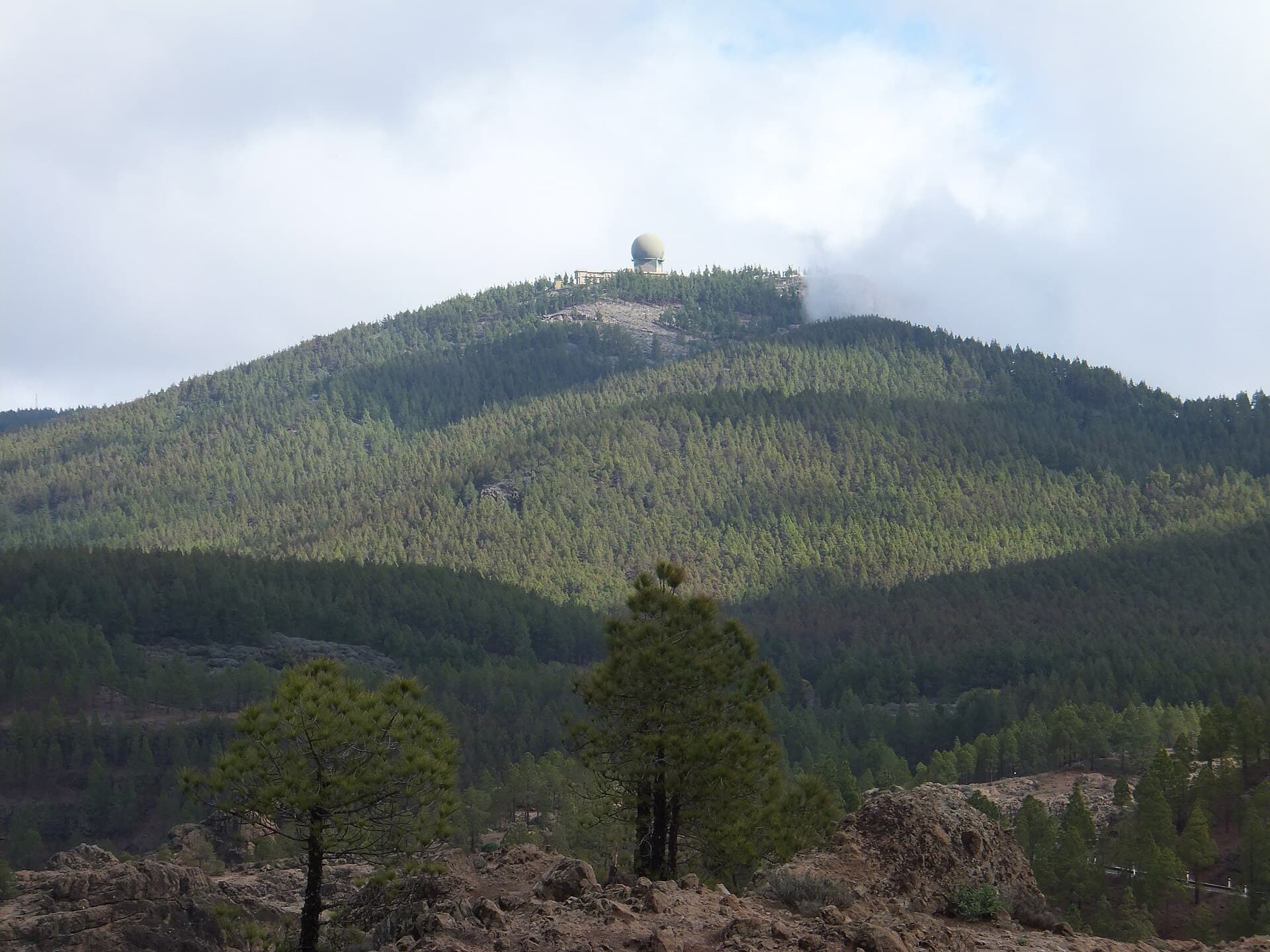
Pico de las Nieves: Hiking Gran Canaria’s Highest Peak
Las Palmas

Pico de las Nieves: Hiking Gran Canaria’s Highest Peak

Reach the 1,949-meter summit of Gran Canaria for sweeping island views and a rewarding climb through volcanic terrain.

9 November 2026
Montaña Clara: A Remote Volcanic Outpost in the Chinijo Archipelago
Las Palmas

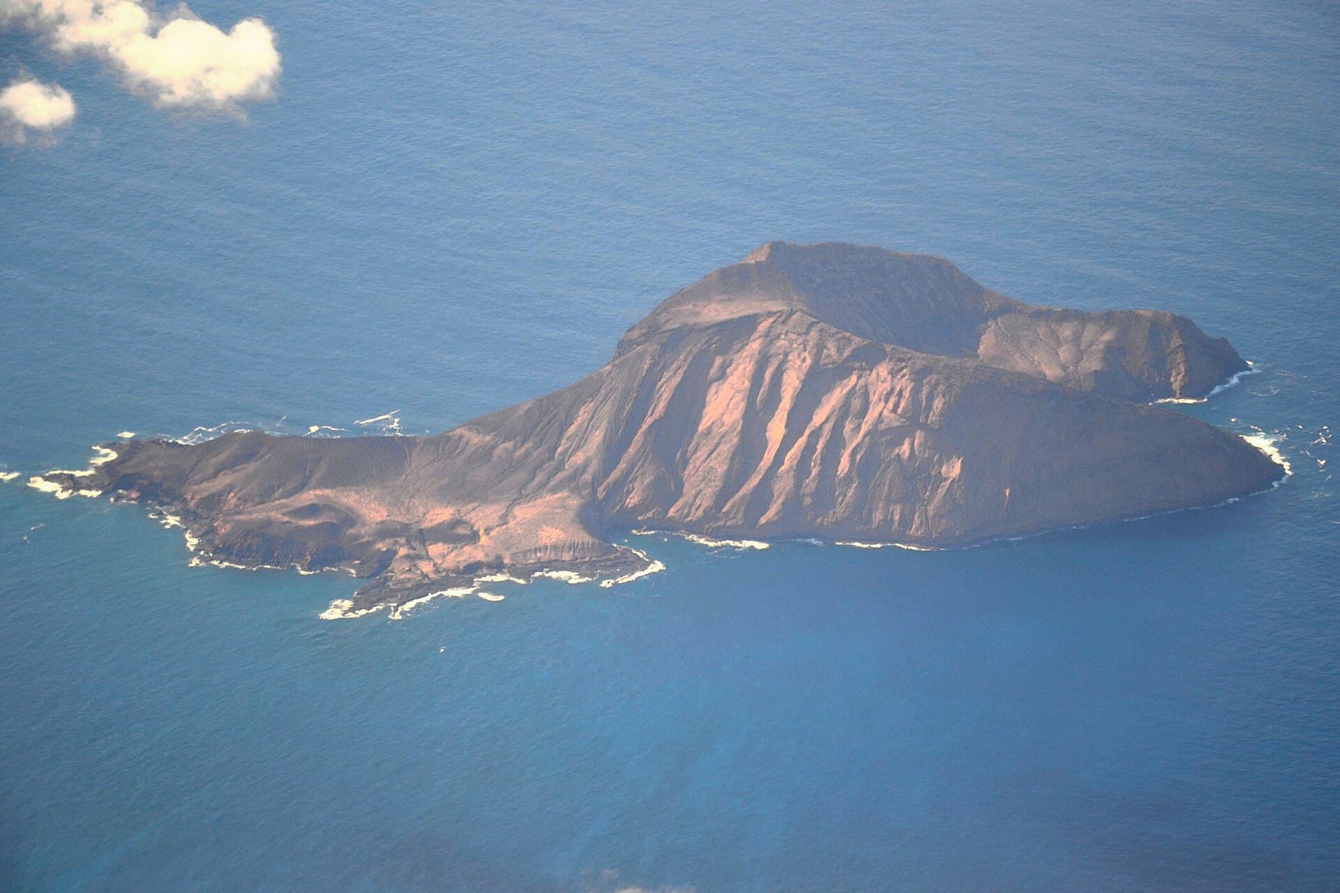
Montaña Clara: A Remote Volcanic Outpost in the Chinijo Archipelago

Experience the stark volcanic beauty and seabird colonies of Montaña Clara, a protected uninhabited island near…

9 November 2026
Roque del Oeste: The Remote Volcanic Islet of Lanzarote’s Chinijo Archipelago
Las Palmas

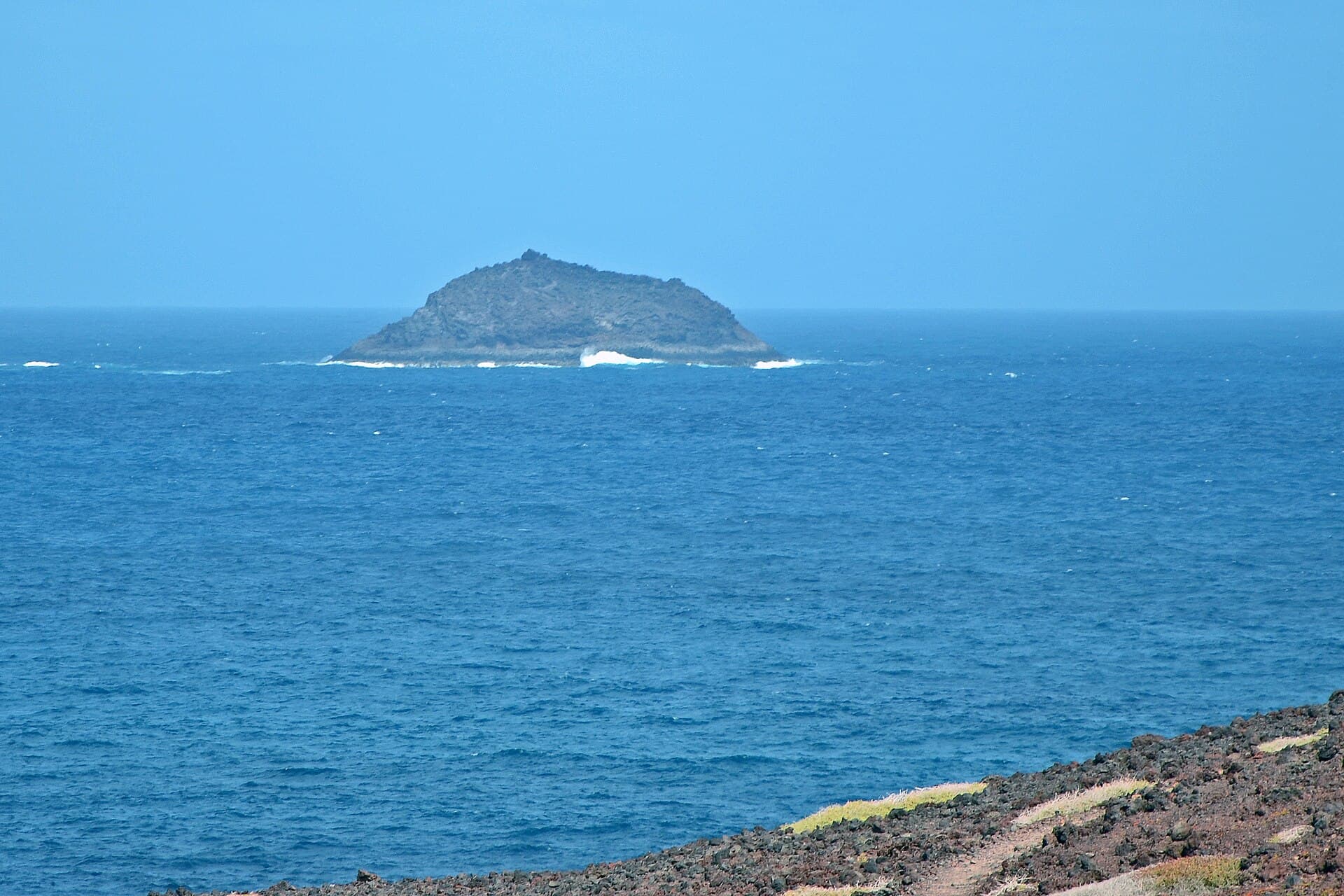
Roque del Oeste: The Remote Volcanic Islet of Lanzarote’s Chinijo Archipelago

Experience the protected marine sanctuary of Roque del Oeste from the sea on boat tours departing from Lanzarote.

8 November 2026