Skip to content
Plan & Tour
DestinationsItinerariesTravel BlogAboutContact
0Sign inPlan a trip
Plan & TourPlan & Tour

Travel guides, destination inspiration and curated itineraries for Canada, the USA and beyond, plus a free tool to plan your own day-by-day trip.

Get travel inspiration

Explore

  • All Destinations
  • Curated Itineraries
  • Travel Blog
  • Plan a Trip

Topics

  • Hiking & Nature
  • Food & Drink
  • City Breaks
  • Budget Travel

Company

  • About Us
  • Contact
  • Privacy Policy
  • Terms of Service

© 2026 Plan & Tour. Built for travellers.

Discover the world, one trip at a time.

Petitot River: Wilderness Paddling in Northern British Columbia
  1. Home
  2. Destinations
  3. British Columbia
  4. Petitot River: Wilderness Paddling in Northern British Columbia
River

Petitot River: Wilderness Paddling in Northern British Columbia

Experience remote boreal wilderness, fishing, and solitude on the Petitot River near the BC-NWT border.

British ColumbiaUpdated 1 July 2026

Discovering the Petitot River

The Petitot River drains a vast, roadless expanse of boreal forest and wetlands in northeastern British Columbia. It begins in the foothills west of the Horn Plateau and flows eastward, crossing into Alberta and the Northwest Territories before joining the Liard River system. This remote waterway offers visitors a true frontier experience with minimal infrastructure and abundant wildlife.

Why This River Stands Out

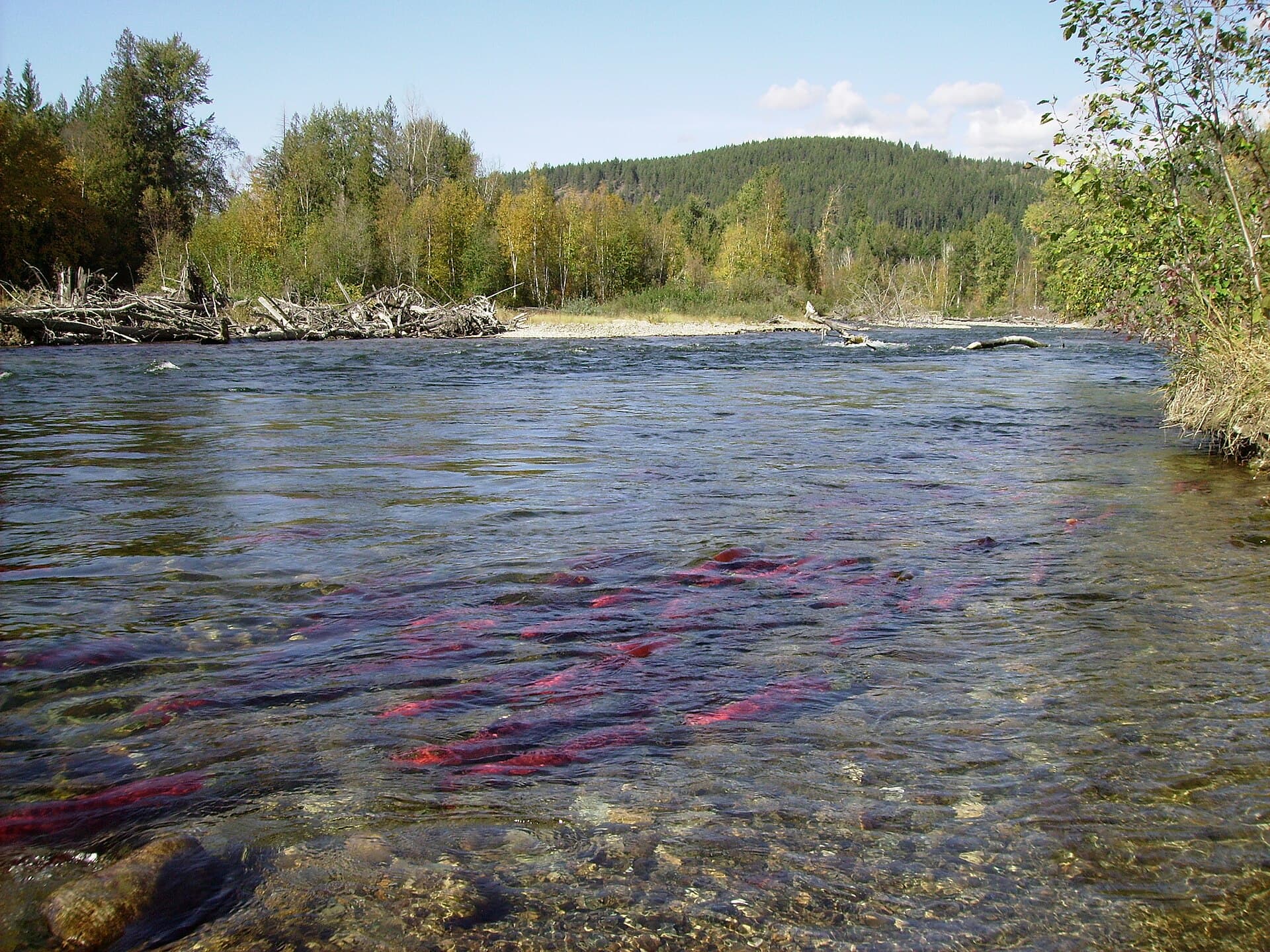
Unlike more accessible southern rivers, the Petitot remains largely untouched. Travelers encounter dense spruce and tamarack forests, expansive muskeg, and frequent sightings of moose, black bears, and migratory birds. The river’s tea-colored water supports northern pike, walleye, and Arctic grayling, making it a destination for serious anglers seeking uncrowded fishing.

Getting There

Access begins from Fort Nelson, the nearest major hub with an airport and fuel. Travelers continue north on the Alaska Highway to the Petitot River bridge crossing near the community of Prophet River. From there, experienced paddlers launch canoes or kayaks for multi-day trips downstream. Float-plane charters from Fort Nelson or Fort Simpson provide drop-offs at upstream lakes for those seeking longer wilderness routes. Four-wheel-drive vehicles are essential on any side roads.

Best Time to Visit

July and August offer the most reliable water levels and longest daylight for paddling and fishing. Early September brings cooler temperatures and fewer insects but shorter days. Winter travel is possible only by snowmobile or ski, and spring breakup creates dangerous ice conditions.

Activities Along the River

  • Canoe and kayak touring: Multi-day trips reveal changing scenery from narrow forested channels to wider, slower sections ideal for spotting wildlife.
  • Fishing: Cast for pike and grayling from shore or boat; catch-and-release is encouraged to maintain the fishery.
  • Wildlife viewing: Quiet paddlers often observe moose feeding in shallows and beaver activity along the banks.
  • Camping: Gravel bars and forested benches provide dispersed campsites; visitors must practice strict Leave No Trace principles.

Nearby Destinations

The Liard River offers a natural continuation for extended paddling trips. To the west, the Northern Rocky Mountains Provincial Park provides hiking and hot springs accessible by vehicle from the Alaska Highway. Travelers often combine a Petitot journey with visits to Fort Nelson’s heritage sites or the dramatic scenery of the Alaska Highway corridor.

Visitor tips

  • Carry satellite communication and file a detailed trip plan; cell coverage is nonexistent beyond the highway.
  • Pack insect repellent, head nets, and long clothingu2014mosquitoes and blackflies are intense from June through August.
  • Check water levels and weather with local outfitters before launching; sudden wind on larger sections can create dangerous waves.

Frequently asked questions

Do I need a guide to paddle the Petitot River?+

Experienced wilderness paddlers can travel independently, but first-time visitors to northern rivers should hire a local outfitter for safety and logistics.

What kind of fishing license do I need?+

A British Columbia non-tidal angling license is required for the upstream section; additional licenses may be needed once the river crosses into Alberta or the Northwest Territories.

Are there any established campgrounds along the river?+

No developed campgrounds exist. Visitors rely on dispersed gravel-bar and forest campsites and must carry all supplies, including water treatment.

How long does a typical trip take?+

A popular route from the Alaska Highway bridge to the Liard River confluence takes four to seven days depending on water levels and daily distance.

What wildlife should I be prepared for?+

Moose, black bears, and wolves are common. Store food securely and carry bear spray; never approach animals.

Share
Google Maps Apple Maps Directions

Image: Nadine.teacher · CC BY-SA 3.0 · via Wikimedia Commons

Keep reading

Nearby & related

All stories
Chilkat River: Bald Eagle Capital Along the BC-Alaska Border
British Columbia

Chilkat River: Bald Eagle Capital Along the BC-Alaska Border

Float through salmon-rich waters teeming with eagles and bears in one of North America’s premier wildlife corridors.

1 July 2026
Similkameen River: A Scenic Waterway Through British Columbia’s Southern Valleys
British Columbia

Similkameen River: A Scenic Waterway Through British Columbia’s Southern Valleys

Follow the Similkameen River through dramatic canyons, fertile orchards, and quiet parks in the heart of the Similkameen…

1 July 2026
Adams River: Witnessing British Columbia’s Legendary Sockeye Salmon Migration
British Columbia

Adams River: Witnessing British Columbia’s Legendary Sockeye Salmon Migration

Discover the dramatic sockeye salmon runs, clear waters, and surrounding forests of Adams River in British Columbia’s…

1 July 2026