Overview
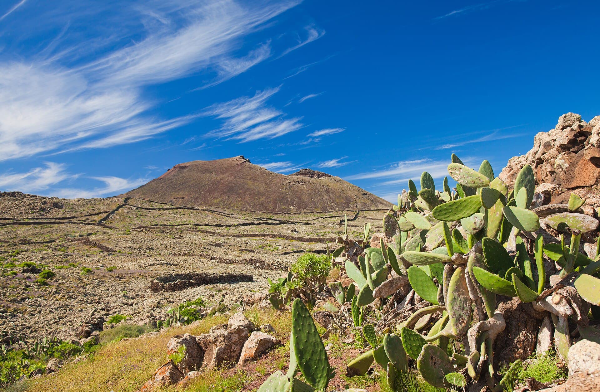
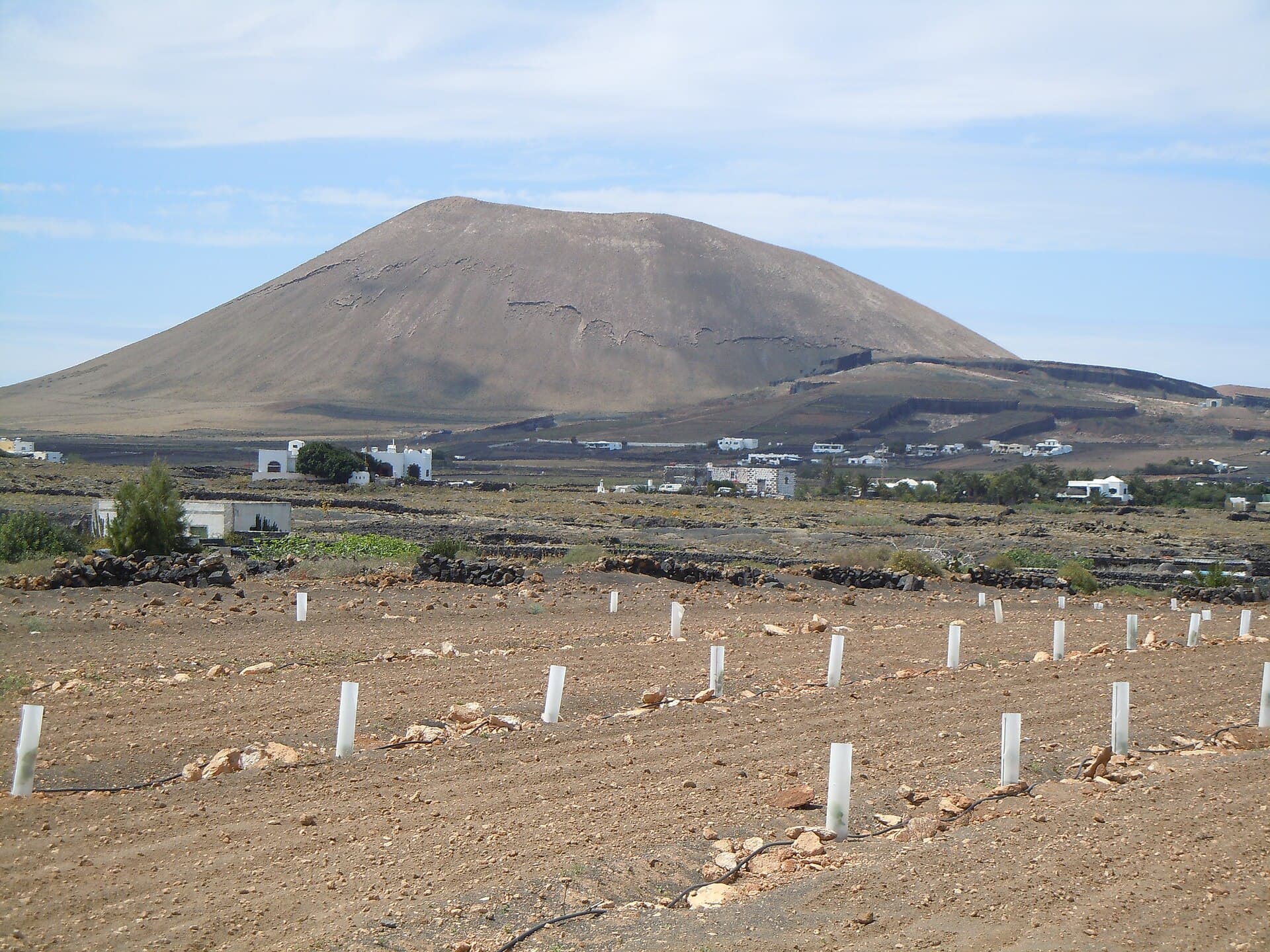
Peñas del Chache rises to 670 metres as the highest point on Lanzarote, forming part of the Famara massif in the island’s northern interior. From its broad summit plateau visitors gain clear sightlines across volcanic cones, fertile valleys, the Atlantic coastline and, on crisp days, the neighbouring islands of La Graciosa, Fuerteventura and even Tenerife.
Getting There
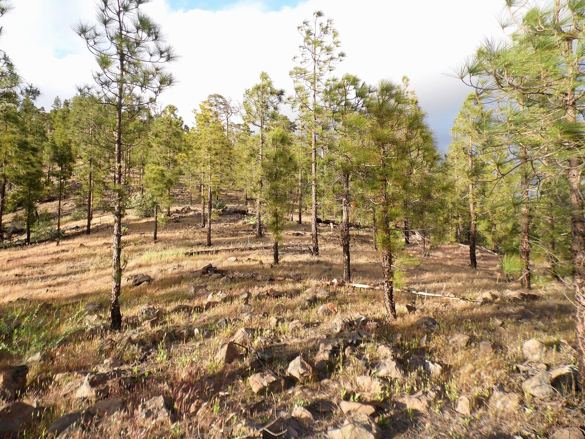
Most travellers base themselves in Haría or Arrieta and continue by rental car or taxi along the LZ-10 road. A signed trailhead lies roughly three kilometres south of Haría village; limited parking is available at the start of the path. From the trailhead a well-marked footpath climbs steadily through low scrub and occasional Canary pines, reaching the summit in 60–90 minutes one way. Public buses serve Haría, after which the same trail must be walked.
Things to Do
The main draw is the circular summit walk that circles the trig point and former military installations. Photographers favour the eastern edge at sunrise when light rakes across the Famara cliffs. Birdwatchers often spot Barbary falcons and Berthelot’s pipits. On clear winter days the view extends to Mount Teide on Tenerife; carry binoculars for distant island spotting.
Best Time to Visit
November through April offers the mildest temperatures and lowest wind risk. Summer months bring intense sun and occasional Saharan dust haze; early morning starts are essential. Spring wildflowers carpet the slopes in March and April, adding colour to the otherwise arid landscape.
Nearby Attractions
- The viewpoint at Mirador del Río lies 12 kilometres north and pairs well with a half-day itinerary.
- Haría’s weekly Sunday market provides local produce and crafts after a morning hike.
- The lava tubes and craters of the nearby Monumento Natural de La Corona offer an easy geological contrast to the highland hike.
Practical Notes
The route is exposed with no shade or water sources; sturdy footwear and at least two litres of water per person are essential. Mobile coverage is patchy near the summit, so download offline maps beforehand.