Skip to content
Plan & Tour
DestinationsItinerariesTravel BlogAboutContact
0Sign inPlan a trip
Plan & TourPlan & Tour

Travel guides, destination inspiration and curated itineraries for Canada, the USA and beyond, plus a free tool to plan your own day-by-day trip.

Get travel inspiration

Explore

  • All Destinations
  • Curated Itineraries
  • Travel Blog
  • Plan a Trip

Topics

  • Hiking & Nature
  • Food & Drink
  • City Breaks
  • Budget Travel

Company

  • About Us
  • Contact
  • Privacy Policy
  • Terms of Service

© 2026 Plan & Tour. Built for travellers.

Discover the world, one trip at a time.

Inagua Natural Reserve: Gran Canaria’s Rugged Protected Wilderness
  1. Home
  2. Destinations
  3. Las Palmas
  4. Inagua Natural Reserve: Gran Canaria’s Rugged Protected Wilderness
Protected area

Inagua Natural Reserve: Gran Canaria’s Rugged Protected Wilderness

Discover volcanic ridges, endemic pine forests, and rare birdlife in this quiet corner of the Canary Islands.

Las PalmasUpdated 12 November 2026

Why Inagua Stands Apart

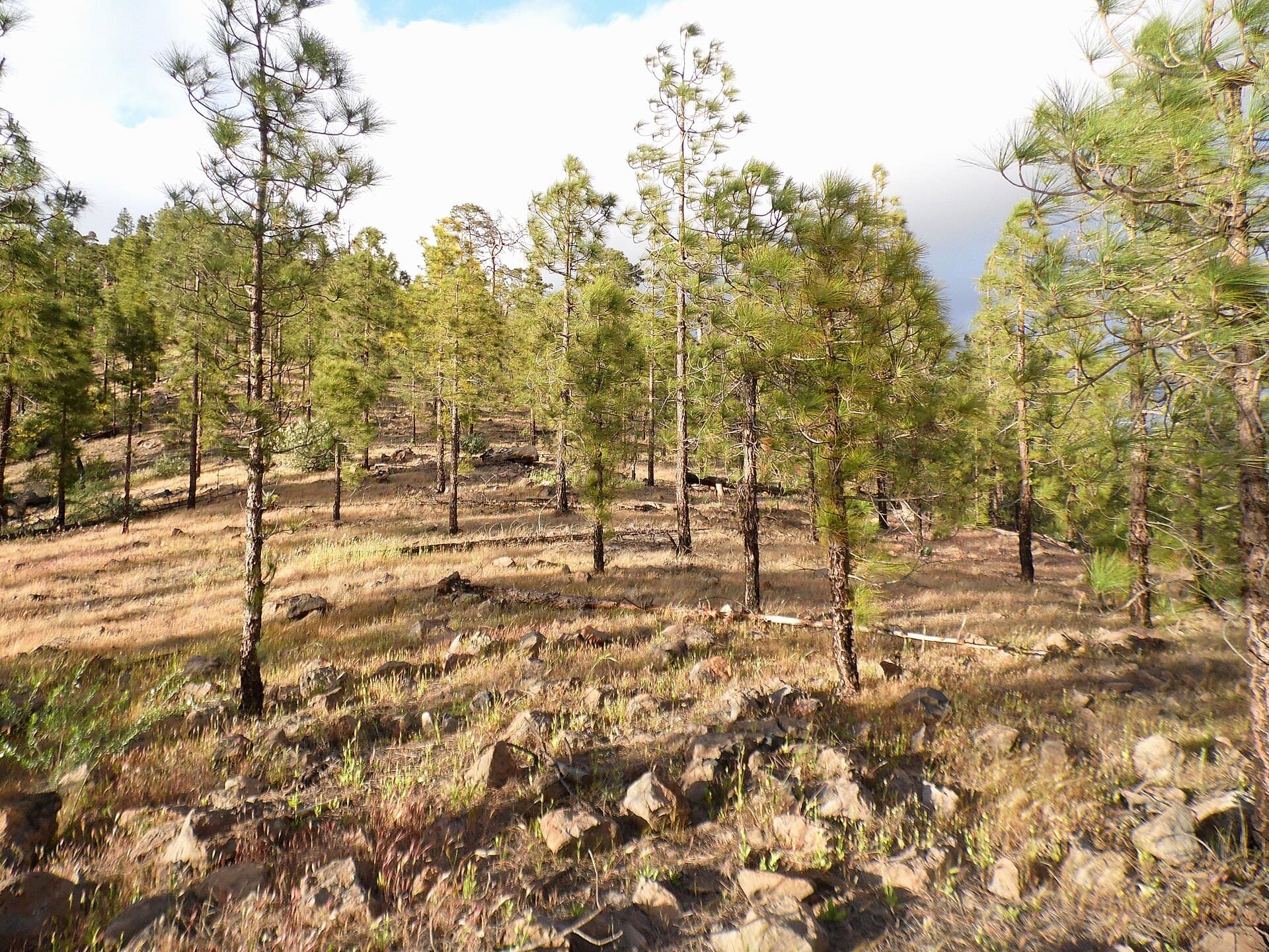
Inagua Natural Reserve occupies a remote slice of southwestern Gran Canaria, protecting steep ravines, ancient Canary pine stands, and volcanic rock formations that few visitors reach. The reserve’s isolation has preserved habitats for species found nowhere else on the island, including the blue chaffinch and several endemic plants that thrive on the nutrient-poor lava soils.

What to See and Do

Marked trails lead through fragrant pine woods to miradors offering sweeping views toward the sea and the central mountains. Birdwatchers often spot Barbary falcons and laurel pigeons in the early morning. Photographers favor the contrast between dark basalt and the bright green needles of the pines after rain. Longer hikes connect to the edge of the reserve, where the landscape opens into dramatic barrancos.

Guided Experiences

Local rangers and accredited guides offer small-group walks that explain the reserve’s geology and conservation history. These outings are the safest way to explore unmarked side paths and learn how grazing bans have allowed the forest to regenerate.

How to Get There

Most visitors drive from Las Palmas or Maspalomas via the GC-505 and GC-60 roads, parking at the signed trailheads near Ayacata. Public buses reach nearby villages but leave a long walk to the reserve boundary; renting a car remains the most practical option. Four-wheel-drive is unnecessary on the main access roads, though the final unpaved stretches can be rough after storms.

Best Time to Visit

Winter and spring bring cooler temperatures ideal for hiking, while the forest floor is dotted with wildflowers. Summers are hot and dry; start early and carry ample water. Autumn offers clear skies and fewer people, though occasional rain can make clay paths slippery.

Nearby Attractions

  • Roque Nublo and Roque Bentayga offer complementary volcanic viewpoints a short drive north.
  • The almond orchards around Tejeda provide seasonal color and local produce stalls.
  • Further west, the dunes of Maspalomas contrast sharply with Inagua’s forested interior.

Visitor tips

  • Carry at least two liters of water per person; there are no facilities inside the reserve.
  • Check weather forecasts before setting outu2014strong winds and sudden fog can reduce visibility on the ridges.
  • Stay on marked paths to protect fragile soils and nesting birds; off-trail walking is prohibited.

Frequently asked questions

Do I need a permit to hike in Inagua?+

No permit is required for the main trails, but larger groups and scientific visits must register with the islandu2019s environmental department in advance.

Are there any facilities or toilets inside the reserve?+

There are none. Plan to use services in the nearest villages before entering and pack out all waste.

What wildlife is most likely to be seen?+

The blue chaffinch, Barbary falcon, and various lizards are the most visible residents, especially near dawn and dusk.

Is Inagua suitable for children?+

Short, gentle sections near the trailheads work for older children, but the steep, rocky terrain makes the reserve better suited to experienced hikers.

Can I camp or picnic inside the reserve?+

Camping is not allowed. Picnicking is permitted only at designated spots at the entrances; open fires are strictly forbidden.

Share
Google Maps Apple Maps Directions

Image: Kenraiz · CC BY-SA 3.0 · via Wikimedia Commons

Keep reading

Nearby & related

All stories
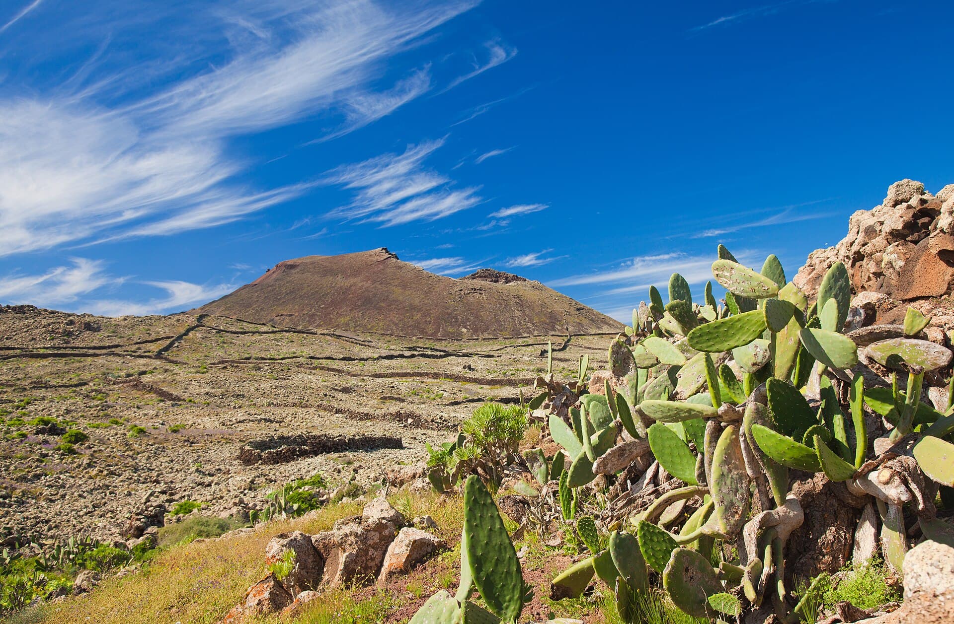
Malpaís de la Arena: Hiking Fuerteventura’s Ancient Lava Badlands
Las Palmas

Malpaís de la Arena: Hiking Fuerteventura’s Ancient Lava Badlands

Discover the stark volcanic beauty and quiet trails of this protected lava field on Fuerteventura’s northern coast.

12 November 2026
Montaña Tamia: Hiking Lanzarote’s Underrated Volcanic Summit
Las Palmas

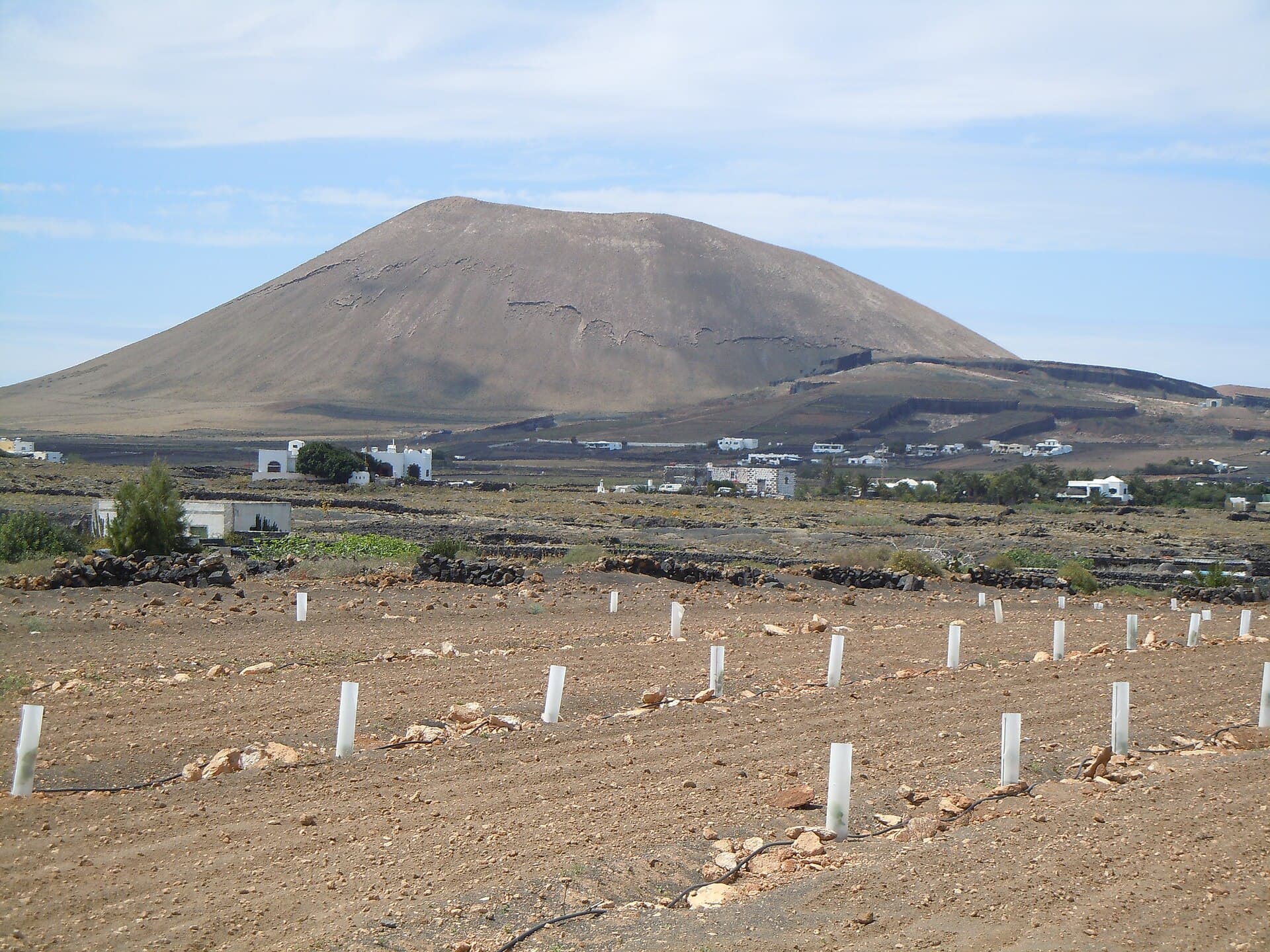
Montaña Tamia: Hiking Lanzarote’s Underrated Volcanic Summit

A serene hike up Montaña Tamia delivers sweeping views across Lanzarote’s volcanic landscape without the crowds.

12 November 2026
Montaña de Ajódar: Hiking Gran Canaria’s Quiet Volcanic Summit
Las Palmas

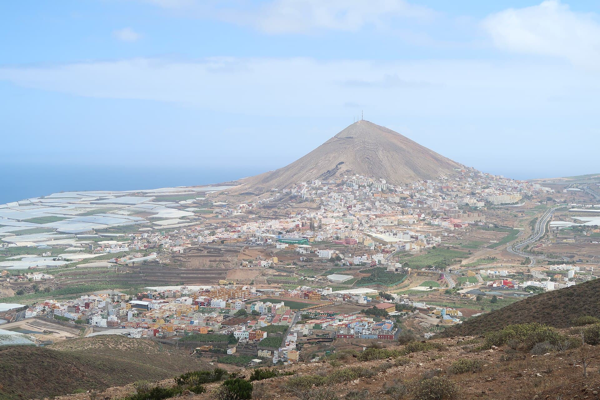
Montaña de Ajódar: Hiking Gran Canaria’s Quiet Volcanic Summit

A rugged, lesser-known peak offering sweeping island views and peaceful trails in the Canary Islands.

12 November 2026