Skip to content
Plan & Tour
DestinationsItinerariesTravel BlogAboutContact
0Sign inPlan a trip
Plan & TourPlan & Tour

Travel guides, destination inspiration and curated itineraries for Canada, the USA and beyond, plus a free tool to plan your own day-by-day trip.

Get travel inspiration

Explore

  • All Destinations
  • Curated Itineraries
  • Travel Blog
  • Plan a Trip

Topics

  • Hiking & Nature
  • Food & Drink
  • City Breaks
  • Budget Travel

Company

  • About Us
  • Contact
  • Privacy Policy
  • Terms of Service

© 2026 Plan & Tour. Built for travellers.

Discover the world, one trip at a time.

Parinacota: Scaling Bolivia’s Perfect Andean Volcano
  1. Home
  2. Destinations
  3. La Paz
  4. Parinacota: Scaling Bolivia’s Perfect Andean Volcano
Mountain

Parinacota: Scaling Bolivia’s Perfect Andean Volcano

Explore the striking symmetry of Parinacota, an accessible high-altitude climb offering sweeping views across the Bolivian-Chilean borderlands.

La PazUpdated 11 October 2026

Why Parinacota Stands Out

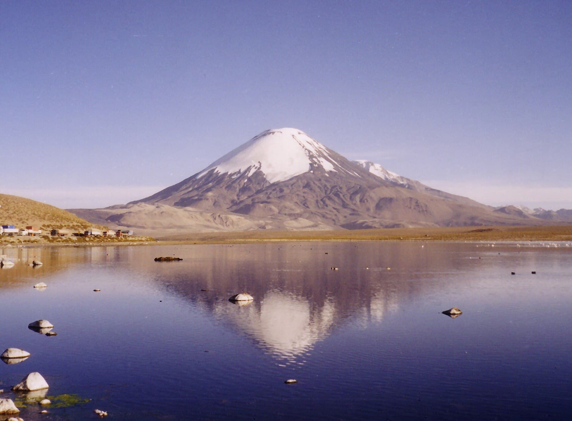
Parinacota rises as a textbook stratovolcano with a near-perfect cone that dominates the high plateau west of La Paz. At over 6,300 meters, it rewards visitors with 360-degree vistas of neighboring peaks such as Pomerape and the Sajama massif, plus the deep blue waters of Lago Chungará below. Its dormant status and relatively straightforward routes make it one of the more approachable big climbs in the Andes for fit travelers already acclimatized to altitude.

Best Time to Visit

The dry season from May through October brings stable weather, clear skies, and minimal snow cover on the upper slopes. Daytime temperatures are mild while nights drop well below freezing; plan layers accordingly. The wet season (November–April) increases avalanche risk and can obscure views with clouds.

Getting There from La Paz

Most travelers start with an overnight bus from La Paz to the border town of Tambo Quemado or continue into Chile’s Putre. From there, shared vans or private transfers reach the base near Lago Chungará in Sajama National Park. The final approach to the normal route trailhead requires a 4×4 vehicle or a long hike across the pampa. Allow two full days for travel and acclimatization before attempting the summit.

Routes and Activities

The standard southwest ridge offers a non-technical ascent suitable for experienced hikers with crampons, ice axe, and rope for the final snow section. A strong party can complete the round-trip from the 5,200-meter camp in 8–10 hours. Lower down, visitors enjoy shorter walks around bofedales wetlands to spot vicuñas and flamingos, or sunset photography of the volcano’s reflection in Chungará. Stargazing at this elevation is exceptional due to minimal light pollution.

Nearby Highlights

Combine the climb with exploration of Sajama National Park’s geysers and hot springs, or cross into Chile for a day at Lauca National Park. The vast Altiplano landscapes and traditional Aymara villages provide cultural contrast to the mountain scenery.

Visitor tips

  • Spend at least three nights above 3,500 meters before attempting the summit to reduce altitude sickness risk.
  • Hire a local guide and check current snow and crevasse conditions; routes can change after storms.
  • Carry plenty of water and high-energy food; the dry air at altitude increases dehydration faster than expected.

Frequently asked questions

How high is Parinacota and how difficult is the climb?+

The summit sits at 6,342 meters. The normal route is a moderate glacier climb requiring basic mountaineering skills and prior acclimatization, not a casual hike.

Do I need a permit or guide for Parinacota?+

No formal permit is required, but hiring a licensed guide from the Sajama area is strongly recommended for safety and route-finding on the glacier.

What should I pack for a Parinacota ascent?+

Essential items include crampons, ice axe, helmet, harness, layered clothing, sunscreen, and at least three liters of water per person.

Can I visit Parinacota without climbing to the top?+

Yes. The surrounding national park offers excellent day hikes, wildlife viewing, and viewpoints around Lago Chungaru00e1 that do not require technical gear.

Is Parinacota safe for first-time high-altitude visitors?+

Only if already well acclimatized. Travelers new to elevations above 4,000 meters should spend several days lower down before attempting the climb.

Share
Google Maps Apple Maps Directions

Image: Gerd Breitenbach · CC BY-SA 3.0 · via Wikimedia Commons

Keep reading

Nearby & related

All stories
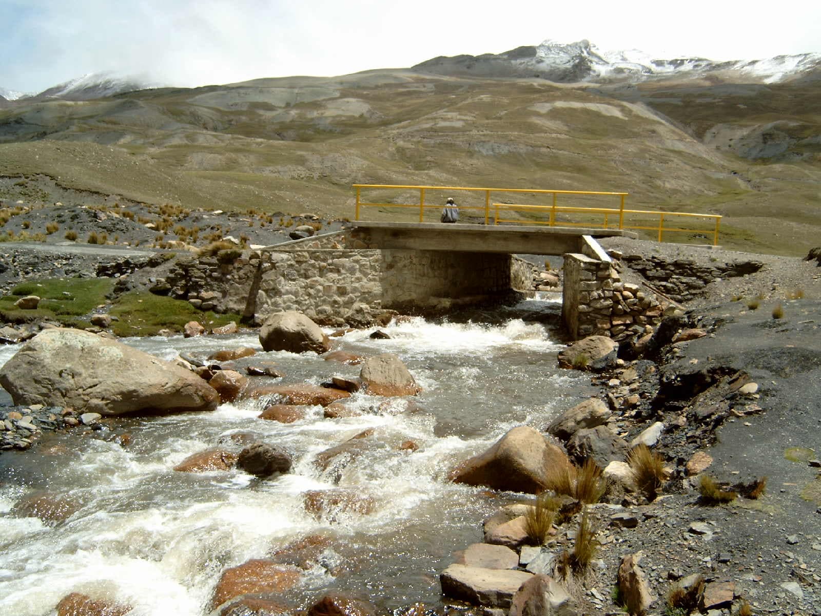
Choqueyapu River: La Paz’s Urban Artery Through the Andes
La Paz

Choqueyapu River: La Paz’s Urban Artery Through the Andes

Follow the river that carved La Paz’s dramatic valley and still anchors daily life in the Bolivian capital.

12 October 2026
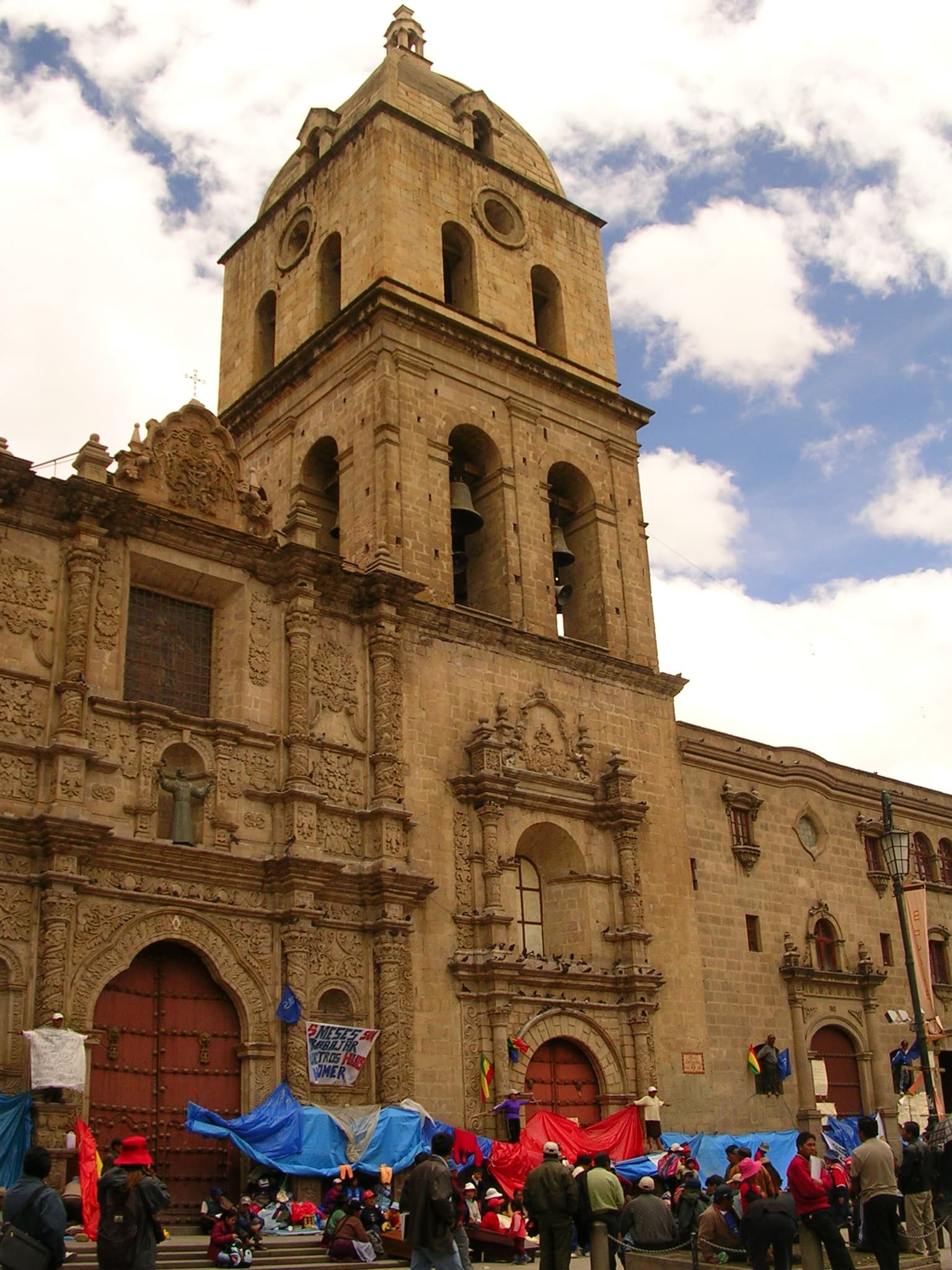
Basilica of San Francisco: La Paz’s Colonial Heart in the Andes
La Paz

Basilica of San Francisco: La Paz’s Colonial Heart in the Andes

Step into centuries of history at this ornate 16th-century church anchoring La Paz’s vibrant old town.

12 October 2026