
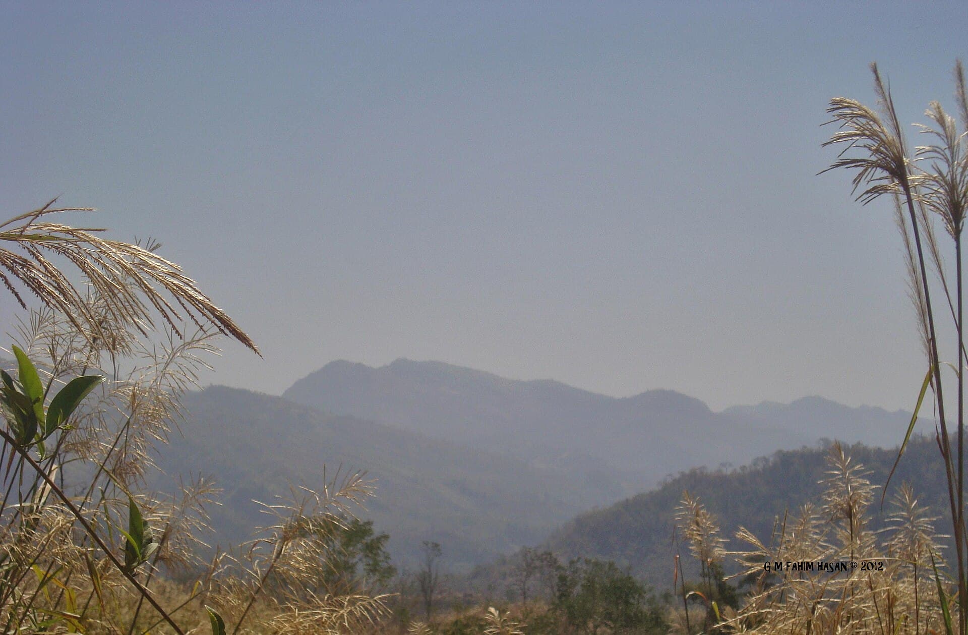
Mowdok Tiang: Trekking Bangladesh’s Remote Mountain Wilderness
Explore the rugged trails, sweeping hill views, and indigenous cultures of Mowdok Tiang in Thanchi Upazila.
Why Visit Mowdok Tiang
Mowdok Tiang rises as a prominent peak in the Chittagong Hill Tracts, offering hikers dramatic ridgeline vistas across forested valleys and distant ranges. The mountain stands out for its biodiversity, with orchids, bamboo groves, and occasional wildlife sightings that reward patient observers. Local Marma and Tripura communities add cultural depth through traditional villages where visitors can learn about shifting cultivation and handicrafts without intruding on daily life.
Getting There
Access begins in Thanchi Upazila, reached by bus or jeep from Bandarban town along winding roads. From Thanchi bazaar, travelers arrange local transport or begin the multi-day trek on foot. The route involves steep ascents through mixed forest and occasional stream crossings, best navigated with a guide familiar with seasonal paths. Permits from the local administration are typically required for foreigners due to the border region’s status.
What to See and Do
The summit rewards with panoramic views at sunrise or sunset. Along the way, hikers pass terraced fields, small waterfalls, and viewpoints overlooking the Sangu River valley. Cultural stops include village homestays where meals feature bamboo shoots and sticky rice. Birdwatching and plant identification provide quiet activities for those extending their stay beyond the main ascent.
Best Time to Visit
The cooler, drier months from November through February offer the most reliable conditions for trekking, with lower humidity and clearer skies. Monsoon rains from June to September make trails slippery and increase landslide risk, while March to May brings intense heat before the rains arrive. Planning around these seasonal patterns ensures safer passage and better visibility of the surrounding hills.
Nearby Attractions
Thanchi serves as a gateway to other notable sites such as Nafakhum waterfall and the trails toward Keokradong. Day trips from base camps can reach smaller peaks or river bends popular for swimming. The broader Bandarban area features additional indigenous markets and Buddhist temples that complement a Mowdok Tiang journey.
Visitor tips
- Hire a licensed local guide in Thanchi for navigation and to respect restricted zones.
- Carry sufficient water, a basic first-aid kit, and layered clothing for temperature swings at elevation.
- Learn a few phrases in the local dialect and follow village etiquette when requesting homestays.
Frequently asked questions
How difficult is the trek to Mowdok Tiang?
The route features steep, sustained climbs over two to three days with some exposed sections; prior hill-walking experience helps but determined beginners succeed with a guide.
Do I need special permits to visit?
Foreign visitors require a permit issued in Bandarban or Thanchi; arrange this through a registered tour operator or local administration office before departure.
What should I pack for the mountain?
Sturdy boots, rain shell, headlamp, insect repellent, and enough cash for village purchases are essential; camping gear is optional if homestays are planned.
Are there safe places to stay near the peak?
Basic village homestays and simple forest camps provide overnight options; travelers should confirm availability with guides in advance.
Is mobile network available on the trail?
Coverage is patchy or absent beyond Thanchi; inform someone of your itinerary and carry a whistle or satellite messenger for emergencies.