Skip to content
Plan & Tour
DestinationsItinerariesTravel BlogAboutContact
0Sign inPlan a trip
Plan & TourPlan & Tour

Travel guides, destination inspiration and curated itineraries for Canada, the USA and beyond, plus a free tool to plan your own day-by-day trip.

Get travel inspiration

Explore

  • All Destinations
  • Curated Itineraries
  • Travel Blog
  • Plan a Trip

Topics

  • Hiking & Nature
  • Food & Drink
  • City Breaks
  • Budget Travel

Company

  • About Us
  • Contact
  • Privacy Policy
  • Terms of Service

© 2026 Plan & Tour. Built for travellers.

Discover the world, one trip at a time.

Thaingkhiang Taung: Trekking Bangladesh’s Remote Chittagong Hill Tracts Peak
  1. Home
  2. Destinations
  3. Thanchi Upazila
  4. Thaingkhiang Taung: Trekking Bangladesh’s Remote Chittagong Hill Tracts Peak
Mountain

Thaingkhiang Taung: Trekking Bangladesh’s Remote Chittagong Hill Tracts Peak

A challenging climb through indigenous villages and dense forests to sweeping views in Thanchi Upazila.

Thanchi UpazilaUpdated 24 September 2026

Why Visit Thaingkhiang Taung

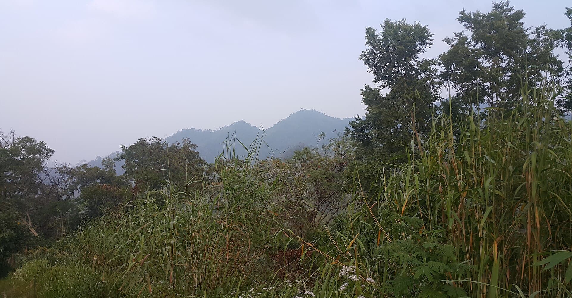
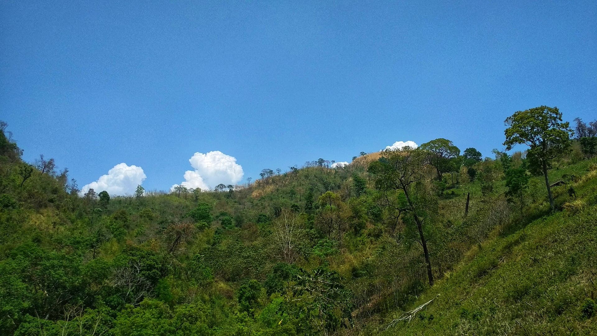
Thaingkhiang Taung rises in the rugged highlands of Thanchi Upazila, offering hikers a rare chance to experience the least-visited corners of the Chittagong Hill Tracts. The mountain rewards those who make the journey with panoramic vistas across layered ridges that stretch toward the Myanmar border. Dense bamboo groves, orchids, and occasional sightings of hornbills and gibbons highlight the area’s rich biodiversity.

How to Get There

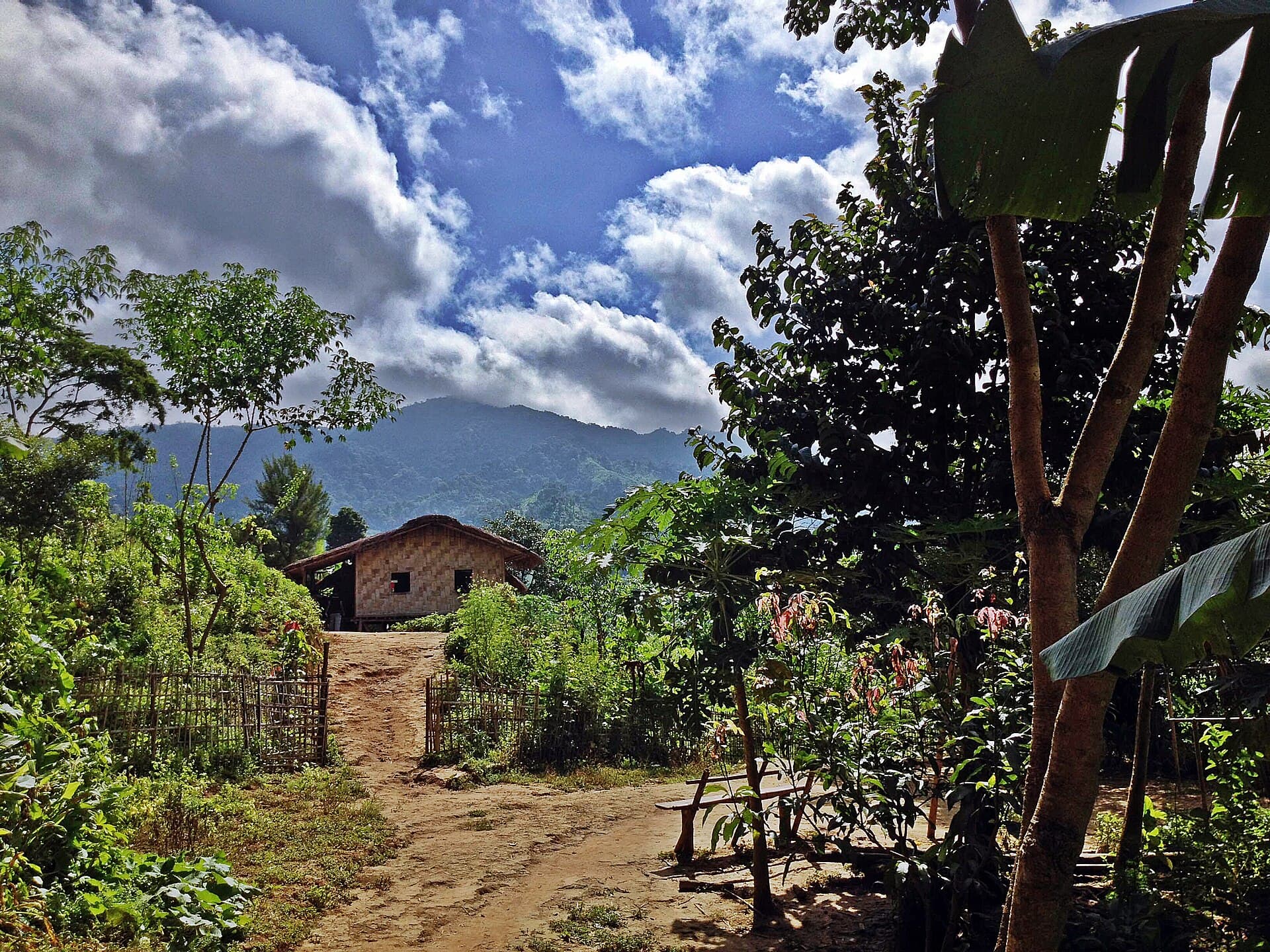
Travel begins in Bandarban town, where jeeps or motorbikes can be hired for the rough road to Thanchi. From Thanchi, local boats or treks lead into the valleys below the peak. The final ascent is on foot along narrow trails that pass through Marma and Tripura hamlets. Independent travelers should arrange a licensed local guide in Thanchi, as trails are unmarked and permissions from village heads are often required.

Best Time to Visit

The dry season from November to March brings clearer skies and safer trails. Monsoon months turn paths into slippery mud and increase landslide risk, while summer heat makes long hikes strenuous. Plan multi-day treks during winter when temperatures remain comfortable and wildflowers line the ridges.

What to See and Do

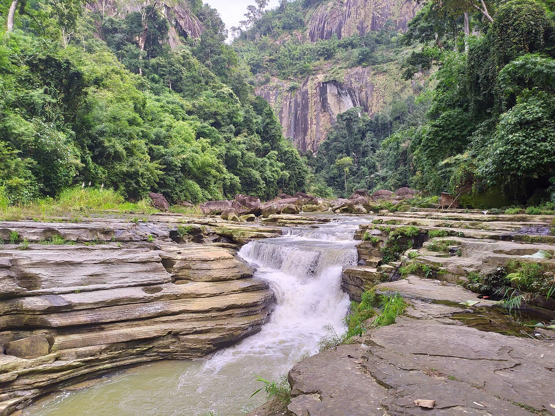
Most visitors combine the climb with overnight stays in hill villages, learning traditional weaving or joining evening rice-wine ceremonies. The summit itself provides sunrise views over the Sangu River valley and distant peaks. Photographers prize the contrast between terraced fields and untouched forest canopy. Shorter day hikes from Thanchi reach waterfalls and caves that serve as local shrines.

Nearby Attractions

Thanchi serves as a gateway to other trails leading toward Keokradong and the Nafakhum waterfall. The surrounding hills host weekly markets where visitors can purchase handwoven textiles and honey. River journeys downstream connect to the larger Bandarban valley and its Buddhist monasteries.

Responsible Travel Notes

  • Carry all waste out and ask permission before photographing villagers.
  • Support community homestays rather than building new campsites.
  • Learn basic greetings in the local dialect to show respect.

Visitor tips

  • Hire a local guide and obtain village permissions before entering trails beyond Thanchi.
  • Pack layered clothing, sturdy boots, and enough water purification tablets for multi-day treks.
  • Respect indigenous customs by dressing modestly and avoiding alcohol near sacred sites.

Frequently asked questions

How difficult is the trek to Thaingkhiang Taung?+

The climb involves steep, uneven trails with elevation gain that typically requires two to three days round-trip for fit hikers. No technical climbing gear is needed, but good physical condition and a guide are essential.

Do I need special permits to visit Thaingkhiang Taung?+

Foreign visitors require a permit from the Bandarban district administration and often additional approval from the army checkpost in Thanchi. A licensed guide can arrange these in advance.

What should I pack for a trek here?+

Bring a lightweight tent or hammock, rain cover, headlamp, insect repellent, and high-energy food. Mobile coverage is nonexistent beyond Thanchi, so download offline maps.

Are there places to stay near the mountain?+

Basic homestays exist in Thanchi and some Marma villages along the route. Expect simple bamboo huts with shared facilities and meals cooked over wood fires.

Is it safe to hike Thaingkhiang Taung alone?+

Solo travel is strongly discouraged due to unmarked trails and the need for local permissions. Always travel with at least one registered guide and inform the Thanchi tourist police of your itinerary.

Share
Google Maps Apple Maps Directions

Image: Sk Shuvo · CC BY-SA 4.0 · via Wikimedia Commons

Keep reading

Nearby & related

All stories
Amiakhum Waterfall: Trekking to Bangladesh’s Remote Hill-Tracts Cascade
Thanchi Upazila

Amiakhum Waterfall: Trekking to Bangladesh’s Remote Hill-Tracts Cascade

Amiakhum Waterfall rewards determined travelers with untouched jungle scenery and a powerful plunge pool deep inside…

24 September 2026
Tazing Dong: Trekking Bangladesh’s Highest Peak in Thanchi
Thanchi Upazila

Tazing Dong: Trekking Bangladesh’s Highest Peak in Thanchi

A remote trek to the summit of Tazing Dong reveals the wild ridges and river valleys of the Chittagong Hill Tracts.

24 September 2026
Zow Tlang: Trekking Bangladesh’s Remote Mountain Frontier in Thanchi
Thanchi Upazila

Zow Tlang: Trekking Bangladesh’s Remote Mountain Frontier in Thanchi

Explore the wild ridges, indigenous villages, and sweeping views of Zow Tlang in the Chittagong Hill Tracts.

24 September 2026