Skip to content
Plan & Tour
DestinationsItinerariesTravel BlogAboutContact
0Sign inPlan a trip
Plan & TourPlan & Tour

Travel guides, destination inspiration and curated itineraries for Canada, the USA and beyond, plus a free tool to plan your own day-by-day trip.

Get travel inspiration

Explore

  • All Destinations
  • Curated Itineraries
  • Travel Blog
  • Plan a Trip

Topics

  • Hiking & Nature
  • Food & Drink
  • City Breaks
  • Budget Travel

Company

  • About Us
  • Contact
  • Privacy Policy
  • Terms of Service

© 2026 Plan & Tour. Built for travellers.

Discover the world, one trip at a time.

Tazing Dong: Trekking Bangladesh’s Highest Peak in Thanchi
  1. Home
  2. Destinations
  3. Thanchi Upazila
  4. Tazing Dong: Trekking Bangladesh’s Highest Peak in Thanchi
Mountain

Tazing Dong: Trekking Bangladesh’s Highest Peak in Thanchi

A remote trek to the summit of Tazing Dong reveals the wild ridges and river valleys of the Chittagong Hill Tracts.

Thanchi UpazilaUpdated 24 September 2026

Why Tazing Dong Is Worth the Journey

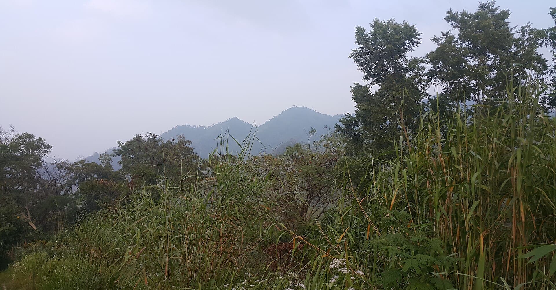
Tazing Dong rises as the highest point in Bangladesh, offering trekkers a rare chance to stand above the dense forests and winding rivers of the southeastern hills. Its slopes support thick bamboo groves, orchids, and wildlife such as barking deer and hornbills. The summit provides sweeping views across the Chittagong Hill Tracts toward the Myanmar border, especially striking at sunrise when mist fills the valleys below.

How to Reach Tazing Dong

Travel first to Bandarban town by bus or private vehicle from Chittagong or Dhaka. From Bandarban, continue by jeep or local transport along the winding road to Thanchi Upazila. In Thanchi, arrange a local guide and porters for the multi-day trek that follows forest trails and riverbeds to the base camp. The final ascent is a steep climb through bamboo thickets and rocky sections.

Permits and Local Support

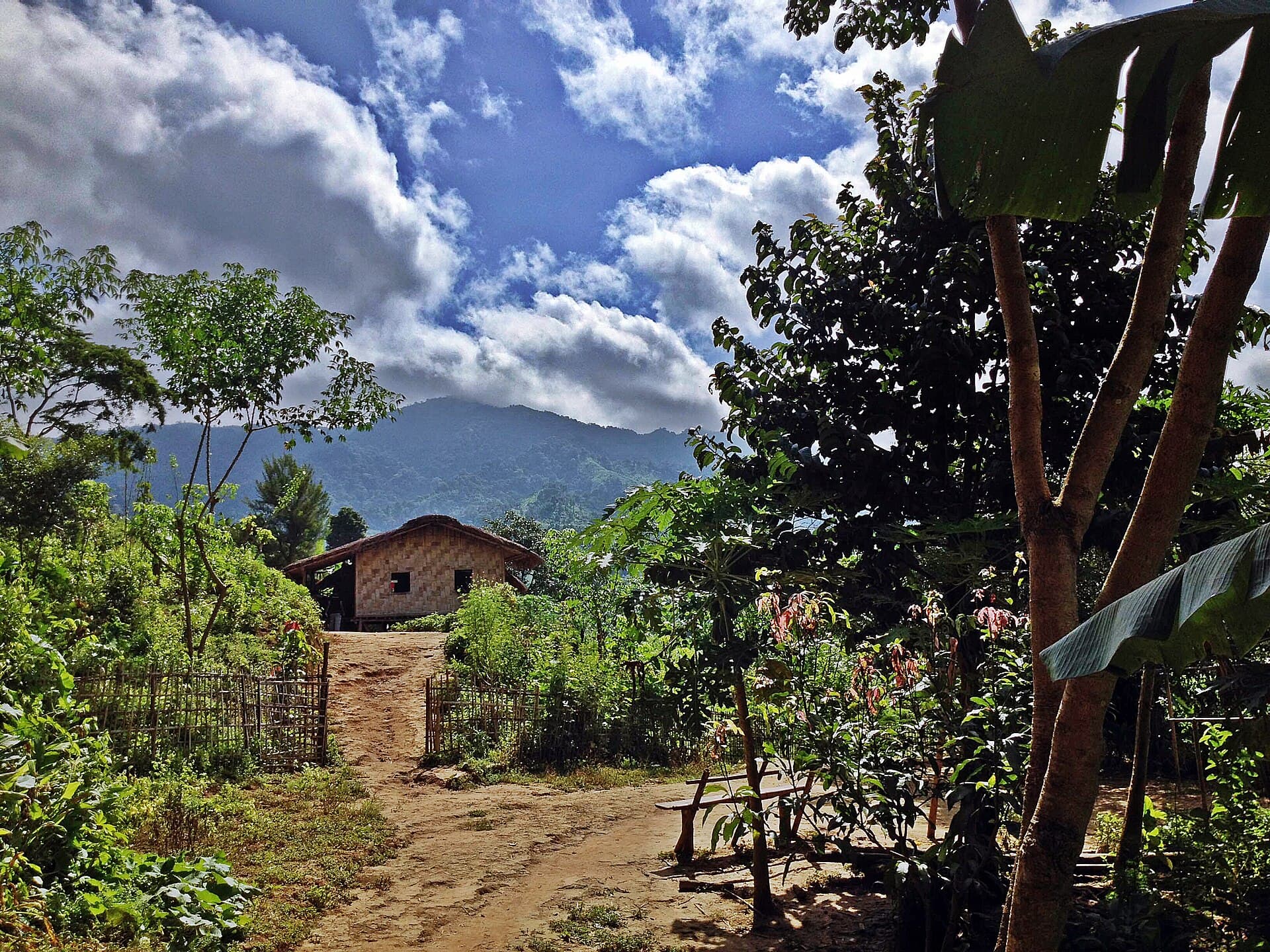
Foreign visitors must obtain a permit from the Bandarban district administration before traveling beyond Thanchi. Local Marma and Tripura communities in the area can supply guides familiar with safe routes and current trail conditions.

Best Time to Visit

The dry months from November to March bring clearer skies and lower risk of landslides, making the trails safer and the views more reliable. April to October sees heavy monsoon rains that turn paths slippery and increase flash-flood danger along the Sangu River tributaries.

What to Do at the Mountain

  • Camp overnight near the summit to watch dawn light spread across layered ridges.
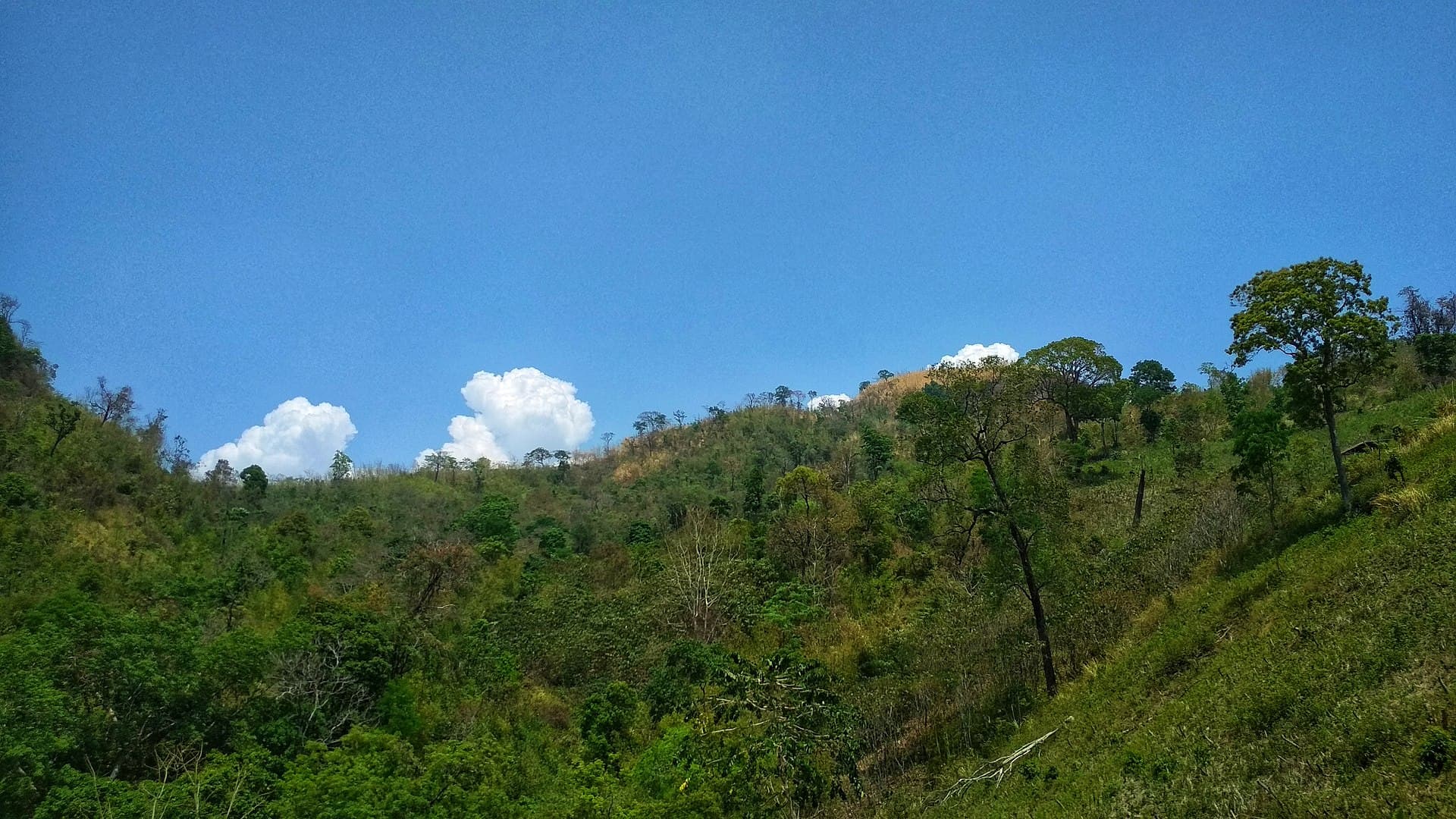
  • Photograph the transition from subtropical forest to open grassland near the peak.
  • Observe traditional jhum cultivation practiced by hill communities on lower slopes.
  • Listen for gibbon calls in the early morning forest canopy.

Nearby Places Worth Exploring

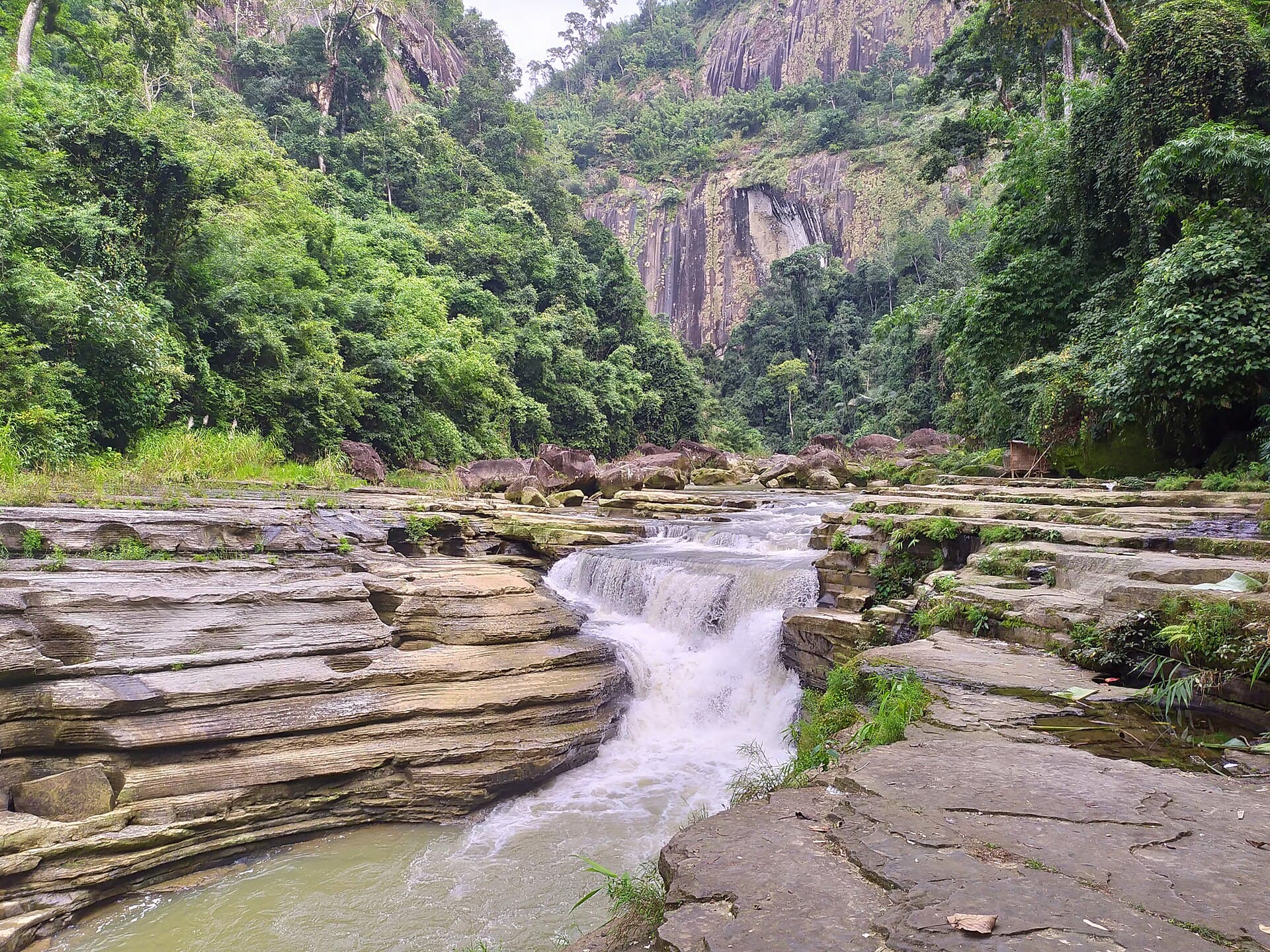
After descending, spend time along the Sangu River in Thanchi for gentle boat rides or village visits. Other nearby ridges offer shorter day hikes with similar hill views but less elevation gain. The entire region remains sparsely developed, preserving a sense of wilderness rare elsewhere in Bangladesh.

Visitor tips

  • Hire a local guide and porters in Thanchi; trails are unmarked and navigation relies on experience.
  • Pack layers for cool summit nights and sturdy waterproof boots for muddy forest sections.
  • Carry enough food and water for the full trek; resupply options disappear after leaving Thanchi.

Frequently asked questions

Is Tazing Dong really the highest mountain in Bangladesh?+

Yes, at 21.81646u00b0N 92.53066u00b0E it is recognized as the countryu2019s tallest peak.

How many days does the trek to Tazing Dong take?+

Most groups spend three to four days round-trip from Thanchi, depending on fitness and weather.

Do I need a permit to visit Tazing Dong?+

Foreign travelers require a permit from the Bandarban district office before proceeding past Thanchi.

What is the terrain like near the summit?+

The final section is steep and rocky with bamboo thickets; a guide is essential for safety.

Are there any facilities on the mountain?+

No permanent facilities exist; visitors must be fully self-sufficient with camping gear and supplies.

Share
Google Maps Apple Maps Directions

Image: Morshed Rahman Zubaer · CC BY-SA 4.0 · via Wikimedia Commons

Keep reading

Nearby & related

All stories
Thaingkhiang Taung: Trekking Bangladesh’s Remote Chittagong Hill Tracts Peak
Thanchi Upazila

Thaingkhiang Taung: Trekking Bangladesh’s Remote Chittagong Hill Tracts Peak

A challenging climb through indigenous villages and dense forests to sweeping views in Thanchi Upazila.

24 September 2026
Amiakhum Waterfall: Trekking to Bangladesh’s Remote Hill-Tracts Cascade
Thanchi Upazila

Amiakhum Waterfall: Trekking to Bangladesh’s Remote Hill-Tracts Cascade

Amiakhum Waterfall rewards determined travelers with untouched jungle scenery and a powerful plunge pool deep inside…

24 September 2026
Zow Tlang: Trekking Bangladesh’s Remote Mountain Frontier in Thanchi
Thanchi Upazila

Zow Tlang: Trekking Bangladesh’s Remote Mountain Frontier in Thanchi

Explore the wild ridges, indigenous villages, and sweeping views of Zow Tlang in the Chittagong Hill Tracts.

24 September 2026