
Keep reading
Nearby & related
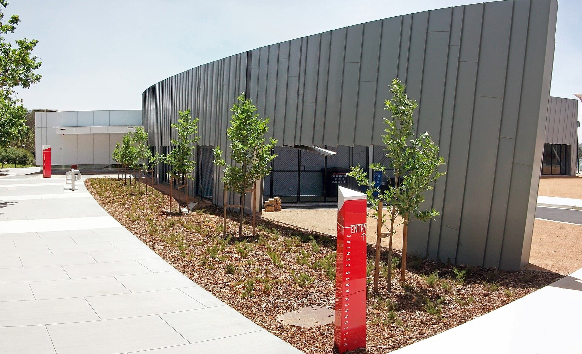
Belconnen Arts Centre: Contemporary Creativity in Canberra’s Belconnen District
Discover exhibitions, performances and community programs at this lively arts hub north of Canberra’s city centre.
18 September 2026
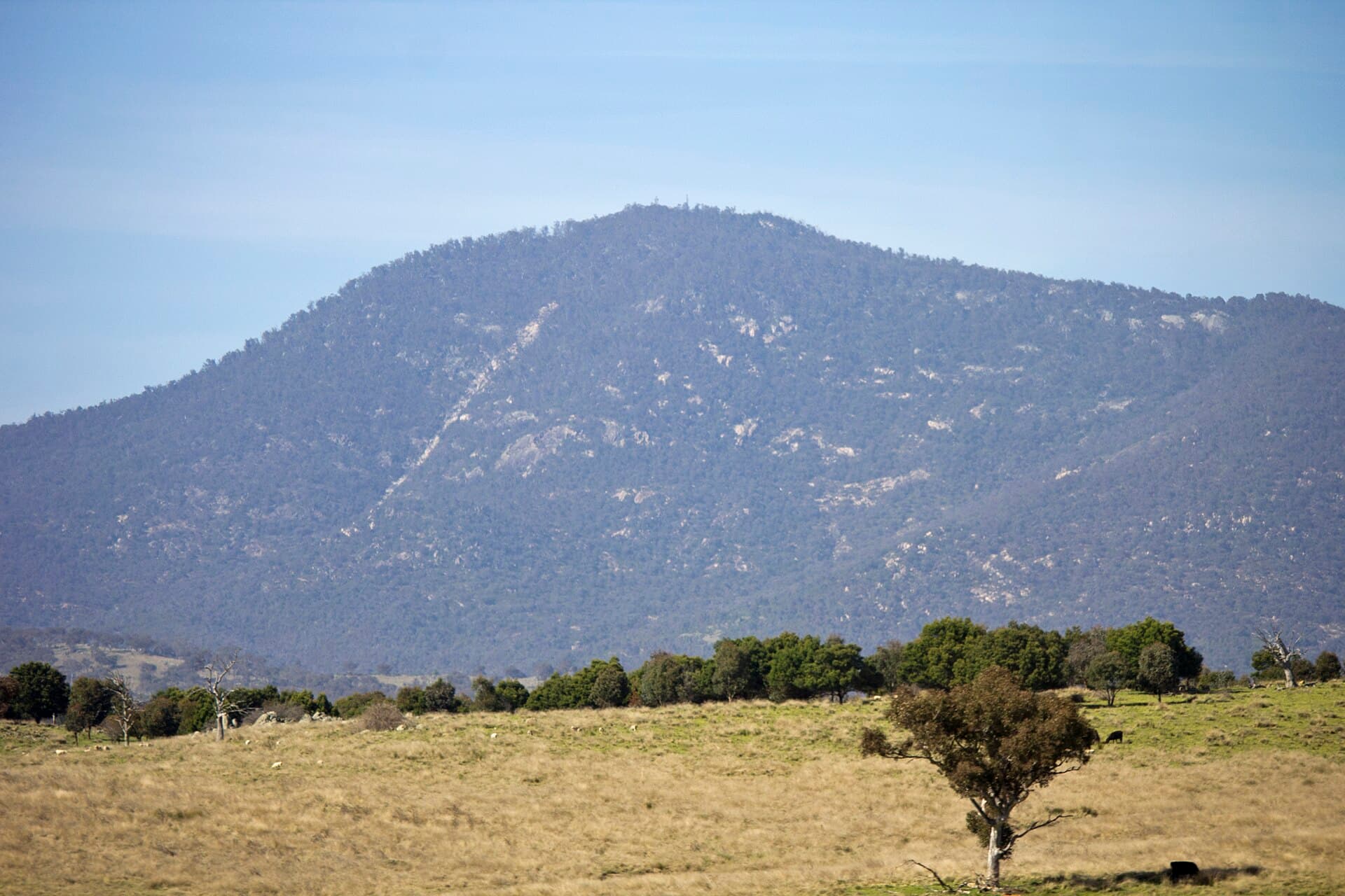
Tackle the rewarding ascent of Mount Tennent for sweeping vistas across the Australian Capital Territory and the rugged Brindabella Ranges.
Mount Tennent rises as a prominent landmark south of Canberra within Namadgi National Park, offering hikers a clear sense of the territory’s topography. The mountain’s open summit provides uninterrupted 360-degree views that stretch from the Canberra skyline to the distant peaks of the Brindabella Range and the rolling farmland of the Monaro. Its position makes it an accessible introduction to the Australian Alps without requiring multi-day expeditions.
The main route begins at the Apollo Road trailhead and follows a well-defined management track that climbs steadily through eucalyptus woodland and open ridges. Expect a moderate-to-strenuous walk that rewards consistent effort with changing perspectives: lower sections pass through stringybark forest while higher slopes open into grassy woodlands dotted with granite boulders. At the top, a trig station marks the high point where visitors can linger and identify landmarks such as Black Mountain, the distant Snowy Mountains, and the Cotter catchment. Side trails near the summit allow short explorations for those seeking quieter vantage points.
The slopes support a mix of native vegetation including snow gum at higher elevations and red stringybark lower down. Birdlife is abundant, with wedge-tailed eagles often circling the ridges and smaller species such as scarlet robins frequenting the understorey. The area holds significance for the Ngunnawal people, whose traditional knowledge of seasonal movement and resource use is reflected in the park’s interpretive material. Respect for the landscape includes staying on formed tracks and taking all rubbish out.
Drive south on the Monaro Highway, then turn onto Apollo Road. The sealed road ends at a small parking area with basic facilities. Public transport options are limited, so most visitors arrive by car; a high-clearance vehicle is not essential but helpful after heavy rain. From central Canberra the journey takes roughly half an hour under normal conditions.
Autumn (March–May) and spring (September–November) deliver the most comfortable temperatures and clearer skies for photography. Summer can bring intense heat and occasional thunderstorms, while winter occasionally dusts the summit with light snow, creating striking but colder conditions. Always check park alerts for fire danger or track closures before departure.
Combining Mount Tennent with one of these locations creates a full-day itinerary that showcases the diversity of the Australian Capital Territory’s protected landscapes.
Keep reading
Discover exhibitions, performances and community programs at this lively arts hub north of Canberra’s city centre.
Most walkers complete the return trip in four to six hours, depending on fitness and the number of stops for photographs.
The steady climb and total distance make it better suited to those with some hill-walking experience; fit beginners can manage it with an early start and plenty of breaks.
Dogs are not permitted in Namadgi National Park, so leave pets at home or arrange alternative care.
Turn back immediately if storms approach; the exposed ridges offer little shelter and lightning risk is real.
Coverage is patchy above the tree line but generally available at the trailhead and on higher open sections.
Explore the accessible trails, wildflower meadows and sweeping views from Mount Rogers, a compact peak in Canberra’s…
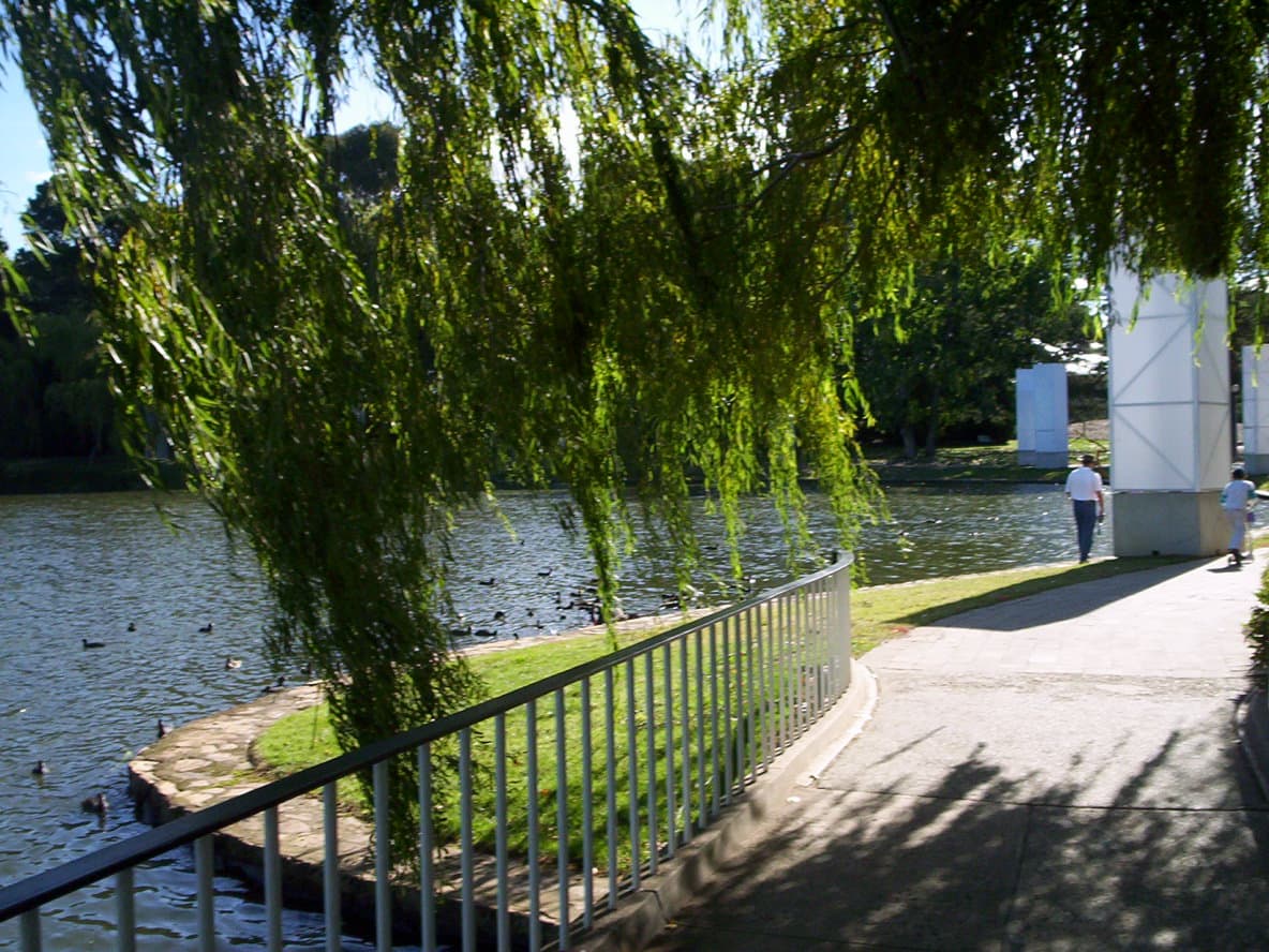
Explore the manicured gardens, public art, and seasonal festivals that make Commonwealth Park a central green space on…