Skip to content
Plan & Tour
DestinationsItinerariesTravel BlogAboutContact
0Sign inPlan a trip
Plan & TourPlan & Tour

Travel guides, destination inspiration and curated itineraries for Canada, the USA and beyond, plus a free tool to plan your own day-by-day trip.

Get travel inspiration

Explore

  • All Destinations
  • Curated Itineraries
  • Travel Blog
  • Plan a Trip

Topics

  • Hiking & Nature
  • Food & Drink
  • City Breaks
  • Budget Travel

Company

  • About Us
  • Contact
  • Privacy Policy
  • Terms of Service

© 2026 Plan & Tour. Built for travellers.

Discover the world, one trip at a time.

Mount Chamberlin: A Remote Wilderness Peak in Alaska’s Arctic Refuge
  1. Home
  2. Destinations
  3. Alaska
  4. Mount Chamberlin: A Remote Wilderness Peak in Alaska’s Arctic Refuge
Mountain

Mount Chamberlin: A Remote Wilderness Peak in Alaska’s Arctic Refuge

Discover hiking, wildlife, and solitude on this high Brooks Range summit deep inside the Arctic National Wildlife Refuge.

AlaskaUpdated 14 August 2026

Why Visit Mount Chamberlin

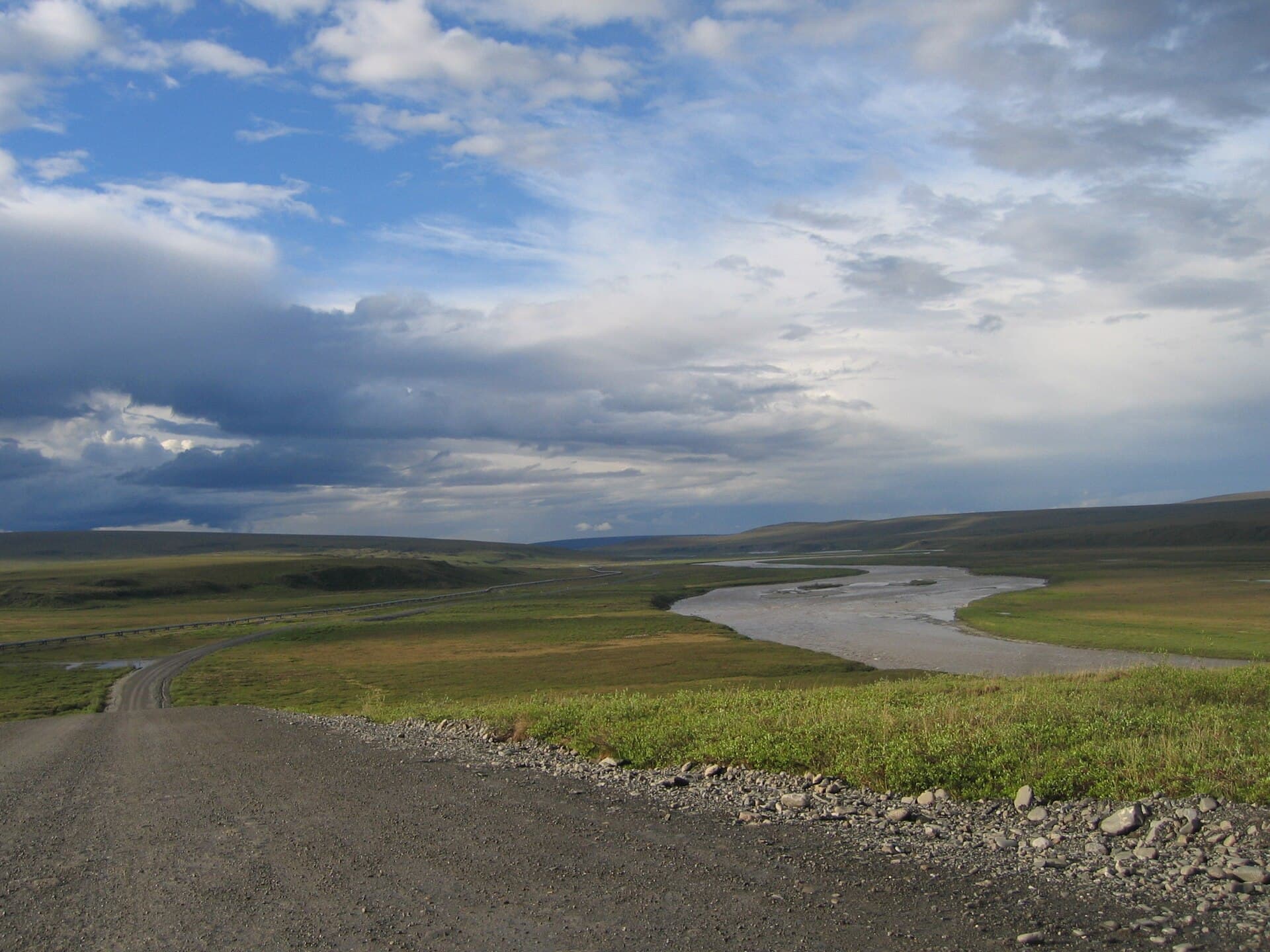
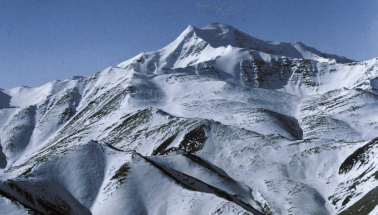
Mount Chamberlin rises to 9,020 feet in the Franklin Mountains of Alaska’s Brooks Range, offering one of the most isolated alpine experiences in North America. Located entirely within the Arctic National Wildlife Refuge, the peak provides sweeping tundra vistas, glacial cirques, and opportunities to observe caribou herds, grizzly bears, and Dall sheep in their natural habitat. Its remote position delivers genuine wilderness without crowds or infrastructure.

Getting There

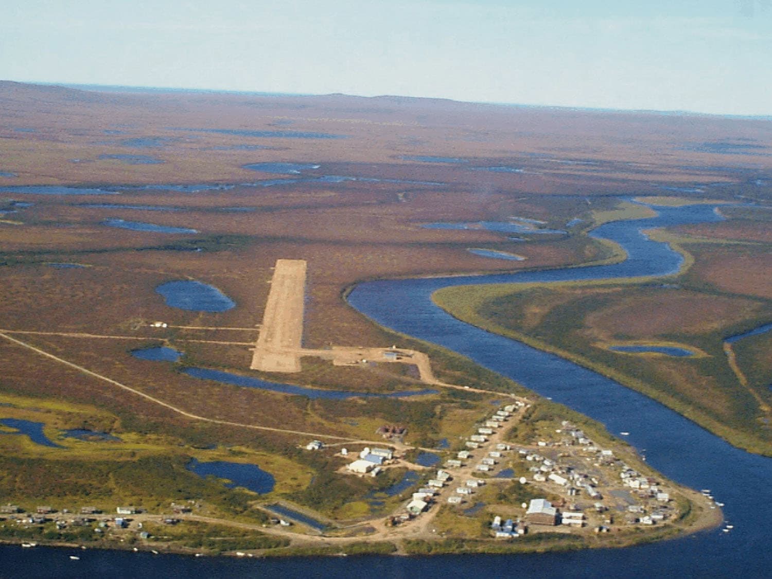
Access begins with a commercial flight to Fairbanks, followed by a bush-plane charter to Arctic Village or a remote gravel airstrip near the refuge boundary. From the landing area, travelers continue on foot or arrange a short helicopter drop for multi-day backpacking routes. No roads reach the mountain, so every visit requires careful planning for self-sufficiency.

Best Time to Visit

The optimal window runs from late June through early September when snow has melted from lower slopes and daylight lasts nearly 24 hours. July and August bring the warmest temperatures and active wildflowers, while late August often features the first autumn colors and migrating caribou. Winter travel demands advanced mountaineering skills and extreme cold-weather preparation.

Activities and Routes

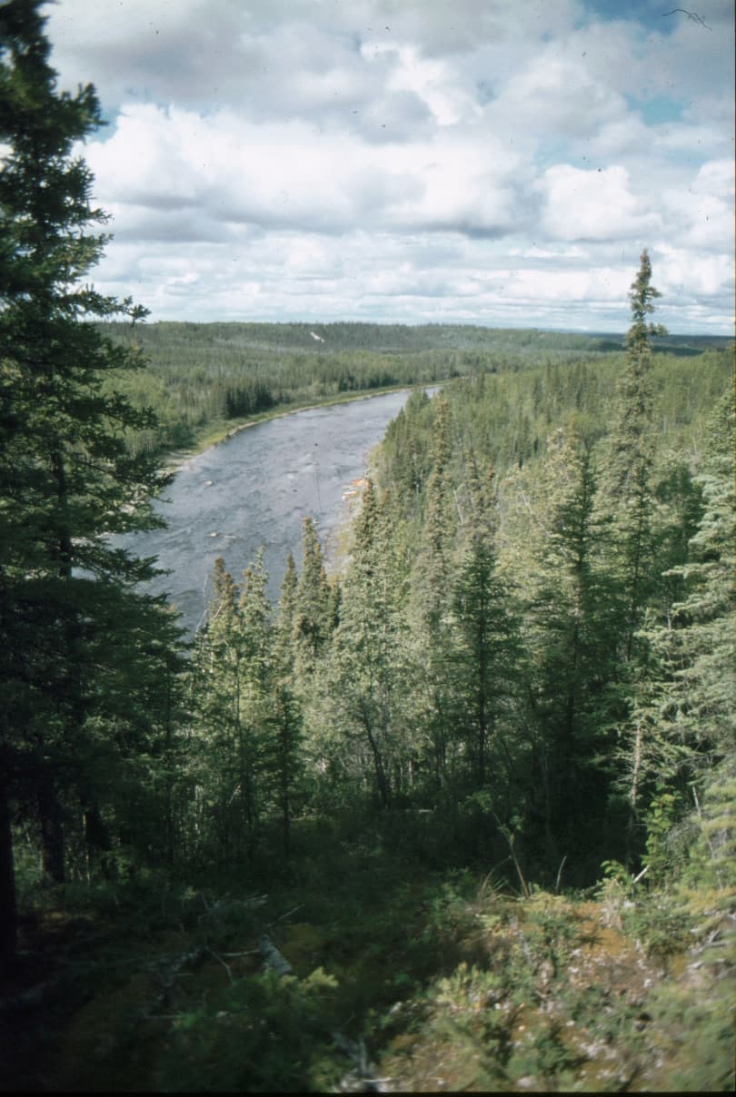
Experienced backpackers tackle multi-day loops that circle the peak via the Marsh Fork of the Canning River. Strong hikers can ascend the south ridge for non-technical views from the summit plateau. Photographers prize the golden-hour light on surrounding valleys, and wildlife watchers scan for wolves and golden eagles. Rafting sections of nearby rivers provides an alternative exit route for those who arrange float-plane pickups.

Wildlife and Safety Considerations

The refuge supports one of North America’s largest caribou populations; visitors must maintain distance and practice strict food storage. Grizzly bears frequent river corridors, making bear-resistant containers and group travel essential. Weather can shift rapidly from clear skies to whiteouts, requiring navigation tools and extra layers even in summer.

Nearby Destinations

Within a day’s hike or short flight lie other Brooks Range summits such as Mount Michelson and the headwaters of the Hulahula River. The coastal plain to the north offers stark contrast with its flat tundra and migratory bird concentrations. Many visitors combine a Chamberlin trip with a float down the Canning or Kongakut rivers for a complete Arctic immersion.

Visitor tips

  • Carry a satellite communicator and file a detailed itinerary with local air services, as cell coverage is nonexistent.
  • Pack layers for temperature swings from near-freezing nights to 70u00b0F days, plus insect repellent for peak mosquito season in July.
  • Obtain a refuge access permit in advance through the U.S. Fish and Wildlife Service and practice Leave No Trace principles in this fragile ecosystem.

Frequently asked questions

Do I need a permit to climb Mount Chamberlin?+

Yes, all visitors to the Arctic National Wildlife Refuge must register with the U.S. Fish and Wildlife Service before entering; no fee is charged but advance notification is required.

How difficult is the hike to the summit?+

The south ridge offers a non-technical ascent for fit hikers with route-finding experience, though the approach involves long distances over tundra and stream crossings.

Can I visit Mount Chamberlin in winter?+

Winter access is possible for experienced mountaineers but requires ski-plane support, extreme cold gear, and awareness of polar night conditions from November to January.

What wildlife might I see near Mount Chamberlin?+

Expect caribou, grizzly bears, Dall sheep, wolves, and golden eagles; maintain safe distances and follow all food-storage regulations.

Are there any facilities or trails at the mountain?+

There are no maintained trails, shelters, or services; visitors must be fully self-sufficient with all supplies and navigation equipment.

Share
Google Maps Apple Maps Directions

Image: Troyer, William. U.S. Fish and Wildlife Service · Public domain · via Wikimedia Commons

Keep reading

Nearby & related

All stories
Mount Dutton: Hiking Alaska’s Remote Volcanic Peak
Alaska

Mount Dutton: Hiking Alaska’s Remote Volcanic Peak

A guide to reaching and exploring the rugged summit of Mount Dutton on the Alaska Peninsula.

14 August 2026
Devils Thumb: Alaska’s Remote Granite Icon in the Stikine Icecap
Alaska

Devils Thumb: Alaska’s Remote Granite Icon in the Stikine Icecap

This striking 9,077-foot spire draws experienced climbers to its sheer walls amid Alaska’s vast icefields.

14 August 2026
Mount Recheshnoi: Hiking Alaska’s Remote Aleutian Volcano on Umnak Island
Alaska

Mount Recheshnoi: Hiking Alaska’s Remote Aleutian Volcano on Umnak Island

A guide to exploring the rugged volcanic terrain, wildlife, and isolation of Mount Recheshnoi in Alaska’s Aleutian…

14 August 2026