Why Visit Morro de la Agujereada
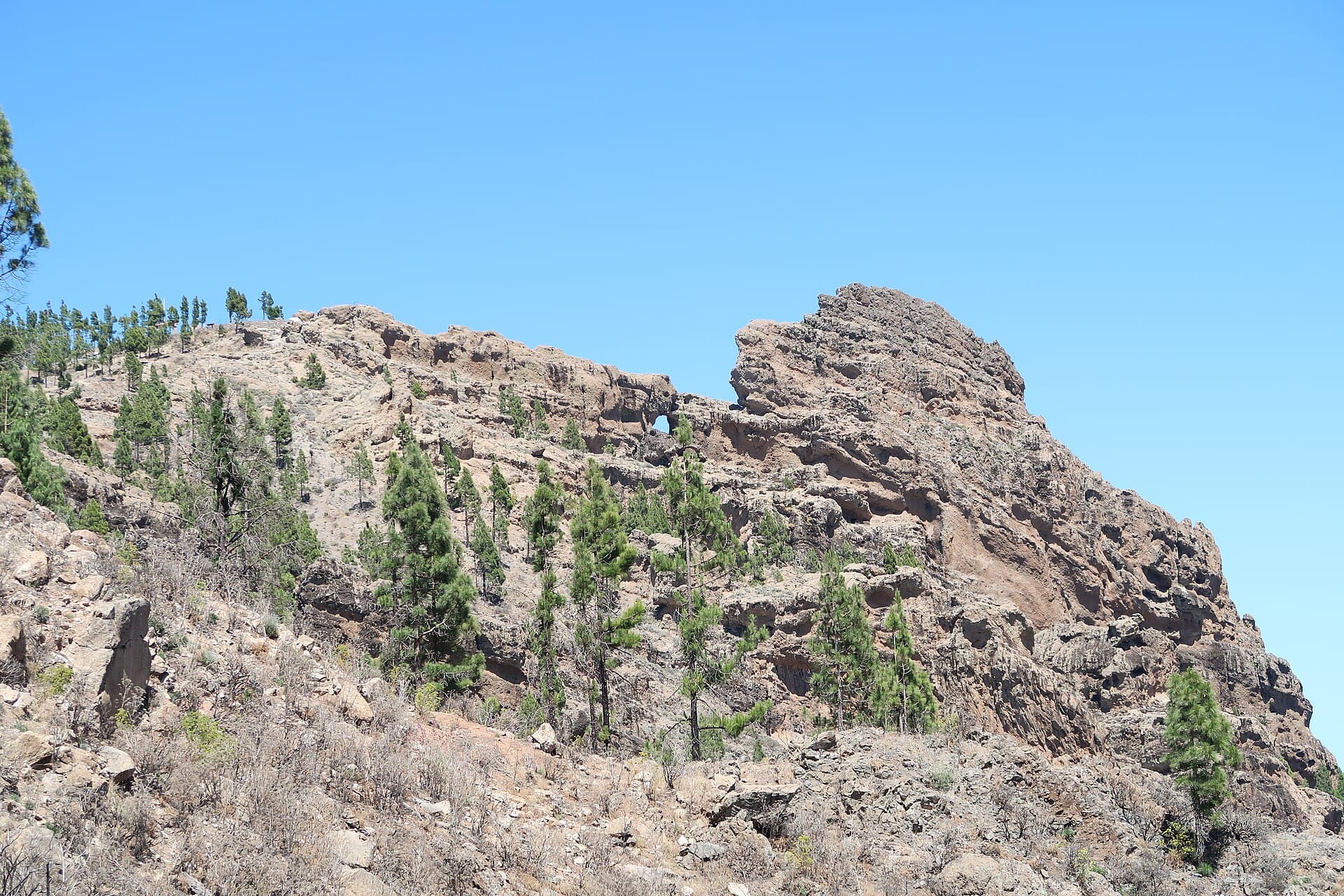
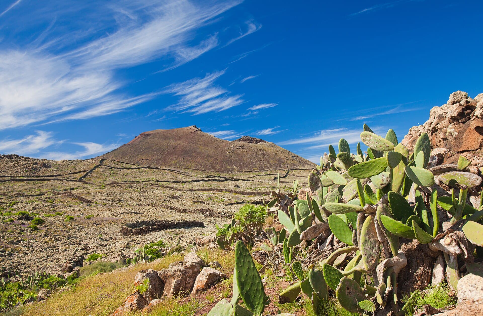
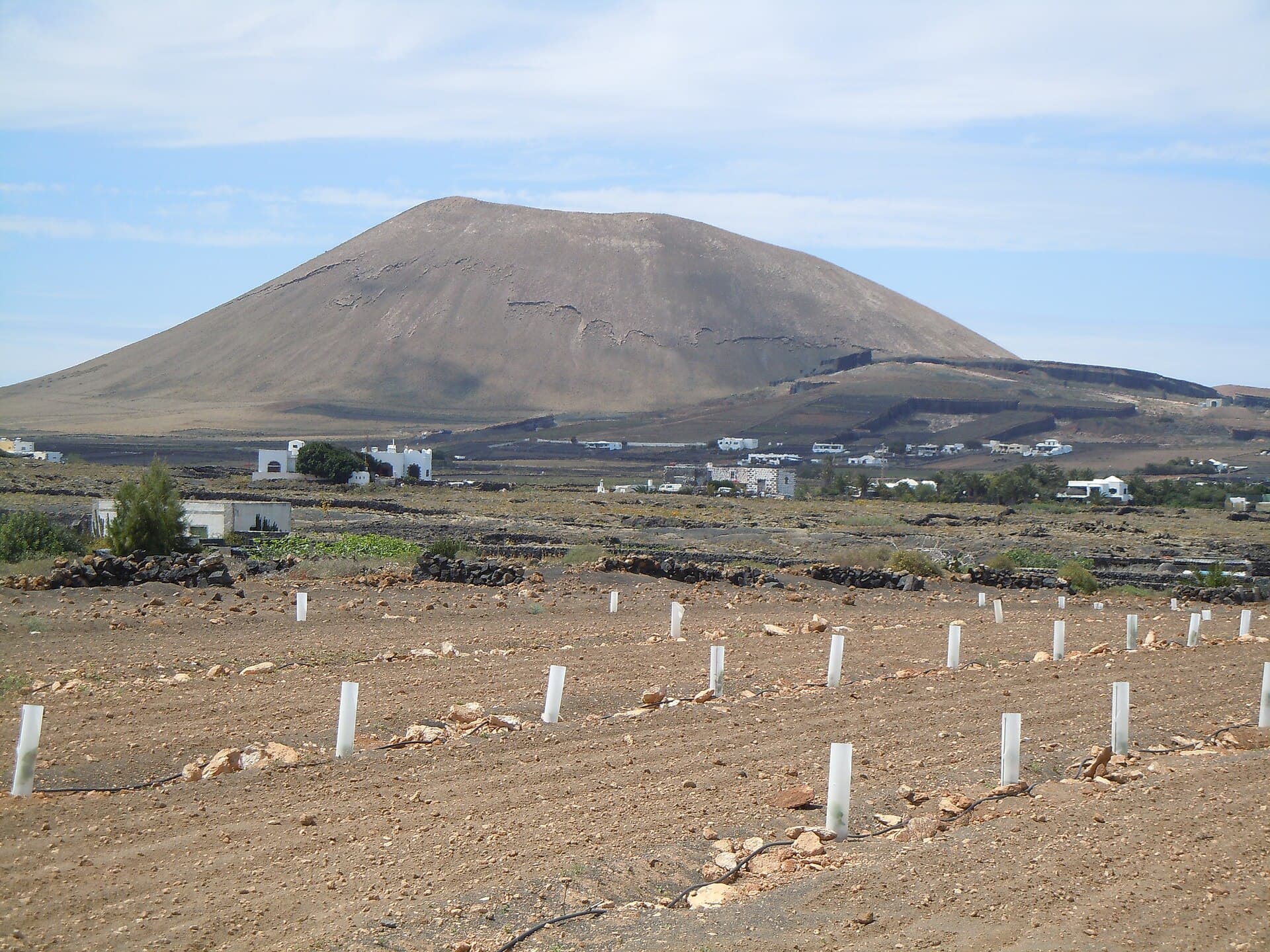
Morro de la Agujereada rises to 1,956 metres, making it the highest point on Gran Canaria. Its broad summit offers 360-degree panoramas across the island’s central highlands, the coast, and neighbouring Tenerife on clear days. The mountain’s volcanic ridges and steep slopes provide a stark contrast to the island’s popular beach resorts, delivering a genuine sense of isolation and scale.
Hiking to the Summit
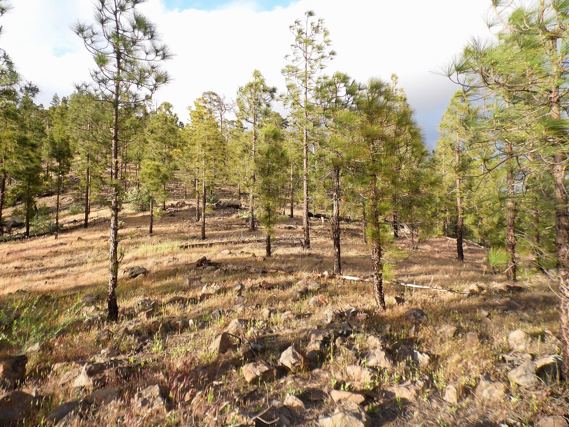
The most common route starts from the road near Cruz de Tejeda and follows a well-marked trail that climbs steadily through pine forest before emerging onto open ridges. The final section crosses rocky ground with occasional cairns. Expect a round-trip of four to five hours with roughly 500 metres of ascent. The path is exposed, so early starts are essential to avoid afternoon cloud build-up.
Alternative Approaches
A longer traverse begins from Artenara and links Morro de la Agujereada with the nearby Roque Nublo rock formation. This option adds distance but combines two of the island’s most iconic landmarks in a single day.
Getting There
From Las Palmas, take the GC-21 south toward Tejeda and continue on the GC-150 to the parking area below Cruz de Tejeda. From the south coast, the GC-60 and GC-605 provide access via Fataga and San Bartolomé de Tirajana. Rental cars are the most practical option; public buses reach Tejeda but leave limited flexibility for trailhead transfers.
Best Time to Visit
April through June and September through October offer the most stable weather. Winter months can bring strong winds and occasional snow on the summit, while July and August are hot even at altitude. Always check the mountain forecast before setting out.
Nearby Attractions
- Roque Nublo, a 70-metre basalt monolith reachable by a short detour from the main trail.
- The village of Tejeda, known for almond blossom in February and traditional Canarian restaurants.
- Pico de las Nieves, the island’s second-highest peak, offering a shorter walk with similar views.