Skip to content
Plan & Tour
DestinationsItinerariesTravel BlogAboutContact
0Sign inPlan a trip
Plan & TourPlan & Tour

Travel guides, destination inspiration and curated itineraries for Canada, the USA and beyond, plus a free tool to plan your own day-by-day trip.

Get travel inspiration

Explore

  • All Destinations
  • Curated Itineraries
  • Travel Blog
  • Plan a Trip

Topics

  • Hiking & Nature
  • Food & Drink
  • City Breaks
  • Budget Travel

Company

  • About Us
  • Contact
  • Privacy Policy
  • Terms of Service

© 2026 Plan & Tour. Built for travellers.

Discover the world, one trip at a time.

Montaña de Ajódar: Hiking Gran Canaria’s Quiet Volcanic Summit
  1. Home
  2. Destinations
  3. Las Palmas
  4. Montaña de Ajódar: Hiking Gran Canaria’s Quiet Volcanic Summit
Mountain

Montaña de Ajódar: Hiking Gran Canaria’s Quiet Volcanic Summit

A rugged, lesser-known peak offering sweeping island views and peaceful trails in the Canary Islands.

Las PalmasUpdated 12 November 2026

Why Visit Montaña de Ajódar

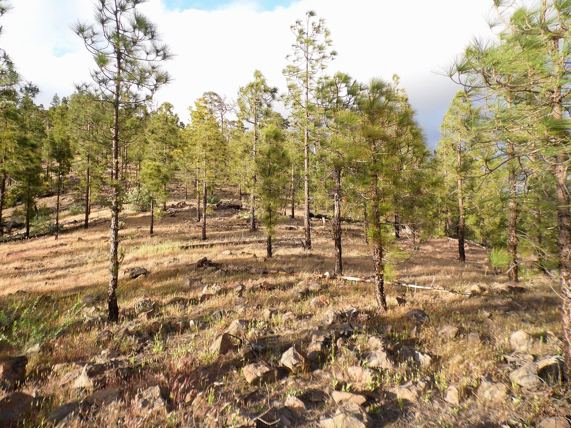
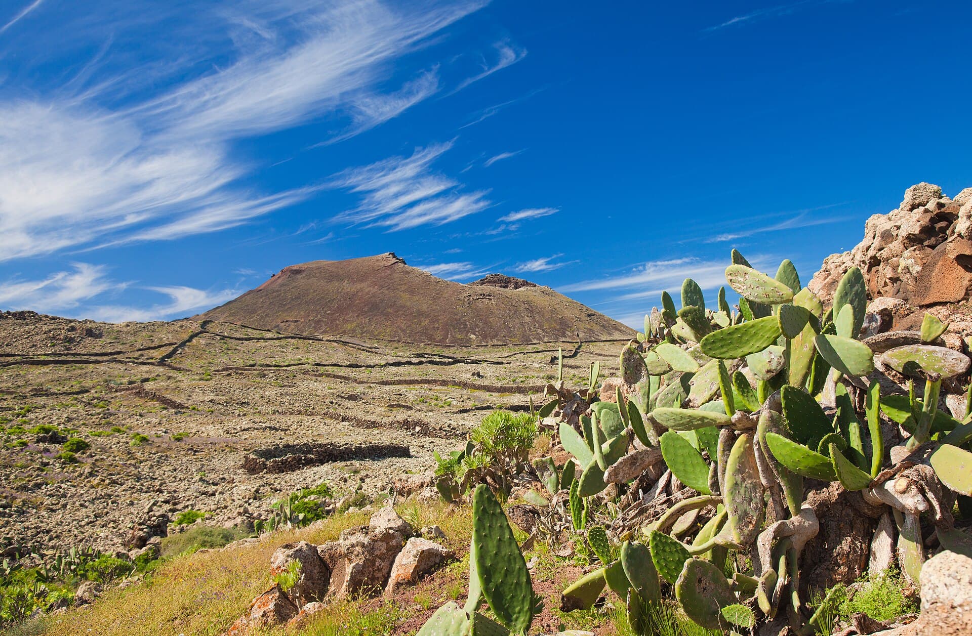
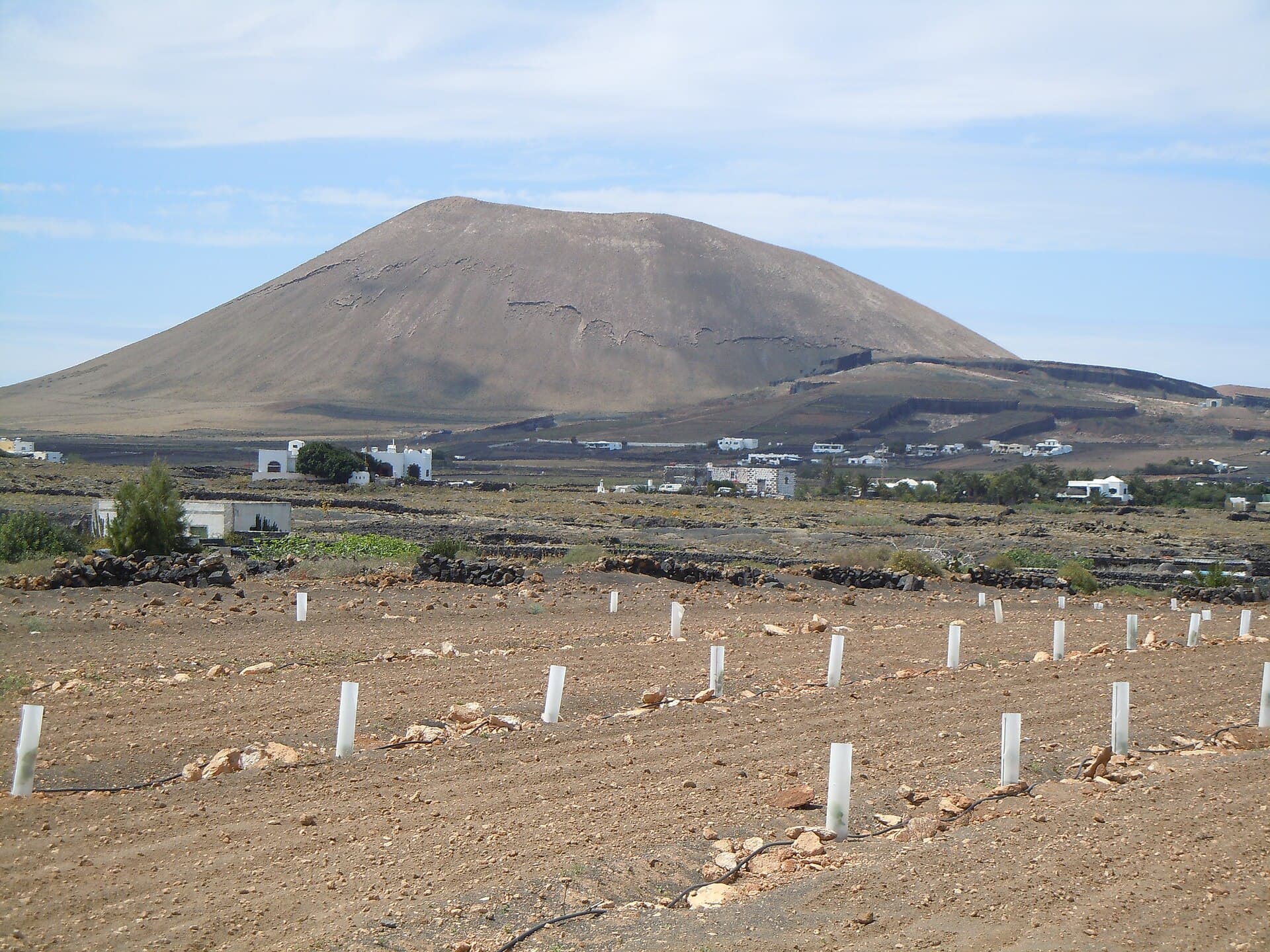
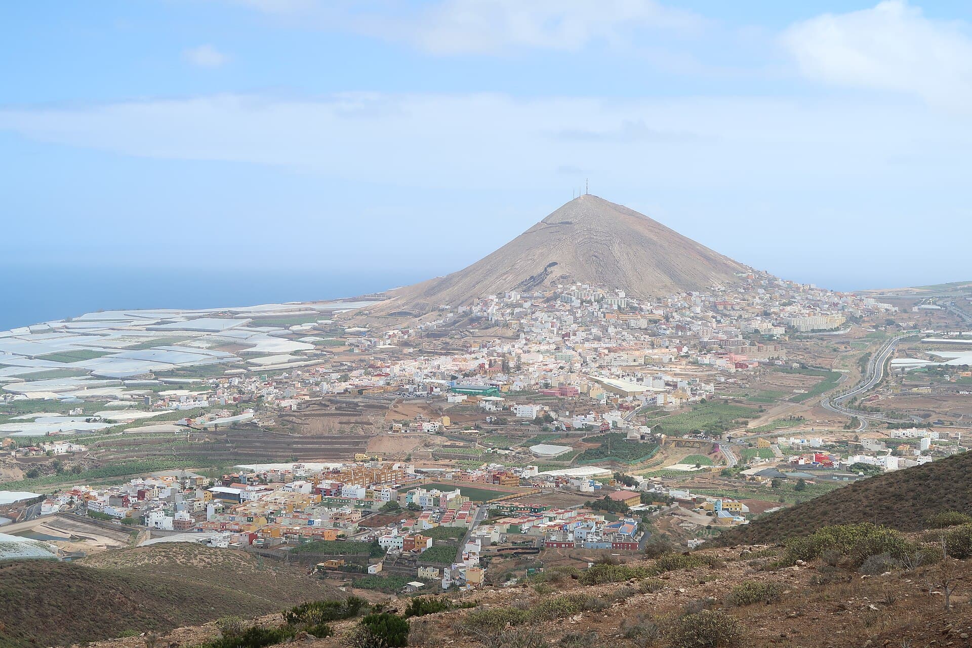
Montaña de Ajódar rises as a distinctive volcanic cone in the western highlands of Gran Canaria, rewarding hikers with unobstructed panoramas across terraced valleys, distant ridges, and the Atlantic. Its dark basaltic slopes contrast with the surrounding pine forests and almond groves, creating a landscape shaped by ancient eruptions and centuries of traditional farming.

How to Get There

Reach the mountain from Las Palmas by driving the GC-21 or GC-220 roads toward the interior, then following local tracks near the village of Ajódar. Public buses serve nearby settlements, after which a short taxi or walk leads to trailheads. Park in designated areas to avoid blocking narrow rural lanes.

Best Time to Visit

Spring and autumn bring mild temperatures ideal for hiking, with wildflowers in bloom and clearer skies. Summer heat makes midday ascents uncomfortable, while winter can bring occasional rain and stronger winds on the exposed summit. Early mornings offer the calmest conditions and best light for photography.

What to See and Do

The main activity is the steady hike to the summit along well-defined paths that wind through Canary pine and rockrose. Along the way, look for endemic lizards basking on stones and the occasional Barbary falcon overhead. At the top, the 360-degree view takes in Roque Nublo to the east and the coastal cliffs near Agaete to the north. Photographers favor the golden hour when the volcanic rock glows against the sea.

Flora and Geology

The slopes host drought-adapted species such as the Canary Island spurge and tabaiba, which stabilize the loose volcanic soil. Exposed lava flows and small craters illustrate the island’s volcanic origins, offering simple lessons in geology without needing a guide.

Nearby Attractions

Combine a visit with the dramatic cliffs of Barranco de Guayedra or the almond blossom routes around Tejeda in February. The historic village of Agaete provides fresh seafood and a harbor for those extending the day toward the coast.

Visitor tips

  • Wear sturdy hiking boots with good grip, as paths include loose scree near the summit.
  • Carry at least two liters of water per person and a light windproof jacket for sudden gusts at the top.
  • Check local weather forecasts the evening before, as mountain conditions can change quickly even on clear days.

Frequently asked questions

How difficult is the hike up Montau00f1a de Aju00f3dar?+

The ascent is moderate for most fit walkers, with steady elevation gain on clear paths; allow two to three hours round-trip depending on pace and stops.

Are there marked trails or do I need a map?+

Main routes are visible on the ground and can be followed with a basic GPX file or local signage, but carrying a topographic map or offline GPS is recommended for side paths.

Can children or older adults manage the climb?+

The trail suits active families and seniors comfortable with uneven terrain, though the final steep section may require extra care and frequent rests.

Is there shade or water on the mountain?+

Shade is limited above the tree line, and no reliable springs exist, so bring all required water and sun protection.

What wildlife might I see?+

Expect to spot lizards, chaffinches, and possibly kestrels or ravens; larger mammals are rare but goats sometimes graze the lower slopes.

Share
Google Maps Apple Maps Directions

Image: Olo72 · CC BY-SA 4.0 · via Wikimedia Commons

Keep reading

Nearby & related

All stories
Inagua Natural Reserve: Gran Canaria’s Rugged Protected Wilderness
Las Palmas

Inagua Natural Reserve: Gran Canaria’s Rugged Protected Wilderness

Discover volcanic ridges, endemic pine forests, and rare birdlife in this quiet corner of the Canary Islands.

12 November 2026
Malpaís de la Arena: Hiking Fuerteventura’s Ancient Lava Badlands
Las Palmas

Malpaís de la Arena: Hiking Fuerteventura’s Ancient Lava Badlands

Discover the stark volcanic beauty and quiet trails of this protected lava field on Fuerteventura’s northern coast.

12 November 2026
Montaña Tamia: Hiking Lanzarote’s Underrated Volcanic Summit
Las Palmas

Montaña Tamia: Hiking Lanzarote’s Underrated Volcanic Summit

A serene hike up Montaña Tamia delivers sweeping views across Lanzarote’s volcanic landscape without the crowds.

12 November 2026