Skip to content
Plan & Tour
DestinationsItinerariesTravel BlogAboutContact
0Sign inPlan a trip
Plan & TourPlan & Tour

Travel guides, destination inspiration and curated itineraries for Canada, the USA and beyond, plus a free tool to plan your own day-by-day trip.

Get travel inspiration

Explore

  • All Destinations
  • Curated Itineraries
  • Travel Blog
  • Plan a Trip

Topics

  • Hiking & Nature
  • Food & Drink
  • City Breaks
  • Budget Travel

Company

  • About Us
  • Contact
  • Privacy Policy
  • Terms of Service

© 2026 Plan & Tour. Built for travellers.

Discover the world, one trip at a time.

Montagna dei Fiori: Hiking the Wildflower Mountain of Abruzzo
  1. Home
  2. Destinations
  3. Province of Teramo
  4. Montagna dei Fiori: Hiking the Wildflower Mountain of Abruzzo
Mountain

Montagna dei Fiori: Hiking the Wildflower Mountain of Abruzzo

A year-round nature destination in Teramo province offering trails through karst meadows and sweeping Apennine views.

Province of TeramoUpdated 14 August 2026

Introduction to Montagna dei Fiori

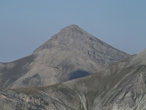
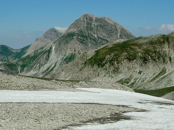
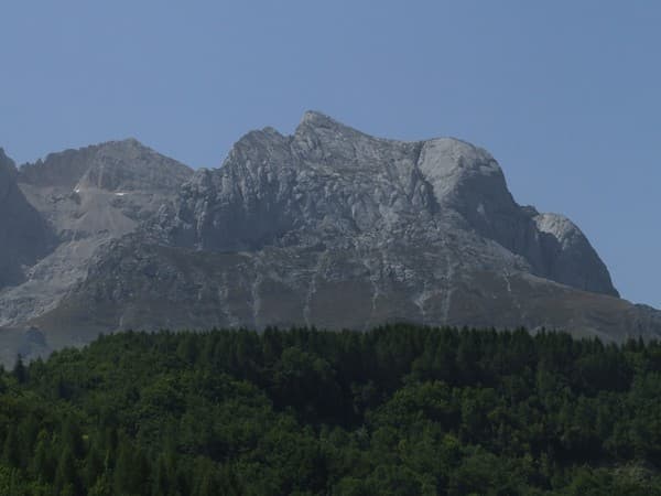
Montagna dei Fiori rises in the Monti della Laga range within the Gran Sasso e Monti della Laga National Park, straddling the border between Abruzzo and Marche. Its name reflects the carpets of wildflowers that appear each spring across limestone plateaus and gentle slopes. The massif reaches just over 1,800 meters, creating a compact highland area ideal for day hikes rather than multi-day treks.

Flora, Fauna and Landscape

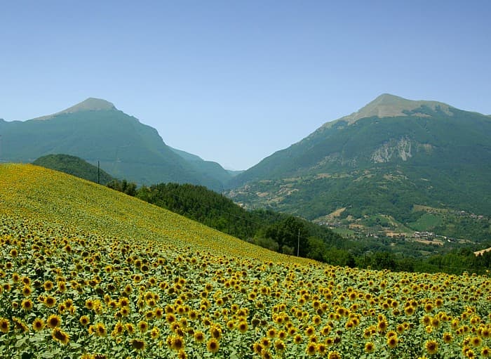
Early summer brings gentians, orchids and narcissus across open meadows, while autumn colors the beech woods below the ridges. Griffon vultures and golden eagles patrol the skies, and chamois can occasionally be spotted on steeper rock faces. The karst terrain features sinkholes, small caves and dry valleys that drain quickly after rain, giving the mountain a distinctive open, windswept character.

Recommended Trails

  • Loop from the hamlet of Valle Castellana to the summit cross at 1,814 m via the western ridge, about four hours round-trip.
  • Shorter ascent from the eastern approach near Civitella del Tronto that passes through mixed woodland before opening onto flower meadows.
  • Panoramic traverse linking Montagna dei Fiori with neighboring Monte Gorzano for experienced walkers with good navigation skills.

Getting There and Practical Access

Most visitors arrive by car from Teramo, following the SS80 toward the Monti della Laga and then narrow roads to trailheads at Valle Castellana or the Passo delle Ciarelle. Public transport is limited; regional buses reach nearby villages but require onward taxi or long walks. Parking at the main trailheads is free but fills quickly on summer weekends. No cable cars or mechanical lifts exist, preserving the mountain’s quiet atmosphere.

Best Time to Visit

Late May through early July offers peak wildflower displays and comfortable temperatures for hiking. September and October bring clear air and fewer visitors, with the added interest of autumn foliage at lower elevations. Winter snow transforms the ridges into a destination for ski touring or snowshoeing, though access roads may close after heavy falls.

Nearby Attractions

Combine a visit with the imposing fortress of Civitella del Tronto, the medieval hill town of Ascoli Piceno with its travertine squares, or the dramatic gorges of the Gran Sasso massif. The Adriatic coast lies less than an hour’s drive east, allowing a mountain-to-sea itinerary in a single day.

Visitor tips

  • Carry at least two liters of water per person; natural springs are seasonal and unreliable in summer.
  • Wear sturdy boots with good gripu2014limestone can be slippery when wet or covered in loose gravel.
  • Download offline maps; mobile coverage is patchy above 1,400 m and marked paths are not always frequent.
  • Check weather forecasts carefully; afternoon thunderstorms are common in July and August on exposed ridges.

Frequently asked questions

Is Montagna dei Fiori suitable for beginners?+

The shorter trails from Valle Castellana are manageable for fit walkers with basic fitness, but the terrain is rocky and steep in places; novices should choose the easiest loops and avoid summit attempts in poor weather.

Are there any facilities or refuges on the mountain?+

No staffed mountain huts exist. Bring all food, water and emergency supplies; the nearest services are in the valley villages.

Can I visit in winter?+

Yes, but only with proper winter equipment such as crampons or snowshoes and avalanche awareness, as access roads often close and the ridges hold snow for months.

How crowded does it get?+

The mountain remains relatively quiet even in peak season compared with Gran Sasso; mid-week visits and early starts help avoid the few local hiking groups.

Is wild camping allowed?+

Camping is prohibited within the national park boundaries; overnight stays are limited to authorized valley campsites or agriturismi.

Share
Google Maps Apple Maps Directions

Image: No machine-readable author provided. Idéfix~commonswiki assumed (based on copyright claims). · CC BY-SA 3.0 · via Wikimedia Commons

Keep reading

Nearby & related

All stories
Monte Corvo: Hiking the Rugged Monti della Laga in Abruzzo
Province of Teramo

Monte Corvo: Hiking the Rugged Monti della Laga in Abruzzo

Climb Monte Corvo for sweeping views across the Gran Sasso e Monti della Laga National Park and quiet trails through…

14 August 2026
Pizzo Intermesoli: Hiking the Gran Sasso’s Quiet Summit in Abruzzo
Province of Teramo

Pizzo Intermesoli: Hiking the Gran Sasso’s Quiet Summit in Abruzzo

Explore the sweeping ridgelines, wildflower meadows, and remote trails of this distinctive peak in Italy’s Gran Sasso…

14 August 2026
Corno Piccolo: Hiking Abruzzo’s Striking Gran Sasso Summit
Province of Teramo

Corno Piccolo: Hiking Abruzzo’s Striking Gran Sasso Summit

A demanding yet rewarding peak in Italy’s Gran Sasso e Monti della Laga National Park offering dramatic Apennine views…

14 August 2026