Skip to content
Plan & Tour
DestinationsItinerariesTravel BlogAboutContact
0Sign inPlan a trip
Plan & TourPlan & Tour

Travel guides, destination inspiration and curated itineraries for Canada, the USA and beyond, plus a free tool to plan your own day-by-day trip.

Get travel inspiration

Explore

  • All Destinations
  • Curated Itineraries
  • Travel Blog
  • Plan a Trip

Topics

  • Hiking & Nature
  • Food & Drink
  • City Breaks
  • Budget Travel

Company

  • About Us
  • Contact
  • Privacy Policy
  • Terms of Service

© 2026 Plan & Tour. Built for travellers.

Discover the world, one trip at a time.

Mola de s’Esclop: Summit Hike in Mallorca’s Serra de Tramuntana
  1. Home
  2. Destinations
  3. Balearic Islands
  4. Mola de s’Esclop: Summit Hike in Mallorca’s Serra de Tramuntana
Mountain

Mola de s’Esclop: Summit Hike in Mallorca’s Serra de Tramuntana

A steady climb through pine forest and rocky terrain leads to sweeping island views from this distinctive Tramuntana peak.

Balearic IslandsUpdated 21 September 2026

Why Mola de s’Esclop Rewards the Effort

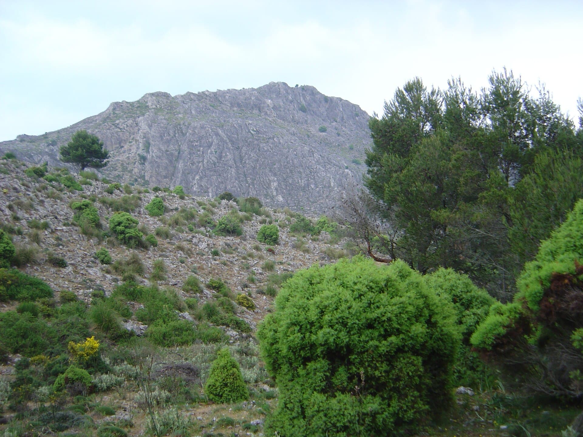
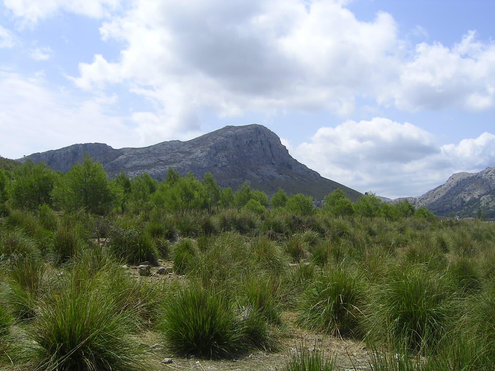
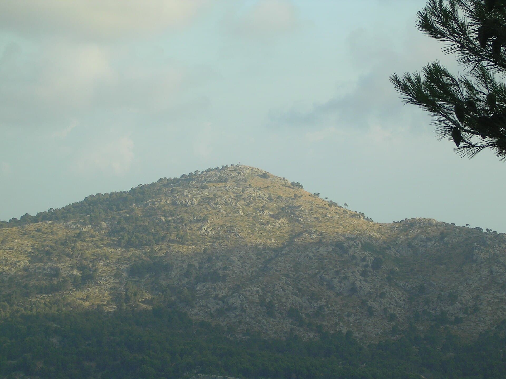
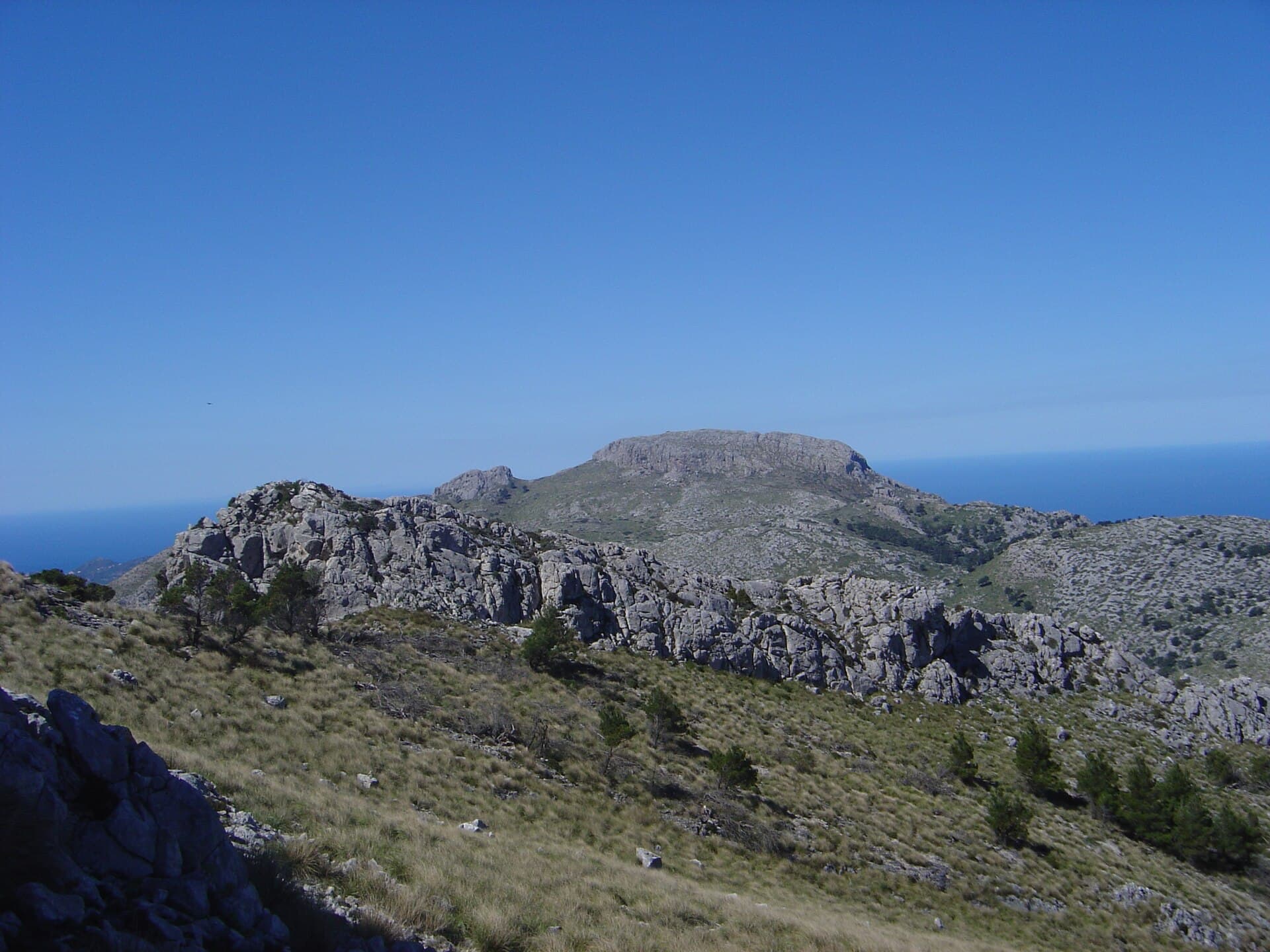
Mola de s’Esclop rises as a prominent limestone summit in Mallorca’s UNESCO-listed Serra de Tramuntana. Its broad, flat-topped profile offers hikers a clear goal and 360-degree panoramas that stretch from the Mediterranean to the island’s central plains. The route passes through fragrant Aleppo pine woods and open limestone karst, revealing the geological character that defines the range.

Reaching the Trailhead

Most visitors drive from Palma or the western coast towns of Andratx and Calvià. The approach follows narrow mountain roads that wind through terraced olive groves and small fincas; parking is available at the Coll de sa Gramola or nearby forest tracks. Public buses reach the lower valleys, but a taxi or rental car is usually required for the final ascent to the trail start. The hike itself is a well-marked out-and-back on GR-221 sections and local paths.

Best Time to Climb

Spring (March–May) and autumn (September–November) deliver mild temperatures and clear visibility. Summer heat makes the exposed upper slopes uncomfortable; winter brings cooler air but occasional snow or ice on the summit. Early morning starts avoid both midday sun and the occasional mist that can roll in from the sea.

The Route and Summit

The standard trail climbs steadily through forest for roughly two hours before emerging onto open rock. Cairns and occasional paint marks guide the final scramble to the large summit cross. From the top, the views take in Puig Major, the Formentor peninsula, and the distant Cabrera archipelago on clear days. Allow four to five hours round-trip including rests.

Nearby Experiences

Combine the hike with a visit to the terraced landscapes around Banyalbufar or a coastal walk near Port d’Andratx. The Tramuntana road network also connects to other notable peaks such as Sa Mola and Puig de Massanella, allowing multi-day itineraries for serious walkers.

Visitor tips

  • Carry at least two litres of water per person; there are no reliable sources on the upper slopes.
  • Wear sturdy hiking shoes with good grip for the loose limestone and occasional short scramble near the summit.
  • Check the weather forecast the evening before; strong winds or low cloud can make the ridge unpleasant even when the valley is calm.

Frequently asked questions

How difficult is the hike to Mola de s'Esclop?+

The route is moderate for experienced walkers, with steady elevation gain on clear paths and a short rocky section at the top. No technical climbing is required.

Is Mola de s'Esclop suitable for children?+

Fit teenagers usually manage the hike, but the distance and rocky terrain make it unsuitable for younger children or anyone with poor balance.

Are there facilities at the trailhead or summit?+

No services exist on the mountain itself. Bring all supplies and use toilets in nearby villages before starting.

Can I combine the hike with other Tramuntana trails?+

Yes. The peak sits on sections of the GR-221 long-distance path, allowing links to neighbouring summits or valley routes for longer days.

What should I do if the weather turns during the hike?+

Descend immediately if mist, strong wind, or rain arrives. The upper slopes offer little shelter and navigation becomes harder in poor visibility.

Share
Google Maps Apple Maps Directions

Image: Antoni Sureda · CC BY-SA 3.0 · via Wikimedia Commons

Keep reading

Nearby & related

All stories
Puig de na Franquesa: Hiking Mallorca’s Quiet Tramuntana Summit
Balearic Islands

Puig de na Franquesa: Hiking Mallorca’s Quiet Tramuntana Summit

A rewarding moderate hike through olive groves and pine forests to sweeping views over the Serra de Tramuntana and the…

21 September 2026
Puig de sa Rateta: Hiking Mallorca’s Quiet Tramuntana Summit
Balearic Islands

Puig de sa Rateta: Hiking Mallorca’s Quiet Tramuntana Summit

A rewarding, lesser-known peak in the Serra de Tramuntana offering sweeping views without the crowds.

21 September 2026
Puig de la Bassa: Hiking the Quiet Summit in Mallorca’s Tramuntana
Balearic Islands

Puig de la Bassa: Hiking the Quiet Summit in Mallorca’s Tramuntana

A rewarding hike to sweeping Mediterranean views on this lesser-known peak in the Balearic Islands.

21 September 2026