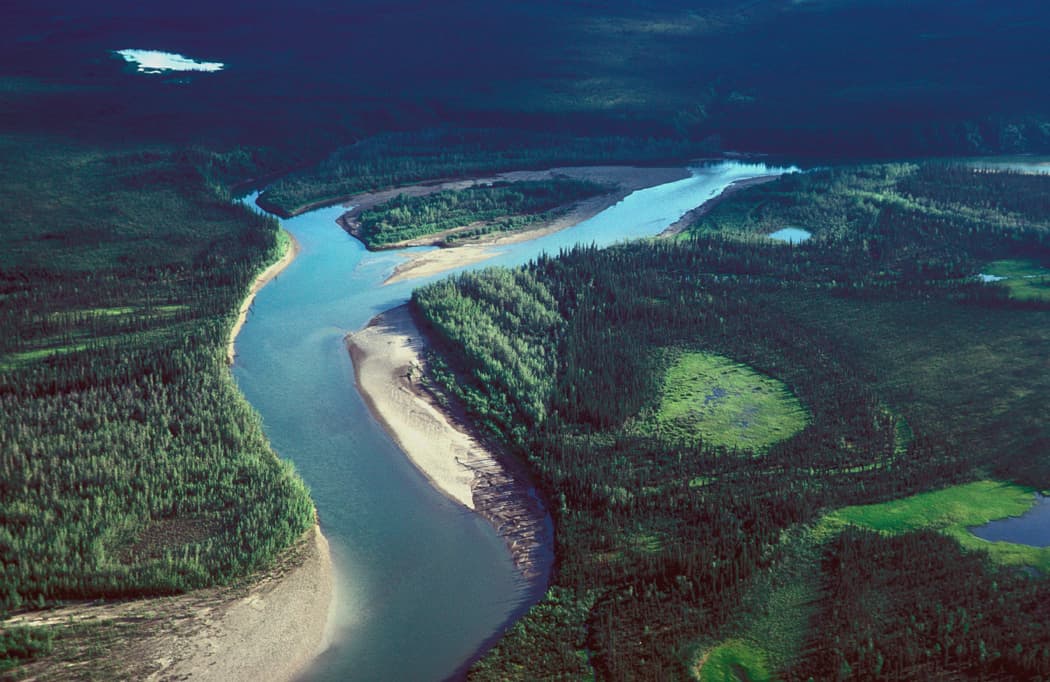
Keep reading
Nearby & related
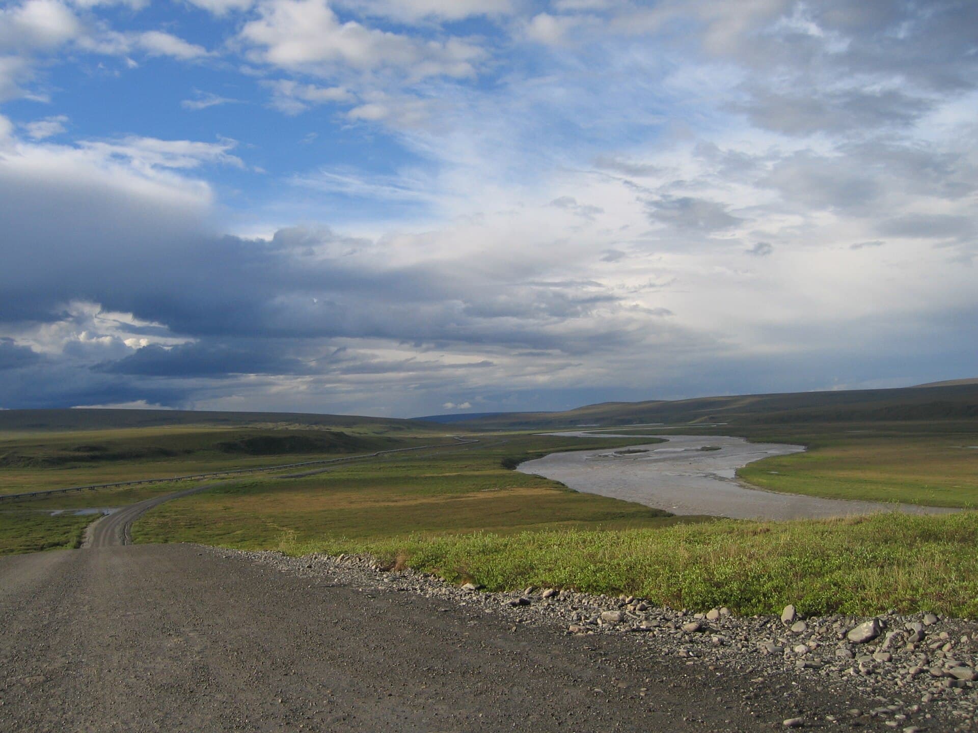
Sagavanirktok River: Rafting Alaska’s Remote Arctic Frontier
Experience the wild, roadless beauty of one of Alaska’s northernmost rivers on the North Slope.
17 August 2026
The Kokolik River offers pristine tundra landscapes, exceptional fishing, and true solitude in Alaska's far northern reaches.
Flowing across the flat, windswept tundra of the North Slope Borough, the Kokolik River drains a vast, roadless watershed before emptying into the Chukchi Sea. Its clear waters and untouched banks attract travelers seeking genuine Arctic wilderness rather than developed attractions. The river supports healthy populations of Dolly Varden char and Arctic grayling, while the surrounding plains host migrating caribou herds and nesting waterfowl each summer.
Access begins with a commercial flight to Utqiagvik (Barrow) or a charter to the small community of Point Lay. From either hub, visitors arrange bush-plane flights or boat transport to put-in points along the upper or middle river. No roads reach the Kokolik, so all travel occurs by air or water; travelers must coordinate logistics carefully with local operators familiar with seasonal river conditions.
June through early September provides 24-hour daylight, ice-free water, and temperatures warm enough for multi-day float trips. July typically offers the most stable weather for fishing and wildlife viewing, while late August brings cooler nights and the first hints of fall color on the tundra. Winter visits require extreme preparation and are suited only to experienced expedition teams.
Multi-day rafting or canoe trips let paddlers cover long stretches of gentle current while scanning for wildlife. Anglers wade or drift-fish productive pools for char that often exceed 20 inches. Photographers and birders find abundant subjects along the banks and in nearby coastal lagoons. Short hikes onto the tundra reveal archaeological sites and sweeping views of the Brooks Range foothills on clear days.
The Kokolik lies west of the Utukok River and north of the National Petroleum Reserve–Alaska. Travelers can extend journeys to the coastal plain near Point Lay for walrus haul-outs or continue westward toward Cape Lisburne for dramatic sea-cliff scenery. These extensions require additional permits and planning through federal or borough land managers.
Because the region remains largely undeveloped, visitors experience the Arctic as it has existed for millennia. The combination of solitude, productive fishing, and vast open landscapes makes the Kokolik a rare destination for those prepared for true self-sufficiency.
Keep reading
Experience the wild, roadless beauty of one of Alaska’s northernmost rivers on the North Slope.
Fly commercially to Utqiagvik, then charter a bush plane or arrange boat transport to a river put-in; no roads connect the area.
Anglers target Dolly Varden char and Arctic grayling in clear, cold waters; fly fishing and spinning tackle both work well during summer.
The river is generally Class Iu2013II, but remoteness and lack of rescue services make it appropriate only for experienced wilderness travelers or guided groups.
Expect caribou, grizzly bears, Arctic foxes, and numerous migratory birds; polar bears are possible near the coastal delta in late summer.
There are no developed facilities; visitors must be fully self-sufficient with all food, shelter, and safety equipment for the duration of their trip.
The John River offers intrepid travelers a rare chance to paddle through untouched Arctic wilderness in Alaska’s North…
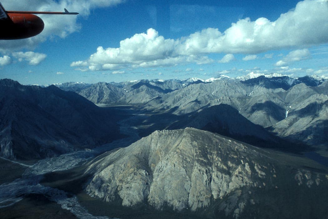
Experience pristine Arctic tundra, trophy fishing, and untouched Brooks Range scenery on this wild North Slope river.