Skip to content
Plan & Tour
DestinationsItinerariesTravel BlogAboutContact
0Sign inPlan a trip
Plan & TourPlan & Tour

Travel guides, destination inspiration and curated itineraries for Canada, the USA and beyond, plus a free tool to plan your own day-by-day trip.

Get travel inspiration

Explore

  • All Destinations
  • Curated Itineraries
  • Travel Blog
  • Plan a Trip

Topics

  • Hiking & Nature
  • Food & Drink
  • City Breaks
  • Budget Travel

Company

  • About Us
  • Contact
  • Privacy Policy
  • Terms of Service

© 2026 Plan & Tour. Built for travellers.

Discover the world, one trip at a time.

Kings Peak: Hiking Vancouver Island’s Highest Summit in Strathcona Provincial Park
  1. Home
  2. Destinations
  3. British Columbia
  4. Kings Peak: Hiking Vancouver Island’s Highest Summit in Strathcona Provincial Park
Mountain

Kings Peak: Hiking Vancouver Island’s Highest Summit in Strathcona Provincial Park

Summit British Columbia’s tallest island peak for sweeping alpine views and a true backcountry challenge.

British ColumbiaUpdated 31 July 2026

Why Kings Peak Is Worth the Climb

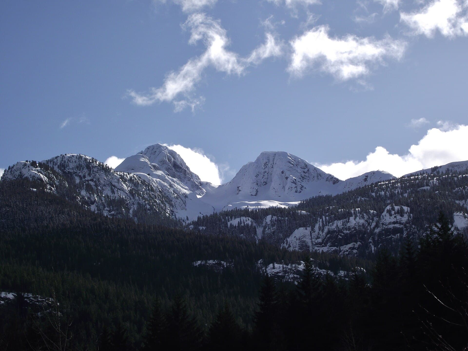
Kings Peak rises as the highest point on Vancouver Island, offering hikers a rare chance to stand above the island’s rugged interior. Located within Strathcona Provincial Park, the mountain delivers expansive views across jagged peaks, turquoise lakes, and coastal inlets on clear days. Its remote setting rewards those who prepare for a full-day or overnight adventure with solitude rarely found on more accessible Vancouver Island trails.

The Route and What to Expect

The standard approach begins from trailheads near Forbidden Plateau or the Mount Albert Edward area. Hikers follow well-defined paths through subalpine meadows before transitioning to steeper, rocky terrain and occasional snow patches even in summer. The final ascent involves scrambling over loose rock and navigating route-finding sections. Total elevation gain exceeds 1,500 metres, making physical fitness and route-finding skills essential.

Key Highlights Along the Way

  • Alpine wildflower meadows blooming in midsummer
  • Panoramic vistas of Golden Hinde and surrounding peaks
  • Possible wildlife sightings including marmots and eagles
  • Clear-weather views stretching to the Strait of Georgia

Getting There

Access requires driving to Strathcona Provincial Park via Highway 19 and park roads, followed by several kilometres of hiking on established trails. No direct road reaches the summit; visitors must plan for a multi-hour approach on foot. Four-wheel-drive vehicles help on rough park access roads, but conditions vary with weather.

Best Time to Visit

July through September offers the most reliable snow-free conditions and longer daylight. Early summer may still hold lingering snowfields, while fall brings cooler temperatures and possible early storms. Always check current park conditions before departure.

Nearby Adventures

Combine the trip with nearby Mount Albert Edward or explore the many lakes and ridges within Strathcona Provincial Park. The park also features other high peaks and extensive trail networks for multi-day backpacking.

Visitor tips

  • Carry a detailed topographic map and GPS, as the upper mountain requires careful navigation.
  • Pack layers for rapid weather changes, including windproof shells and extra insulation.
  • Start early to allow time for the long approach and potential route-finding delays on descent.

Frequently asked questions

How difficult is the hike to Kings Peak?+

The route is strenuous, involving significant elevation gain, rocky scrambling, and route-finding. It suits experienced hikers comfortable with off-trail travel.

Do I need a permit to hike Kings Peak?+

No special summit permit is required, but standard park entry rules for Strathcona Provincial Park apply and backcountry camping permits may be needed for overnight stays.

Is there cell service on the mountain?+

Coverage is unreliable or nonexistent above treeline; plan to be self-sufficient with a satellite communicator or personal locator beacon recommended.

Can beginners attempt Kings Peak?+

The mountain is not suitable for beginners due to its length, exposure, and technical sections. Consider guided trips or easier park hikes first.

What wildlife might I encounter?+

Marmots, mountain goats, and birds of prey are common. Carry bear spray and practice proper food storage if camping.

Share
Google Maps Apple Maps Directions

Image: Wasrts · CC BY-SA 3.0 · via Wikimedia Commons

Keep reading

Nearby & related

All stories
Wedgemount Lake: Hiking to a Turquoise Alpine Gem Near Whistler
British Columbia

Wedgemount Lake: Hiking to a Turquoise Alpine Gem Near Whistler

A rewarding backcountry trek leads to glacial waters and sweeping mountain views in British Columbia’s Coast Range.

8 August 2026
Yellowhead Lake: Turquoise Waters and Mountain Backdrops in Mount Robson Provincial Park
British Columbia

Yellowhead Lake: Turquoise Waters and Mountain Backdrops in Mount Robson Provincial Park

This serene lake in British Columbia’s Rockies delivers quiet paddling, trout fishing, and easy access to dramatic peaks…

8 August 2026
Swindle Island: Remote Wilderness on British Columbia’s Central Coast
British Columbia

Swindle Island: Remote Wilderness on British Columbia’s Central Coast

Discover pristine rainforest, marine wildlife, and quiet anchorages on this secluded island in the Inside Passage.

8 August 2026


