Why the Karatoya River Matters
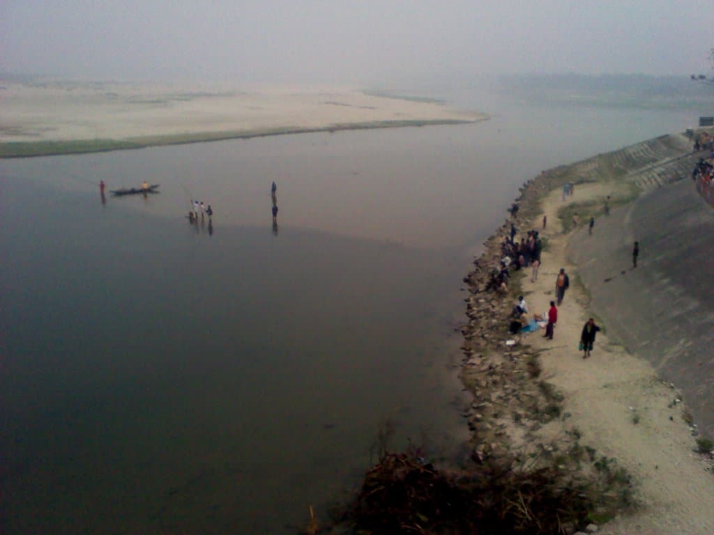
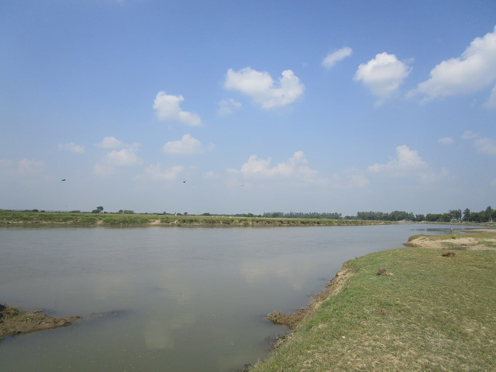
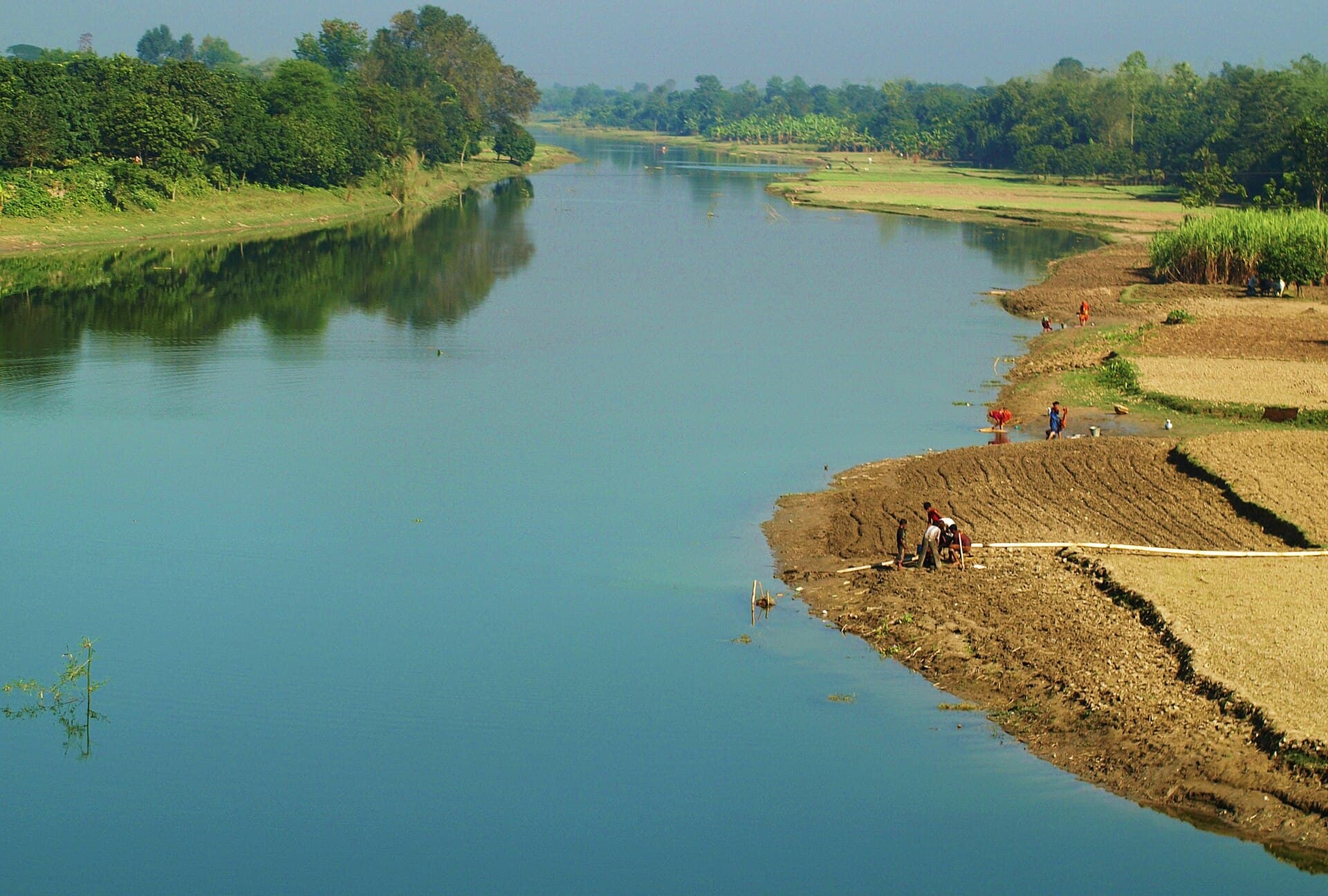
The Karatoya rises in the northern hills and flows southward through Rajshahi Division, carving a corridor that has shaped trade, agriculture, and settlement for more than two thousand years. Its broad channel and seasonal islands create a distinctive landscape of sandbanks, reed beds, and mango groves that still support traditional fishing and ferry communities.
History Along the Banks
Ancient texts mention the river as a boundary and pilgrimage route. The most tangible reminder is Mahasthangarh, the 3rd-century BCE citadel whose earthen ramparts overlook the western shore near Bogura. Scattered Hindu and Buddhist temple remains, plus later mosques, line the older river terraces, showing how successive rulers used the waterway for defense and irrigation.
What to See and Do
- Walk or cycle the raised embankments at Mahasthangarh for views of the river’s wide bend and seasonal char islands.
- Join a local wooden boat for a half-day drift between ghats, watching net fishermen and cattle crossings.
- Visit riverside villages at dawn to see jute drying and pottery firing using clay from the banks.
- Observe wintering waterbirds on the shallow stretches north of Sherpur.
How to Get There
Reach Bogura by train from Dhaka or by road via the Jamuna Bridge. From Bogura town, local buses or shared three-wheelers run the short distance to Mahasthangarh and the main ghats. Once on the river, small motorized country boats can be arranged through village cooperatives for day trips upstream or downstream.
Best Time to Visit
November through February brings cooler, drier weather ideal for walking and boating. The post-monsoon months of October and March still allow river travel but can bring sudden showers or rising water levels.
Nearby Attractions
Combine a river visit with the excavated ruins at Mahasthangarh, the terracotta temples of Puthia, or the silk-weaving villages around Shahzadpur. The river itself links these sites, offering a natural travel corridor across the division.