Skip to content
Plan & Tour
DestinationsItinerariesTravel BlogAboutContact
0Sign inPlan a trip
Plan & TourPlan & Tour

Travel guides, destination inspiration and curated itineraries for Canada, the USA and beyond, plus a free tool to plan your own day-by-day trip.

Get travel inspiration

Explore

  • All Destinations
  • Curated Itineraries
  • Travel Blog
  • Plan a Trip

Topics

  • Hiking & Nature
  • Food & Drink
  • City Breaks
  • Budget Travel

Company

  • About Us
  • Contact
  • Privacy Policy
  • Terms of Service

© 2026 Plan & Tour. Built for travellers.

Discover the world, one trip at a time.

Fita del Ram: Summit Hikes in Mallorca’s Serra de Tramuntana
  1. Home
  2. Destinations
  3. Balearic Islands
  4. Fita del Ram: Summit Hikes in Mallorca’s Serra de Tramuntana
Mountain

Fita del Ram: Summit Hikes in Mallorca’s Serra de Tramuntana

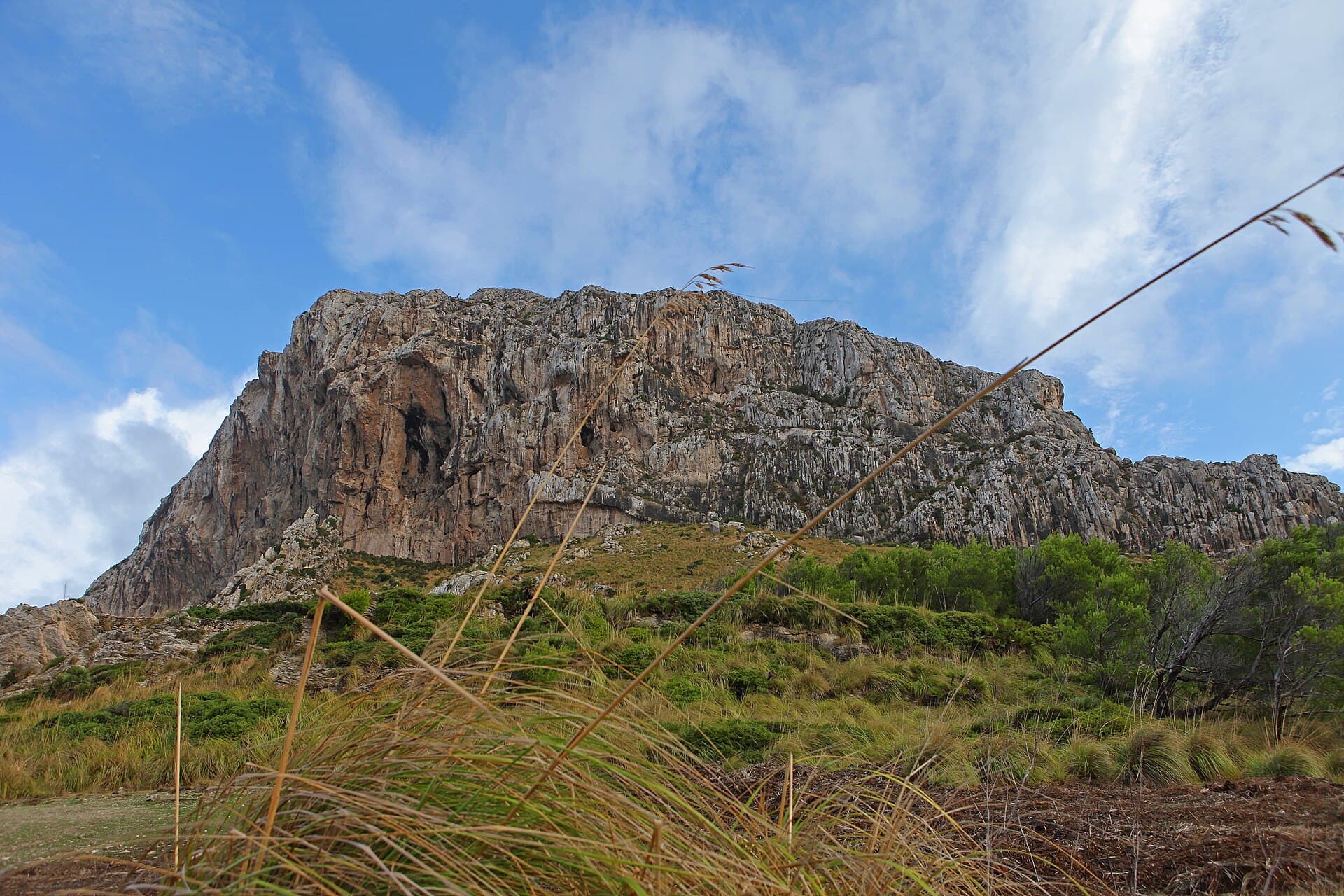
A rewarding climb to one of Mallorca's quieter Tramuntana peaks with sweeping views across the northwest coast and olive terraces.

Balearic IslandsUpdated 21 September 2026

Why Visit Fita del Ram

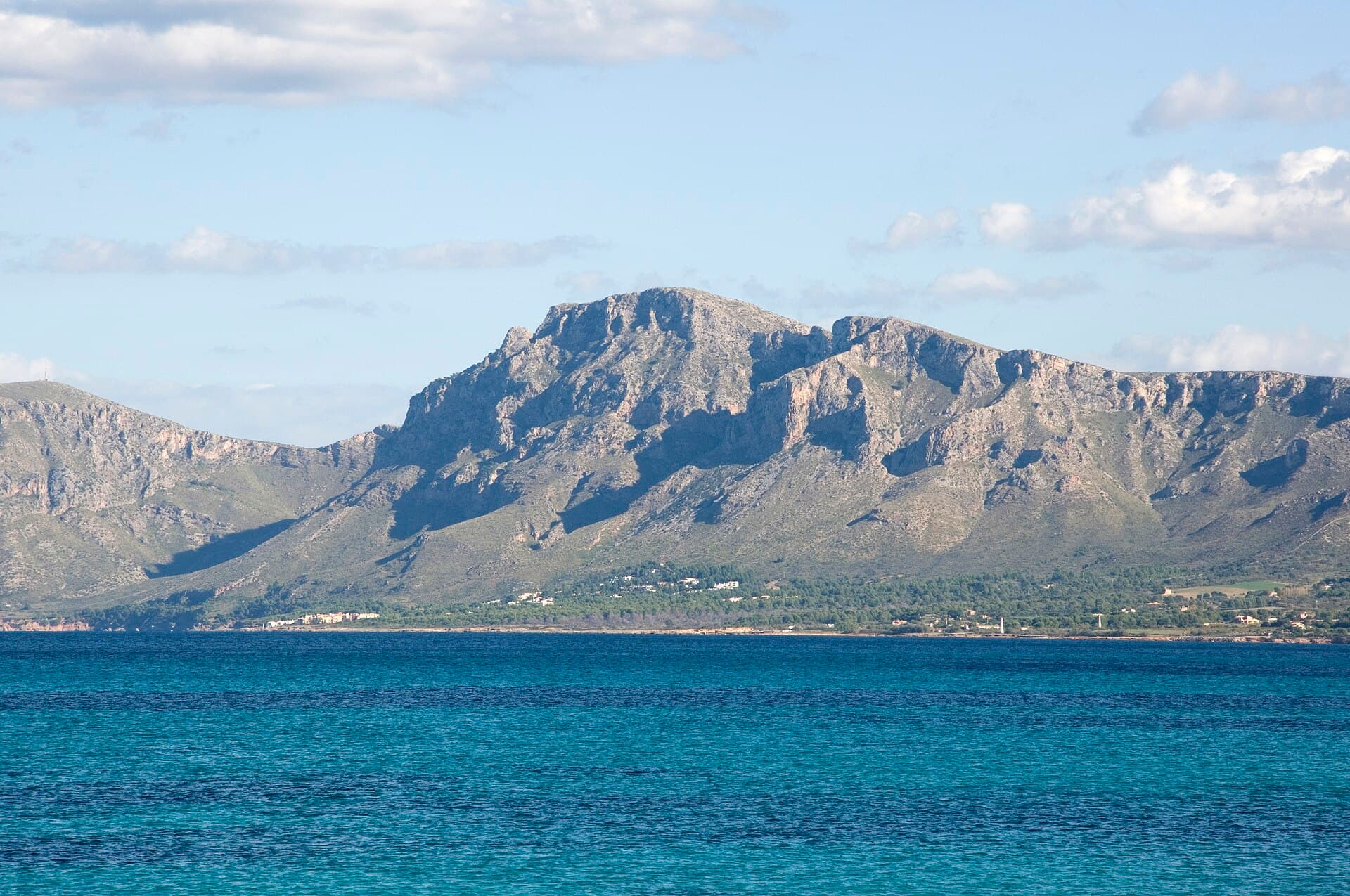
Fita del Ram rises in the heart of the Serra de Tramuntana, a UNESCO World Heritage landscape of jagged limestone, dry-stone terraces and ancient olive groves. The summit delivers 360-degree vistas that stretch from the Mediterranean to the Puig Major massif on clear days, without the crowds that gather on more famous neighbours such as Puig de Massanella.

Reaching the Trailhead

Most walkers start from the rural lanes above Esporles or the Coll de sa Gramola parking area on the Ma-1120 road. A well-marked GR-221 variant and several local PR paths converge on the mountain; the shortest route from the highest accessible track is roughly two hours one way with moderate elevation gain. Public buses serve Esporles from Palma, after which a short taxi or additional walk reaches the start points.

The Ascent and Summit Experience

The route crosses terraced farmland before entering pine woodland and open rocky slopes. Cairns and occasional painted markers guide the way across limestone pavement. Near the top the path narrows along a broad ridge with dramatic drops to the north. At the summit a trig point and small cairn mark the 1,027-metre high point; allow time to sit and watch the play of light across the coast and the distant island of Cabrera.

Flora and Fauna

Spring brings wild orchids and the scent of pine resin, while resident species include Booted Eagles, Blue Rock Thrushes and the endemic Mallorcan wall lizard. In autumn the terraces glow with turning vines and the air is cooler for sustained walking.

Best Time to Visit

October through May offers the most comfortable temperatures and reliable visibility. Summer ascents are possible only with an early start and generous water supply; the exposed rock heats quickly. Winter days are short but often crystal-clear after a tramuntana wind.

Nearby Attractions

Combine the hike with a visit to the historic village of Esporles and its textile museum, or continue along the GR-221 to the dramatic coastal village of Deià. The Jardins d’Alfàbia and the Sóller valley railway provide pleasant low-effort alternatives on rest days.

Visitor tips

  • Carry at least two litres of water per person; there are no reliable springs on the upper slopes.
  • Wear sturdy boots with good grip; sections of the final ridge are loose and polished limestone.
  • Download an offline map such as Wikiloc or the official GR-221 GPX; mobile coverage fades above 700 metres.

Frequently asked questions

How difficult is the hike to Fita del Ram?+

The route is rated moderate for experienced hill walkers. Expect 400u2013500 m of ascent on rocky paths; no technical scrambling is required, but good balance and route-finding help on the upper section.

Can I reach the summit without a car?+

Yes. Buses run from Palma to Esporles; from there it is a 45-minute walk or short taxi ride to the usual trailheads on the Ma-1120.

Is Fita del Ram suitable for children?+

Older children accustomed to mountain walking can manage the shorter routes, but the exposed ridge near the top is not ideal for very young hikers or those who dislike heights.

Are there any facilities on the mountain?+

There are none. Bring all food, water and navigation tools; the nearest services are in Esporles or Valldemossa.

What should I do if the weather turns?+

Descend immediately if clouds descend or wind strengthens. The Tramuntana range can change rapidly; always check the forecast the evening before and carry a lightweight shell.

Share
Google Maps Apple Maps Directions

Image: Joan Gené · CC0 · via Wikimedia Commons

Keep reading

Nearby & related

All stories
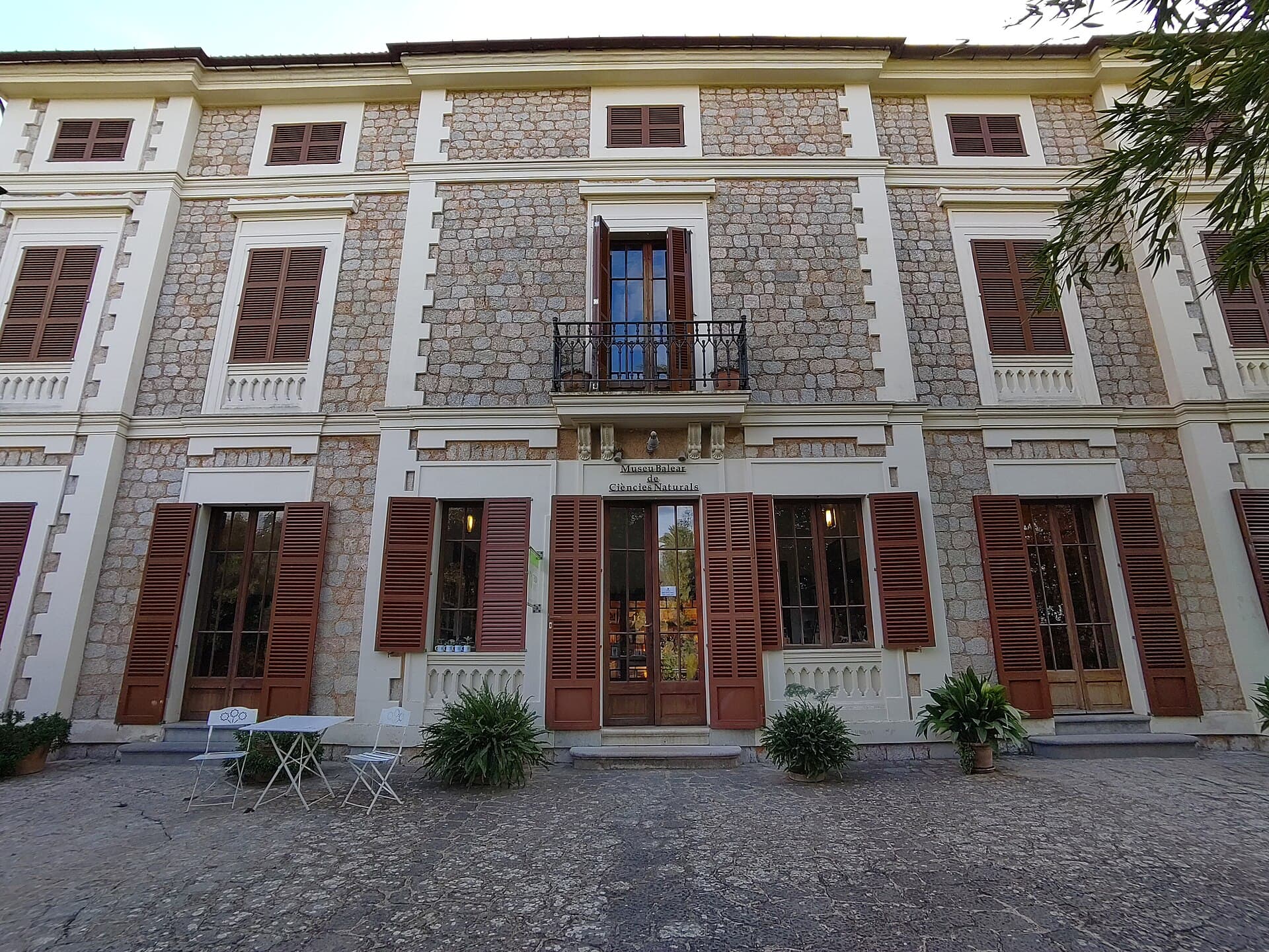
Museu Balear de Ciències Naturals: Mallorca’s Window into Balearic Biodiversity
Balearic Islands

Museu Balear de Ciències Naturals: Mallorca’s Window into Balearic Biodiversity

Explore the islands’ geology, endemic plants, and wildlife at this focused natural-history museum in Sóller.

21 September 2026
La Talaia Freda: Hiking Mallorca’s Quiet Eastern Summit
Balearic Islands

La Talaia Freda: Hiking Mallorca’s Quiet Eastern Summit

A straightforward ascent to sweeping views across northeastern Mallorca’s coastline and countryside.

21 September 2026
El Fumat: Hiking Menorca’s Dramatic Northern Peak
Balearic Islands

El Fumat: Hiking Menorca’s Dramatic Northern Peak

Scale the rugged summit of El Fumat for sweeping coastal views across Menorca’s wild north.

21 September 2026