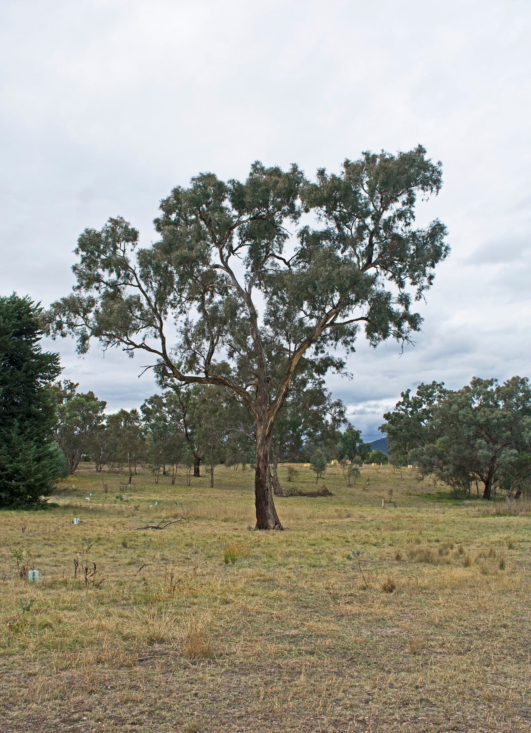
Why Farrer Trig Stands Out
Farrer Trig rises above the southern suburbs of Canberra as a modest yet rewarding summit. The trig point itself marks a high point on a grassy ridge offering uninterrupted 360-degree vistas that stretch from the Brindabella Ranges in the west to the distant peaks of Namadgi National Park. On clear days the Canberra skyline, Lake Burley Griffin and the distinctive shape of Mount Ainslie are all visible without the crowds found at more famous lookouts.
Getting to the Trailhead
Most visitors start from the southern Canberra suburb of Farrer. Local streets lead to small parking areas near the base of the reserve where a well-defined walking track begins. The approach is straightforward by car from the Tuggeranong Parkway or Athllon Drive, with the entire drive from central Canberra taking under 20 minutes. Public transport reaches nearby stops on Beasley Street, after which a short walk connects to the reserve entrance.
The Hike Itself
The main track climbs steadily through open eucalypt woodland and patches of native grassland. The route is roughly 3 km return with moderate elevation gain that most reasonably fit walkers complete in 60 to 90 minutes. The final section opens onto a broad ridge where the concrete trig station sits amid low shrubs. Because the trail is exposed, the walk rewards early morning or late afternoon starts when temperatures are cooler and light is best for photography.
Best Time to Visit
Autumn and spring deliver the most comfortable conditions, with mild temperatures and wildflowers in bloom. Summer hikes are possible but start before 8 am to avoid heat and carry at least two litres of water per person. Winter visits offer crisp air and occasional frost on the ridge, though strong winds can make the summit feel colder than the suburbs below.
Wildlife and Landscape
Eastern grey kangaroos graze the lower slopes at dawn and dusk. Birds such as crimson rosellas, yellow-faced honeyeaters and wedge-tailed eagles are commonly sighted along the ridge. The vegetation is a mix of scribbly gum and red stringybark, with grassy clearings that provide quiet picnic spots away from the trig itself.
Nearby Attractions Worth Combining
After descending, continue south to the Australian National Botanic Gardens or the walking trails of Red Hill for additional views. The suburb of Mawson offers cafés for post-hike coffee, while the larger reserves of Tuggeranong Hill and Mount Taylor lie within a short drive for those wanting a longer day of ridge walking.