Skip to content
Plan & Tour
DestinationsItinerariesTravel BlogAboutContact
0Sign inPlan a trip
Plan & TourPlan & Tour

Travel guides, destination inspiration and curated itineraries for Canada, the USA and beyond, plus a free tool to plan your own day-by-day trip.

Get travel inspiration

Explore

  • All Destinations
  • Curated Itineraries
  • Travel Blog
  • Plan a Trip

Topics

  • Hiking & Nature
  • Food & Drink
  • City Breaks
  • Budget Travel

Company

  • About Us
  • Contact
  • Privacy Policy
  • Terms of Service

© 2026 Plan & Tour. Built for travellers.

Discover the world, one trip at a time.

Mount Taylor: Canberra’s Accessible Hilltop Escape
  1. Home
  2. Destinations
  3. Australian Capital Territory
  4. Mount Taylor: Canberra’s Accessible Hilltop Escape
Mountain

Mount Taylor: Canberra’s Accessible Hilltop Escape

A short drive from central Canberra, Mount Taylor offers native bushland walks, city views and a peaceful break from urban life.

Australian Capital TerritoryUpdated 17 September 2026

Why Mount Taylor Stands Out

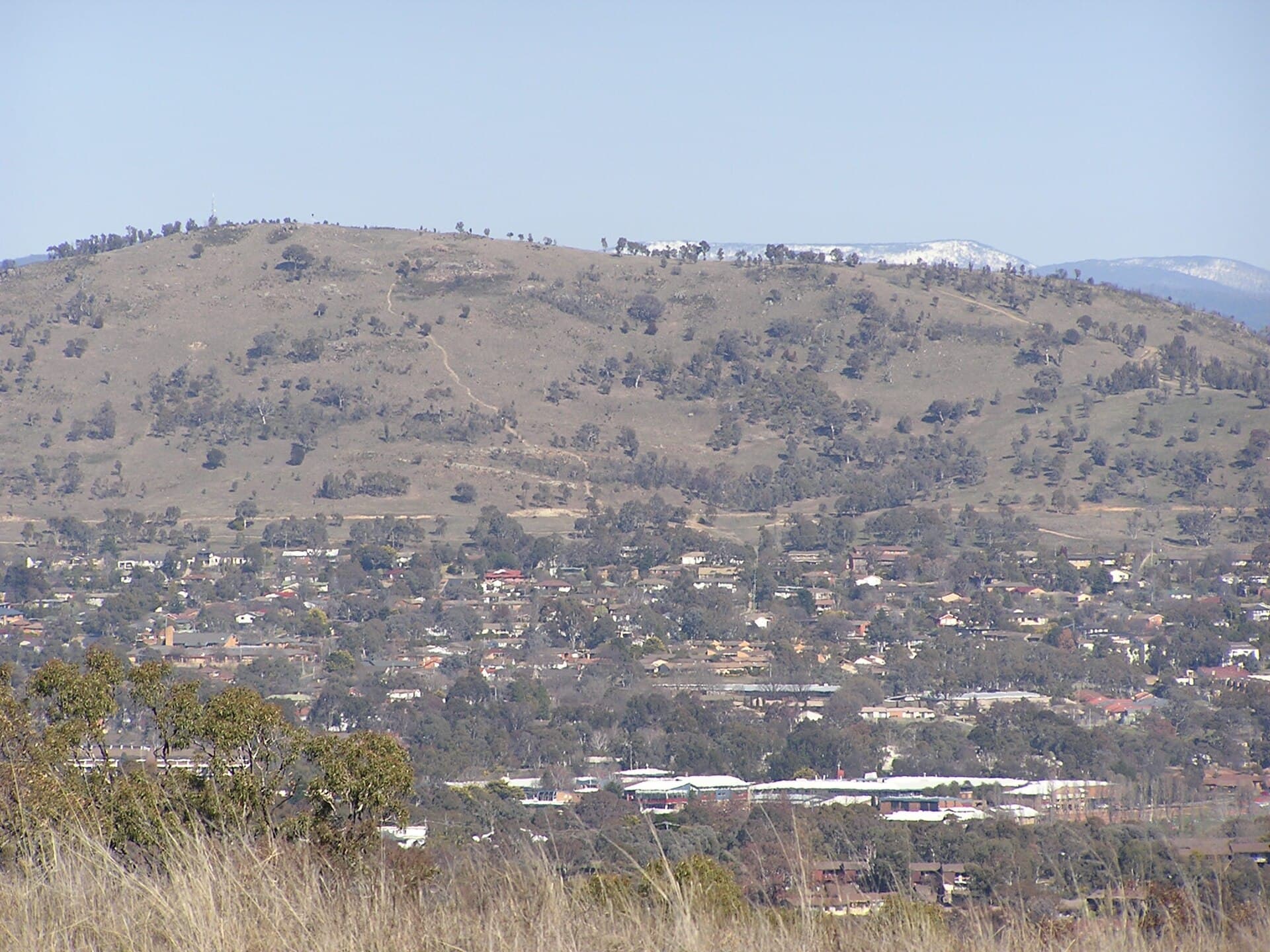
Mount Taylor rises gently above the Woden Valley suburbs of Canberra, forming part of the Canberra Nature Park. Its modest elevation delivers sweeping views across the city to the Brindabella Ranges while supporting a rich mix of eucalypt woodland and grassland that shelters kangaroos, echidnas and a variety of woodland birds. Because the reserve reaches right into residential streets, visitors can reach the summit without a long drive or specialised equipment.

Getting There

Drive south from Civic via the Tuggeranong Parkway and exit at Hindmarsh Drive; several signed parking areas sit along the western and northern edges of the reserve. Cyclists can follow the on-road cycle lanes along Athllon Drive or the shared path network from Woden Town Centre. Public buses stop at nearby suburban interchanges, from which short footpaths lead directly into the reserve. Once at the trailheads, all routes are well marked with directional signs and distance markers.

Walking Trails and Activities

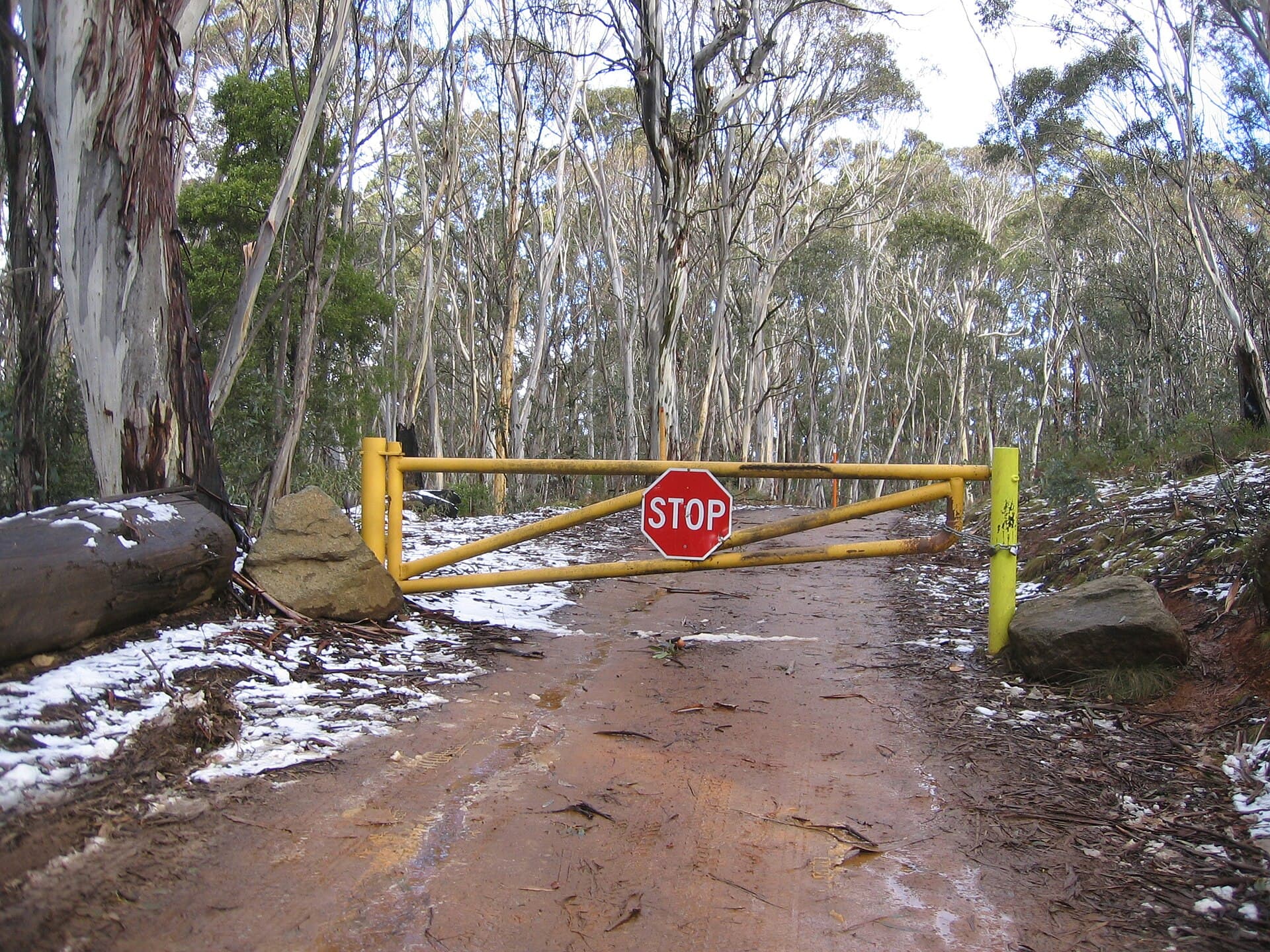
The main loop track climbs steadily through open woodland before reaching a broad grassy summit with 360-degree views. Side tracks branch off to quieter ridgelines where wildflowers appear in spring. Birdwatchers often spot scarlet robins and yellow-faced honeyeaters near the lower gullies. The terrain suits most fitness levels; the full circuit takes roughly two hours at a relaxed pace. Families appreciate the flat picnic area near the northern car park, while runners use the network for hill training. Dogs are permitted on leash on designated tracks.

Best Time to Visit

Canberra’s shoulder seasons deliver the most comfortable conditions. Spring brings wildflower displays and mild temperatures, while autumn offers clear skies and fewer insects. Summer visits require an early start to avoid heat and the risk of bushfire; winter mornings can be frosty but reward visitors with crisp visibility across the plains. Always check the ACT Emergency Services app for current fire-danger ratings before setting out.

Nearby Attractions

After descending, continue a short distance south to the Australian National Botanic Gardens or cross Lake Burley Griffin to the National Museum of Australia. The Tidbinbilla Nature Reserve lies about 40 minutes’ drive southwest, offering longer bushwalks and wildlife enclosures for those wanting a full-day itinerary.

Visitor tips

  • Carry at least one litre of water per person and wear sturdy shoes; the summit track includes loose gravel sections.
  • Download an offline map of Canberra Nature Park trails before arrival, as mobile coverage can drop on the western slopes.
  • Visit early on weekends to secure parking at the smaller northern trailhead and to watch kangaroos grazing at dawn.

Frequently asked questions

How long does it take to hike to the summit?+

Most walkers reach the top in 30u201345 minutes via the main track; allow two hours for the full loop at a comfortable pace.

Is Mount Taylor suitable for children?+

Yes, the gentler lower sections and picnic facilities make it family-friendly, though the final climb includes some steeper steps.

Are there toilets or water on the mountain?+

No facilities exist inside the reserve; the nearest public toilets and drinking fountains are at the suburban parks adjacent to the trailheads.

Can I mountain bike on the trails?+

Bikes are restricted to formed management tracks only; the single-track walking routes are for pedestrians.

What wildlife might I see?+

Eastern grey kangaroos are common at dawn and dusk; look for echidnas in leaf litter and woodland birds such as the golden whistler year-round.

Share
Google Maps Apple Maps Directions

Image: AYArktos · Public domain · via Wikimedia Commons

Keep reading

Nearby & related

All stories
A
Australian Capital Territory

Australians of the Year Walk: Canberra’s Lakeside Tribute to National Achievers

A peaceful foreshore path in Canberra honouring every Australian of the Year with permanent plaques and stories.

17 September 2026
Cotter River: Canberra’s Wild Waterway for Hiking, Fishing and Picnics
Australian Capital Territory

Cotter River: Canberra’s Wild Waterway for Hiking, Fishing and Picnics

Flowing through Namadgi National Park, the Cotter River offers clear trout streams, riverside campsites and easy day…

17 September 2026
Mount Franklin: Summit Hikes in the Brindabella Ranges
Australian Capital Territory

Mount Franklin: Summit Hikes in the Brindabella Ranges

Tackle the rugged trails and sweeping alpine views at this prominent peak in the Australian Capital Territory.

17 September 2026