
Keep reading
Nearby & related
National Capital Exhibition: Uncover Canberra’s Planned Origins
Trace the vision and evolution of Australia’s purpose-built capital through engaging exhibits at this lakeside museum.
18 September 2026
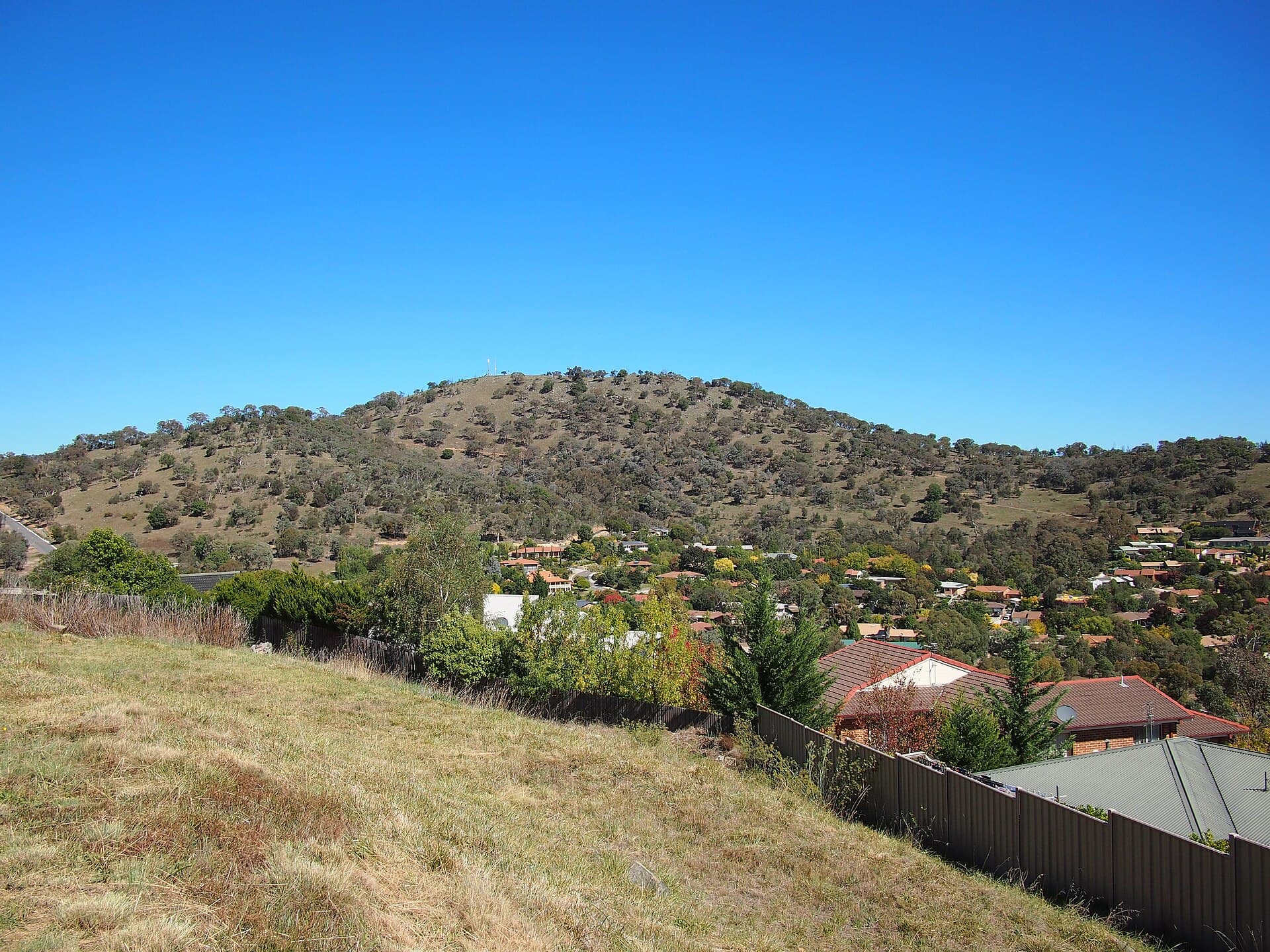
Explore the moderate trails and sweeping Canberra vistas from Tuggeranong Hill in the Australian Capital Territory.
Tuggeranong Hill rises above the southern suburbs of Canberra, offering one of the most accessible summit experiences in the Australian Capital Territory. At 855 metres, the hill provides uninterrupted views across the Tuggeranong Valley, Lake Tuggeranong and the distant Brindabella Ranges. The area forms part of Canberra Nature Park, preserving eucalypt woodland and grassy slopes that support kangaroos, echidnas and a variety of woodland birds.
The main walking track begins near the suburb of Conder and climbs steadily through open woodland before reaching the trig point at the summit. A popular 4 km loop circuit takes two to three hours return, with an elevation gain of around 200 metres. The route passes through stands of yellow box and red stringybark, then opens onto rocky outcrops with 360-degree views. Shorter out-and-back options suit families, while longer ridge walks connect with neighbouring reserves.
Early morning visits often reveal eastern grey kangaroos grazing on the lower slopes. In spring, native wildflowers appear along the trail edges, while autumn brings clear, crisp air ideal for photography. The summit is exposed, so visitors enjoy unobstructed sights of Canberra’s southern growth corridor and, on very clear days, the snowy peaks of the Australian Alps.
Drive south from central Canberra along the Tuggeranong Parkway, exiting at the Conder or Gordon turn-offs. Limited roadside parking exists at several trailheads; arrive early on weekends. Public buses reach nearby suburbs, after which a short walk leads to the reserve boundary. No facilities exist on the hill itself, so carry all water and supplies.
Autumn and spring offer the most comfortable temperatures and stable weather. Summer days can exceed 30 °C with little shade, while winter brings occasional frost and strong winds at the summit. Always check the ACT emergency services app for fire-danger ratings during the bushfire season.
Combine the hike with a visit to nearby Tuggeranong Homestead or the shores of Lake Tuggeranong for a relaxed picnic. The broader Canberra Nature Park network includes the adjacent Rob Roy Nature Reserve and the larger Namadgi National Park, both within a 30-minute drive.
Keep reading
Trace the vision and evolution of Australia’s purpose-built capital through engaging exhibits at this lakeside museum.
The main track is rated moderate, with a steady climb suitable for anyone with reasonable fitness. The surface is mostly formed dirt with some rocky sections near the top.
Yes, many families complete the shorter out-and-back route. The full loop may be tiring for younger children, but plenty of rest spots exist along the way.
Coverage is generally good from the summit and most of the trail, though it can drop in deeper gullies.
Dogs are permitted on leash in most sections of the reserve; check current signage at the trailhead for any temporary restrictions.
Sunscreen, a hat, insect repellent, a basic first-aid kit and a map or GPS app are recommended, as the hill has limited signage once you leave the main track.
Discover the enduring legacy of aGOG, a pioneering venue that championed Australian women artists in the national…
Tackle this modest peak in the Australian Capital Territory for sweeping views across the Brindabella Ranges and quiet…