Skip to content
Plan & Tour
DestinationsItinerariesTravel BlogAboutContact
0Sign inPlan a trip
Plan & TourPlan & Tour

Travel guides, destination inspiration and curated itineraries for Canada, the USA and beyond, plus a free tool to plan your own day-by-day trip.

Get travel inspiration

Explore

  • All Destinations
  • Curated Itineraries
  • Travel Blog
  • Plan a Trip

Topics

  • Hiking & Nature
  • Food & Drink
  • City Breaks
  • Budget Travel

Company

  • About Us
  • Contact
  • Privacy Policy
  • Terms of Service

© 2026 Plan & Tour. Built for travellers.

Discover the world, one trip at a time.

Colville River: Remote Arctic Wilderness in Alaska’s North Slope
  1. Home
  2. Destinations
  3. North Slope Borough
  4. Colville River: Remote Arctic Wilderness in Alaska’s North Slope
River

Colville River: Remote Arctic Wilderness in Alaska’s North Slope

The largest river on Alaska's North Slope offers unmatched tundra scenery, fishing, and wildlife in true Arctic isolation.

North Slope BoroughUpdated 13 August 2026

Why the Colville River Draws Adventurers

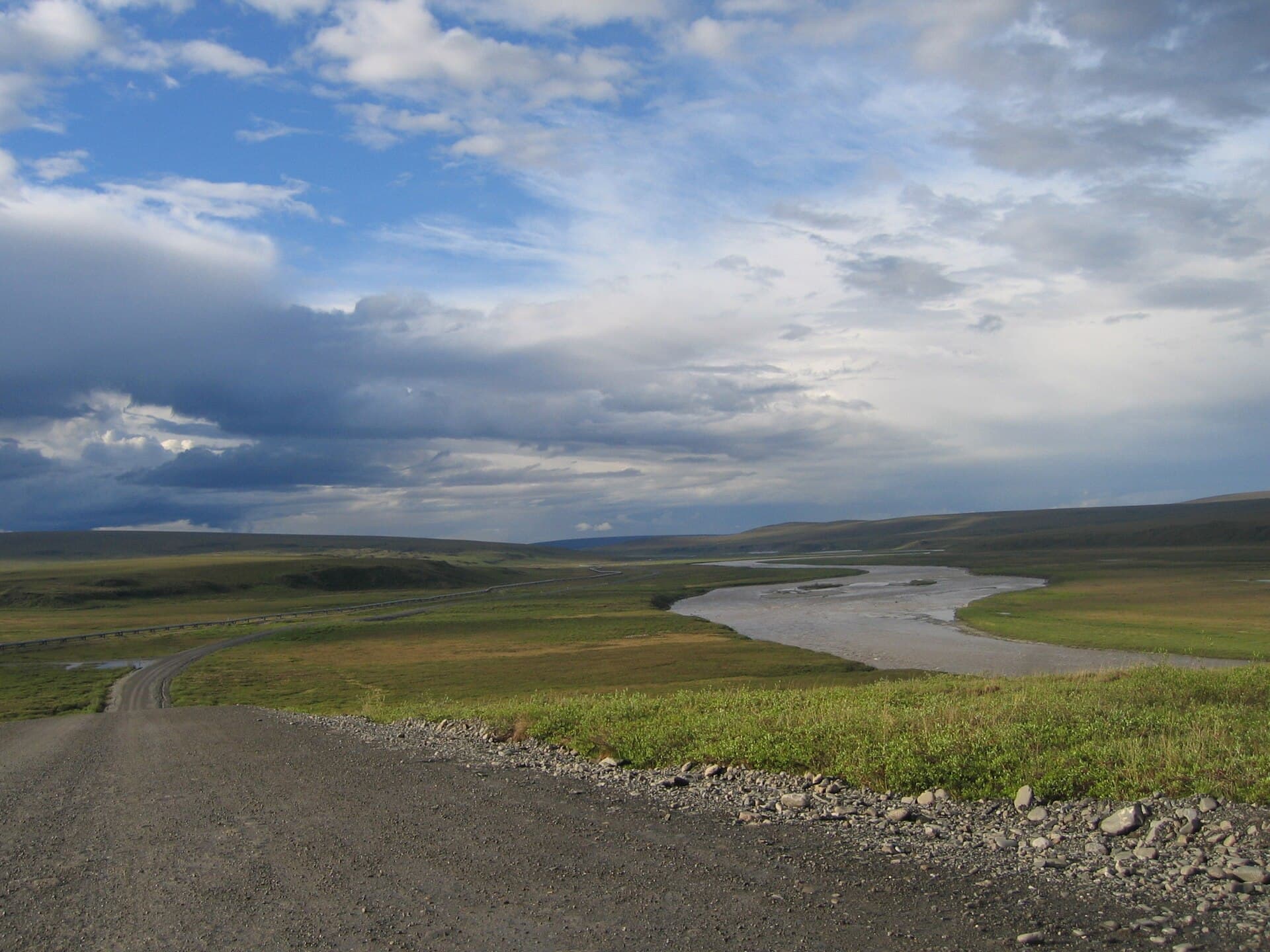
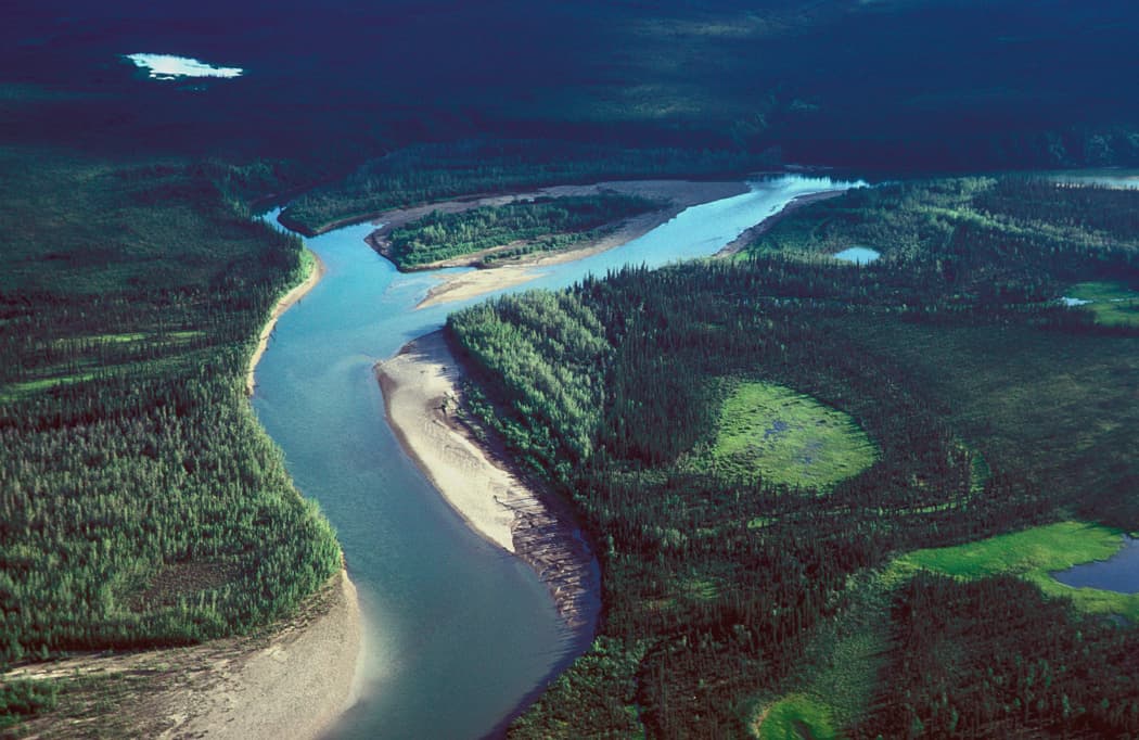
The Colville River drains a vast Arctic watershed across the North Slope Borough, flowing north from the Brooks Range foothills to the Beaufort Sea. Its braided channels, steep cutbanks, and surrounding tundra create one of the most intact wilderness river systems in North America. Visitors experience 24-hour summer daylight, sweeping views of treeless plains, and the quiet that defines true Arctic travel.

Things to See and Do

Fishing the Colville

Anglers target Arctic grayling in clear side channels and Dolly Varden char near the delta. Float trips allow access to remote stretches where fish see little pressure. Success depends on matching local hatches and respecting catch-and-release ethics in this sensitive environment.

Wildlife and Scenery

  • Caribou herds cross the river during seasonal migrations
  • Grizzly bears forage along gravel bars
  • Migratory birds nest on the tundra flats
  • Permafrost features and river ice scars mark the landscape

Boating or hiking short distances from camp reveals these sights without disturbing the fragile ground.

How to Reach the Colville River

Most travelers fly into Utqiagvik or Deadhorse, then arrange charter flights or boat transport to the river corridor. Float-plane landings on the main stem or tributaries provide entry points for multi-day raft or kayak trips. Road access is nonexistent; all visits require advance planning with local operators or village permissions near Nuiqsut.

Best Time to Visit

July and early August offer the warmest temperatures, open water, and active wildlife. Earlier June trips may encounter lingering ice and high water, while late August brings cooler nights and possible early snow. Winter travel is possible only with extreme preparation and experienced guides.

Nearby Destinations

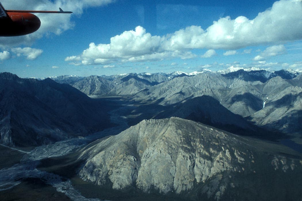
The river lies west of the Arctic National Wildlife Refuge and south of the Beaufort Sea coastline. Extended trips can combine the Colville with coastal lagoons or shorter excursions toward the Brooks Range headwaters for additional Arctic scenery.

Visitor tips

  • Hire local guides from Nuiqsut or Utqiagvik for safe navigation and cultural knowledge.
  • Pack layered clothing for sudden temperature swings and always carry bear deterrent.
  • Obtain required permits and confirm village access rules before departure.
  • Practice strict Leave No Trace principles on the fragile tundra.

Frequently asked questions

Do I need a guide to visit the Colville River?+

Independent travel is difficult due to remote logistics and permit requirements; most visitors use local charter services or guides based in North Slope communities.

What kind of fishing is available?+

Arctic grayling and Dolly Varden char are the primary species; float trips provide the best access to productive waters.

How remote is the area?+

There are no roads or services along the river; all supplies must be carried in and waste packed out.

Can I see the northern lights?+

Aurora viewing is possible from late August onward when skies are dark, though most river trips occur during continuous daylight months.

Are there any communities near the river?+

The Inupiat village of Nuiqsut sits near the lower river and delta; visitors should respect local lands and obtain permission where required.

Share
Google Maps Apple Maps Directions

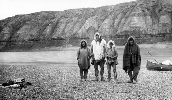
Image: F. C. Schrader for the United States Geological Survey · Public domain · via Wikimedia Commons

Keep reading

Nearby & related

All stories
Sagavanirktok River: Rafting Alaska’s Remote Arctic Frontier
North Slope Borough

Sagavanirktok River: Rafting Alaska’s Remote Arctic Frontier

Experience the wild, roadless beauty of one of Alaska’s northernmost rivers on the North Slope.

17 August 2026
John River: Wilderness Float Trips in Alaska’s Remote Brooks Range
North Slope Borough

John River: Wilderness Float Trips in Alaska’s Remote Brooks Range

The John River offers intrepid travelers a rare chance to paddle through untouched Arctic wilderness in Alaska’s North…

17 August 2026
Ivishak River: Remote Wilderness Rafting in Alaska’s Arctic National Wildlife Refuge
North Slope Borough

Ivishak River: Remote Wilderness Rafting in Alaska’s Arctic National Wildlife Refuge

Experience pristine Arctic tundra, trophy fishing, and untouched Brooks Range scenery on this wild North Slope river.

17 August 2026