Skip to content
Plan & Tour
DestinationsItinerariesTravel BlogAboutContact
0Sign inPlan a trip
Plan & TourPlan & Tour

Travel guides, destination inspiration and curated itineraries for Canada, the USA and beyond, plus a free tool to plan your own day-by-day trip.

Get travel inspiration

Explore

  • All Destinations
  • Curated Itineraries
  • Travel Blog
  • Plan a Trip

Topics

  • Hiking & Nature
  • Food & Drink
  • City Breaks
  • Budget Travel

Company

  • About Us
  • Contact
  • Privacy Policy
  • Terms of Service

© 2026 Plan & Tour. Built for travellers.

Discover the world, one trip at a time.

Castro Valnera: Summit Hikes and Panoramic Views in Cantabria
  1. Home
  2. Destinations
  3. Cantabria
  4. Castro Valnera: Summit Hikes and Panoramic Views in Cantabria
Mountain

Castro Valnera: Summit Hikes and Panoramic Views in Cantabria

Climb the prominent peak of Castro Valnera for sweeping vistas across the Cantabrian Mountains and northern Spain's coastline.

CantabriaUpdated 8 November 2026

Why Castro Valnera Stands Out

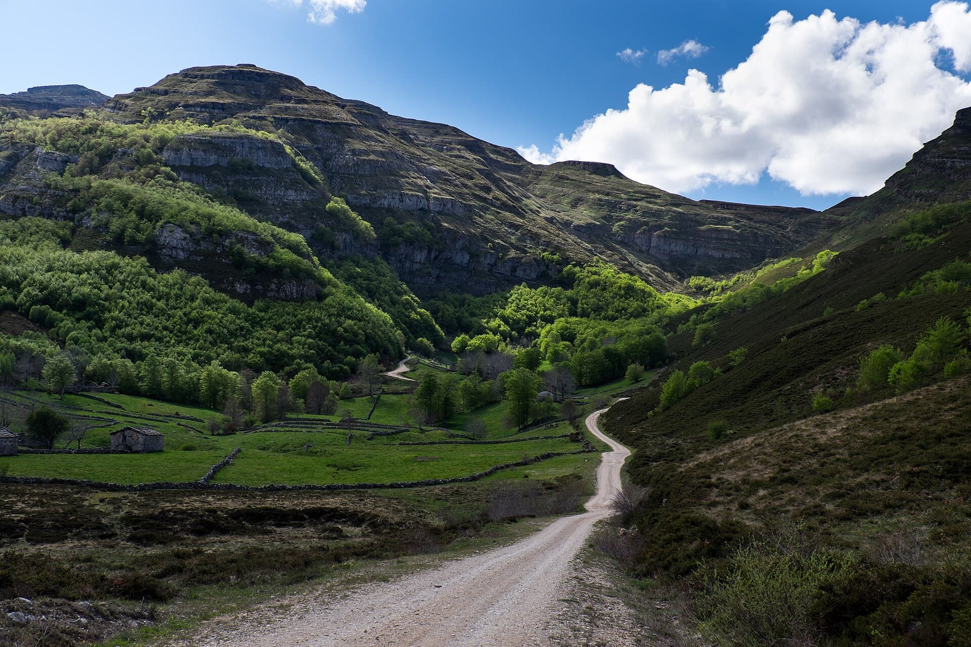
Castro Valnera rises as a distinctive limestone summit in the Cantabrian Mountains, offering hikers unobstructed 360-degree views that stretch from the Bay of Biscay to distant inland ranges. Its position makes it a natural vantage point for observing weather patterns and distant peaks such as Peña Cabarga and the Picos de Europa on clear days.

Reaching the Mountain

Access begins from the Pas valleys in central Cantabria. Drivers typically approach via the N-623 road from Santander or Burgos, turning onto local tracks near Vega de Pas or San Roque de Riomiera. The final approach uses unpaved forest roads that end at trailheads around 1,200 meters elevation. Public transport reaches nearby villages, after which taxis or arranged transfers complete the journey to the starting points.

Best Time to Visit

Late spring through early autumn provides the most reliable conditions for hiking, when snow has melted and daylight hours are long. Summer mornings often start clear before afternoon clouds build, while September and October bring stable high-pressure weather and fewer visitors. Winter visits require ice axes and experience due to persistent snow and ice on the upper slopes.

Trails and Activities

The standard route follows a well-marked path from the Collado de la Sía trailhead, climbing steadily through beech woods before emerging onto open karst terrain. The final section involves gentle scrambling over limestone slabs to the summit cross. Most fit hikers complete the round trip in four to five hours. Photographers favor the eastern ridge for sunrise shots over the Pas valley. Nearby, the same trailhead serves as a launch point for longer traverses linking to adjacent summits such as Cueto de la Lezna.

Flora and Fauna

Spring brings carpets of gentians and orchids on the lower meadows, while griffon vultures and alpine choughs patrol the upper cliffs year-round. The limestone pavement supports specialized plants adapted to thin soils and strong winds.

Nearby Destinations

Combine a summit day with visits to the historic town of Aguilar de Campoo for Romanesque architecture or the Cabárceno Natural Park for wildlife viewing. The coastal towns of Santoña and Laredo lie less than an hour’s drive north, offering seafood and beach walks as a contrast to the mountain experience.

Visitor tips

  • Carry more water than you expect; limestone terrain offers few reliable springs above the tree line.
  • Check local weather forecasts the evening before, as wind speeds on the summit can exceed 60 km/h even on calm valley days.
  • Park only in designated pullouts to avoid blocking narrow forest tracks used by local shepherds and emergency vehicles.

Frequently asked questions

How difficult is the hike to the summit of Castro Valnera?+

The route involves steady elevation gain and short sections of easy scrambling, suitable for hikers with good fitness and basic mountain experience.

Are there any facilities or shelters on the mountain?+

No permanent facilities exist above the trailhead; carry all supplies and plan to descend before dark.

Can I reach Castro Valnera without a car?+

Buses serve the Pas valley villages, but the final 8u201310 km to the trailhead requires a taxi or pre-arranged lift.

Is Castro Valnera suitable for families with children?+

The upper sections demand sure-footedness and concentration, making it better suited to older children and teenagers accustomed to mountain walking.

What should I do if fog rolls in during the ascent?+

Turn back immediately and follow the marked path downhill; the route is well cairned but visibility drops quickly on the karst plateau.

Share
Google Maps Apple Maps Directions

Image: Rafa Diez · CC BY-SA 4.0 · via Wikimedia Commons

Keep reading

Nearby & related

All stories
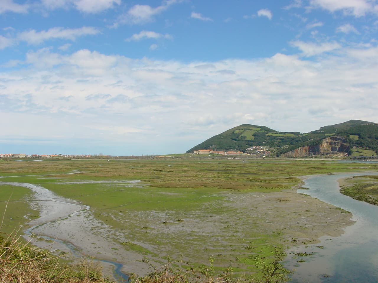
Santoña, Victoria and Joyel Marshes Natural Park: Birdwatching and Coastal Wetlands in Cantabria
Cantabria

Santoña, Victoria and Joyel Marshes Natural Park: Birdwatching and Coastal Wetlands in Cantabria

This protected estuary system in northern Spain delivers exceptional year-round birdlife and quiet trails amid tidal…

8 November 2026
Sierra del Escudo de Cabuérniga: Hiking the Protected Mountains of Cantabria
Cantabria

Sierra del Escudo de Cabuérniga: Hiking the Protected Mountains of Cantabria

Traverse beech forests and limestone ridges in this quiet natural reserve between the Saja Valley and the coast.

8 November 2026
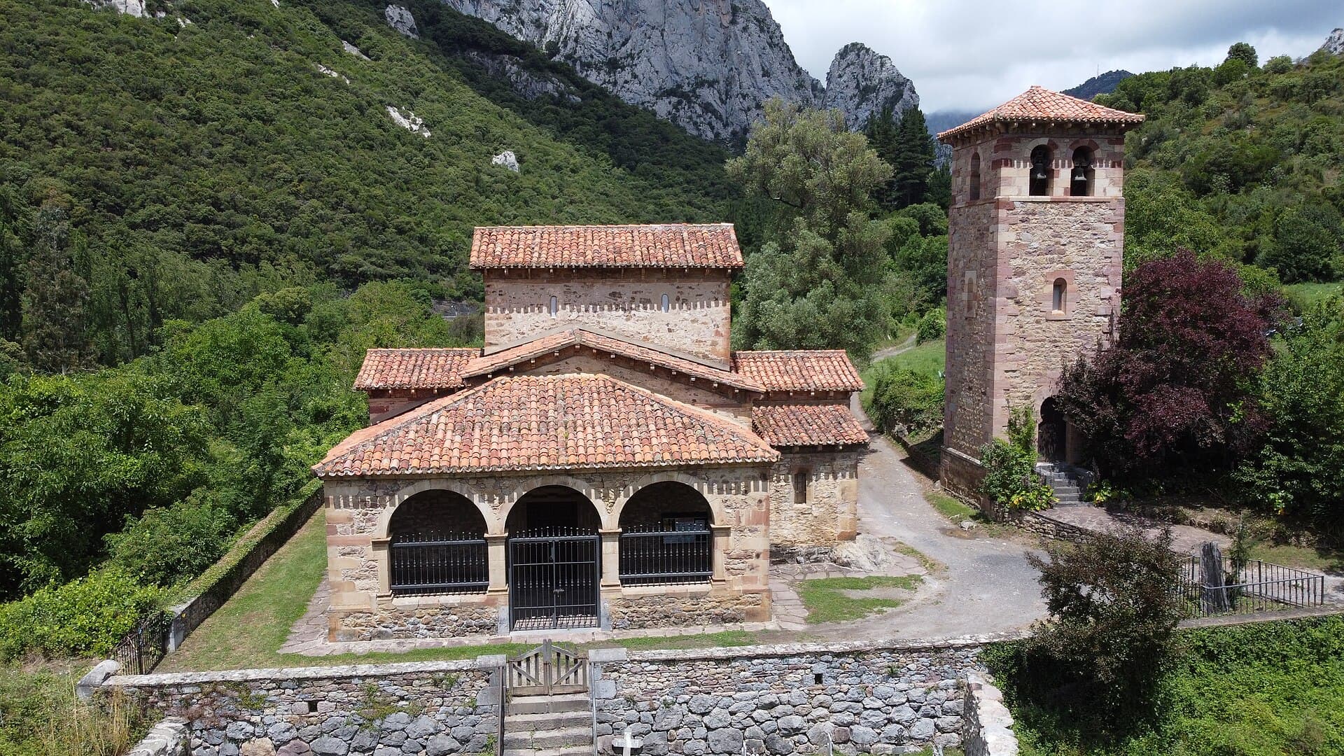
Church of Santa María de Lebeña: Cantabria’s 10th-Century Romanesque Treasure
Cillorigo de Liébana

Church of Santa María de Lebeña: Cantabria’s 10th-Century Romanesque Treasure

Discover the serene beauty and rare pre-Romanesque architecture of this historic church nestled in the Liébana valley.

8 November 2026