Skip to content
Plan & Tour
DestinationsItinerariesTravel BlogAboutContact
0Sign inPlan a trip
Plan & TourPlan & Tour

Travel guides, destination inspiration and curated itineraries for Canada, the USA and beyond, plus a free tool to plan your own day-by-day trip.

Get travel inspiration

Explore

  • All Destinations
  • Curated Itineraries
  • Travel Blog
  • Plan a Trip

Topics

  • Hiking & Nature
  • Food & Drink
  • City Breaks
  • Budget Travel

Company

  • About Us
  • Contact
  • Privacy Policy
  • Terms of Service

© 2026 Plan & Tour. Built for travellers.

Discover the world, one trip at a time.

Caldera de Taburiente National Park: Hiking La Palma’s Dramatic Volcanic Caldera
  1. Home
  2. Destinations
  3. Santa Cruz de Tenerife Province
  4. Caldera de Taburiente National Park: Hiking La Palma’s Dramatic Volcanic Caldera
Protected area

Caldera de Taburiente National Park: Hiking La Palma’s Dramatic Volcanic Caldera

Experience the vast volcanic bowl, pine forests, and sweeping viewpoints of this protected area on La Palma in the Canary Islands.

Santa Cruz de Tenerife ProvinceUpdated 9 November 2026

Why Visit Caldera de Taburiente National Park

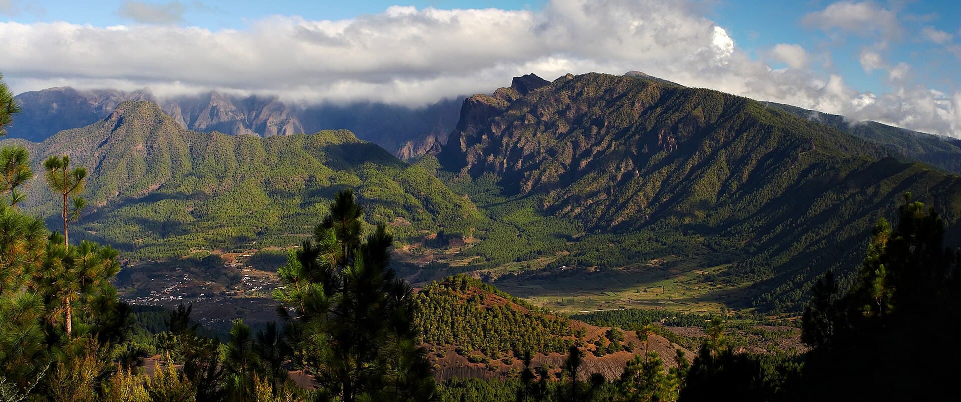
This national park protects one of the world’s most impressive volcanic calderas, a roughly eight-kilometer-wide depression carved by ancient eruptions and erosion on the island of La Palma. Its steep walls, dotted with Canary Island pine forests and crossed by clear streams, create a striking contrast between rugged rock faces and lush vegetation. The park offers hikers a rare chance to walk inside an active volcanic landscape while enjoying some of Europe’s darkest skies for stargazing.

Getting There

Most visitors arrive by air at La Palma Airport near Santa Cruz de La Palma. From the airport, a rental car provides the most flexible access to the park entrances near El Paso and Los Llanos de Aridane. Public buses run to the nearby towns, after which a short taxi or shuttle reaches the main trailheads. The park lies roughly 30 minutes by road from the island’s main population centers.

Best Time to Visit

La Palma enjoys mild temperatures year-round, but spring and autumn deliver the most comfortable hiking conditions with lower rainfall and moderate daytime warmth. Summer brings longer daylight for extended treks, while winter offers fewer crowds though occasional showers can make higher trails slippery. Early mornings are ideal for avoiding afternoon clouds that often gather inside the caldera.

Top Activities and Sights

The classic route begins at the La Cumbrecita viewpoint, where visitors gain their first panoramic look into the caldera. From there, well-marked trails descend through fragrant pine woods to the riverbed and continue toward the impressive waterfall at Cascada de los Colores. More ambitious hikers tackle the full rim-to-floor traverse or climb to Roque de los Muchachos for 360-degree views. Birdwatchers often spot the endemic blue chaffinch, while photographers focus on the layered rock formations and dramatic light at sunrise or sunset.

Exploring Nearby

After a day inside the caldera, many travelers continue to the volcanic landscapes of the Cumbre Vieja ridge or the coastal banana plantations around Puerto Naos. The island’s capital, Santa Cruz de La Palma, offers historic architecture and a lively waterfront just a short drive away. Stargazing tours depart from observatories near the park boundary, taking advantage of La Palma’s protected night skies.

Visitor tips

  • Wear sturdy hiking boots with good grip, as many trails involve steep, rocky sections that can be loose or wet.
  • Carry more water than you think you need; the calderau2019s microclimate can turn hot and dry quickly even on overcast days.
  • Check current trail conditions at the visitor center before setting out, especially after heavy rain when paths may be closed for safety.

Frequently asked questions

How difficult are the hiking trails in Caldera de Taburiente?+

Trails range from short, moderate viewpoint walks to strenuous full-day descents and ascents. Beginners can enjoy the rim viewpoints, while experienced hikers tackle the longer interior routes.

Do I need a guide to visit the park?+

No permit or guide is required for most trails, but joining a guided walk adds local knowledge about geology and flora, especially useful on longer routes.

Can I camp inside Caldera de Taburiente National Park?+

Overnight stays are not permitted except at the designated camping area near the river, which requires advance reservation through the park authority.

Is the park good for families with children?+

The shorter rim trails and picnic areas suit families, but the steep interior paths are better suited to older children and fit adults.

What should I bring for a day hike?+

Pack sturdy shoes, sun protection, at least two liters of water per person, a light rain jacket, and a headlamp in case you return after dark.

Share
Google Maps Apple Maps Directions

Visitor info

Official website

Contact info via Wikidata

Image: Michael Apel · CC BY-SA 3.0 · via Wikimedia Commons

Keep reading

Nearby & related

All stories
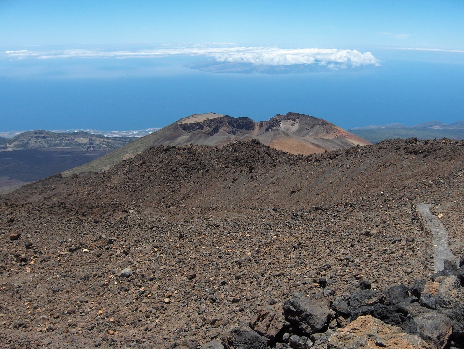
Pico Viejo: Tenerife’s Quiet Volcanic Summit Beside Mount Teide
Santa Cruz de Tenerife Province

Pico Viejo: Tenerife’s Quiet Volcanic Summit Beside Mount Teide

A guide to hiking and experiencing the dramatic second-highest peak in the Canary Islands inside Teide National Park.

9 November 2026
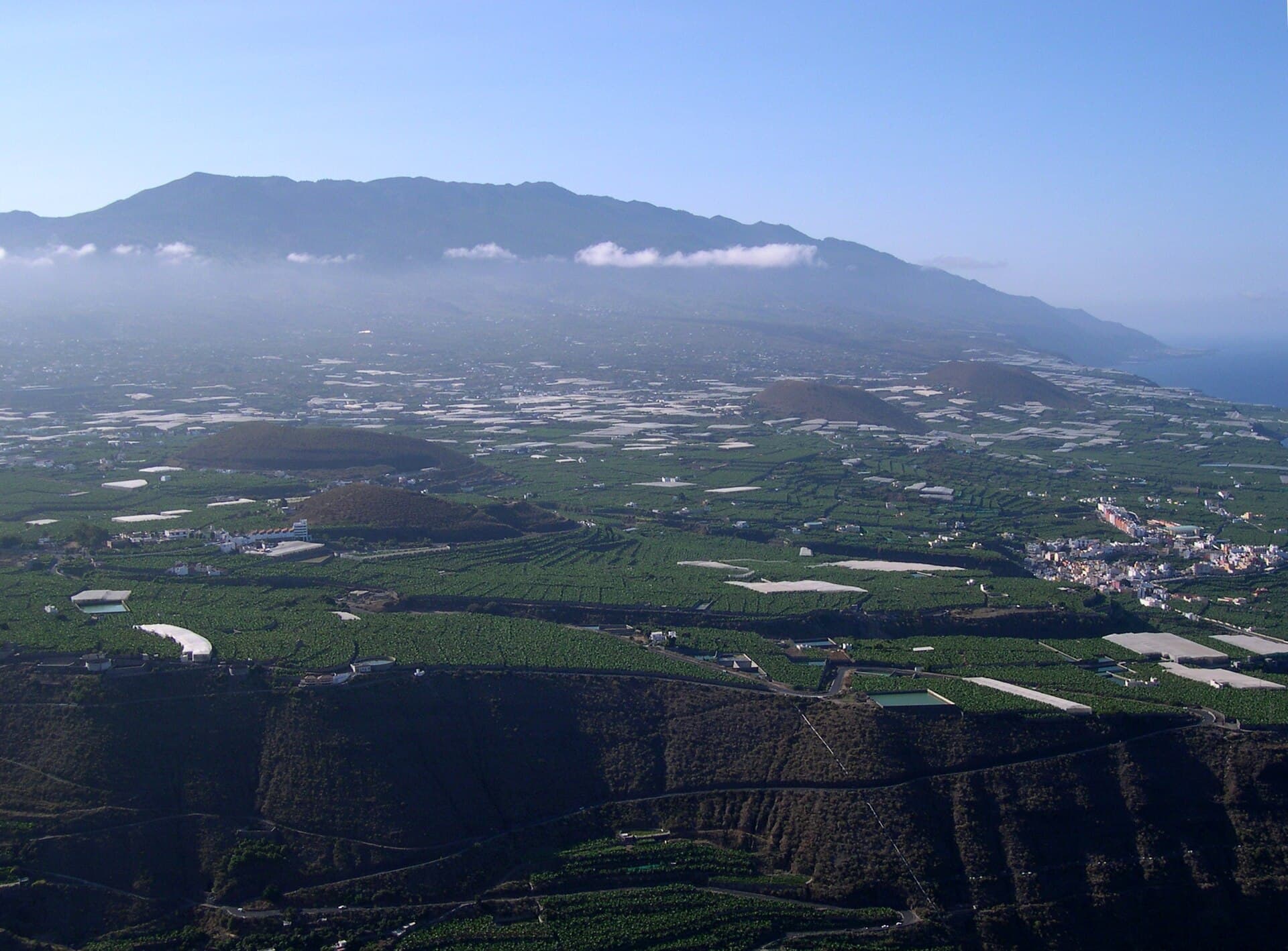
Cumbre Vieja: Hiking the Active Volcanic Ridges of La Palma
Santa Cruz de Tenerife Province

Cumbre Vieja: Hiking the Active Volcanic Ridges of La Palma

Discover dramatic lava fields, panoramic island views, and well-marked trails across this volcanic mountain range on La…

8 November 2026
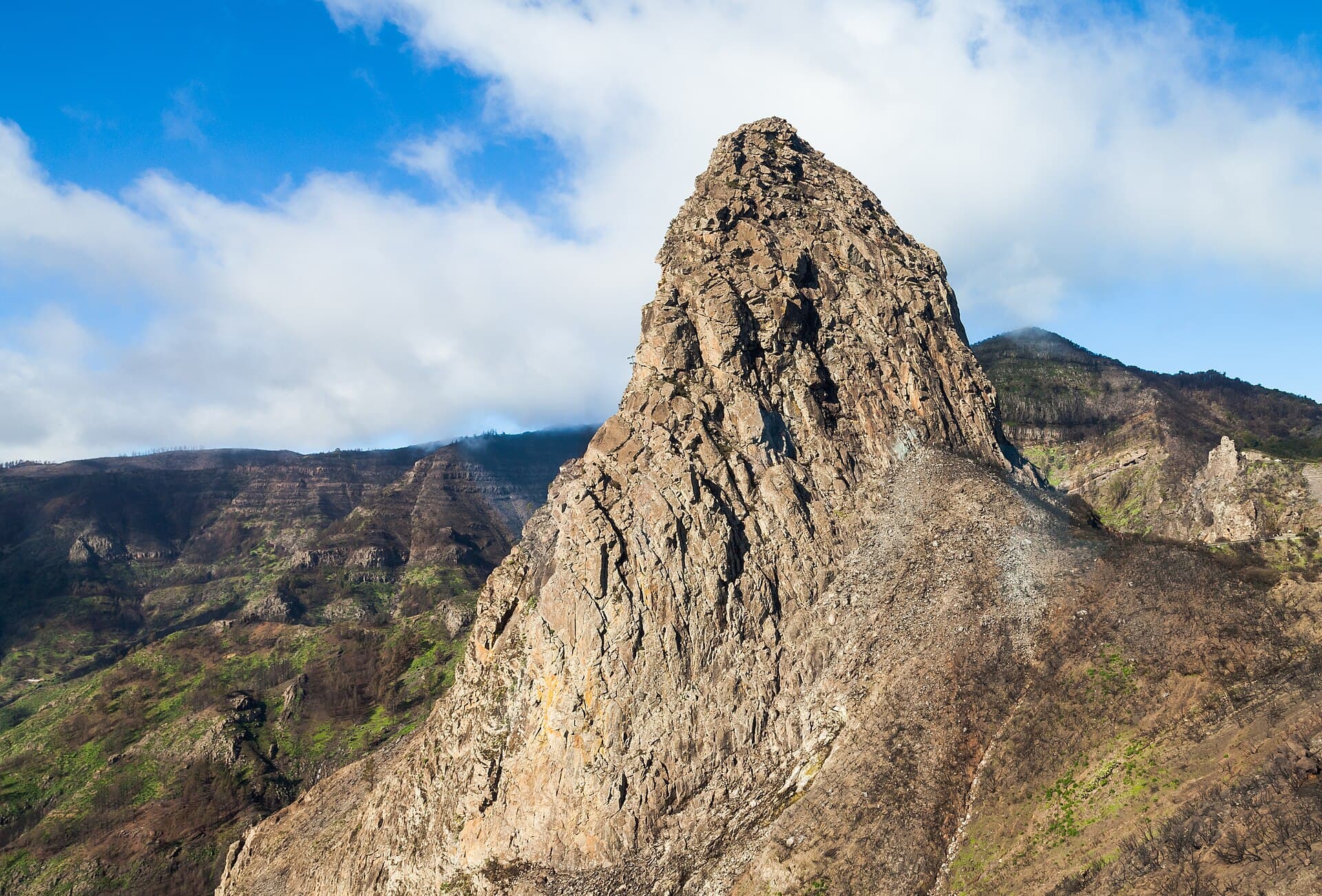
Garajonay National Park: Hiking La Gomera’s Ancient Laurel Forests
Santa Cruz de Tenerife Province

Garajonay National Park: Hiking La Gomera’s Ancient Laurel Forests

A UNESCO-listed realm of misty laurel woodland and volcanic ridges on the island of La Gomera.

31 October 2026