Keep reading
Nearby & related
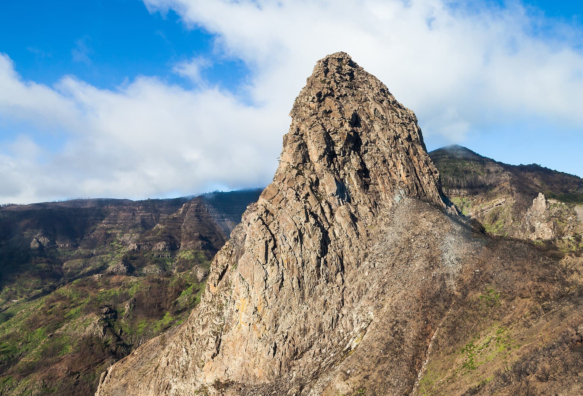
Garajonay National Park: Hiking La Gomera’s Ancient Laurel Forests
A UNESCO-listed realm of misty laurel woodland and volcanic ridges on the island of La Gomera.
31 October 2026
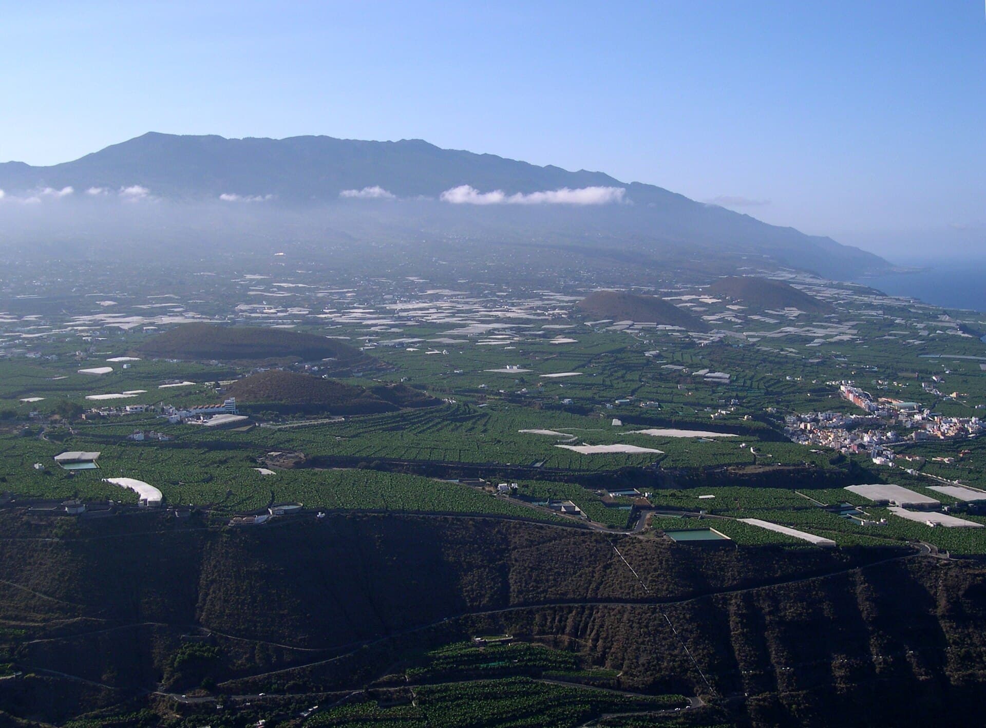
Discover dramatic lava fields, panoramic island views, and well-marked trails across this volcanic mountain range on La Palma.
Cumbre Vieja forms the southern volcanic spine of La Palma, rising to over 1,900 meters with steep ridges, recent lava flows, and wide Atlantic vistas. The landscape reveals the Canary Islands’ ongoing geological story through cinder cones, solidified flows, and pine forests that survived past eruptions. Hikers value the contrast between black volcanic rock and green vegetation, plus clear days when Tenerife and El Hierro appear on the horizon.
Most visitors fly into La Palma Airport, then drive the LP-2 or LP-3 roads south toward the ridge. Rental cars offer flexibility for trailheads scattered along the main spine. Public buses reach larger villages such as El Paso and Los Llanos, after which taxis or local shuttles connect to popular starting points. The coastal road from Santa Cruz de La Palma provides scenic access from the east side.
The GR-131 long-distance trail crosses the entire ridge, offering multi-day options or shorter sections between viewpoints. Key highlights include the 2021 eruption zone near Tajogaite, where new trails let walkers observe fresh lava fields safely from designated paths. Further north, the Volcán San Antonio crater provides easy access and sweeping views over the western slopes. Birdwatchers scan for laurel forest species and raptors, while photographers capture sunrise over the caldera rim. Stargazing ranks among the best in Europe thanks to low light pollution.
Spring (March–May) and autumn (September–November) bring milder temperatures and lower rainfall, ideal for ridge walking. Summer offers long daylight but hotter lower slopes and stronger trade winds. Winter months can bring occasional snow at elevation and stronger storms, though clear days still allow excellent visibility.
Combine a visit with the Caldera de Taburiente National Park to the north for forested crater hikes. The banana plantations and black-sand beaches around Puerto Naos lie only a short descent west. East-coast villages such as Los Cancajos offer harbor walks and fresh seafood after a day on the ridge.
Keep reading
A UNESCO-listed realm of misty laurel woodland and volcanic ridges on the island of La Gomera.
Yes, designated trails and viewpoints remain open and monitored. Stay on marked paths and heed any temporary closures issued by park rangers.
Trails range from easy crater walks to strenuous ridge traverses. Most visitors find moderate sections manageable with good fitness and proper footwear.
Buses serve nearby towns, and some trailheads have seasonal shuttle options. Taxis from the airport or main villages provide another practical alternative.
Water, sun protection, a windproof jacket, snacks, and a headlamp for early starts or late returns are essential.
Local operators run volcano and stargazing tours that include transport from coastal resorts and expert commentary on the geology.
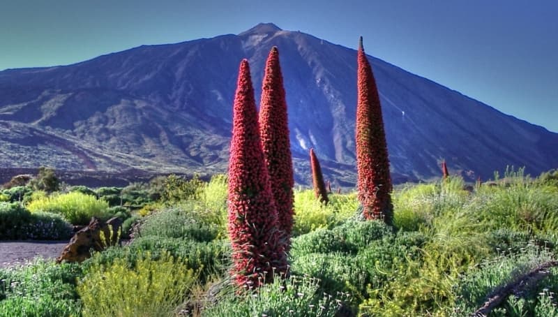
Spain’s highest peak and a UNESCO site offering dramatic hikes, cable-car rides, and stargazing on Tenerife.